Big Bee Ridge
Total Miles
3.8
Technical Rating
Best Time
Spring, Fall, Winter
Trail Type
High-Clearance 4x4 Trail
Accessible By
Trail Overview
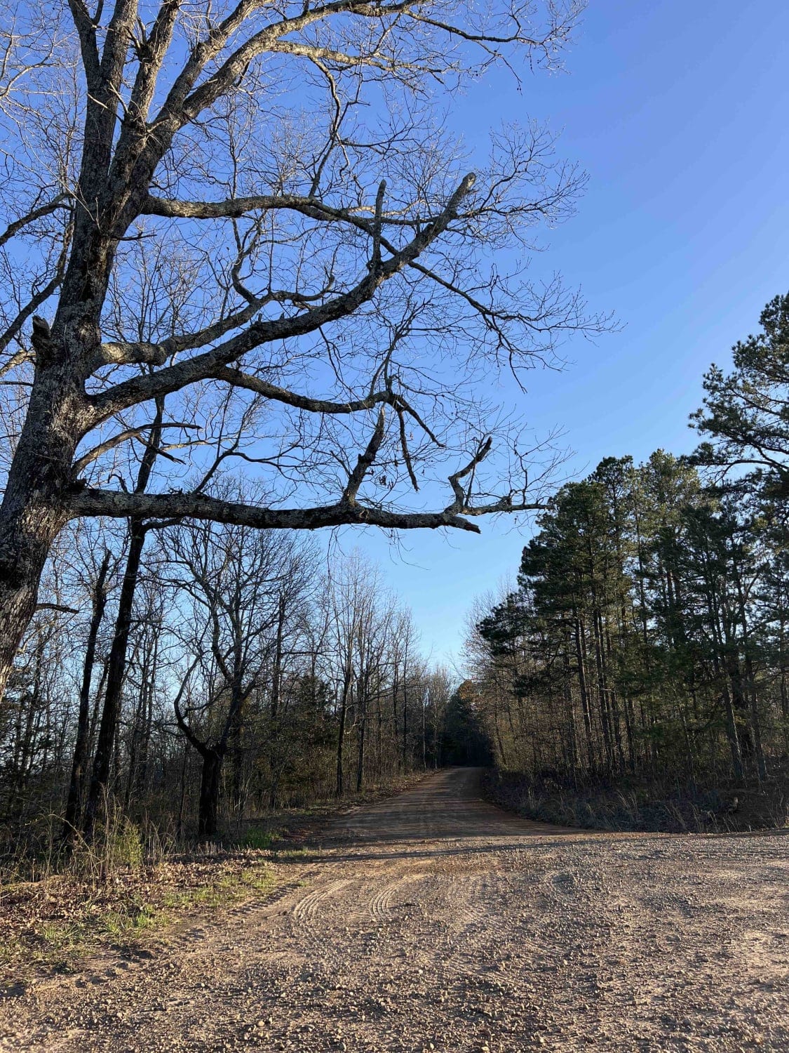
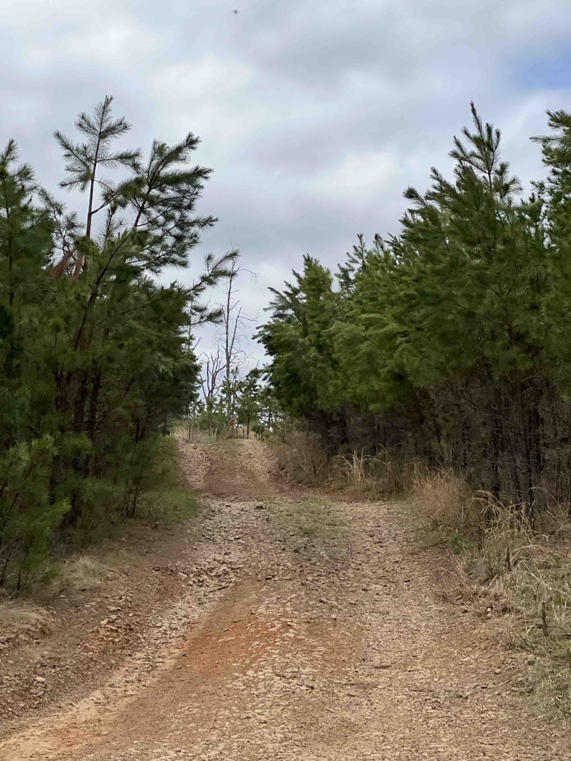
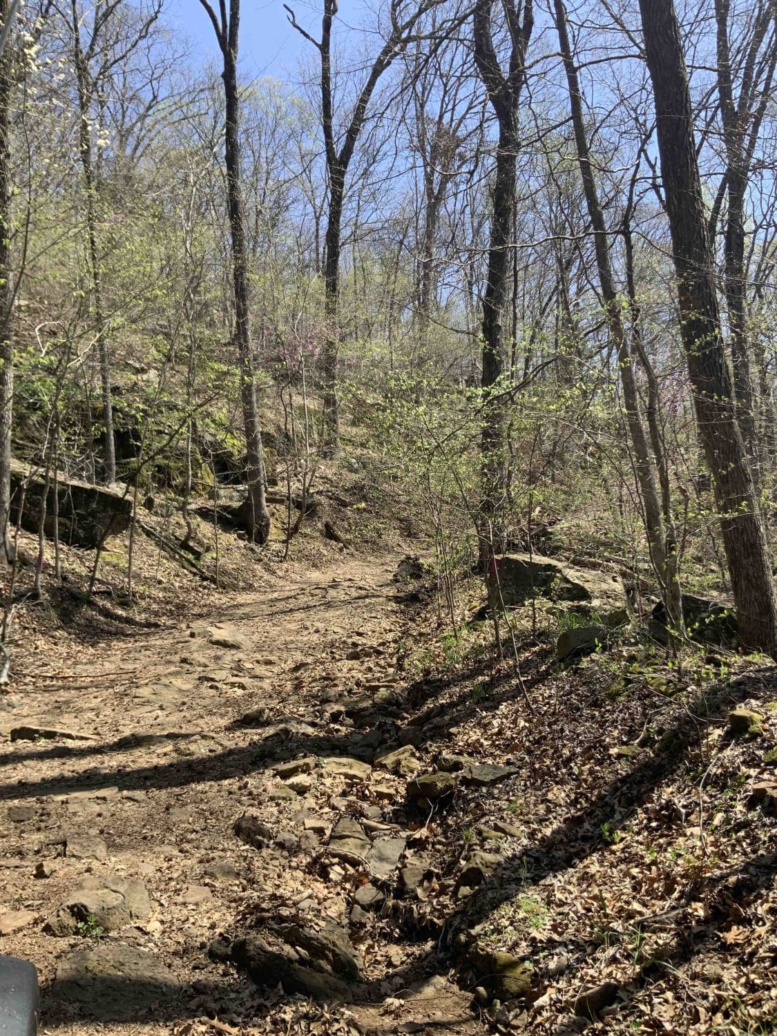
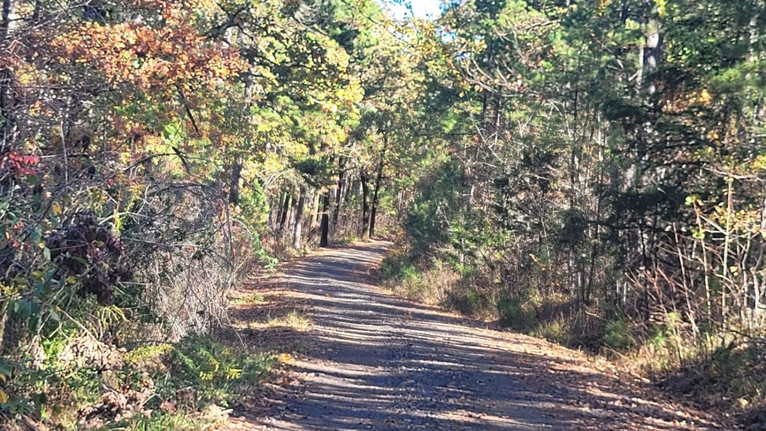
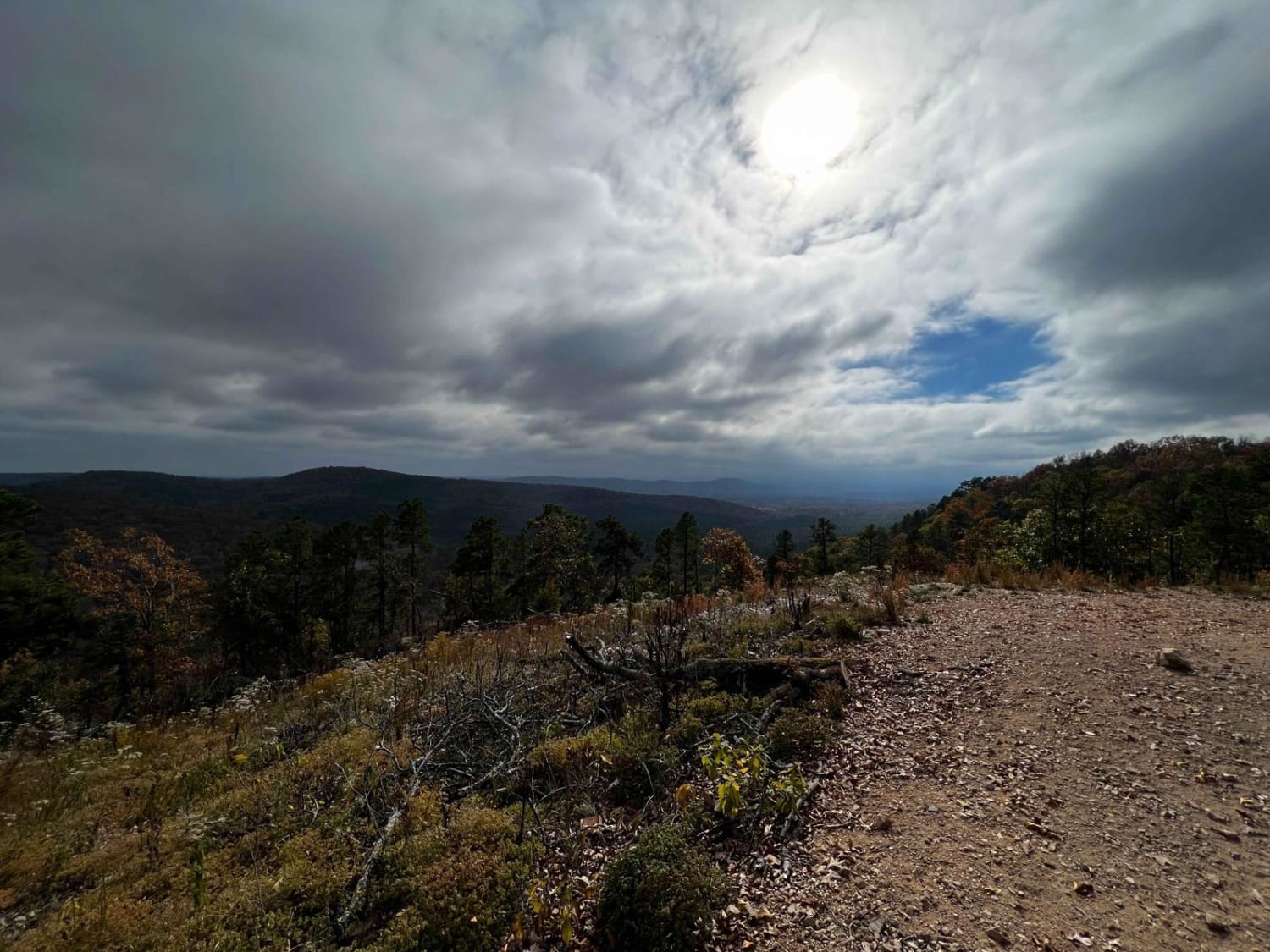
Big Bee Ridge is a deceiving trail at first because it starts as an easy gravel road with amazing views of the forest. The road then clearly ends and goes into a 4x4 section. Rocks, boulders, and washed-out sections only allow for a high-clearance vehicle to pass through. This is a very technical trail; having a spotter is helpful in certain sections. The pictures don't do justice to the difficulty level of this route. Rock sliders are helpful in certain areas as well. Once you get down to the end, unless you plan on winching yourself up the trail, go right on Mount Pleasant Road. This road is also very technical and is the only way out of the forest. There are very deep water crossings and mud holes on Mount Pleasant Road. There are no restrooms anywhere in this area and the campsite is dispersed.
Photos of Big Bee Ridge
Difficulty
Rock sliders and 33-inch tires are suggested. Off-camber sections are where rollovers can occur. There are no deep water sections, however, in order to get out of this area, you either have to turn around and go back up this trail or you have to ford two water crossings that could be higher than your doors. There are very large rocks that could do damage to your differential. Due to the depth of the water on the next trail, a high-clearance vehicle is strongly advised.
Status Reports
Big Bee Ridge can be accessed by the following ride types:
- High-Clearance 4x4
Big Bee Ridge Map
Popular Trails
Warloop Road - 1567a
Champ Road to Nella Road

F46 Outlaw
5 Main Park Road
The onX Offroad Difference
onX Offroad combines trail photos, descriptions, difficulty ratings, width restrictions, seasonality, and more in a user-friendly interface. Available on all devices, with offline access and full compatibility with CarPlay and Android Auto. Discover what you’re missing today!