Black Oak Ridge Spur South
Total Miles
1.3
Technical Rating
Best Time
Spring, Summer, Fall, Winter
Trail Type
50" Trail
Accessible By
Trail Overview
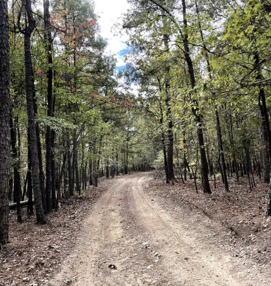
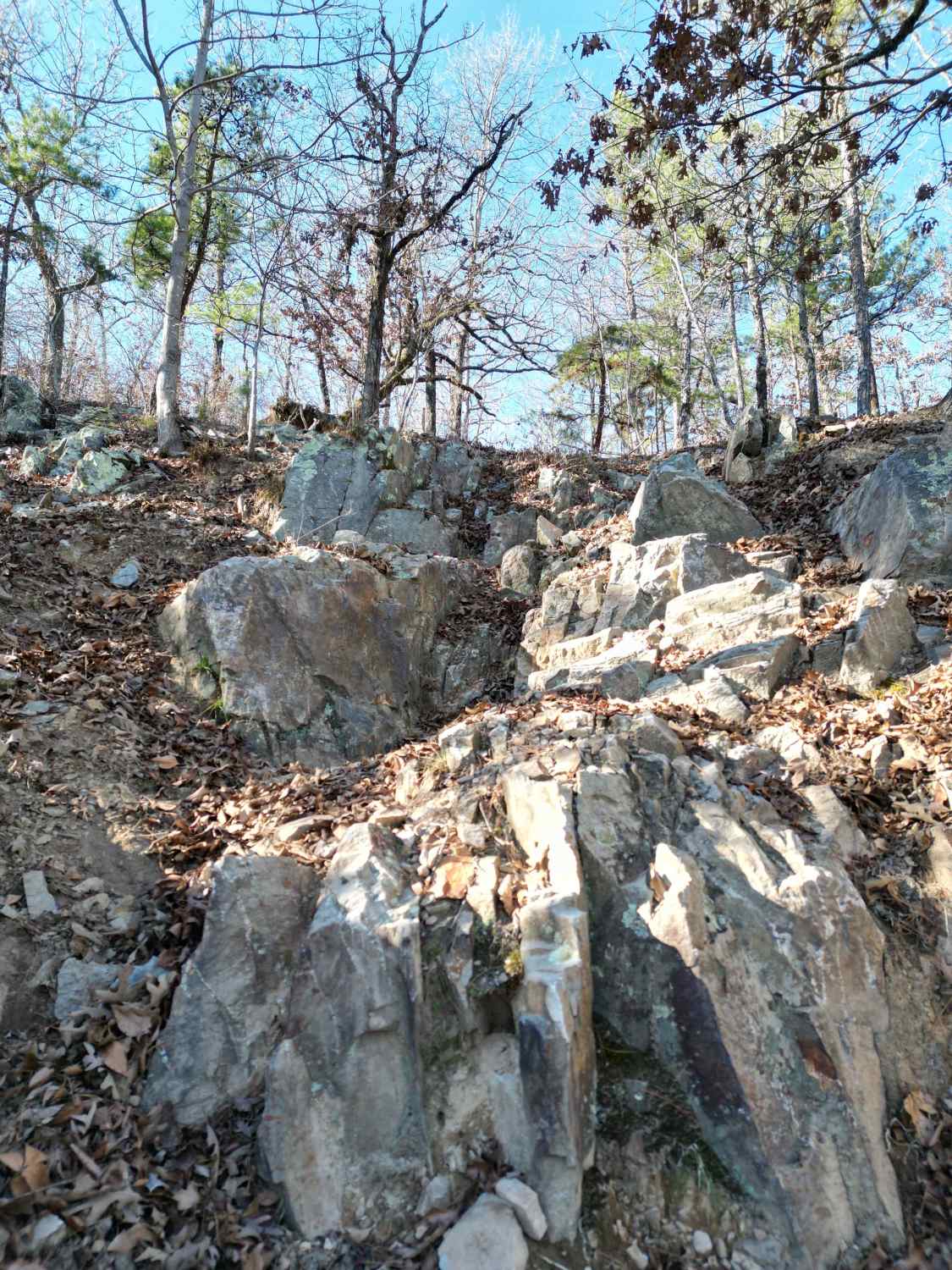
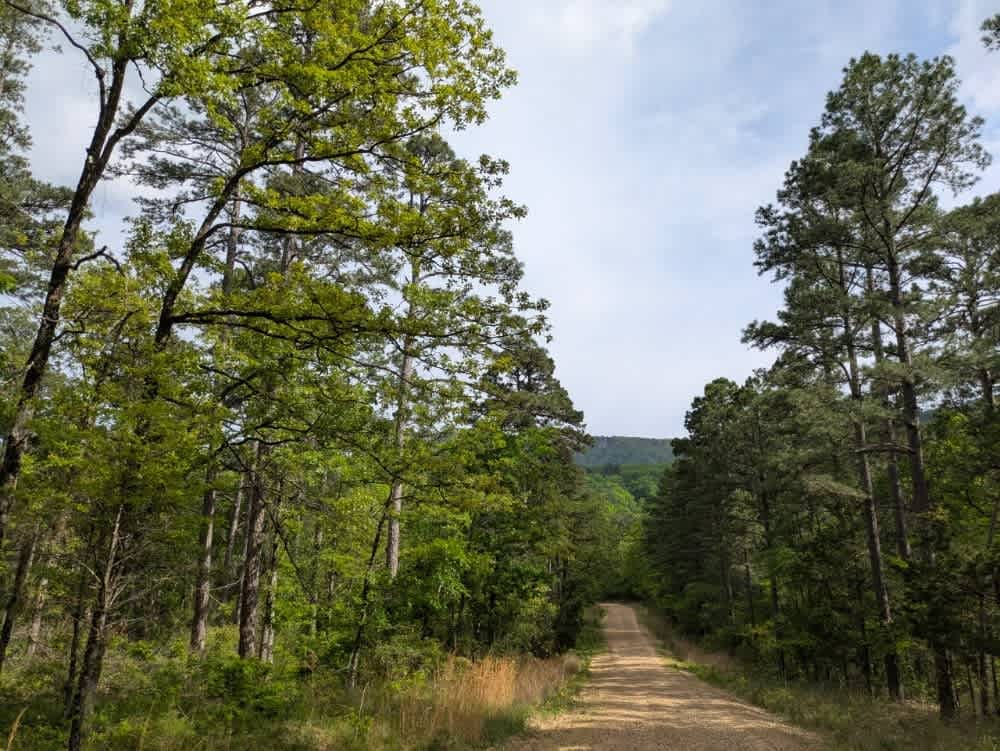
Continuing west from the intersection with Stave Mill Falls (intersection K), this stretch of ATV trail offers a wide, rocky path with scattered loose stones and plenty of overhanging branches to duck under. Big mud puddles appear regularly--some with go-arounds--while the terrain transitions to a downhill slope with ruts and holes. After passing the L intersection, the trail narrows and sidehills across the mountain, bringing tighter corners, exposed roots, and the occasional cut-down log. The highlight of this section is a shelfy rock obstacle between the trees: a layered, technical climb with multiple line choices to navigate a series of 6-inch ledges on a steep slope on the edge of the trail, also lined with roots. You'll go up this obstacle if riding east to west, and down it vice versa. The trail ends at the intersection M.
Photos of Black Oak Ridge Spur South


Difficulty
This is a moderate ATV trail due to one technical rock obstacle made up of 6 inch ledges, but the rest of the trail is easy, fast and flowy.
Status Reports
Black Oak Ridge Spur South can be accessed by the following ride types:
- ATV (50")
- Dirt Bike
Black Oak Ridge Spur South Map
Popular Trails

F3 Flexer
A8 Brandon's Run
E17 Winch Hill
Green Bench Road
The onX Offroad Difference
onX Offroad combines trail photos, descriptions, difficulty ratings, width restrictions, seasonality, and more in a user-friendly interface. Available on all devices, with offline access and full compatibility with CarPlay and Android Auto. Discover what you’re missing today!