Green Bench Road
Total Miles
7.5
Technical Rating
Best Time
Fall, Summer, Spring, Winter
Trail Type
Full-Width Road
Accessible By
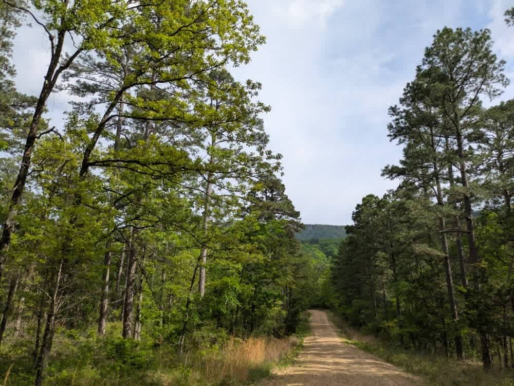
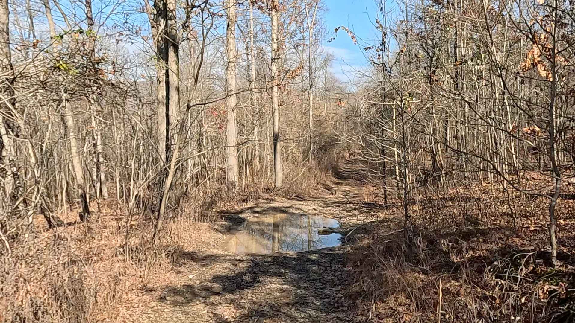
Trail Overview
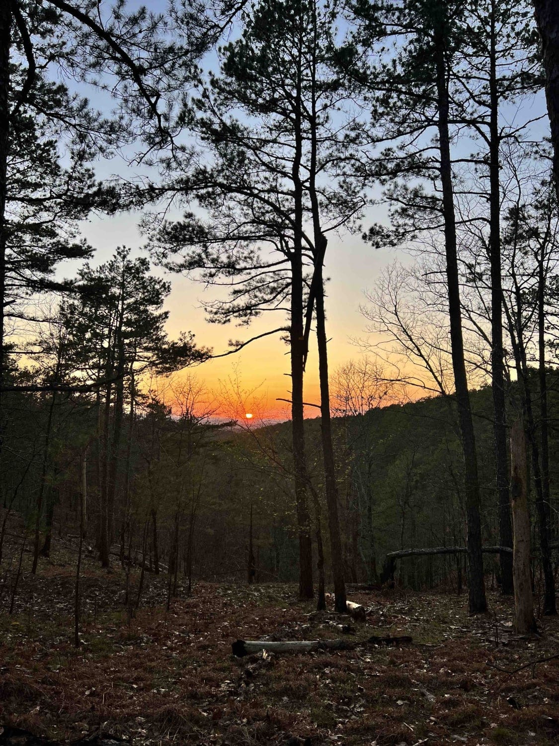
This long, winding trail ascends into the mountains, eventually reaching elevations where the forest transitions almost entirely to shortleaf pine. The road is primarily gravel and generally well maintained, though it narrows in places and becomes rocky and bumpy, with several stream crossings--some dry, others with flowing water in April. Along the route, travelers will pass through large sections of private land, including a notably expansive and organized ranch. Despite this, there are numerous branching trails that may lead to suitable spots for dispersed camping. However, the area lacks basic amenities such as trash disposal and a water supply, and cell reception is limited.
Photos of Green Bench Road

Difficulty
Well-maintained trail without any difficult sections.
History
Mount Magazine State Park, located in Logan County, Arkansas, encompasses 2,234 acres atop Mount Magazine--the state's highest point at 2,753 feet above sea level. This plateau, part of the Ozark-St. Francis National Forest offers dramatic elevation changes and sweeping views of the Arkansas River Valley.
Status Reports
Green Bench Road can be accessed by the following ride types:
- High-Clearance 4x4
- SUV
- SxS (60")
- ATV (50")
- Dirt Bike
Green Bench Road Map
Popular Trails

J8 Dave's Way
Hanging Rock Hollow Spur - FS 94669

G2 Four Fingers
The onX Offroad Difference
onX Offroad combines trail photos, descriptions, difficulty ratings, width restrictions, seasonality, and more in a user-friendly interface. Available on all devices, with offline access and full compatibility with CarPlay and Android Auto. Discover what you’re missing today!