4 trails found in Arkansas
Which "black oak ridge" are you looking for?
We found 4 off-road trails in Arkansas matching your search. Pick the one you're looking for below.
Black Oak Ridge Spur Northwest
This short spur connecting High Mountain Loop to Black Oak Ridge is under a mile, but it has several technical challenges and scenic views. The west end of the trail starts alongside Moccasin Creek, offering a gorgeous view of the strikingly clear blue water, and a creek crossing that's deeper than ...
Learn more about Black Oak Ridge Spur Northwest
Black Oak Ridge Spur South
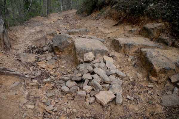
Continuing west from the intersection with Stave Mill Falls (intersection K), this stretch of ATV trail offers a wide, rocky path with scattered loose stones and plenty of overhanging branches to duck under. Big mud puddles appear regularly--some with go-arounds--while the terrain transitions to a d...
Learn more about Black Oak Ridge Spur South

Black Oak Ridge Loop
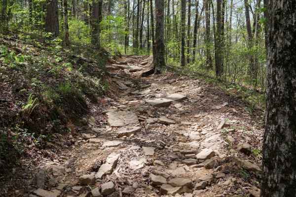
This ATV loop in the Ozark National Forest is easy and scenic, but full of small features to keep the average rider on their toes. The southwest end of the trail starts at intersection N, and it descends through the forest through intersections S, Q, and P, until it ascends to the intersection L. T...
Learn more about Black Oak Ridge Loop
Black Oak Ridge
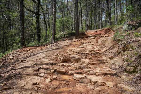
This ATV loop in the Ozark National Forest winds through a mix of hickories, sugar maples, and oaks, often with mud puddles spanning the width of the trail, and low branches to watch out for. There are lots of loose rocks and the occasional downed log. Riding counter-clockwise from intersection M th...
Learn more about Black Oak Ridge