Black Oak Ridge Loop
Total Miles
3.6
Technical Rating
Best Time
Spring, Summer, Fall, Winter
Trail Type
50" Trail
Accessible By
Trail Overview
This ATV loop in the Ozark National Forest is easy and scenic, but full of small features to keep the average rider on their toes. The southwest end of the trail starts at intersection N, and it descends through the forest through intersections S, Q, and P, until it ascends to the intersection L. The trail features consistent mud puddles--mostly shallow, though a few can surprise you--along with low branches, roots, and small logs to navigate. Dirt bikes can often skirt the edges of the mud, but the puddles are often unavoidable, so expect wet boots by the end of the day. The trail also features curvy lines through the trees, some side-hilling, and rocky downhill sections with loose pieces of rock and ruts. One of the scenic highlights is riding above the hollows and small cliffs, and a chance to spot birds like owls. With clearly marked intersections and a good balance of easy riding and technical features, this loop keeps things fun and engaging without being overly demanding.
Photos of Black Oak Ridge Loop


Difficulty
This trail is easy for the average rider, but does have small features such as downed logs, ruts, curves, mud, and loose rock, but no major obstacles.
Status Reports
Black Oak Ridge Loop can be accessed by the following ride types:
- ATV (50")
- Dirt Bike
Black Oak Ridge Loop Map
Popular Trails
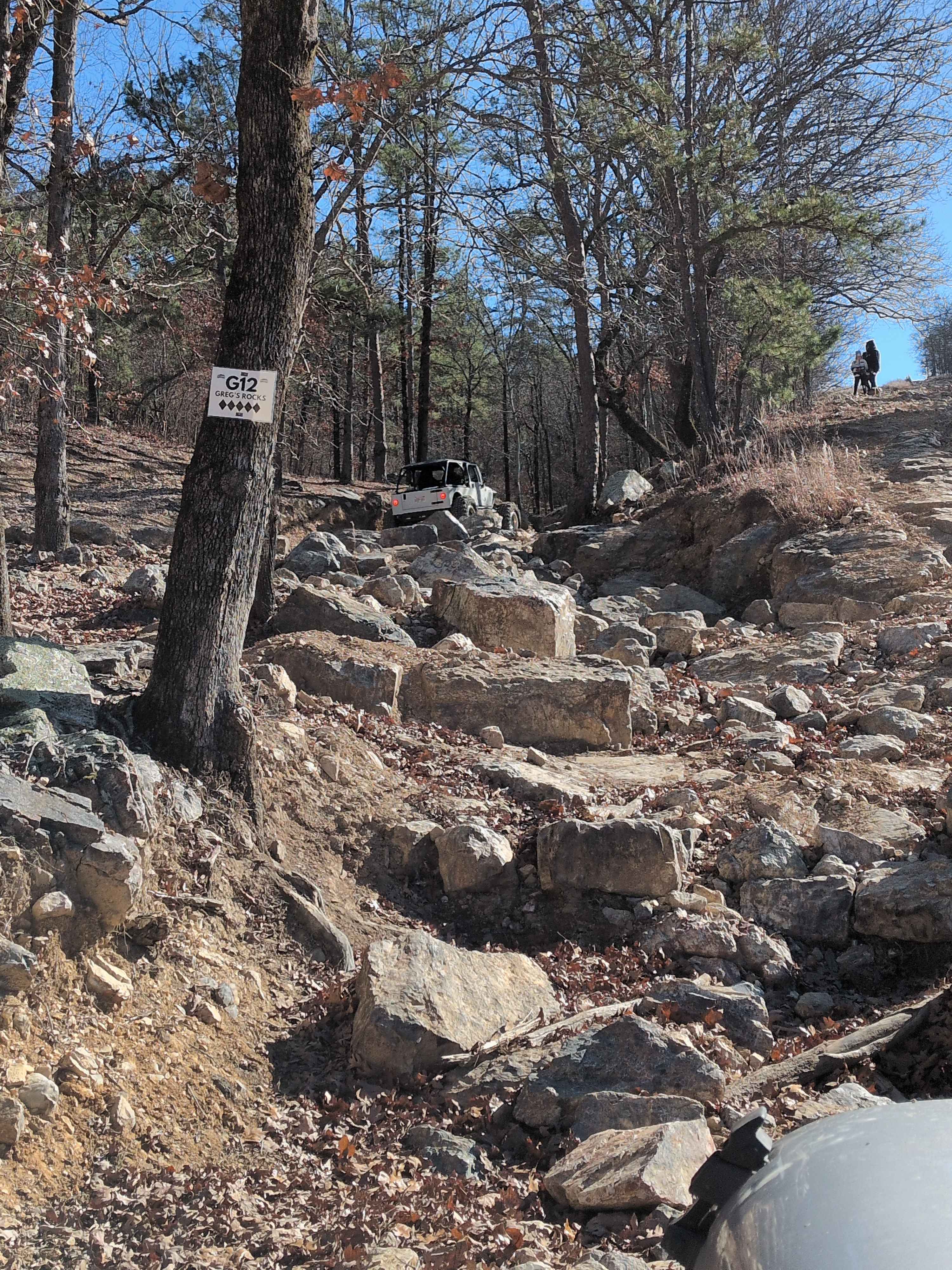
G12 Greg's Rock
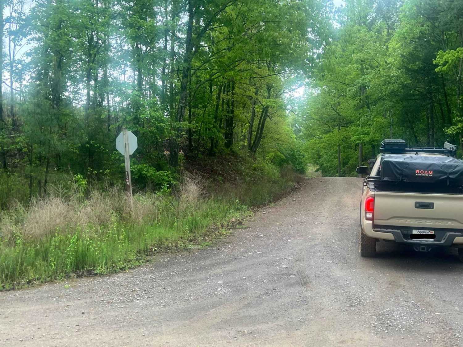
West Forked Mountain FR124
Fox Pen West
The onX Offroad Difference
onX Offroad combines trail photos, descriptions, difficulty ratings, width restrictions, seasonality, and more in a user-friendly interface. Available on all devices, with offline access and full compatibility with CarPlay and Android Auto. Discover what you’re missing today!