Bois d'Ark Arkansas Spillway & Dam
Total Miles
2.2
Technical Rating
Best Time
Spring, Summer, Fall, Winter
Trail Type
Full-Width Road
Accessible By
Trail Overview
This 13,626-acre area is composed of 5,866 acres of state-owned land and 7,760 acres leased from International Paper and Potlatch timber companies.The primary objective of this management area is to provide high-quality wildlife habitat and public hunting opportunities. Bois d'Arc Lake provides excellent fishing and bird-watching opportunities.The area consists primarily of bottomland hardwood habitats. This includes a 660-acre Greentree waterfowl area. Little Grassy Duck Area is a 150-acre moist-soil management unit.Bois d' Arc Lake and the associated creeks and sloughs are also home to the American Alligator. Caution should be used at all times, especially during warm weather, and swimming is not allowed. The lake also has numerous stumps and logs which require slow boat operations.Primitive campsites are available around the lake and on the west side of the WMA.
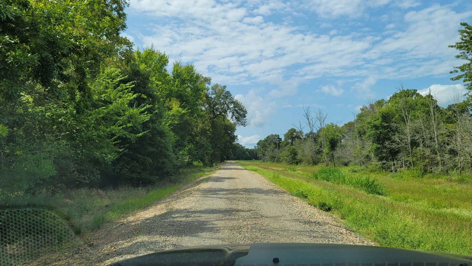
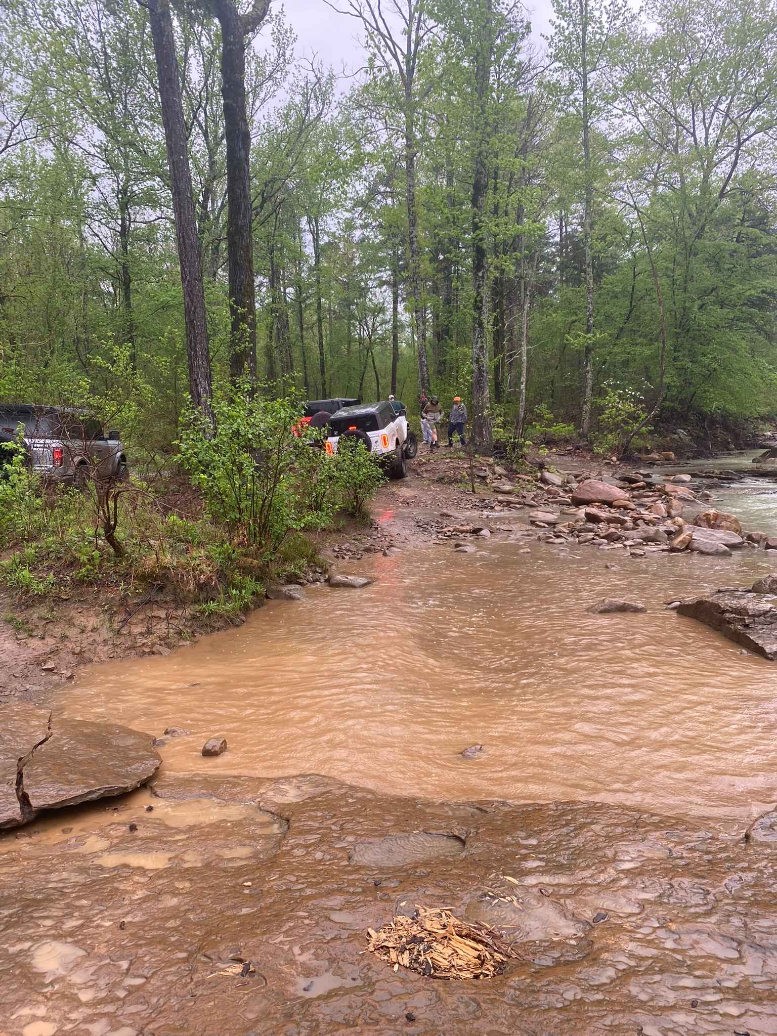
Photos of Bois d'Ark Arkansas Spillway & Dam

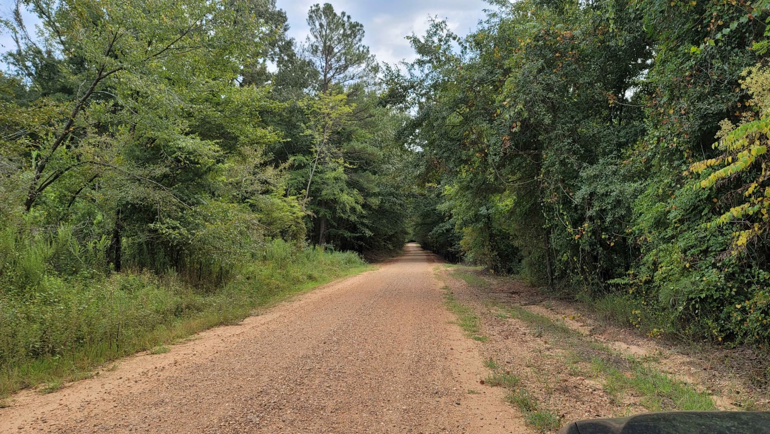
Difficulty
Gravel roads that two wheel drive can do. Can be sloppy when wet.
Status Reports
Bois d'Ark Arkansas Spillway & Dam can be accessed by the following ride types:
- High-Clearance 4x4
- SUV
Bois d'Ark Arkansas Spillway & Dam Map
Popular Trails

H13 Rock & A Hard Spot
Tower Ends at Private Fishing Club
Huckleberry Mountain Orange - FS 2612

The onX Offroad Difference
onX Offroad combines trail photos, descriptions, difficulty ratings, width restrictions, seasonality, and more in a user-friendly interface. Available on all devices, with offline access and full compatibility with CarPlay and Android Auto. Discover what you’re missing today!