West Boundary
Total Miles
5.1
Technical Rating
Best Time
Spring, Summer, Fall, Winter
Trail Type
High-Clearance 4x4 Trail
Accessible By
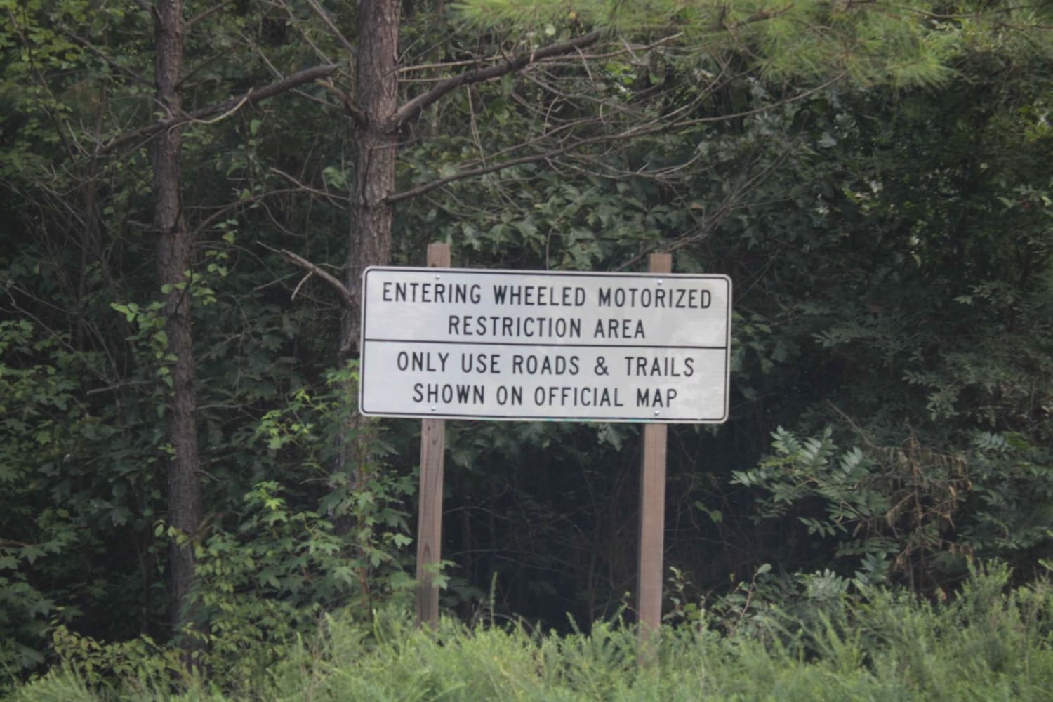
Trail Overview
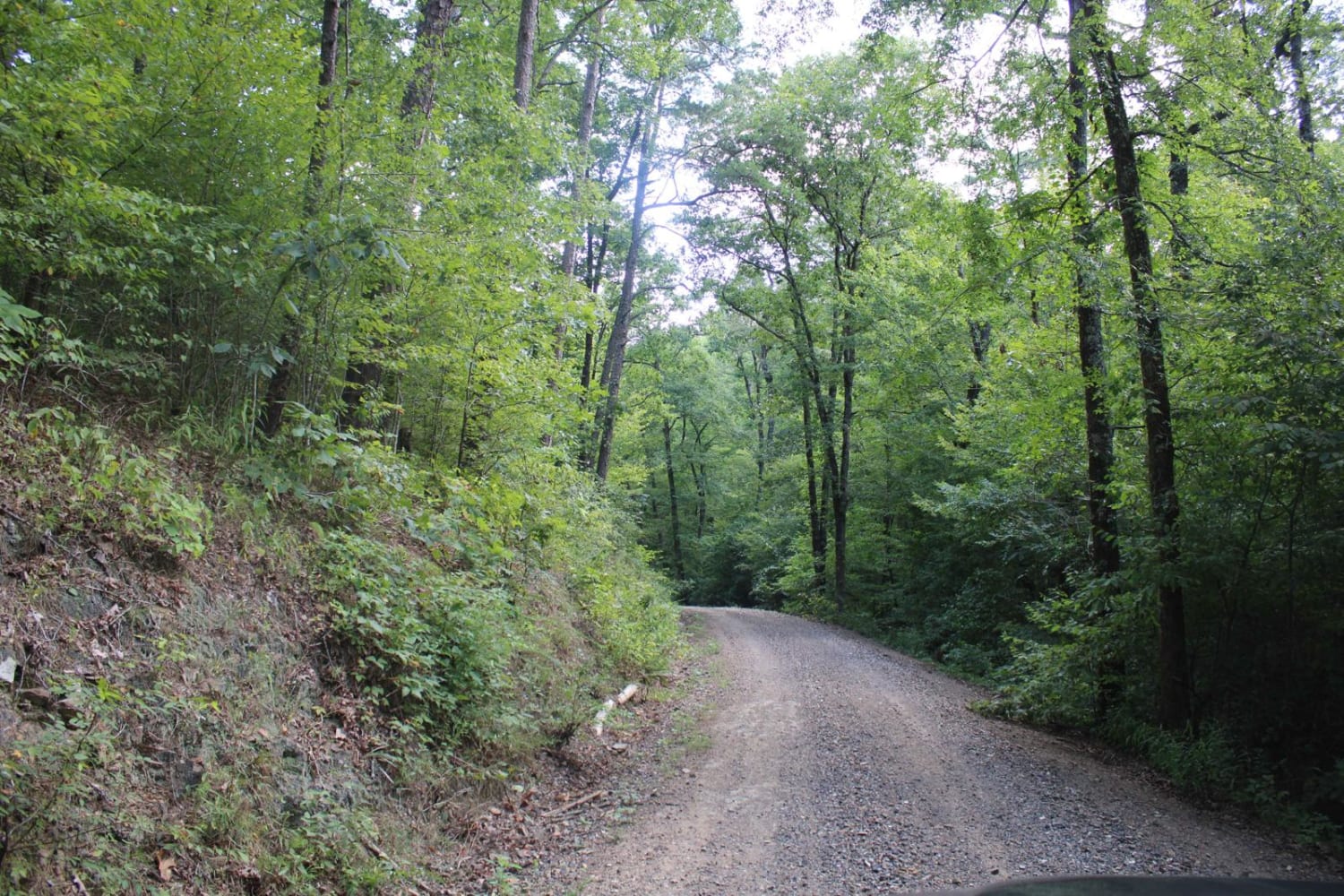
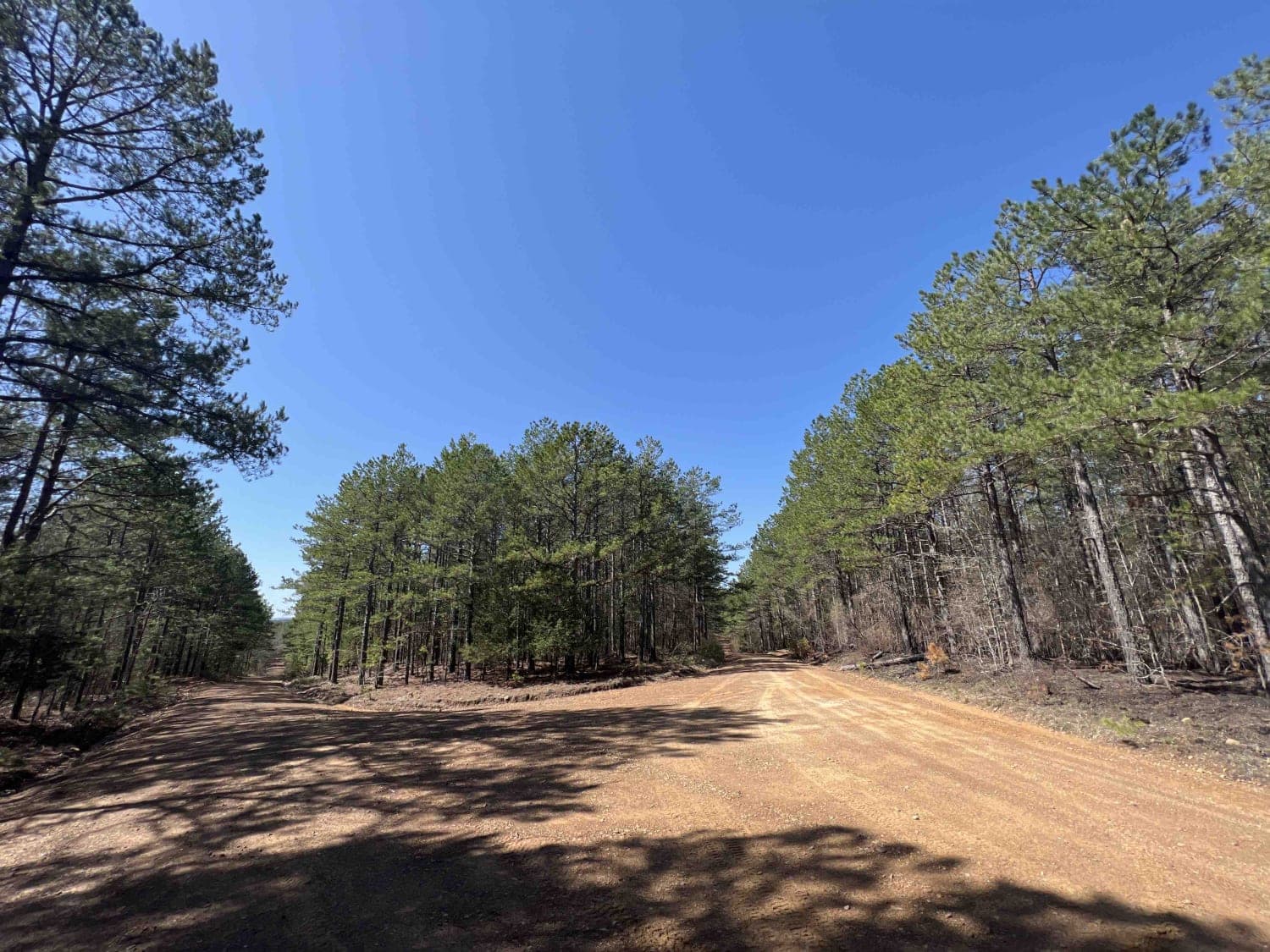
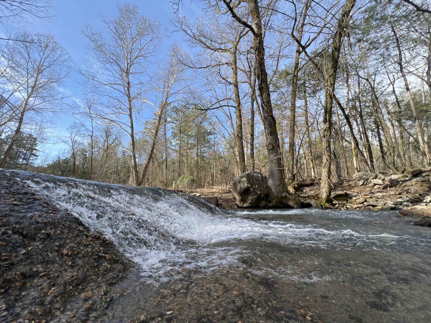
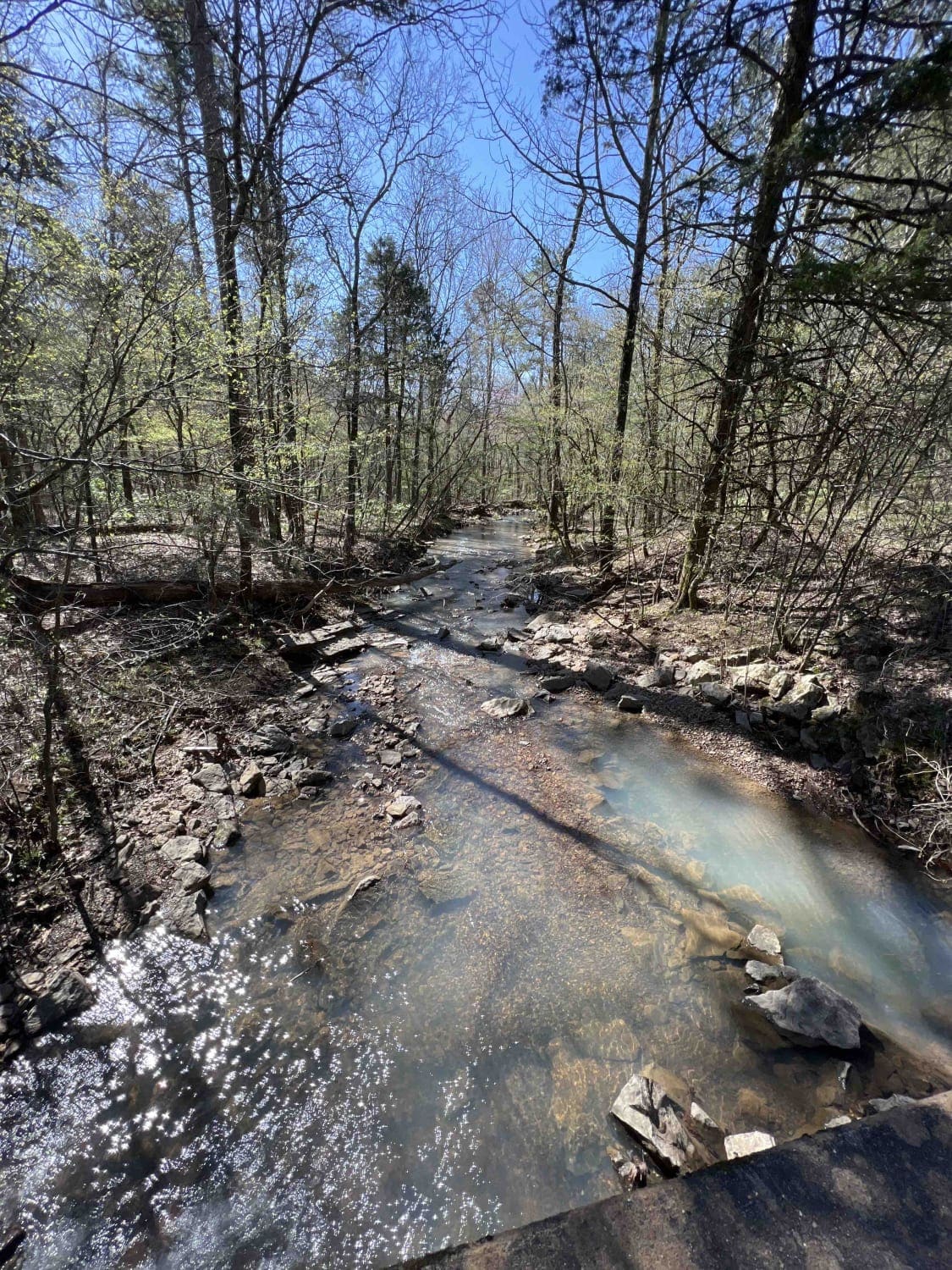
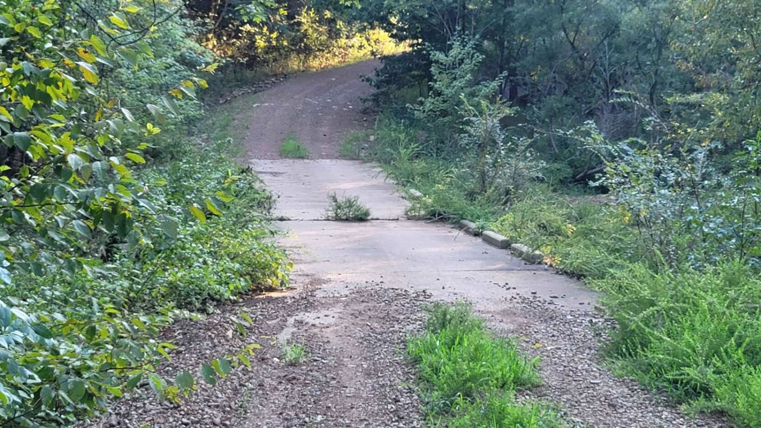
This is a maintained gravel forest road. There can be mud when wet. This road is very dusty when dry. You access this road from HWY 246. Expect beautiful views and wildlife to be seen along this trail in the Ouachita National Forest. Dispersed camping and streams are in this area. Lots to discover and explore can be had here.
Photos of West Boundary
Difficulty
Maintained gravel road. Nice grade and room to pass.
Status Reports
West Boundary can be accessed by the following ride types:
- High-Clearance 4x4
West Boundary Map
Popular Trails
Chula Mountain 4128
Barnhart Road 796
Cheyenne Road
Cumberland Road
The onX Offroad Difference
onX Offroad combines trail photos, descriptions, difficulty ratings, width restrictions, seasonality, and more in a user-friendly interface. Available on all devices, with offline access and full compatibility with CarPlay and Android Auto. Discover what you’re missing today!