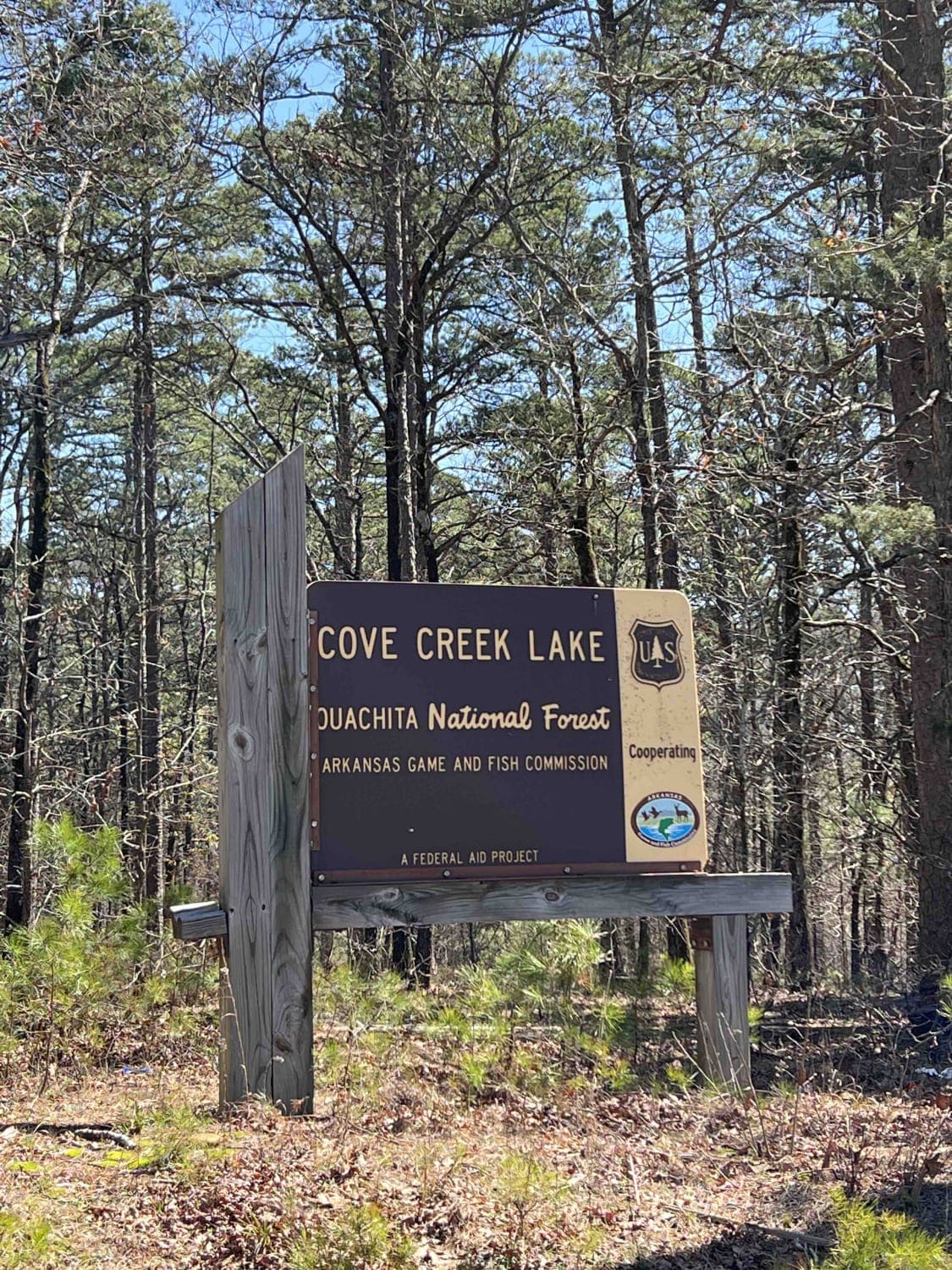
Cove Creek Lake/Link Mountain Road 210
Total Miles
4.6
Technical Rating
Best Time
Spring, Summer, Fall, Winter
Trail Type
High-Clearance 4x4 Trail
Accessible By
Trail Overview
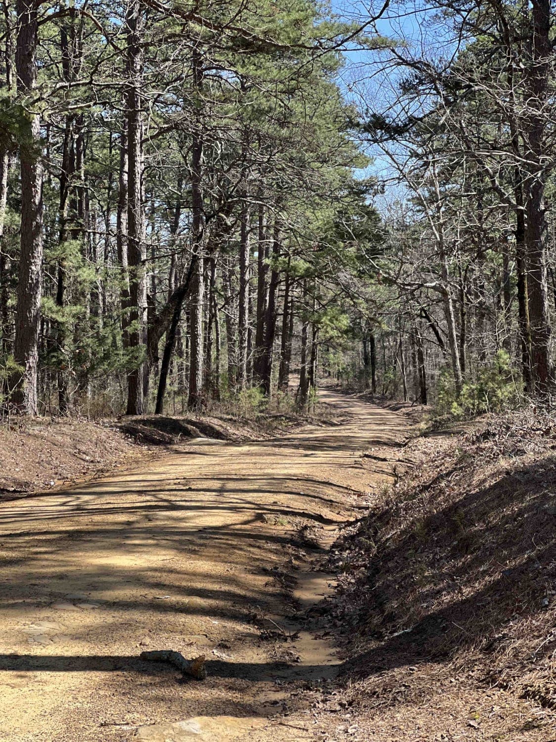
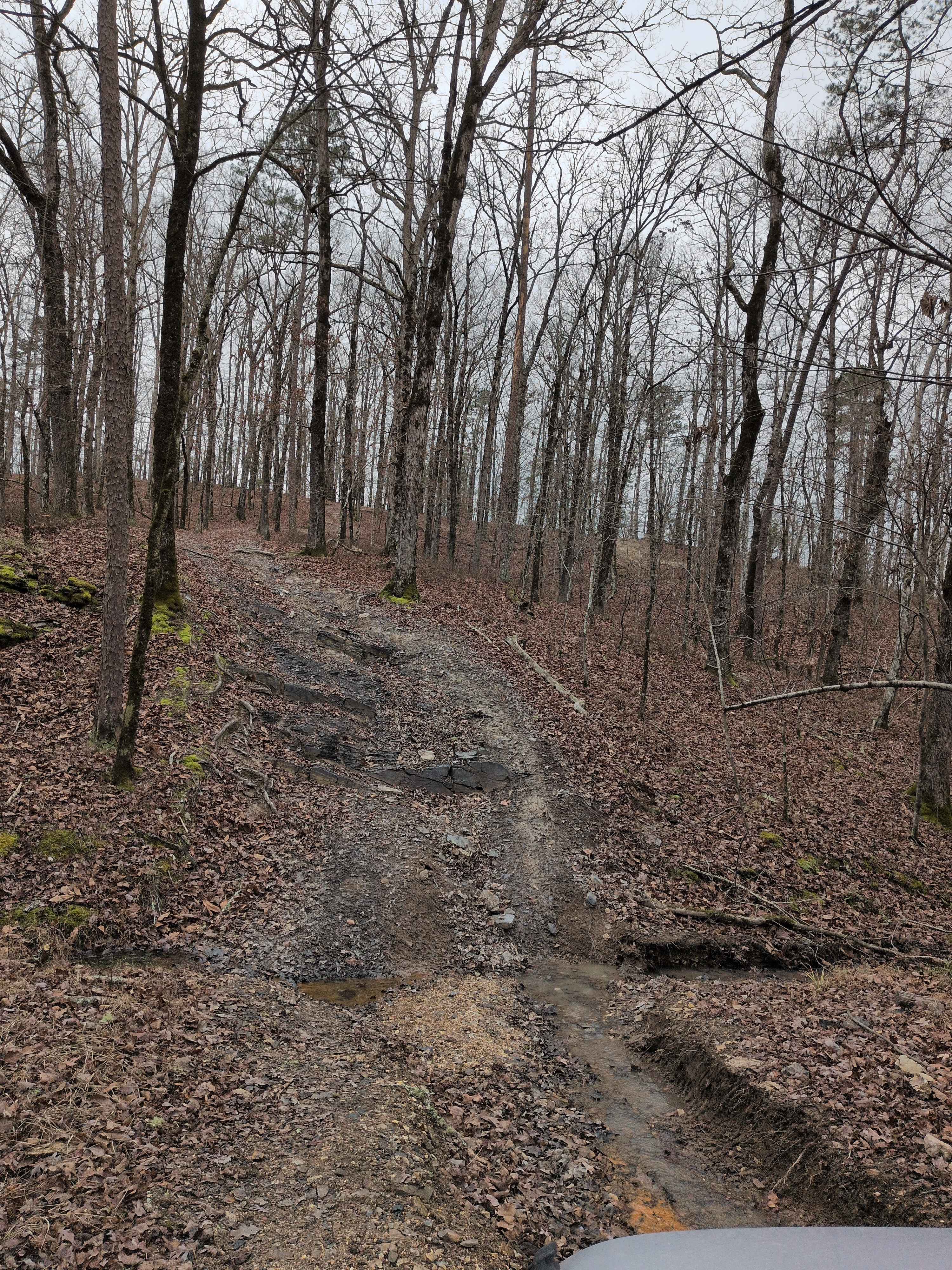
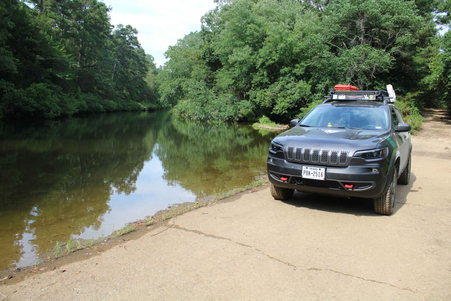
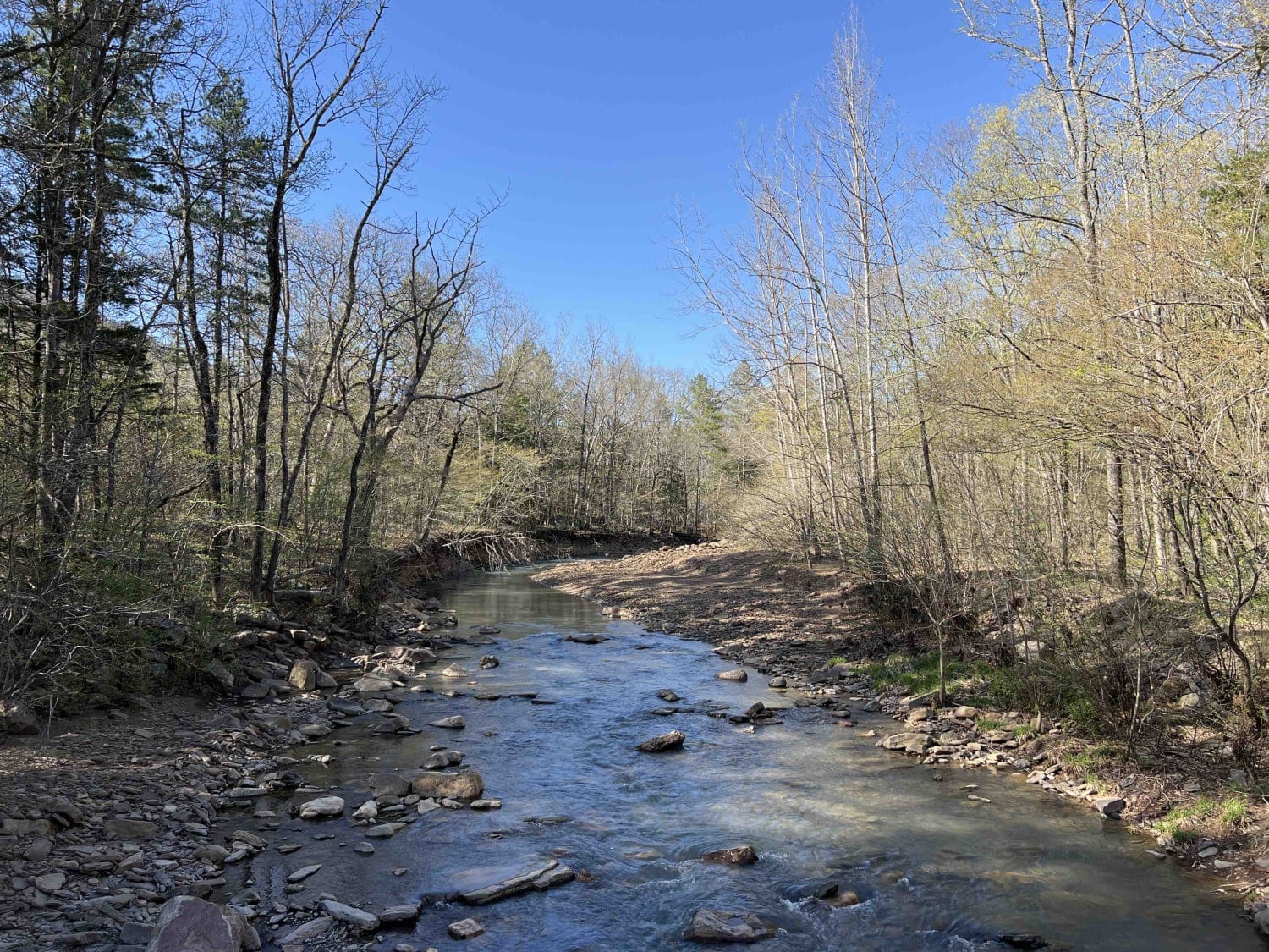
This is an uneven, rocky, muddy road with several washouts and deep water areas when it's raining. This road may be impassable during heavy rains. Three campsites along this road are pretty nice. There is also a 4x4 trail that starts right after you cross the dam. There is a boat launch area at the end but bringing any kind of trailer down the road is not advised. There are no restrooms or facilities at this location. The lake is man-made with a dam. There's no cell phone service along this road.
Photos of Cove Creek Lake/Link Mountain Road 210
Difficulty
You'll come across very uneven, washed-out, and steep sections and large rocks. These narrow trails are not passable by more than one vehicle at a time.
History
Please follow this link for some history on the Ouachita National Forest: http://npshistory.com/publications/usfs/handbooks/ouachita.pdf
Status Reports
Cove Creek Lake/Link Mountain Road 210 can be accessed by the following ride types:
- High-Clearance 4x4
- SxS (60")
- ATV (50")
Cove Creek Lake/Link Mountain Road 210 Map
Popular Trails

North Fork to Gladstone
The onX Offroad Difference
onX Offroad combines trail photos, descriptions, difficulty ratings, width restrictions, seasonality, and more in a user-friendly interface. Available on all devices, with offline access and full compatibility with CarPlay and Android Auto. Discover what you’re missing today!