Angling Pinnacle 2
Total Miles
10.6
Technical Rating
Best Time
Spring, Fall, Winter
Trail Type
High-Clearance 4x4 Trail
Accessible By
Trail Overview
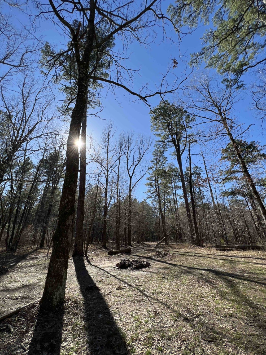
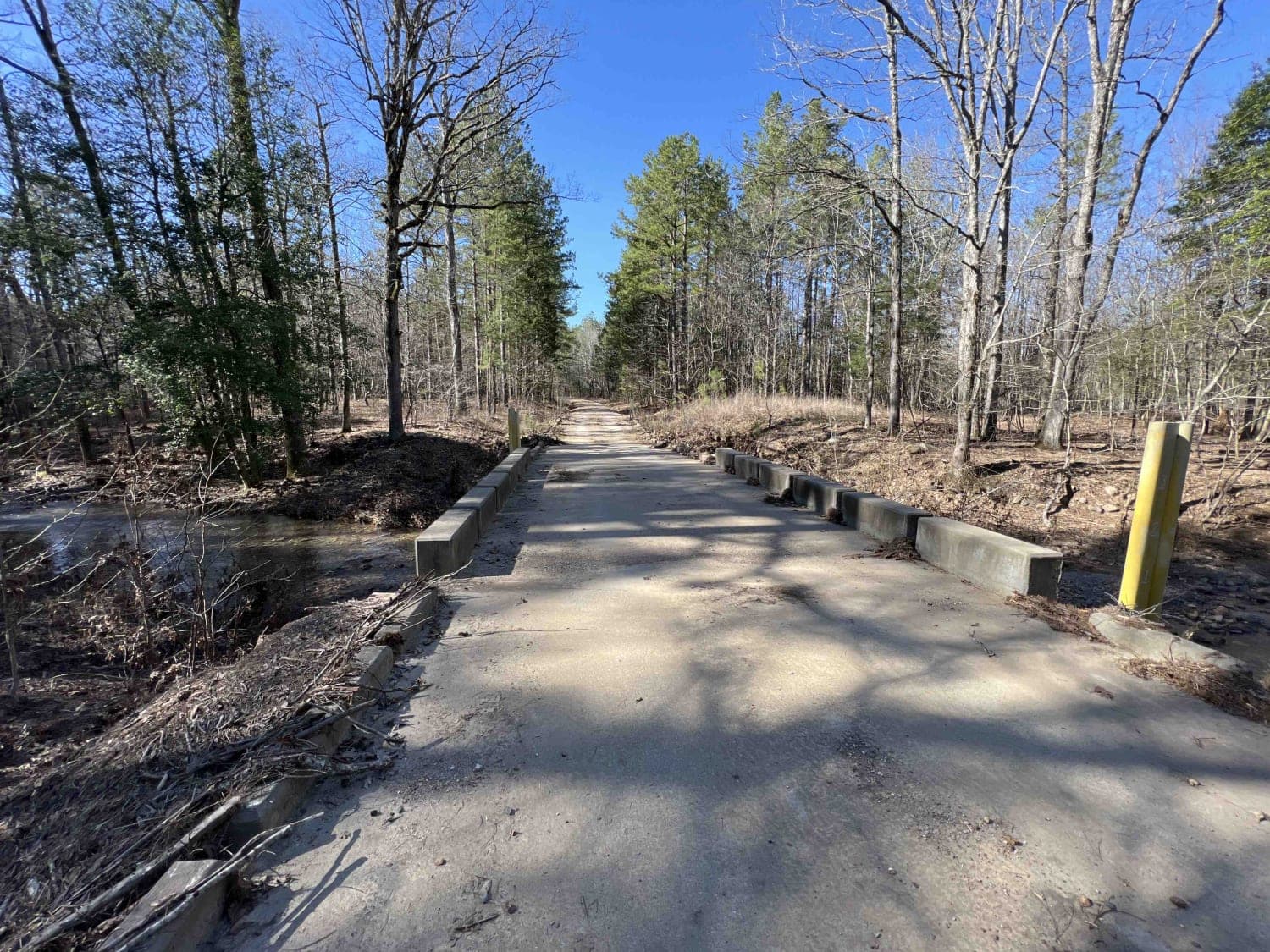
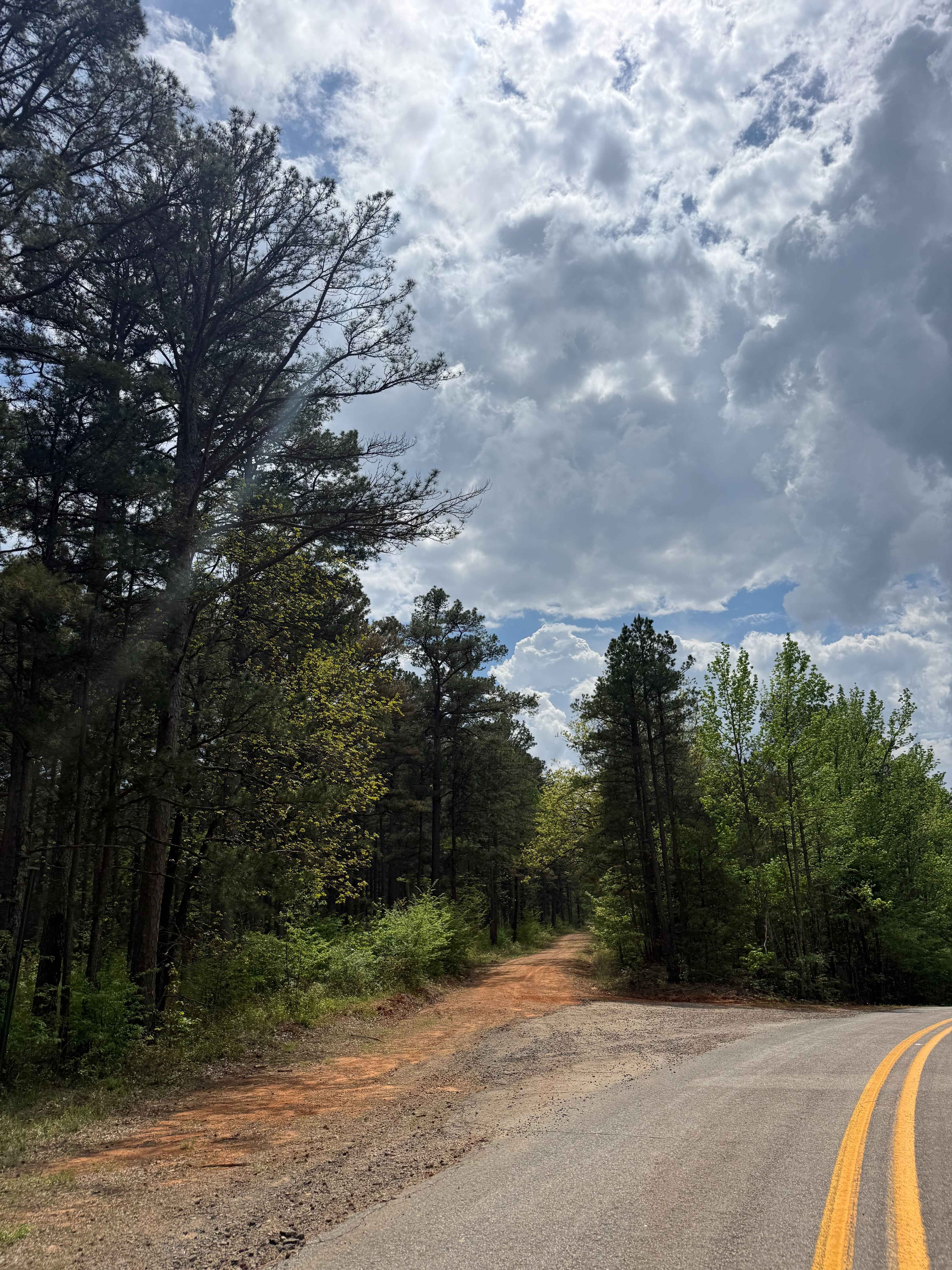
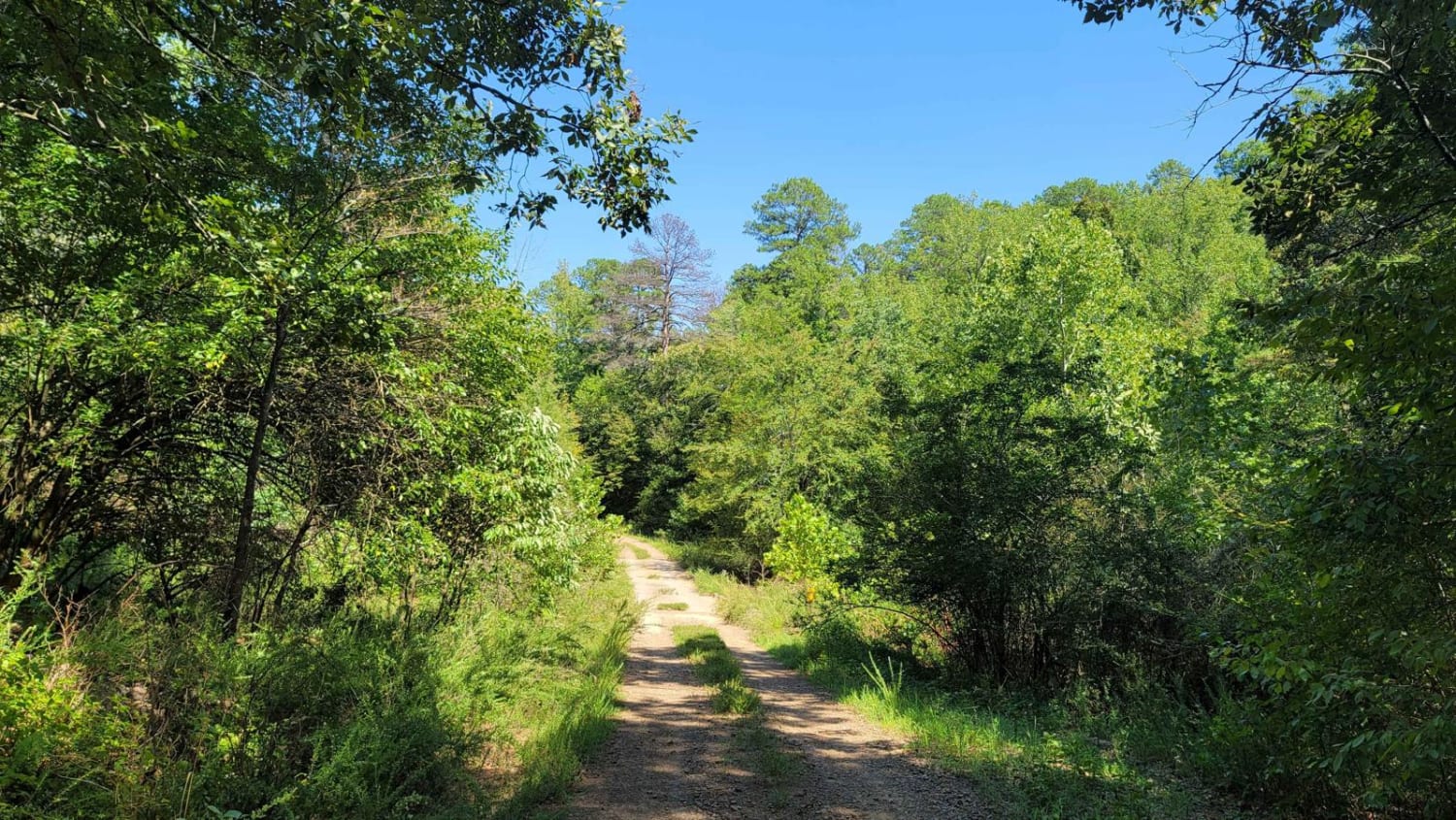
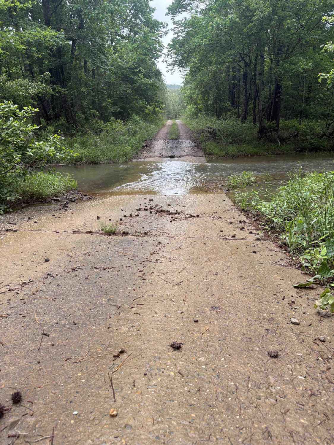
This is by far the ultimate fun 4x4 road. Starting from the east there is a pretty big campsite next to a creek which could be good for fishing. Continuing down the road there are several water crossings and creeks which at times may flow over the roads. This road is mostly gravel and clay-like mud. There are very steep climbs, descents, rocks, boulders, and washed-out roads which require a high-clearance vehicle to maneuver through the washouts. If you start from the west side of the trail there is an area where you can collect plenty of firewood. Lots to see along this route, scenic views of the entire mountains, birds, deer, and even skunks. The Ouachita Recreation Trail- Hunts Loop is very close so using this area to camp in beforehand would be a great midpoint. Caution though as this area is known for Cottonmouth and Rattlesnakes. Cottonmouths usually hang out by the creeks and the rattlesnakes are near rocks. I have yet to see either but my dog did get bit by a cottonmouth while she was near a creek. There are over 60 different plant species in this forest so bring your guide so you can see how many you can spot along this road.
Photos of Angling Pinnacle 2
Difficulty
There are very steep climbs, descents, rocks, boulders, and washed-out roads which require a high-clearance vehicle to maneuver through the washouts. Coming from the west side, there is a very long steep hill climb at about 1.5 miles; after that, there are washed-out sections, creek crossings, and boulders.
History
Please follow this link to an interesting article on the Ouachita National Forest: http://npshistory.com/publications/usfs/handbooks/ouachita.pdf
Status Reports
Angling Pinnacle 2 can be accessed by the following ride types:
- High-Clearance 4x4
- SxS (60")
- ATV (50")
- Dirt Bike
Angling Pinnacle 2 Map
Popular Trails
Shores Lake Dam Loop
Wildcat Hollow

F2 Pond Road
The onX Offroad Difference
onX Offroad combines trail photos, descriptions, difficulty ratings, width restrictions, seasonality, and more in a user-friendly interface. Available on all devices, with offline access and full compatibility with CarPlay and Android Auto. Discover what you’re missing today!