Wildcat Hollow
Total Miles
8.3
Technical Rating
Best Time
Spring, Summer, Fall, Winter
Trail Type
Full-Width Road
Accessible By
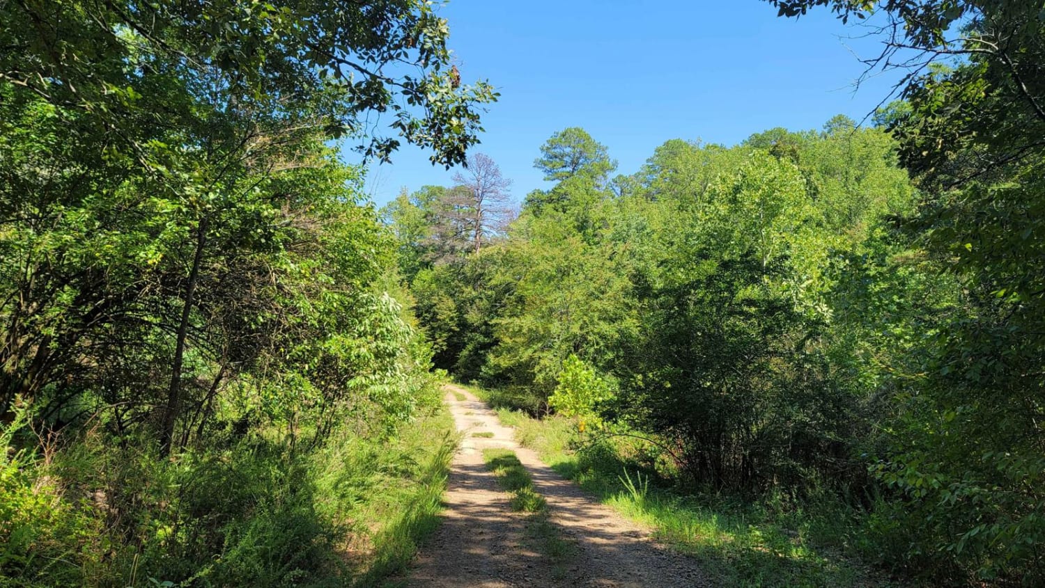
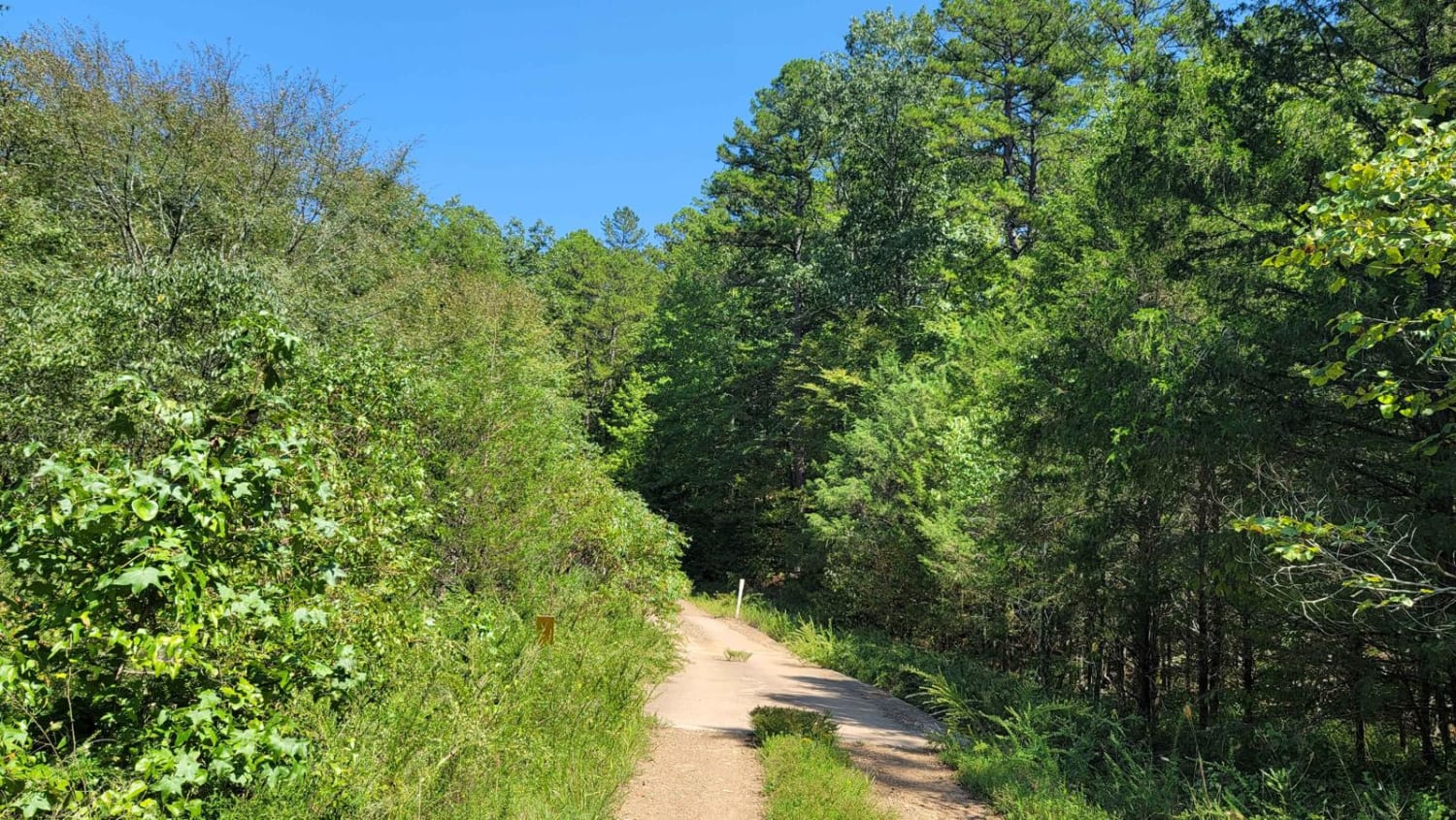
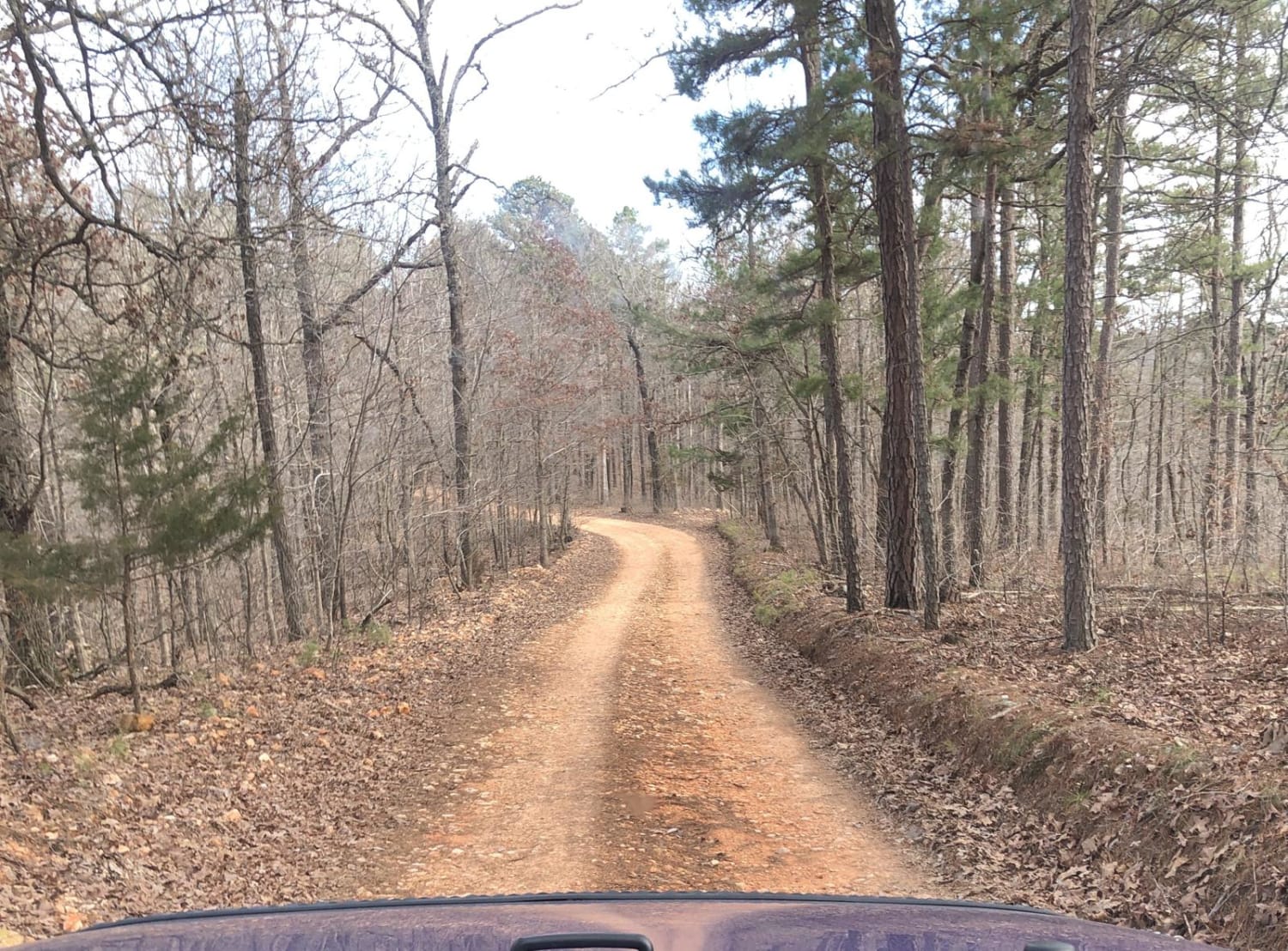
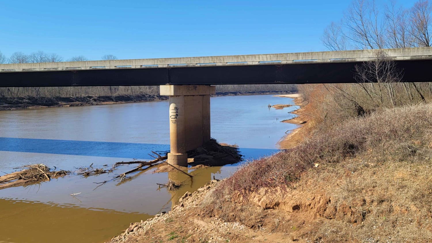
Trail Overview
Running along the north boundary of a section of Ouachita National Forest, south of Highway 28, this gravel road is maintained and contains beautiful scenery. There can be mud during and after rain with a chance of water crossings. This road is dusty when dry. Loose gravel and dirt make up this road. There is a bridge crossing on this track. This track will end at Bluff Road.
Photos of Wildcat Hollow
Difficulty
Maintained gravel road. most vehicles can travel this road.
Status Reports
Wildcat Hollow can be accessed by the following ride types:
- High-Clearance 4x4
- SUV
- Dirt Bike
Wildcat Hollow Map
Popular Trails
Beach Grove Trail

Follow the Red River
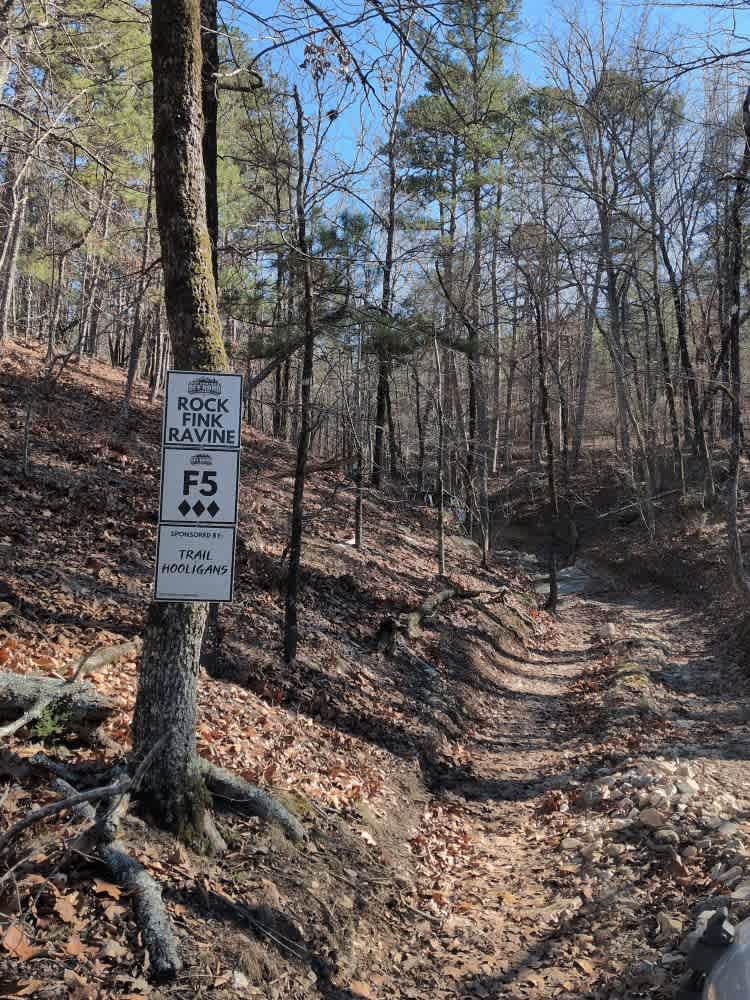
F5 Rock Fink Ravine
The onX Offroad Difference
onX Offroad combines trail photos, descriptions, difficulty ratings, width restrictions, seasonality, and more in a user-friendly interface. Available on all devices, with offline access and full compatibility with CarPlay and Android Auto. Discover what you’re missing today!