Follow the Red River
Total Miles
30.4
Technical Rating
Best Time
Spring, Summer, Fall, Winter
Trail Type
Full-Width Road
Accessible By
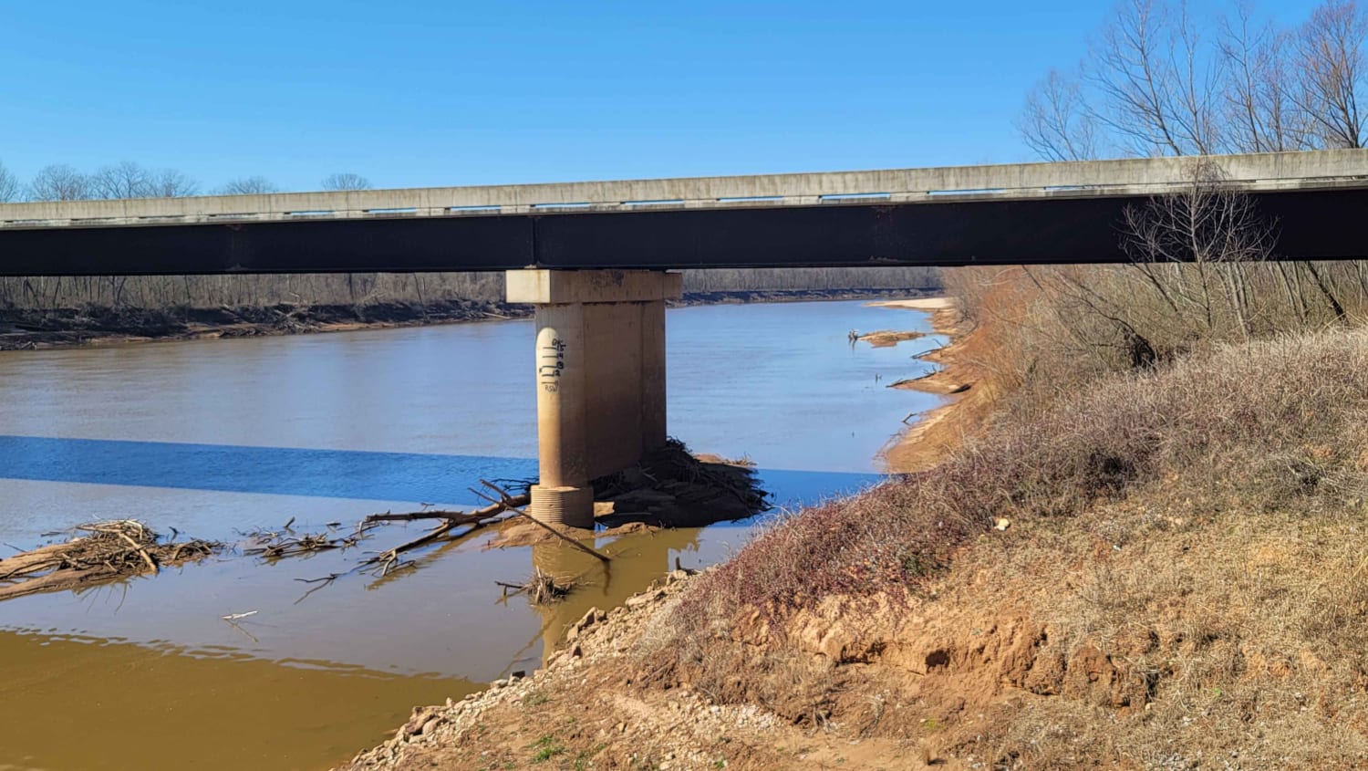
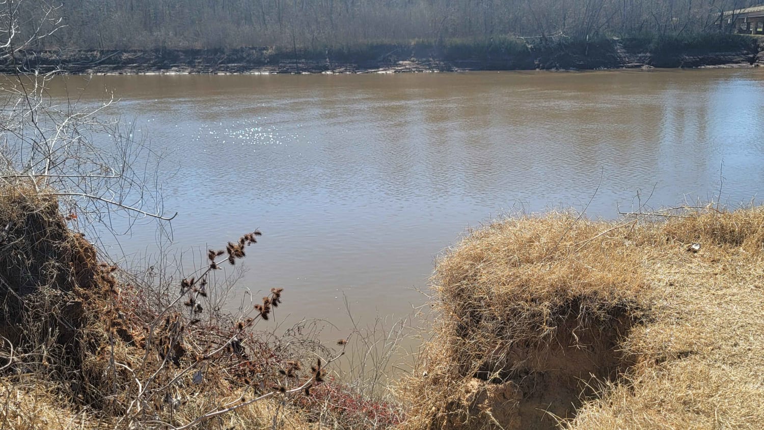
Trail Overview
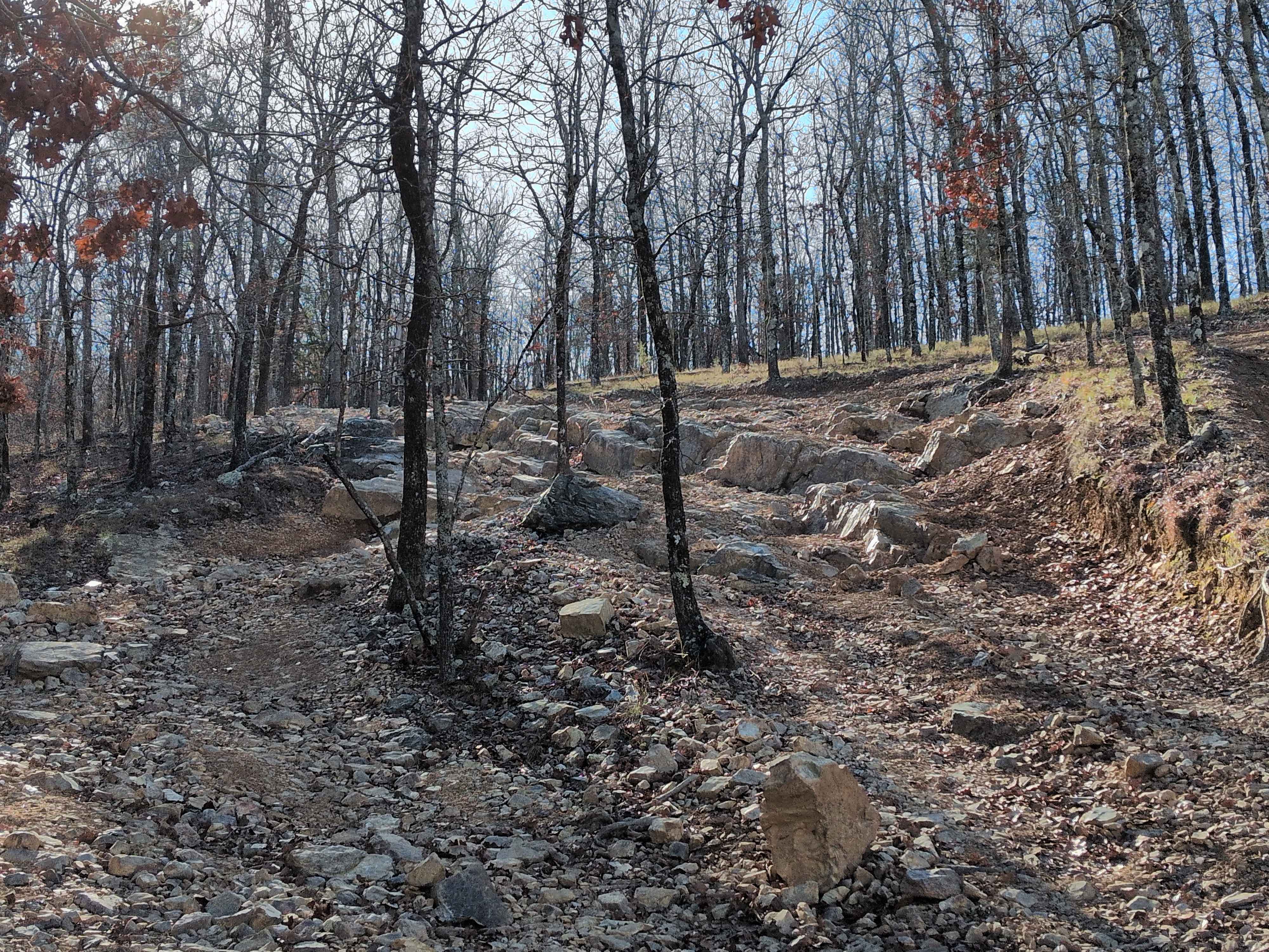
This 30-mile route follows along the Northside of the Red River. This East to West route is almost completely gravel roads. The roads are maintained but can be nasty after or during rains. Although you may not see a lot of the river, you will see lots of pasture land with livestock, creeks with bridge crossings, and lots of nature if you are looking. This route ends at a boat ramp on the red river, off HWY 41. Under the bridge to the west is a trail that takes you along the river if you have the right vehicle. Park and walk for a good stretch.
Photos of Follow the Red River
Difficulty
Maintained gravel roads that can be nasty during or after rains. Lots of dust if dry.
Status Reports
Follow the Red River can be accessed by the following ride types:
- High-Clearance 4x4
- SUV
- Dirt Bike
Follow the Red River Map
Popular Trails
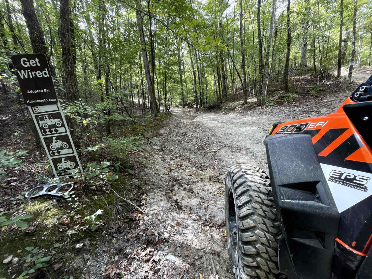
K5 Get Wired

Gillham Lake Road
G4 Don's 101
The onX Offroad Difference
onX Offroad combines trail photos, descriptions, difficulty ratings, width restrictions, seasonality, and more in a user-friendly interface. Available on all devices, with offline access and full compatibility with CarPlay and Android Auto. Discover what you’re missing today!