County Roads to Sour Springs
Total Miles
7.2
Technical Rating
Best Time
Spring, Summer, Fall, Winter
Trail Type
Full-Width Road
Accessible By
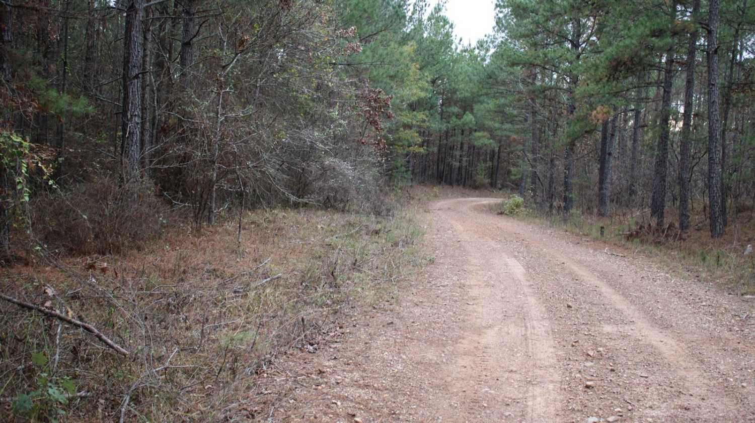
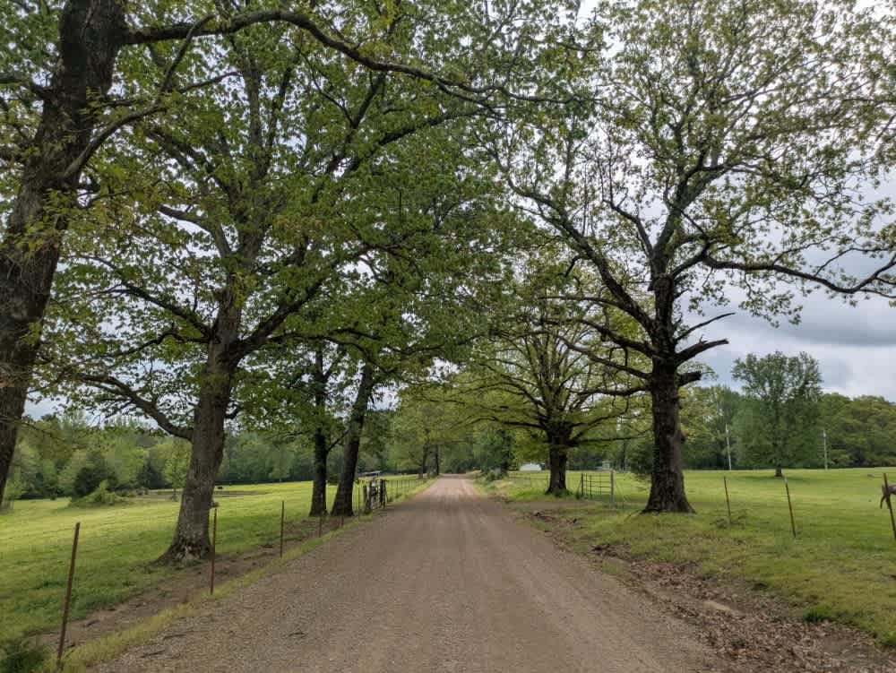
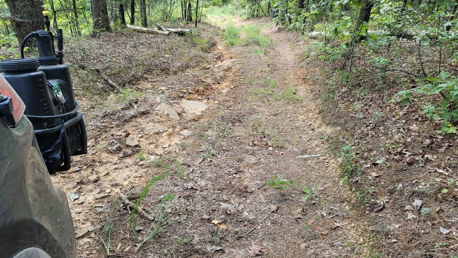
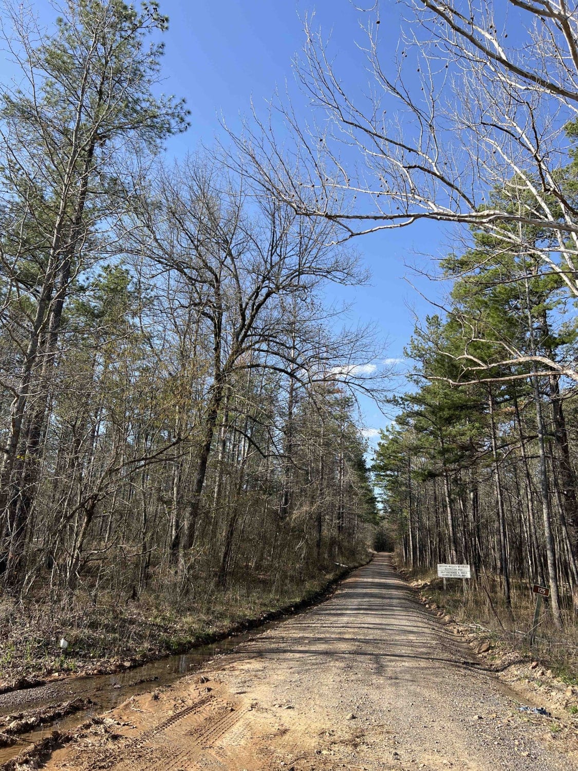
Trail Overview
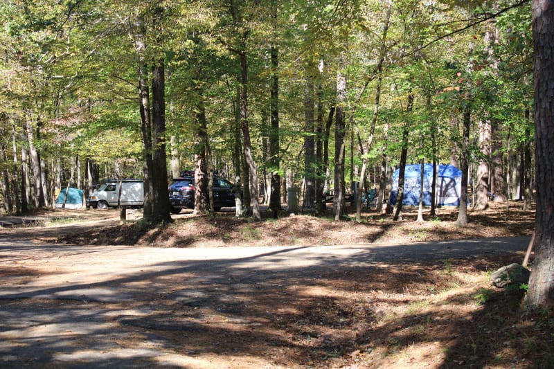
Lake Greeson WMA is a leased land WMA, meaning hunters, trappers and campers 16 years of age or older must purchase a Lake Greeson WMA leased lands permit (LLG) along with a free annual General Use Permit (WMP). Permits are available online https://www.agfc.com/wma/lake-greeson-wma/ , by clicking "Buy Licenses" at agfc.com or by calling 833-345-0325 or any regional office. This road can be very muddy after rains and dusty when dry. Beautiful scenery and a few bridged creek/water crossings make this a great drive. The roads are very easy to travel while dry. Some rutted areas exist, so some ground clearance is needed. Keep your eye open for wildlife. Gates may be opened or closed see the website posted above. Camping is permitted in the area at designated campsites and in three Corps of Engineers campgrounds on the lakeshore. Typical Athens Piedmont Plateau, rolling hills intensively managed for pine production and pine/hardwood mixed composition along creeks. Portions of the area served as a refuge during the early 60s and the area now provides approximately 38,000 acres for public recreation.
Photos of County Roads to Sour Springs

Difficulty
This trail is very dusty while dry and muddy when wet. There are some rutted sections that require a decent ground clearance.
Status Reports
County Roads to Sour Springs can be accessed by the following ride types:
- High-Clearance 4x4
- SUV
County Roads to Sour Springs Map
Popular Trails
Spring Lake Road
Wash Out Hill
Cedar Cabin 125
Shady Lake to Crooked Creek Falls
The onX Offroad Difference
onX Offroad combines trail photos, descriptions, difficulty ratings, width restrictions, seasonality, and more in a user-friendly interface. Available on all devices, with offline access and full compatibility with CarPlay and Android Auto. Discover what you’re missing today!