Compass Canyon F41
Total Miles
0.5
Technical Rating
Best Time
Spring, Summer, Fall
Trail Type
Full-Width Road
Accessible By
Trail Overview
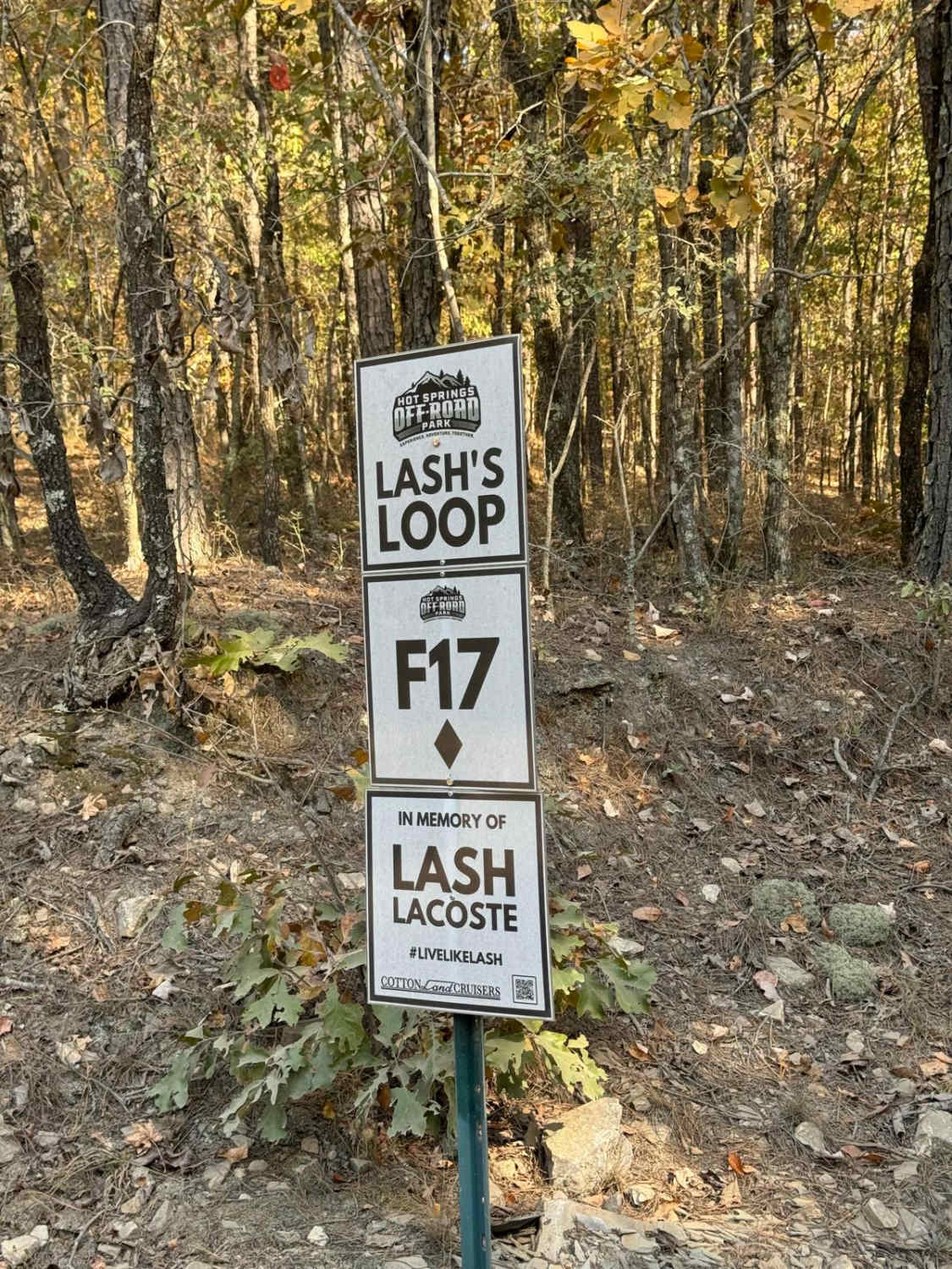
This trail provides a fairly easy connection between the east and west sides of the park. It is one vehicle wide with plenty of places to pass since it is two-way traffic. On its eastern end it connects to AR Highway 5 trail and the western end connects to Lash's Loop F17 near the intersection with AR Highway 1.
Photos of Compass Canyon F41

Difficulty
The trail is mostly smaller rocks and dirt with lots of trees close to the trail. It is a two-way trail so oncoming traffic is to be expected.
Status Reports
Compass Canyon F41 can be accessed by the following ride types:
- High-Clearance 4x4
- SUV
- SxS (60")
- ATV (50")
- Dirt Bike
Compass Canyon F41 Map
Popular Trails
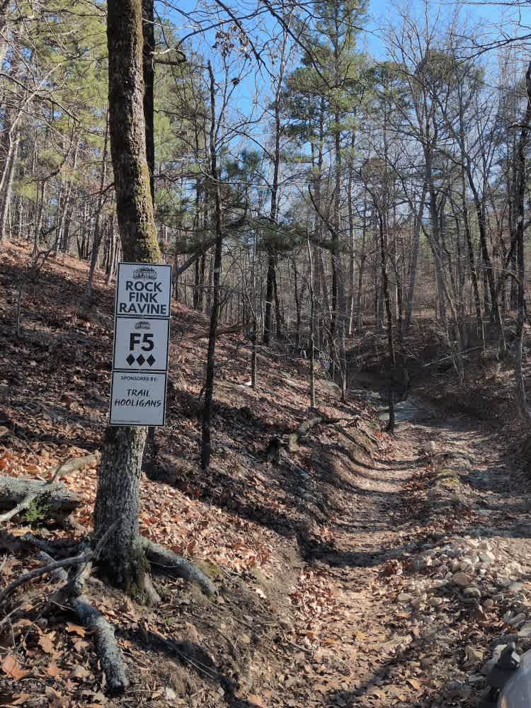
F5 Rock Fink Ravine
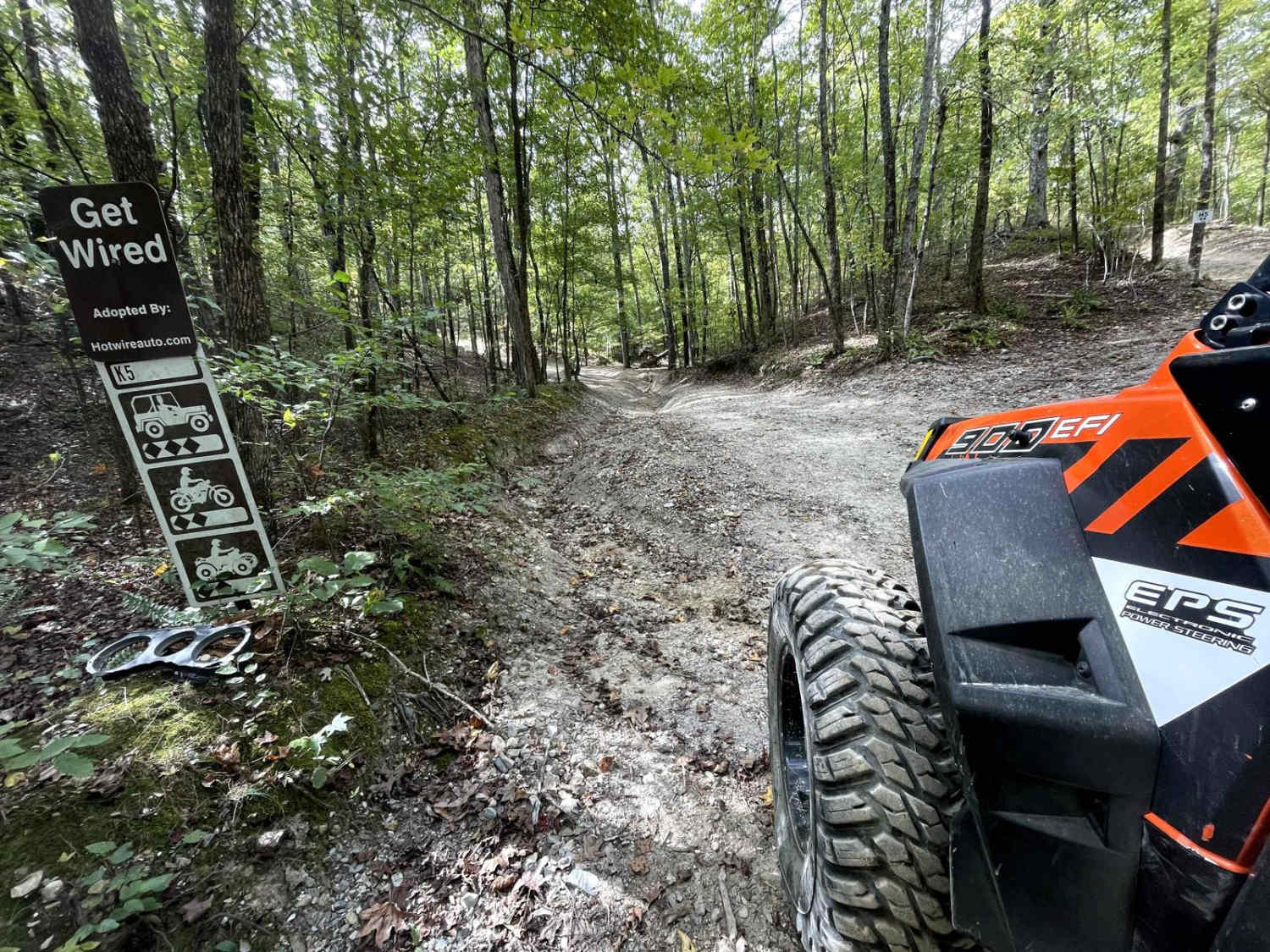
K5 Get Wired

The Arkansas Overland Route - TrailHawk Loop - Section 21 - Haus SP
The onX Offroad Difference
onX Offroad combines trail photos, descriptions, difficulty ratings, width restrictions, seasonality, and more in a user-friendly interface. Available on all devices, with offline access and full compatibility with CarPlay and Android Auto. Discover what you’re missing today!