Brock 41
Total Miles
1.4
Technical Rating
Best Time
Spring, Fall, Winter, Summer
Trail Type
50" Trail
Accessible By
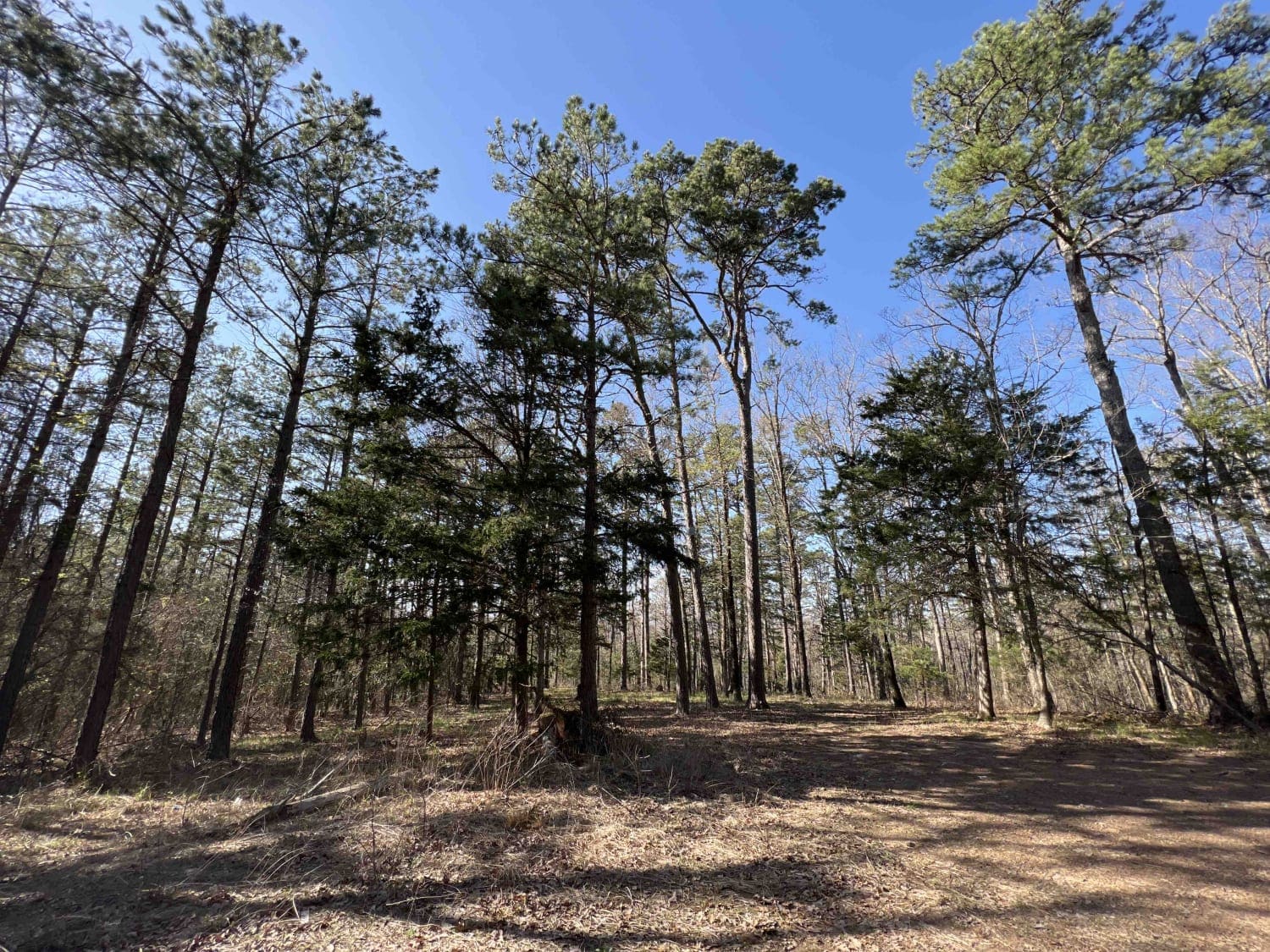
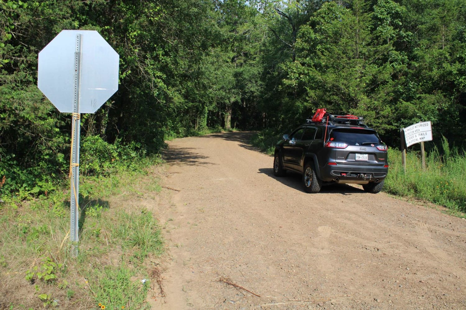
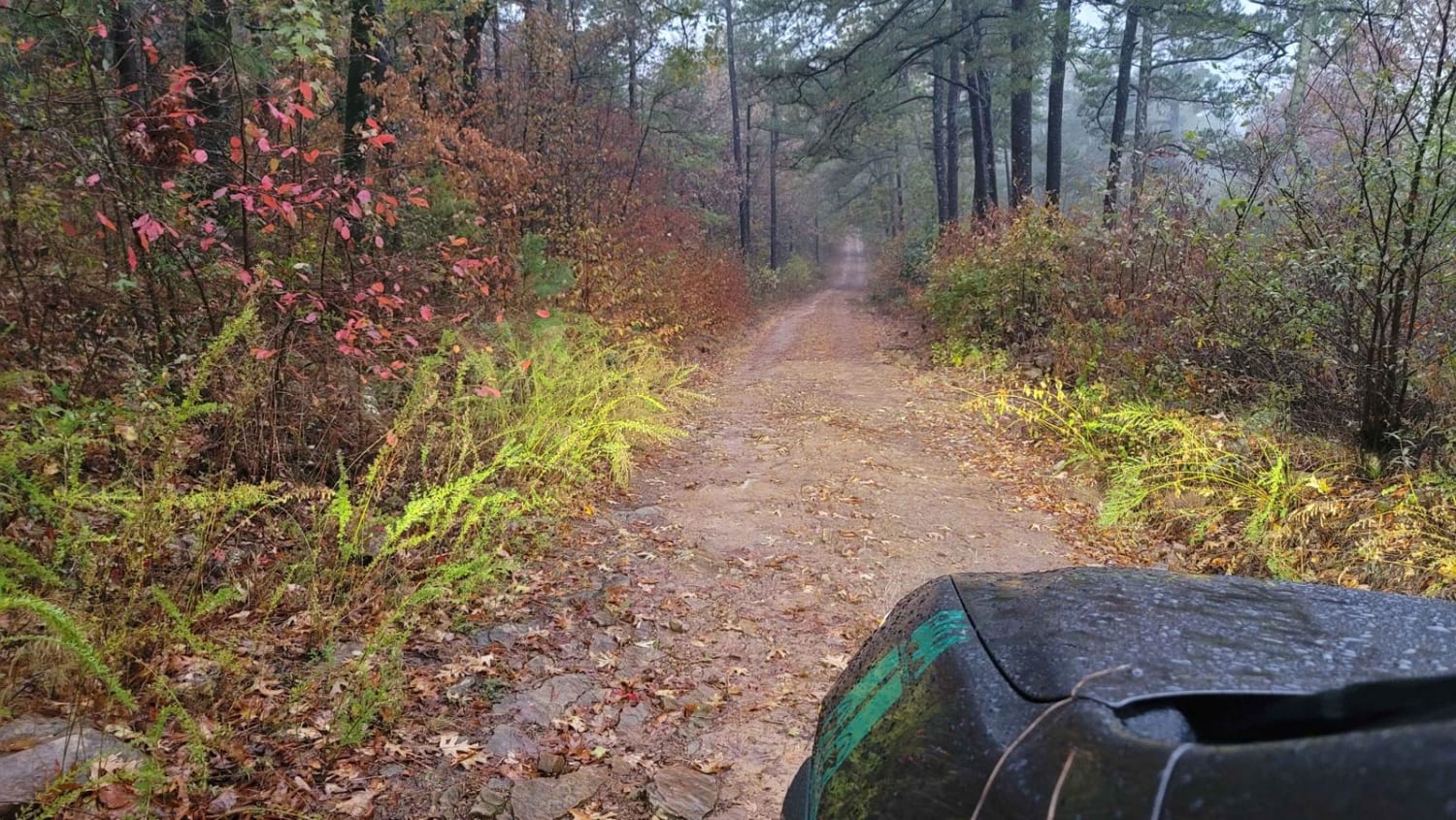
Trail Overview
This is a 1.5-mile-long ATV trail in the Ozark National Forest that starts and ends off of Brock #40, but it's not necessarily an easy shortcut, because it's become faint and difficult to navigate in the middle of the trail. The north and south ends of the trail are well defined and easy, but the middle portion is narrow and primitive. After major storms, it has become washed out and overgrown and looks like it needs rerouting. There are trail markers on the trees to help follow the route, but you'll need a GPS map to get through the trees. Portions of it look more like a single track as it has become narrow and overgrown. It's a good challenge if looking to pick your way through the overgrown. Expect to find rocky sections, small creek crossings, downed logs, and difficulty finding traction in the leaves.
Photos of Brock 41


Difficulty
This is an intermediate trail due to navigational challenges, as the trail is overgrown and washed out. It will require some route finding skills. Otherwise, the beginning and end of the path are smooth and easy, with a few rock sections.
Status Reports
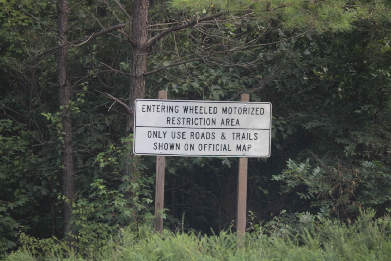
Brock 41 can be accessed by the following ride types:
- ATV (50")
- Dirt Bike
Brock 41 Map
Popular Trails
Gafford Creek 519
Dutch Mountain East
West Boundary
Petite Jean
The onX Offroad Difference
onX Offroad combines trail photos, descriptions, difficulty ratings, width restrictions, seasonality, and more in a user-friendly interface. Available on all devices, with offline access and full compatibility with CarPlay and Android Auto. Discover what you’re missing today!