Petite Jean
Total Miles
10.9
Technical Rating
Best Time
Spring, Summer, Fall, Winter
Trail Type
Full-Width Road
Accessible By
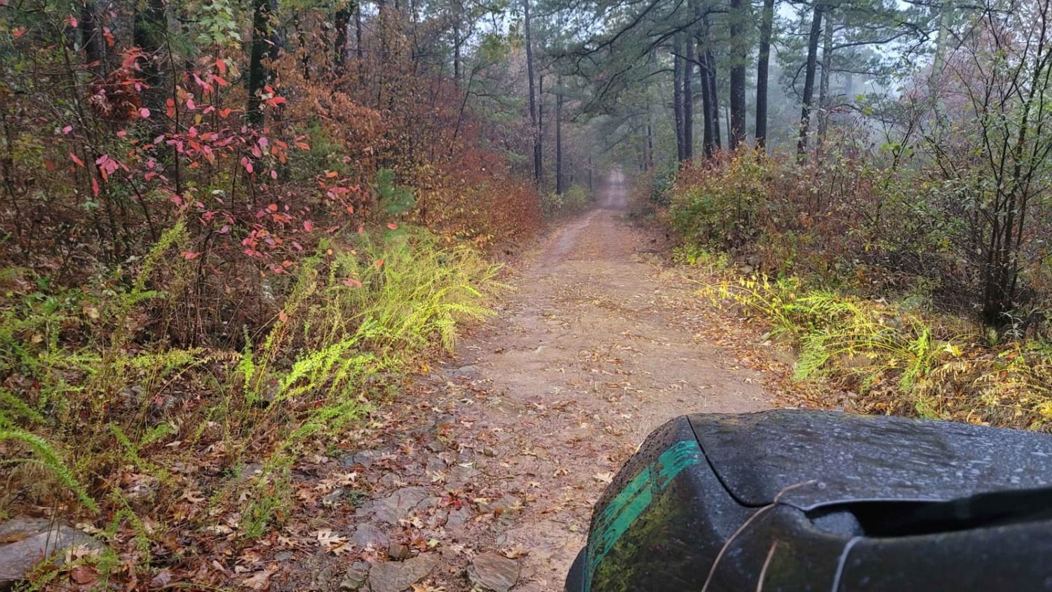
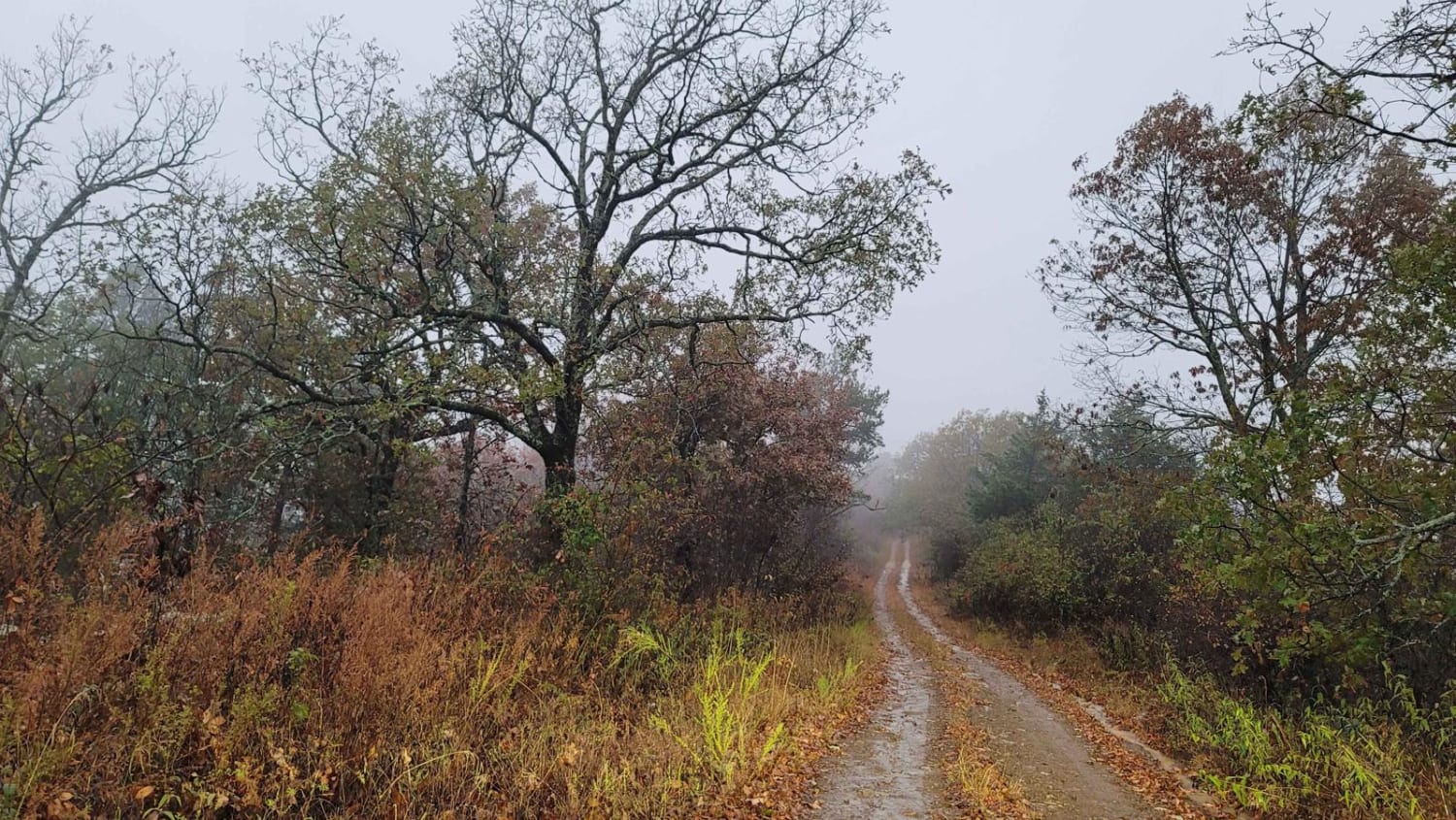
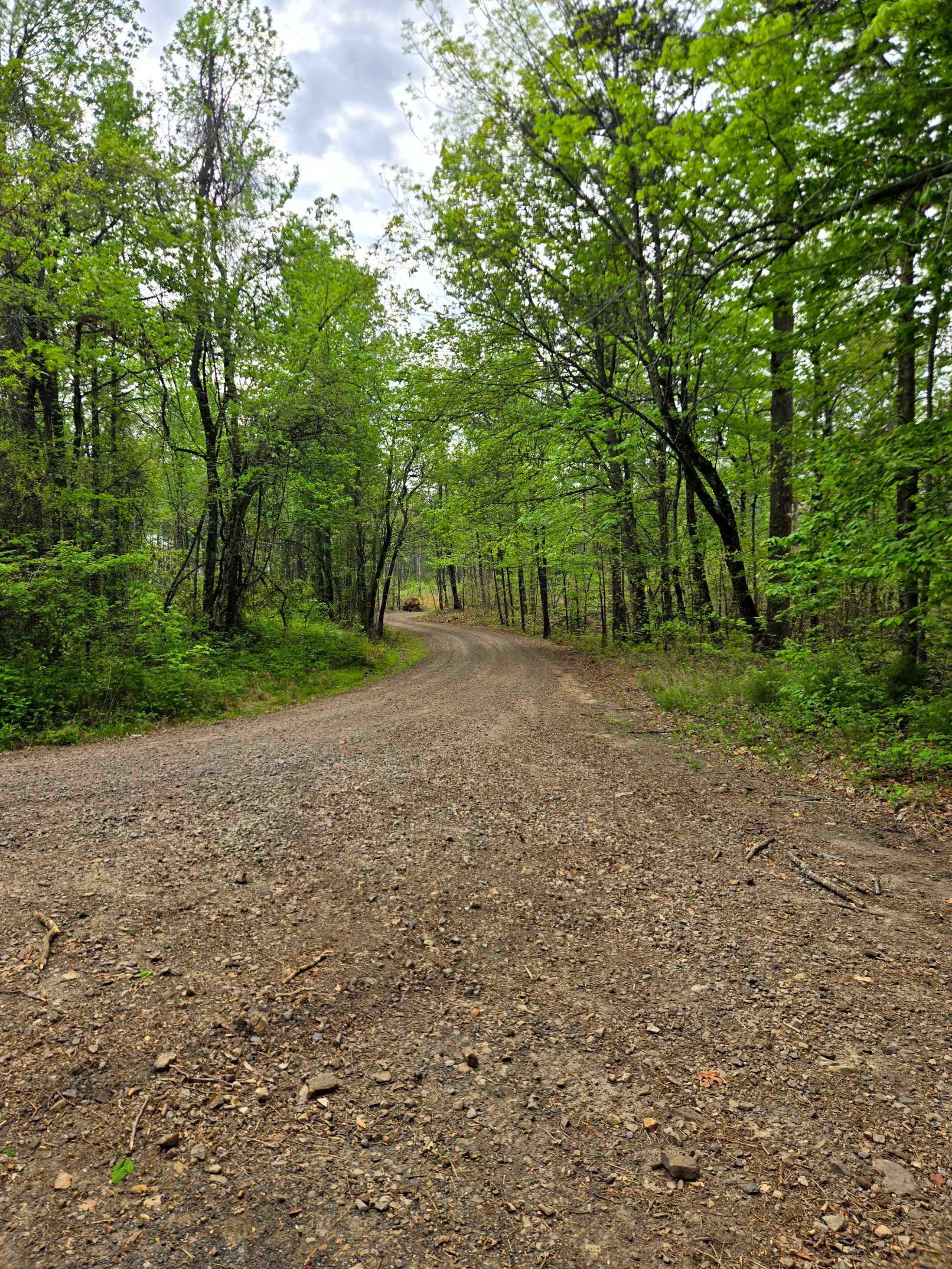
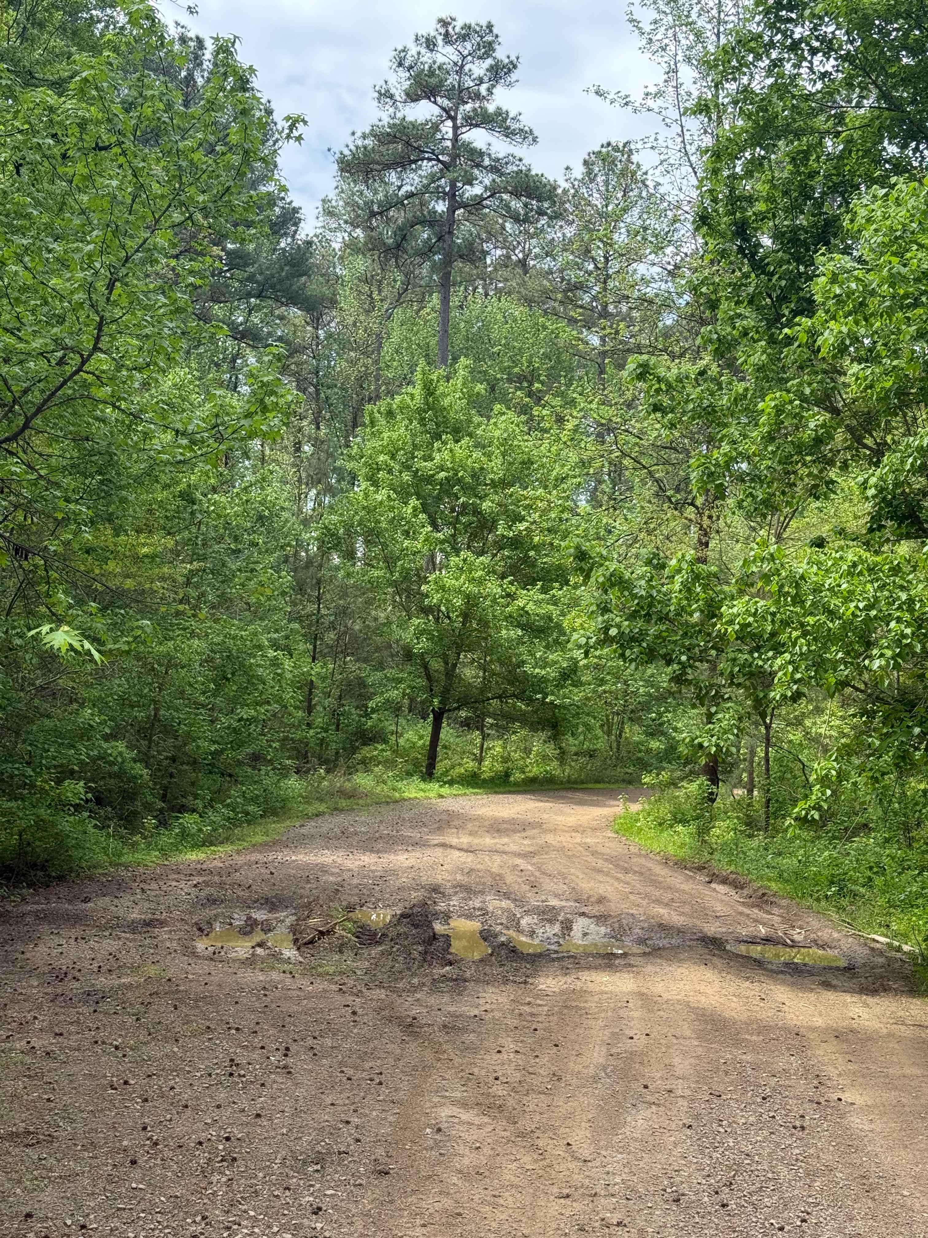
Trail Overview
This gravel road can be messy when wet. Some areas can be rutted and muddy. Fog can be present in higher elevations, causing zero visibility. This trail will take you past Petite Jean Mountain and over Kingdoodle Knob. There are dispersed camping areas along the trail. One dispersed campsite will be on the left after crossing Kingdoodle Knob as you travel west. This trail ends at a fork where you can exit the forest with a left turn to Highway 248, which goes to Waldron, Arkansas.
Photos of Petite Jean
Difficulty
This gravel road can be muddy and rutted when wet. There's fog in higher elevations with limited visibility.
Status Reports
Petite Jean can be accessed by the following ride types:
- High-Clearance 4x4
- SUV
- SxS (60")
- Dirt Bike
Petite Jean Map
Popular Trails


F3 Flexer
Nix Hollows
The onX Offroad Difference
onX Offroad combines trail photos, descriptions, difficulty ratings, width restrictions, seasonality, and more in a user-friendly interface. Available on all devices, with offline access and full compatibility with CarPlay and Android Auto. Discover what you’re missing today!