Off-Road Trails in Missouri
Discover off-road trails in Missouri
Learn more about Sutton Bluff ATV 4 South - SB 4
Sutton Bluff ATV 4 South - SB 4
Total Miles
1.6
Tech Rating
Moderate
Best Time
Spring, Summer, Fall, Winter
Learn more about Sutton Bluff ATV 5 - SB 5
Sutton Bluff ATV 5 - SB 5
Total Miles
0.9
Tech Rating
Moderate
Best Time
Summer, Spring, Fall, Winter
Learn more about Sutton Bluff ATV 6 - SB 6
Sutton Bluff ATV 6 - SB 6
Total Miles
2.6
Tech Rating
Easy
Best Time
Spring, Summer, Fall, Winter
Learn more about Sutton Bluff ATV 7 North - SB 7
Sutton Bluff ATV 7 North - SB 7
Total Miles
1.6
Tech Rating
Easy
Best Time
Spring, Summer, Fall, Winter
Learn more about Sutton Bluff ATV 7 South - SB 7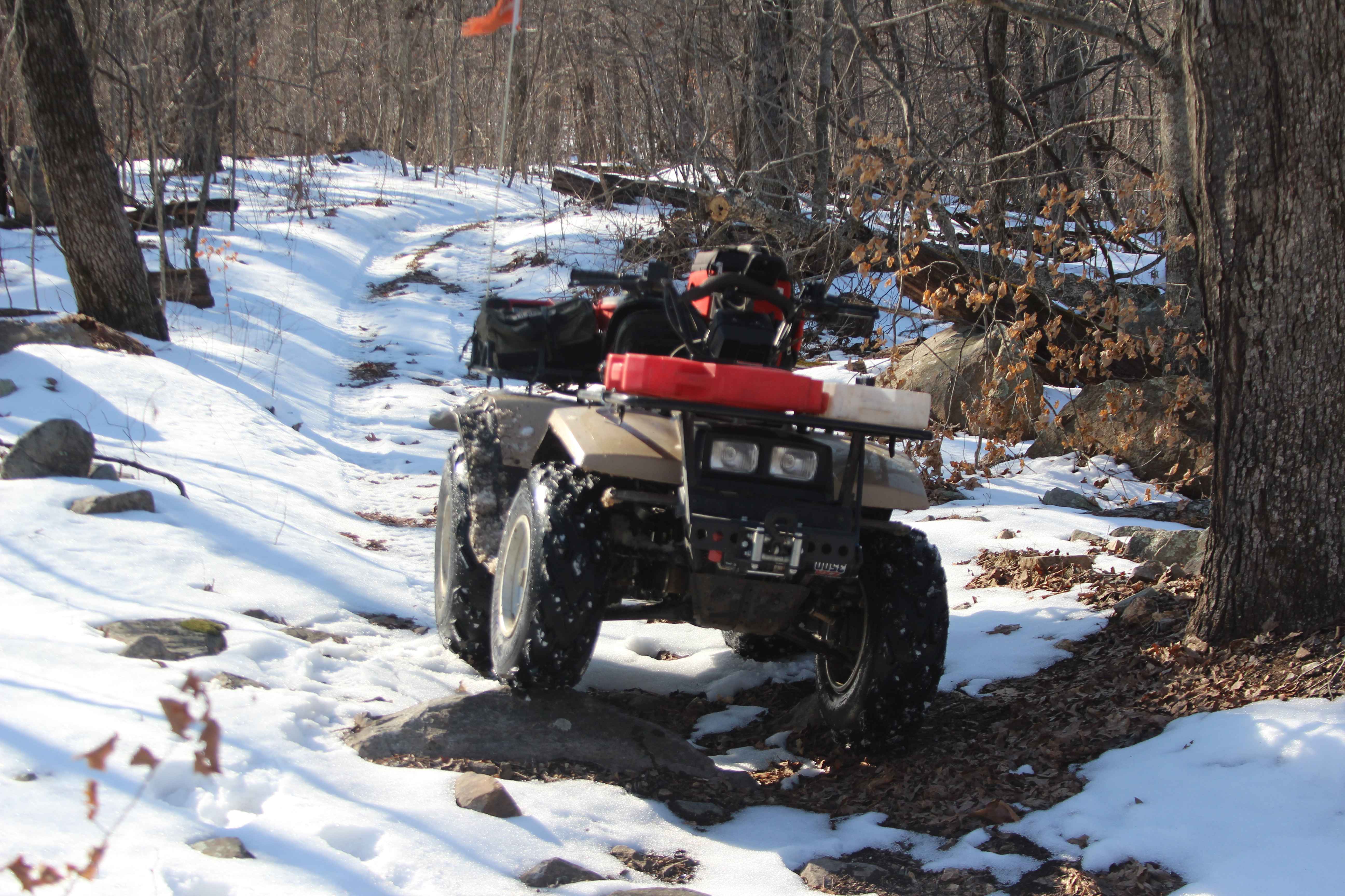
Sutton Bluff ATV 7 South - SB 7
Total Miles
3.6
Tech Rating
Easy
Best Time
Spring, Winter, Fall, Summer
Learn more about Sutton Bluff ATV 8 East - SB 8
Sutton Bluff ATV 8 East - SB 8
Total Miles
1.2
Tech Rating
Easy
Best Time
Spring, Summer, Fall, Winter
Learn more about Sutton Bluff ATV 8 West - SB 8
Sutton Bluff ATV 8 West - SB 8
Total Miles
2.7
Tech Rating
Easy
Best Time
Spring, Summer, Fall, Winter
Learn more about Sutton Bluff ATV 9 - SB 9
Sutton Bluff ATV 9 - SB 9
Total Miles
1.7
Tech Rating
Easy
Best Time
Spring, Summer, Fall, Winter
Learn more about Tall Tree - FS 2243
Tall Tree - FS 2243
Total Miles
0.4
Tech Rating
Easy
Best Time
Spring, Summer, Fall, Winter
Learn more about Tango - FS 3843B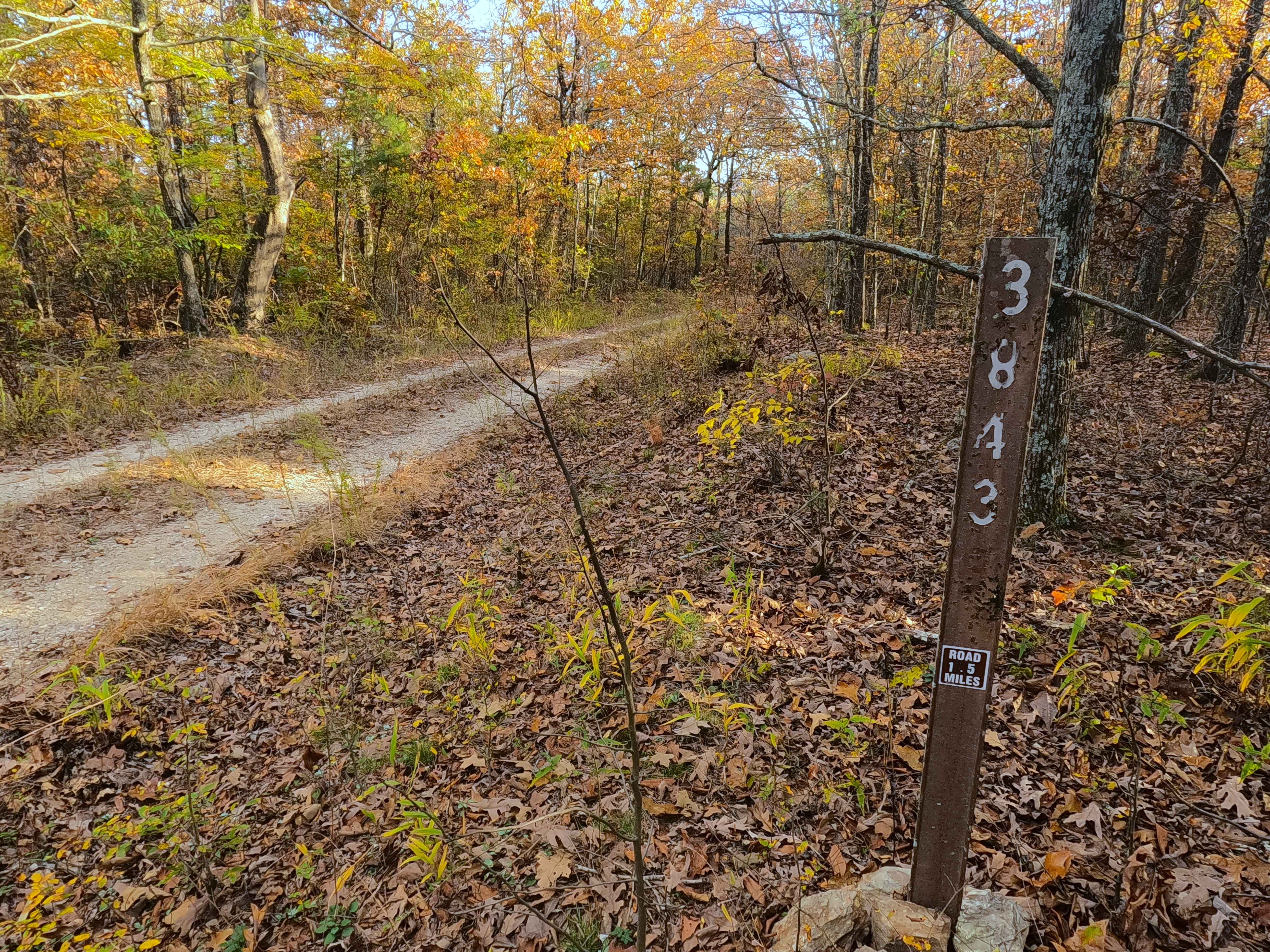
Tango - FS 3843B
Total Miles
0.9
Tech Rating
Easy
Best Time
Spring, Summer, Fall, Winter
Learn more about Taum Sauk Cemetery - RCR 205
Taum Sauk Cemetery - RCR 205
Total Miles
0.4
Tech Rating
Easy
Best Time
Fall, Summer, Spring, Winter
Learn more about Taum Sauk Mountain Road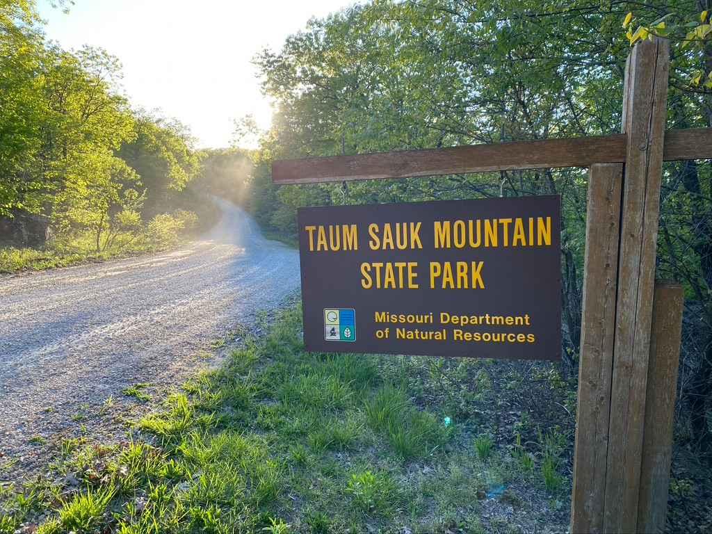
Taum Sauk Mountain Road
Total Miles
1.4
Tech Rating
Easy
Best Time
Spring, Fall, Winter, Summer
Learn more about Teddy & Matts Mud Pit Area
Teddy & Matts Mud Pit Area
Total Miles
0.2
Tech Rating
Easy
Best Time
Spring, Summer, Fall, Winter
Learn more about Tennyson Hollow East - FS 507
Tennyson Hollow East - FS 507
Total Miles
3.9
Tech Rating
Moderate
Best Time
Spring, Summer, Fall, Winter
Learn more about Tennyson Hollow West - FS 507
Tennyson Hollow West - FS 507
Total Miles
3.0
Tech Rating
Moderate
Best Time
Spring, Summer, Fall, Winter
Learn more about Terrible Twos 147
Terrible Twos 147
Total Miles
0.1
Tech Rating
Difficult
Best Time
Spring, Summer, Fall, Winter
Learn more about The Beast
The Beast
Total Miles
0.1
Tech Rating
Moderate
Best Time
Spring, Summer, Fall, Winter
Learn more about The Bowl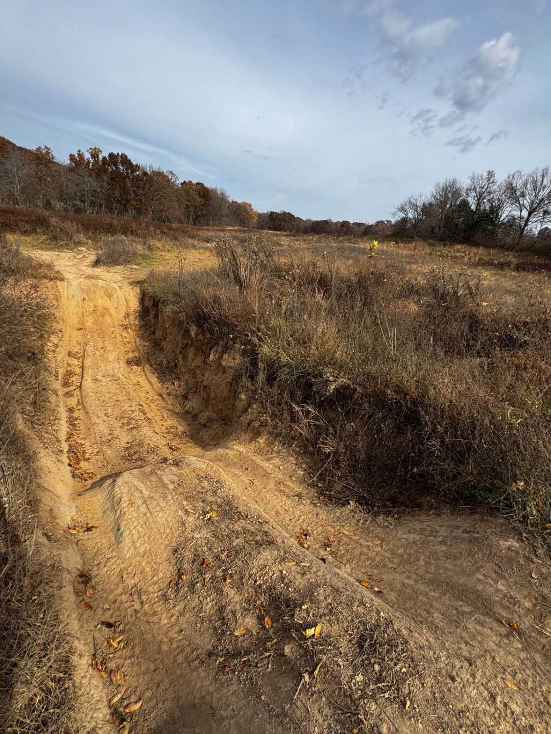
The Bowl
Total Miles
0.1
Tech Rating
Moderate
Best Time
Spring, Summer, Fall, Winter

Learn more about The Saddle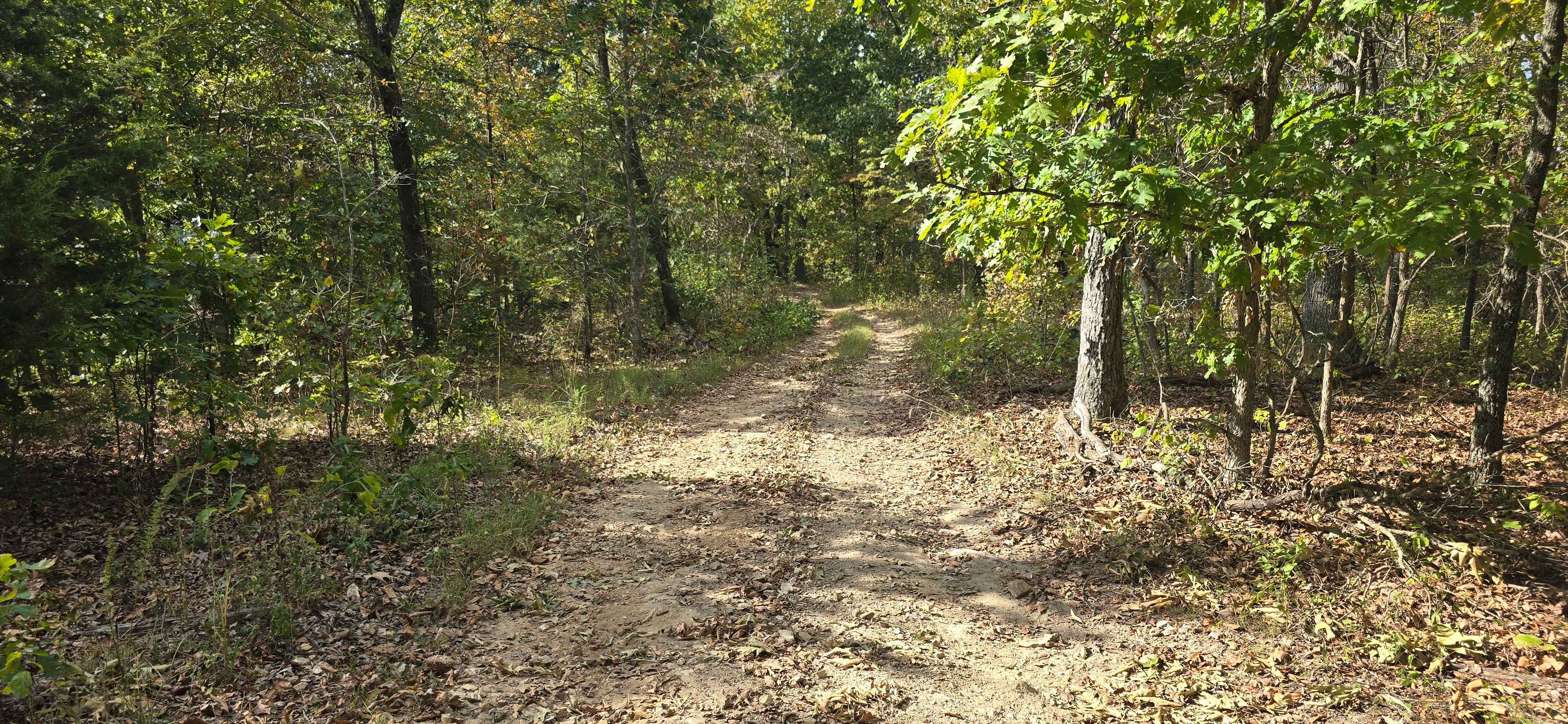
The Saddle
Total Miles
0.4
Tech Rating
Easy
Best Time
Spring, Summer, Fall, Winter
ATV trails in Missouri


Learn more about 4 of 5
4 of 5
Total Miles
0.0
Tech Rating
Difficult
Best Time
Spring, Summer, Fall, Winter
UTV/side-by-side trails in Missouri
Learn more about 4 of 5
4 of 5
Total Miles
0.0
Tech Rating
Difficult
Best Time
Spring, Summer, Fall, Winter
The onX Offroad Difference
onX Offroad combines trail photos, descriptions, difficulty ratings, width restrictions, seasonality, and more in a user-friendly interface. Available on all devices, with offline access and full compatibility with CarPlay and Android Auto. Discover what you’re missing today!