Sutton Bluff ATV 9 - SB 9
Total Miles
1.7
Technical Rating
Best Time
Spring, Summer, Fall, Winter
Trail Type
50" Trail
Accessible By
Trail Overview
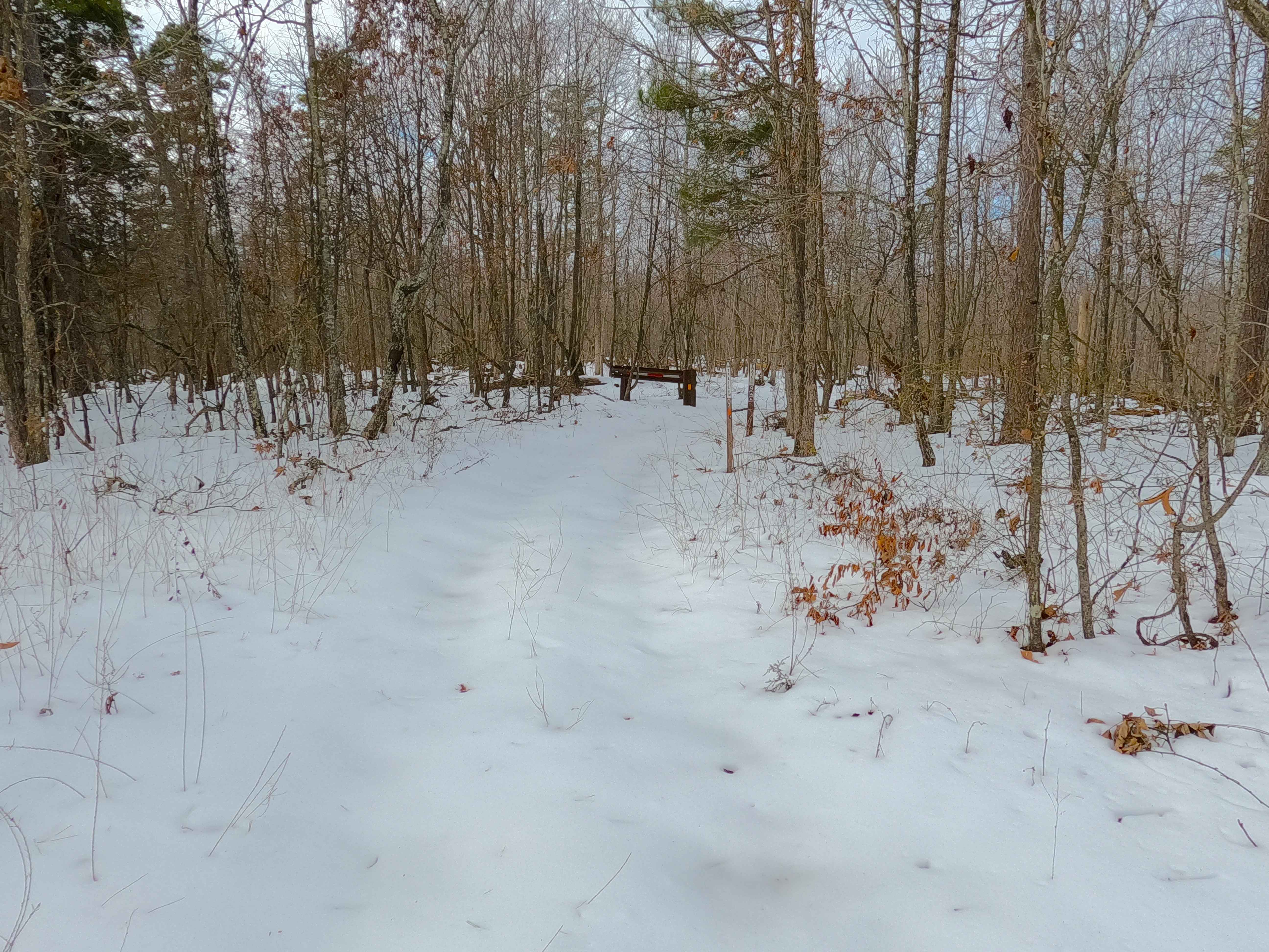
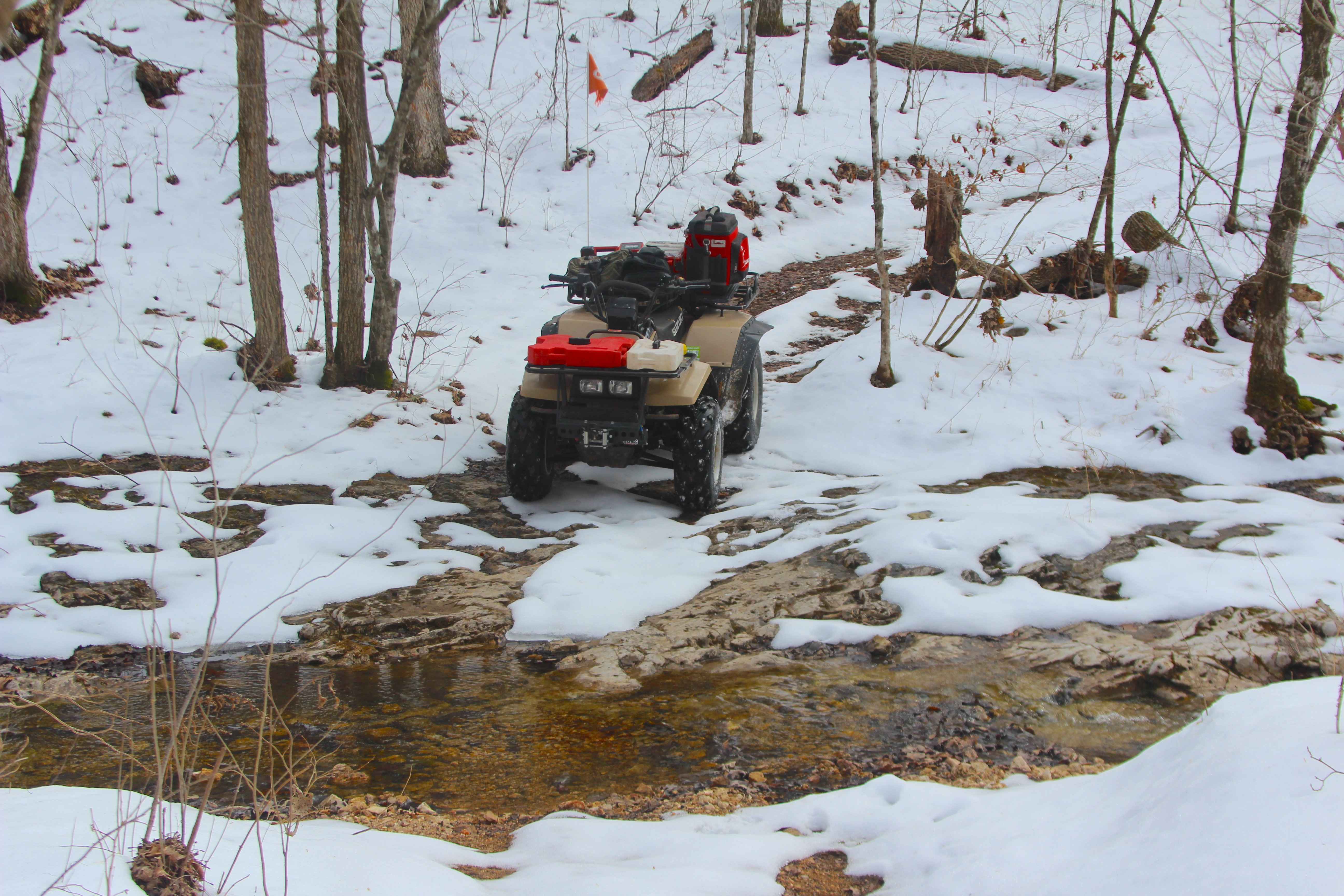
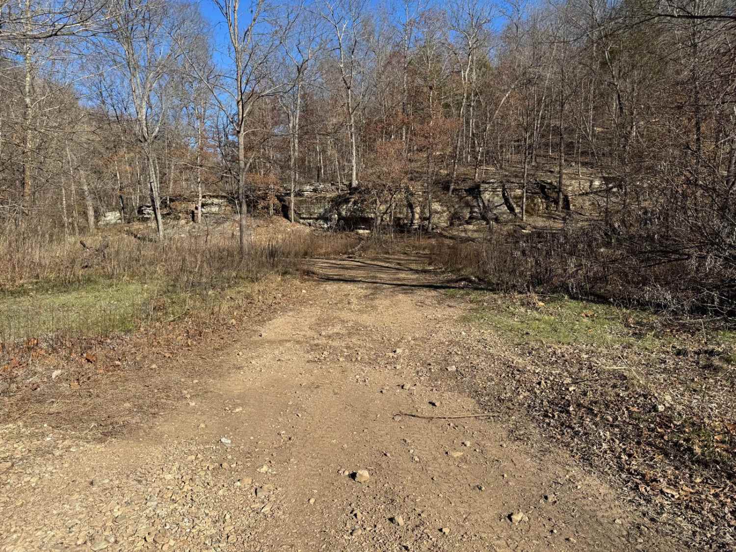
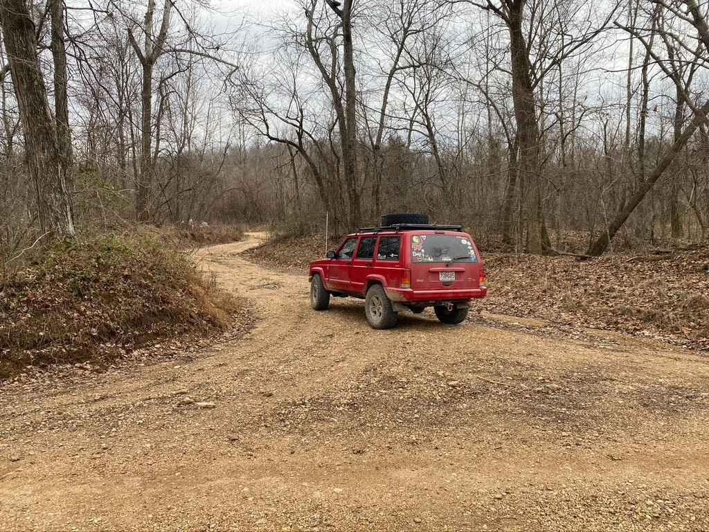
Sutton Bluff ATV 9, also known as Ronnie (legal/emergency ID SB 9), is a 50-inch and under restricted trail within the Sutton Bluff OHV trail system managed by the Mark Twain National Forest Salem Unit. SB 9 acts as the main entry point to the southeast corner and the large "far east section" of Sutton Bluff OHV. It is also the closest point to the eastern entrance of the Karkaghne Scenic Drive. Summary: SB 9 is an east-to-west ATV trail starting at the Karkaghne Scenic Drive on the east, connecting with SB 17 on its east ridgetop section, and ending on the west at a crossing with SB 8 West and SB 8 East in the bottoms. Large Overview of the entire track staring at the east trailhead: SB 9 begins on the ridgetop from a large parking area off the Karkaghne Scenic Drive, heads west from the gate gradually losing elevation along the ridgetop section up to the crossing with SB 17 (which goes north), meets the second SB 9 restriction gate, then continues further west into the consistently downhill, heavy switchback section of the trail. The final section reaches the valley bottom, hosting a feeder creek of the West Fork of the Black River, where it meets its western conclusion marked by the crossing with SB 8 West and SB 8 East. SB 9's notable core elements include a plethora of switchbacks, a natural coarse-gravel-dirt path featuring whoops, loose cobbles, mini boulders, natural rock slabs, tree roots, small water crossings, and small water-collection spots. To enjoy this trail and OHV system, obtain the required Sutton Bluff permit from Mark Twain National Forest, and if intending to use an ATV on Reynolds County Roads to commute between trails, obtain the Reynolds County ATV/UTV permit as well, in accordance with Missouri state laws.
Photos of Sutton Bluff ATV 9 - SB 9
Difficulty
SB 9 is given a base rating of 3/10, for having small 3-12-inch water crossings and water collection spots, steep grades throughout the majority of the track, occasional small 3-12-inch fallen trees, tree roots acting as mini 3-8-inch ledges, loose 4-10-inch cobbles laying in the trail, 10-inch to 18-inch mini boulders, and natural slabs present on edges or mostly buried within the ground as part of the path. Difficulty can increase from heavy use, lack of maintenance, large 12-inch+ fallen trees blocking the trail, wet or rainy conditions, inclement weather, or damage sustained from flash flooding. If actively flooding, consider the trail closed.
Status Reports
Sutton Bluff ATV 9 - SB 9 can be accessed by the following ride types:
- ATV (50")
- Dirt Bike
Sutton Bluff ATV 9 - SB 9 Map
Popular Trails

Ball Tickler

Pasture Parkway
Old Baptist Church Bo-Co Road 920
The onX Offroad Difference
onX Offroad combines trail photos, descriptions, difficulty ratings, width restrictions, seasonality, and more in a user-friendly interface. Available on all devices, with offline access and full compatibility with CarPlay and Android Auto. Discover what you’re missing today!