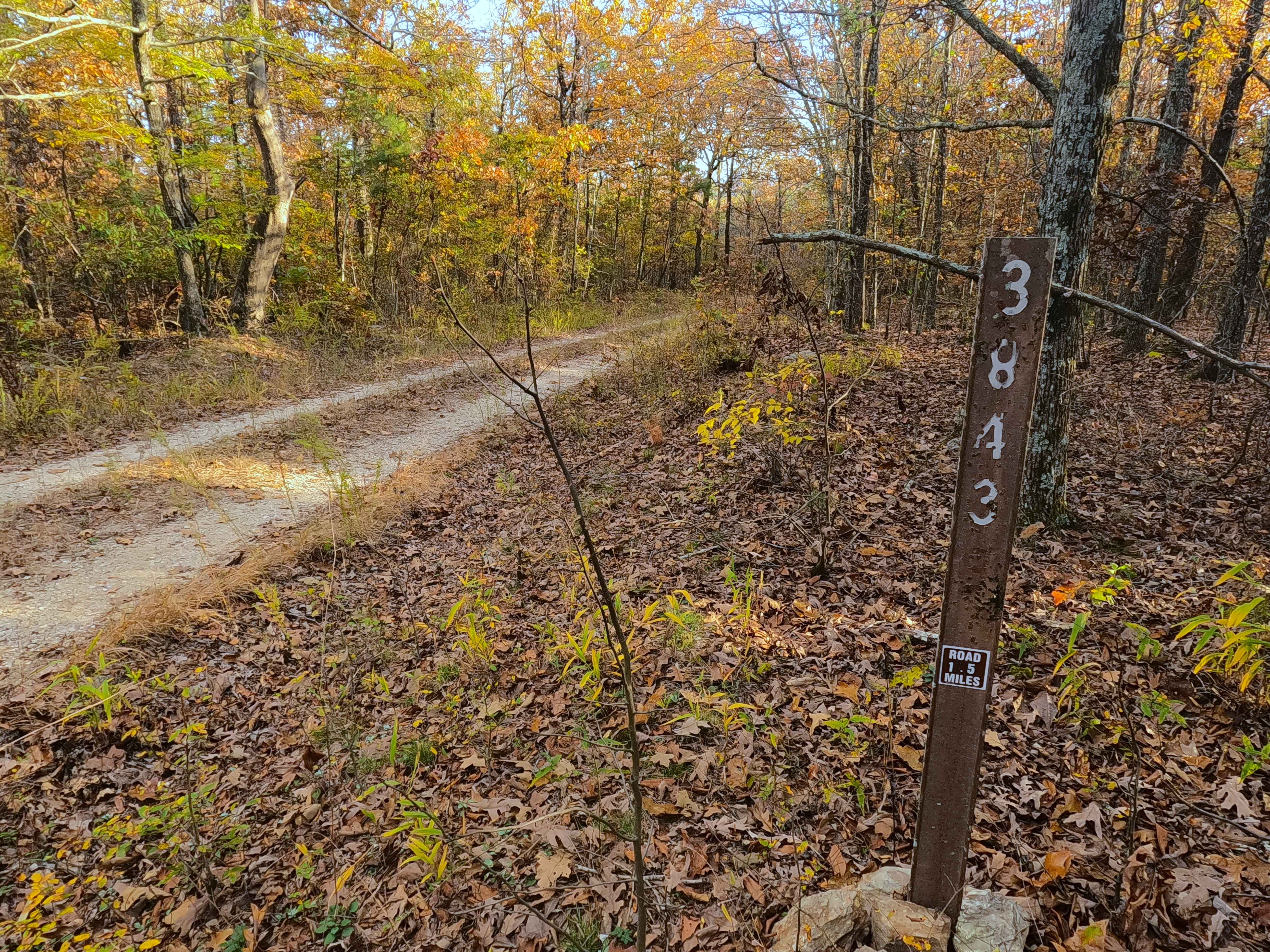
Tango - FS 3843B
Total Miles
0.9
Technical Rating
Best Time
Spring, Summer, Fall, Winter
Trail Type
Full-Width Road
Accessible By
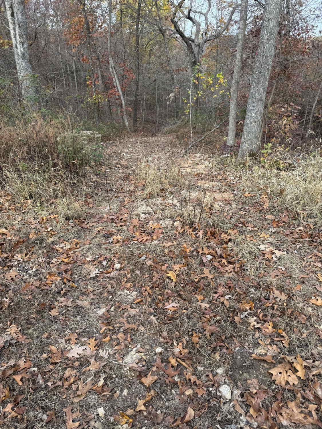
Trail Overview
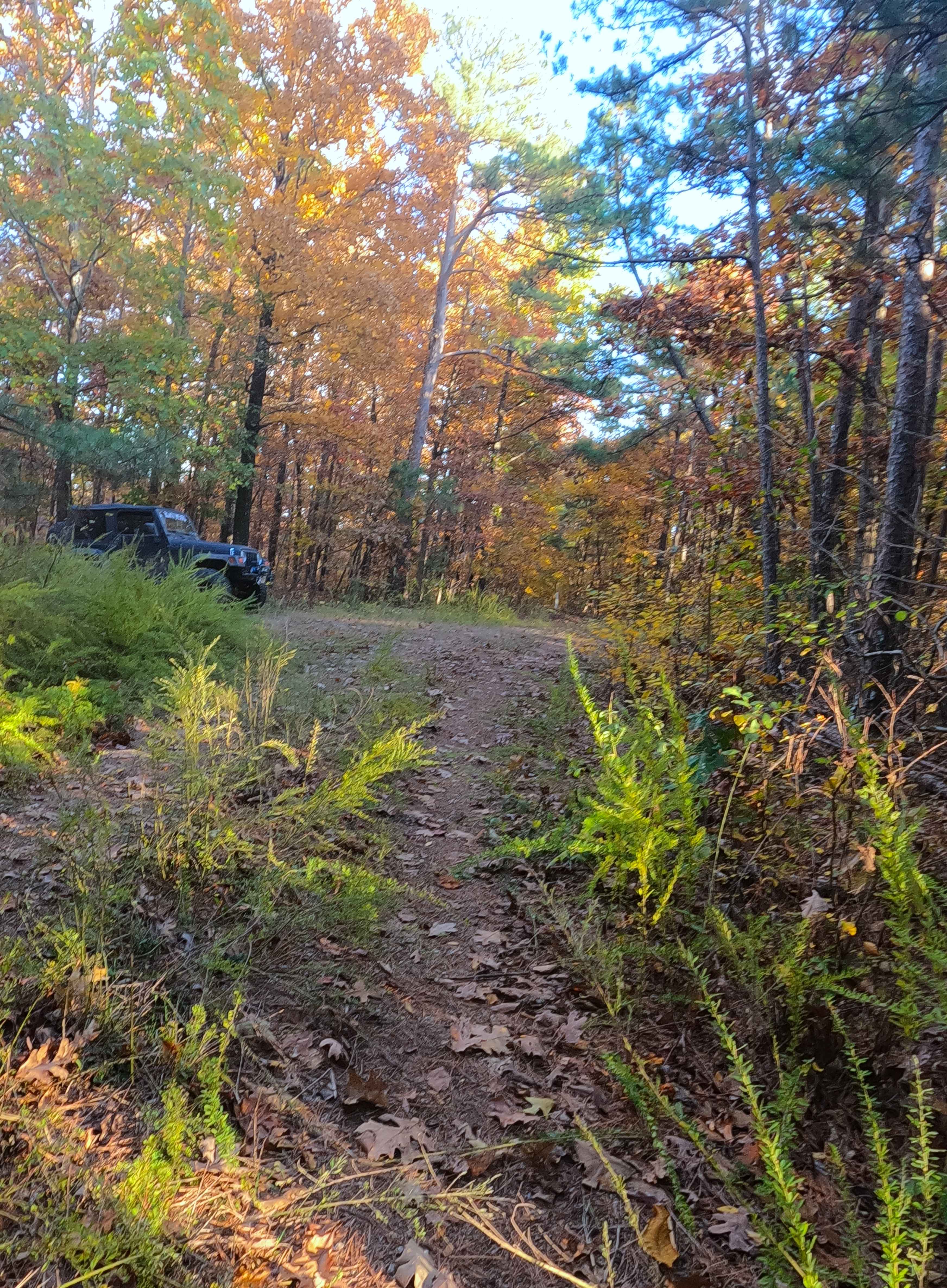
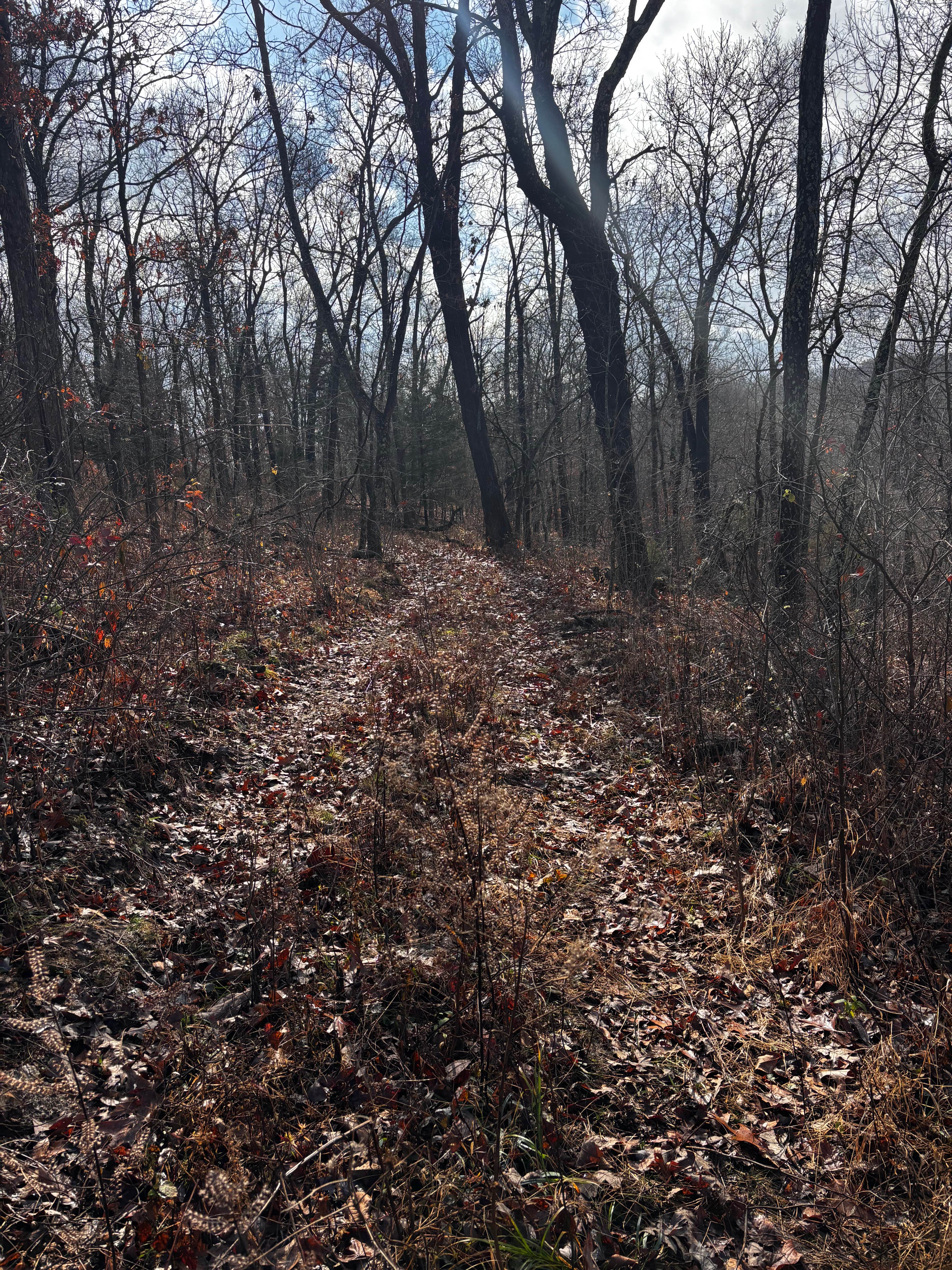
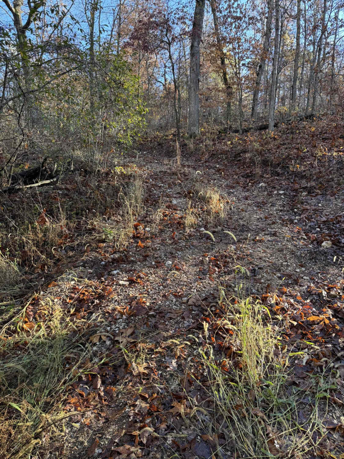
Tango (FS 3843B) is a semi-maintained gravel Forest Service road within the Poplar Bluff Unit of Mark Twain National Forest. Tango takes off from the Foxtrot (FS 3843) heading south towards the Otter Creek valley to the south. The road consists of dropping down some moderate grades, over natural coarse gravel, and mild erosion washes, with the track fading to dirt in spots, and the second half of the track follows the spines of the ridge, going up and down to the final turnaround end point, where the USFS has built berms of soil, right at the 1 mile mark, to prevent users from going any further south (but the foliage and overgrowth past the berm cements this thought) suggesting this is the new end point for the FS 3843B, users must turnaround and head back out the way entered.
Photos of Tango - FS 3843B
Difficulty
Tango is given a base rating of 2/10. Along the way, you will cross small whoops, lightly active erosion, and parts of the road that fade to soft dirt or surface mud. When documented in 11/2025, the mild hills of the road had loose enough gravel and rock to cause traction loss and potential sliding, there was also several trees down, which had to be crossed like a natural speedbump. It is safe to expect the normal gravel road complications, such as washboards, potholes, mounding of the gravel, and potential erosion washes. Difficulty could increase in seasons of extreme inclement weather, lack of maintenance, and heavy use, but would likely drop back to 2/10 difficulty once dry, or even to a 1/10 if it were mended with fresh gravel.
Status Reports
Tango - FS 3843B can be accessed by the following ride types:
- High-Clearance 4x4
- SUV
- SxS (60")
- ATV (50")
- Dirt Bike
Tango - FS 3843B Map
Popular Trails

The onX Offroad Difference
onX Offroad combines trail photos, descriptions, difficulty ratings, width restrictions, seasonality, and more in a user-friendly interface. Available on all devices, with offline access and full compatibility with CarPlay and Android Auto. Discover what you’re missing today!