Off-Road Trails in Missouri
Discover off-road trails in Missouri
Learn more about Upper Field Woodlands Trail
Upper Field Woodlands Trail
Total Miles
0.5
Tech Rating
Easy
Best Time
Spring, Summer, Fall, Winter
Learn more about Upper Greasy Creek - FS 129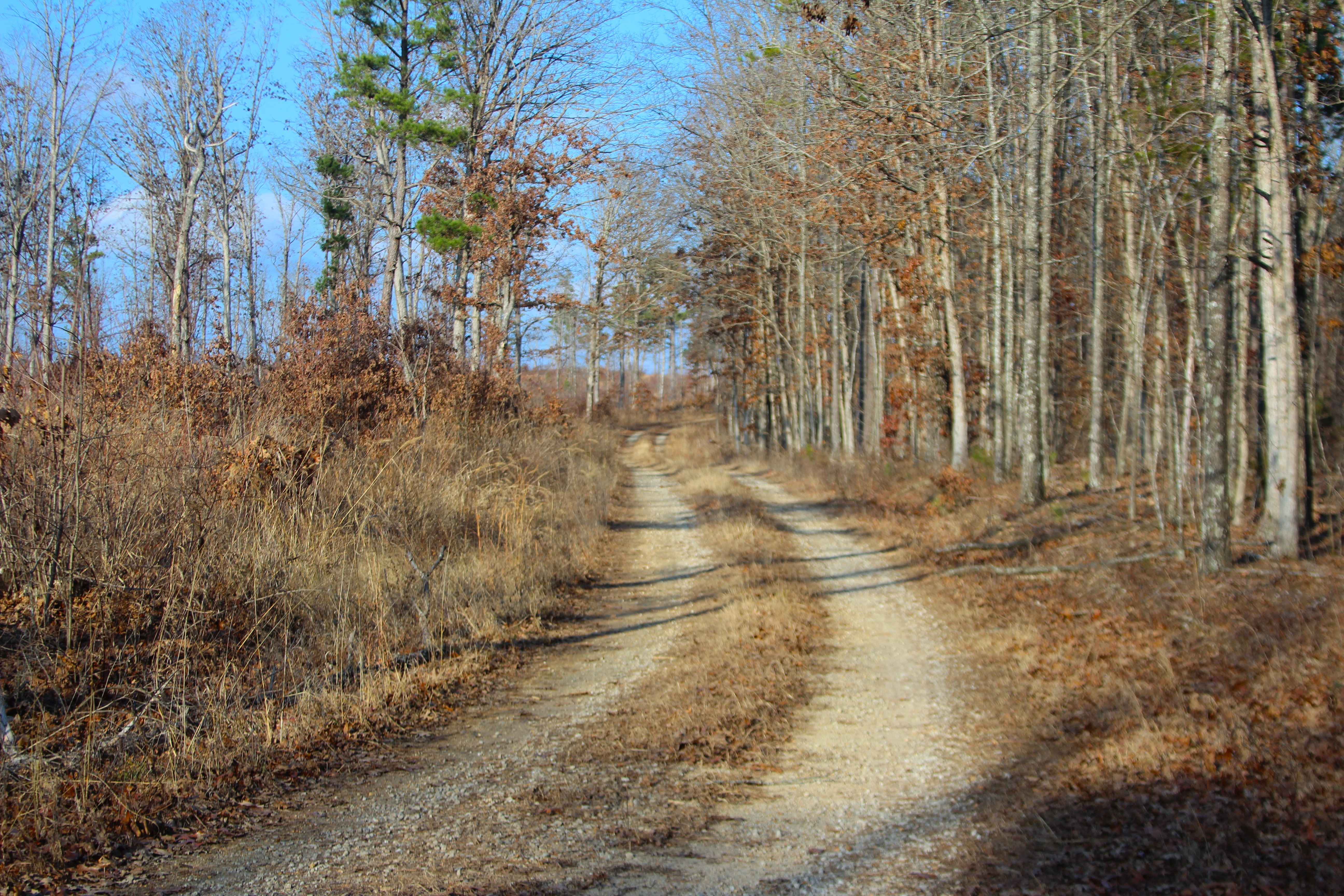
Upper Greasy Creek - FS 129
Total Miles
1.4
Tech Rating
Easy
Best Time
Spring, Summer, Fall, Winter
Learn more about Upper Henderson - FS 2260
Upper Henderson - FS 2260
Total Miles
2.7
Tech Rating
Easy
Best Time
Spring, Summer, Fall, Winter
Learn more about Upper Waterfall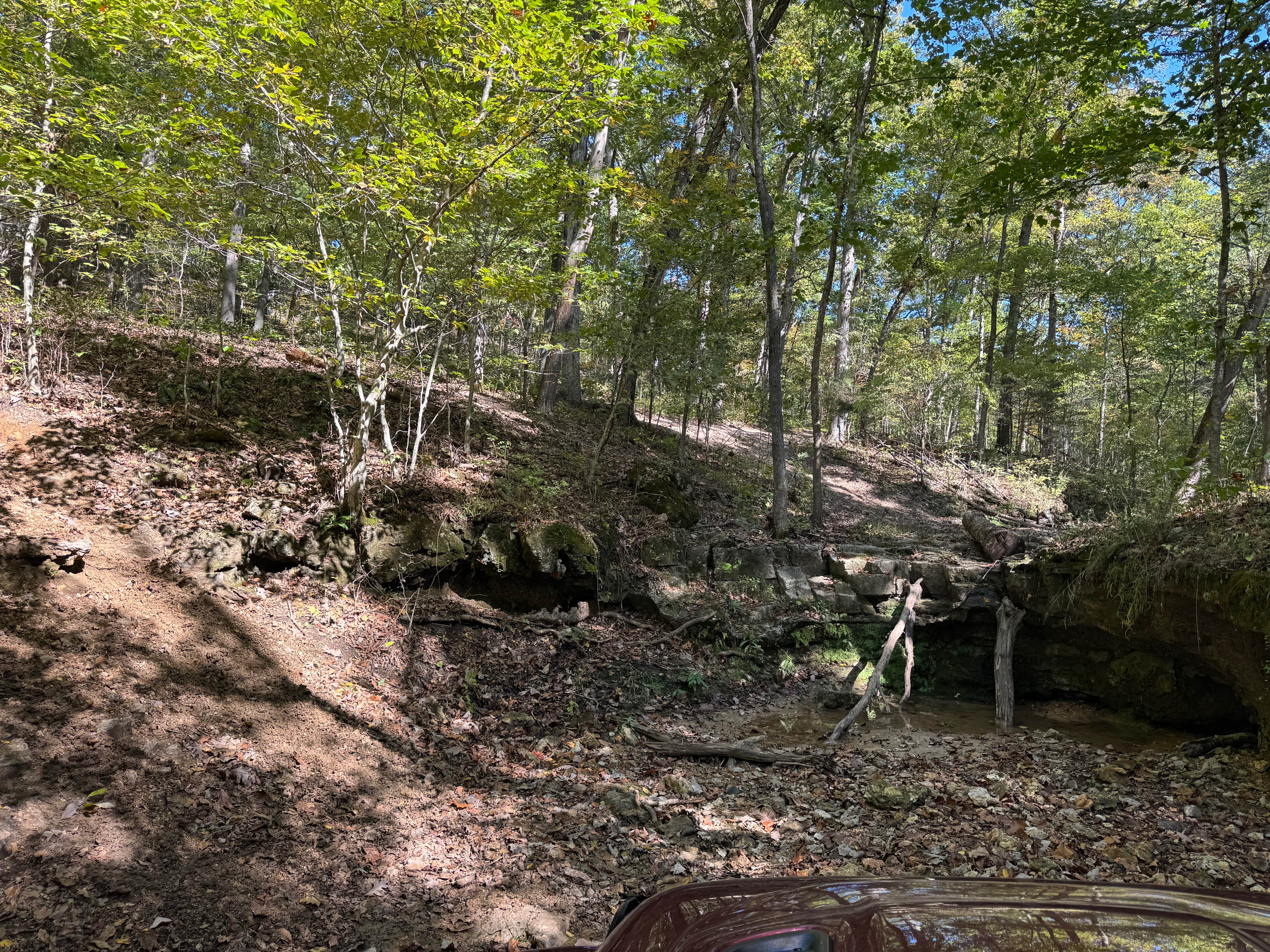
Upper Waterfall
Total Miles
0.0
Tech Rating
Difficult
Best Time
Spring, Summer, Fall, Winter
Learn more about Van Camp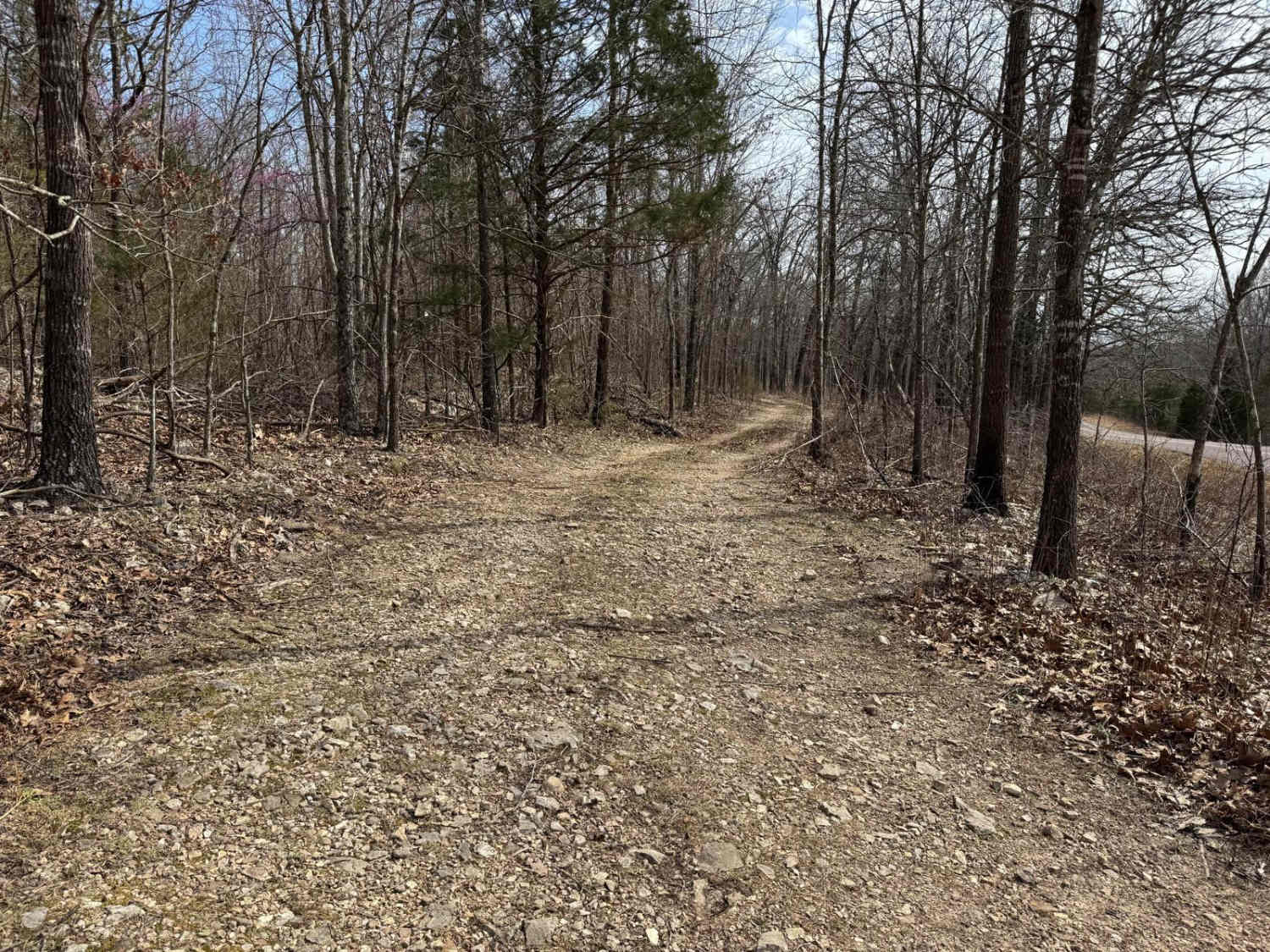
Van Camp
Total Miles
1.6
Tech Rating
Moderate
Best Time
Spring, Summer, Fall, Winter
Learn more about VICTORY SCHOOL (FS 3117)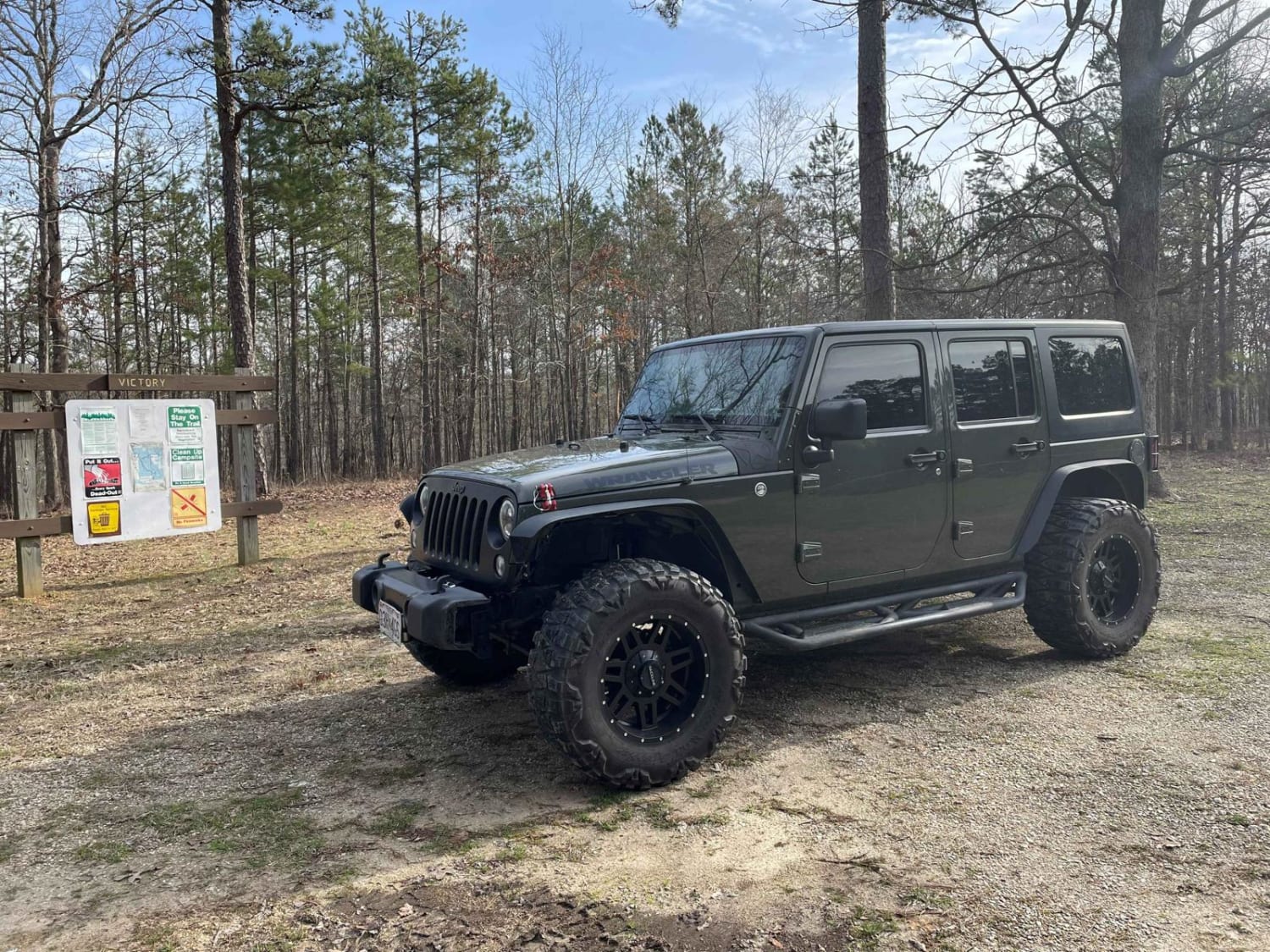
VICTORY SCHOOL (FS 3117)
Total Miles
1.6
Tech Rating
Easy
Best Time
Spring, Summer, Fall, Winter
Learn more about Wash Creek FSR 2177
Wash Creek FSR 2177
Total Miles
1.4
Tech Rating
Easy
Best Time
Spring, Summer, Fall, Winter
Learn more about Wash Creek Road
Wash Creek Road
Total Miles
6.5
Tech Rating
Easy
Best Time
Spring, Summer, Fall, Winter
Learn more about Washington Bald - FSR 148A
Washington Bald - FSR 148A
Total Miles
0.3
Tech Rating
Easy
Best Time
Spring, Summer, Fall, Winter
Learn more about Waterfall 35
Waterfall 35
Total Miles
0.2
Tech Rating
Difficult
Best Time
Spring, Summer, Fall, Winter
Learn more about Waterfall Access
Waterfall Access
Total Miles
0.1
Tech Rating
Easy
Best Time
Spring, Summer, Fall, Winter
Learn more about Waterfall Crawl
Waterfall Crawl
Total Miles
0.0
Tech Rating
Extreme
Best Time
Winter, Fall, Spring, Summer
Learn more about Waterfall Run
Waterfall Run
Total Miles
0.1
Tech Rating
Moderate
Best Time
Spring, Summer, Fall, Winter
Learn more about Waterhole - FS 145A
Waterhole - FS 145A
Total Miles
1.2
Tech Rating
Easy
Best Time
Spring, Summer, Fall, Winter
Learn more about Waymeyer Landing - NPS 215
Waymeyer Landing - NPS 215
Total Miles
0.3
Tech Rating
Easy
Best Time
Spring, Summer, Fall, Winter
Learn more about Wayne - CR 207
Wayne - CR 207
Total Miles
4.8
Tech Rating
Easy
Best Time
Spring, Summer, Fall, Winter
Learn more about Wayne - CR 212
Wayne - CR 212
Total Miles
4.8
Tech Rating
Easy
Best Time
Spring, Summer, Fall, Winter
Learn more about Wayne - CR 302
Wayne - CR 302
Total Miles
3.4
Tech Rating
Easy
Best Time
Spring, Summer, Fall, Winter
Learn more about Wayne County Road 537
Wayne County Road 537
Total Miles
3.6
Tech Rating
Easy
Best Time
Spring, Summer, Fall, Winter
Learn more about Wee Wee 
Wee Wee
Total Miles
0.0
Tech Rating
Moderate
Best Time
Spring, Summer, Fall, Winter
ATV trails in Missouri


Learn more about 4 of 5
4 of 5
Total Miles
0.0
Tech Rating
Difficult
Best Time
Spring, Summer, Fall, Winter
UTV/side-by-side trails in Missouri
Learn more about 4 of 5
4 of 5
Total Miles
0.0
Tech Rating
Difficult
Best Time
Spring, Summer, Fall, Winter
The onX Offroad Difference
onX Offroad combines trail photos, descriptions, difficulty ratings, width restrictions, seasonality, and more in a user-friendly interface. Available on all devices, with offline access and full compatibility with CarPlay and Android Auto. Discover what you’re missing today!