Wayne - CR 212
Total Miles
4.8
Technical Rating
Best Time
Spring, Summer, Fall, Winter
Trail Type
Full-Width Road
Accessible By
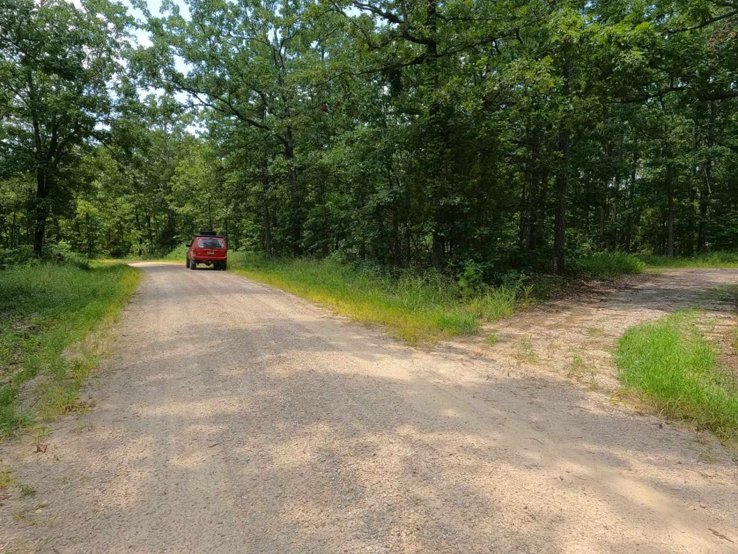
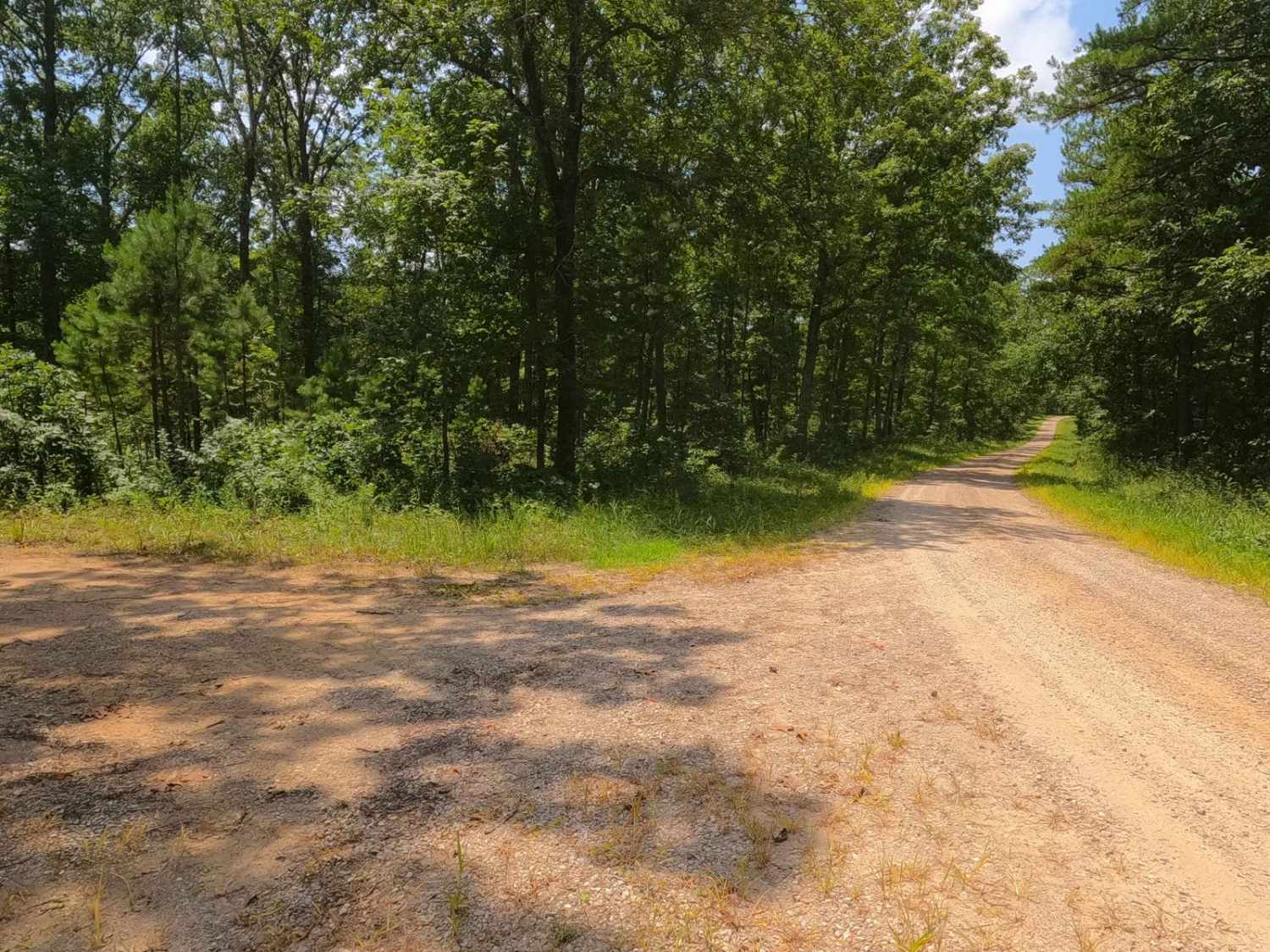
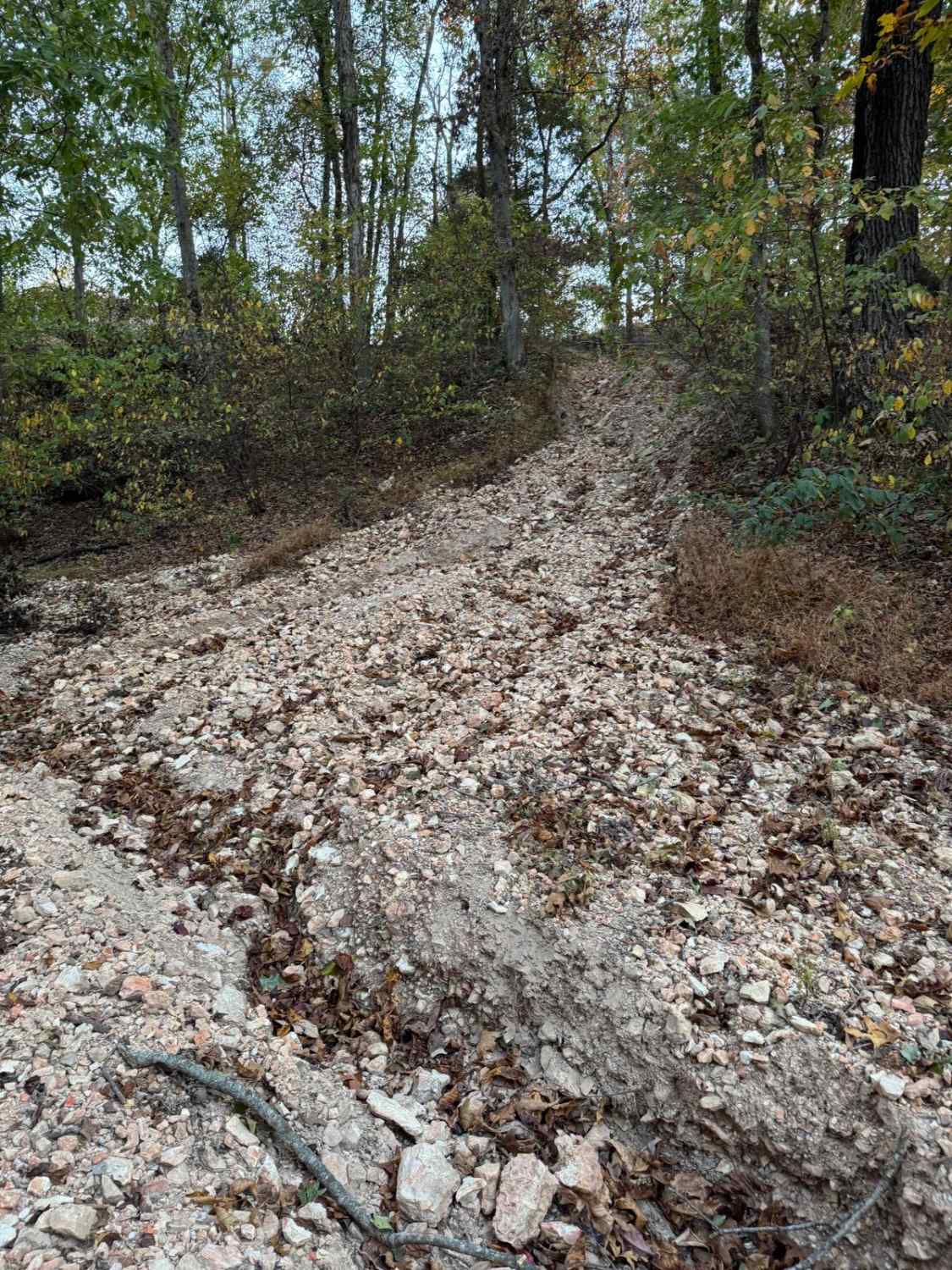
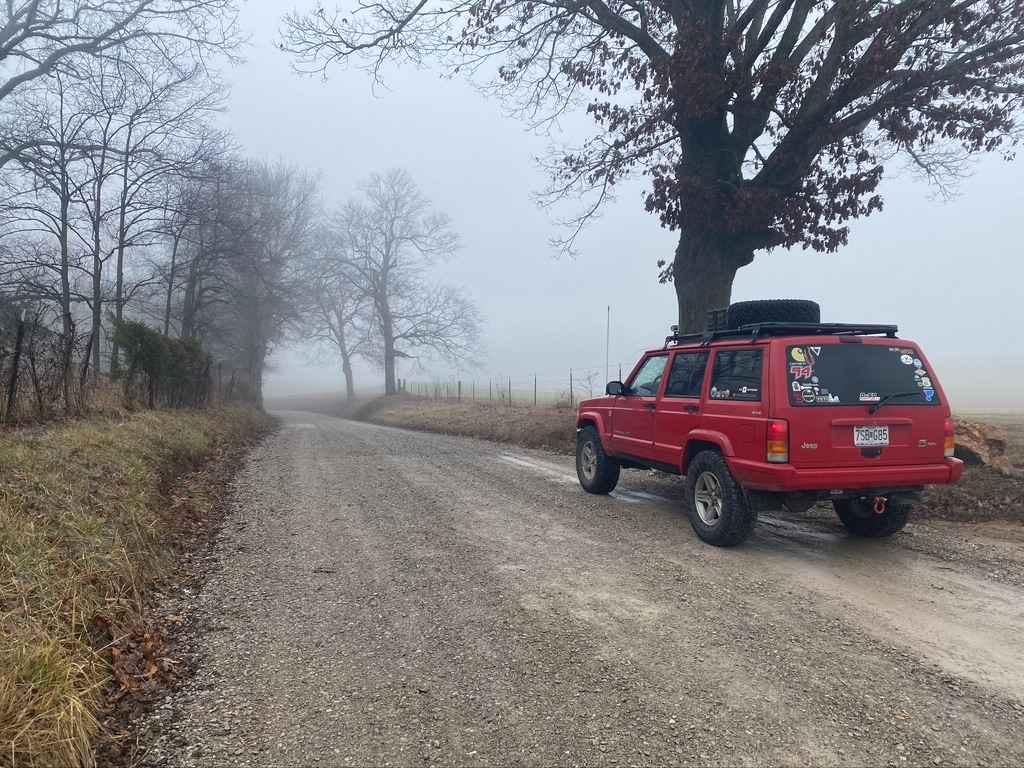
Trail Overview
Wayne County Road 212 is a gravel road traversing the Coldwater Conservation Area, which is managed by the Missouri Department of Conservation. The gravel throughout is coarse and rough, likely being creek gravel, easily forming potholes, washboards, and mounding situations. Along the track, the road follows the ridge between the valley hosting Bear Creek to the south, and Wilmore Creek to the north. The ridge top climbs several small hills with mild forms of erosion in spots before meeting the western endpoint, where the road drops down one final mild hill to the elevation US-67 rests on. The main purpose of the road is to host hunting opportunities and nature viewing, having many cutouts, additional spur roads, and openings throughout the area to enjoy peaceful solitude.
Photos of Wayne - CR 212
Difficulty
The 212 has minimal difficulty, you will experience the usual gravel road complications of potholes, mounding, and washboards throughout the track. You should also expect small natural rocks sticking out at the road surface in places, as well as the coarse creek gravel that is used on Wayne County Roads. The given rating is 1/10 for its simplicity, with only mild grade hills in its track. If the road was left unmaintained and was paired with heavy use and/or heavy rain, the difficulty could push to 2/10 due to erosion on the hills, but this would only happen in extremely rare scenarios.
History
On old topo maps of Coldwater, Missouri in 1980, Piedmont, Missouri in 1986, and Rolla, Missouri in 1989, the area was once referred to as "Coldwater State Forest", but after these maps the name dropped, suggesting that the Missouri Department of Conservation, took over or at minimum renamed the area to fit the more statewide approach of having "Conservation Areas".
Status Reports
Wayne - CR 212 can be accessed by the following ride types:
- High-Clearance 4x4
- SUV
Wayne - CR 212 Map
Popular Trails
Old Plantation Access Road
The onX Offroad Difference
onX Offroad combines trail photos, descriptions, difficulty ratings, width restrictions, seasonality, and more in a user-friendly interface. Available on all devices, with offline access and full compatibility with CarPlay and Android Auto. Discover what you’re missing today!