Waymeyer Landing - NPS 215
Total Miles
0.3
Technical Rating
Best Time
Spring, Summer, Fall, Winter
Trail Type
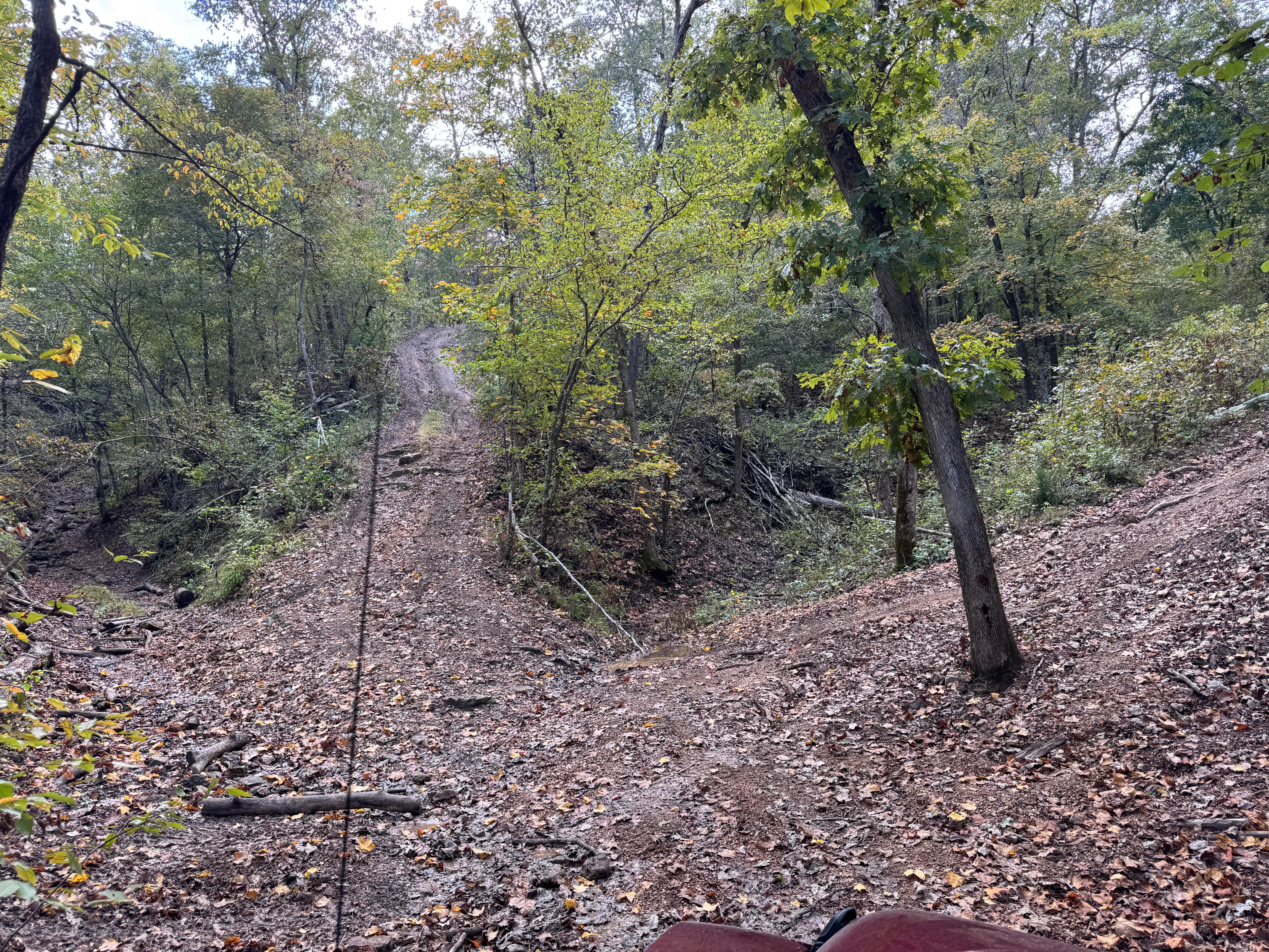
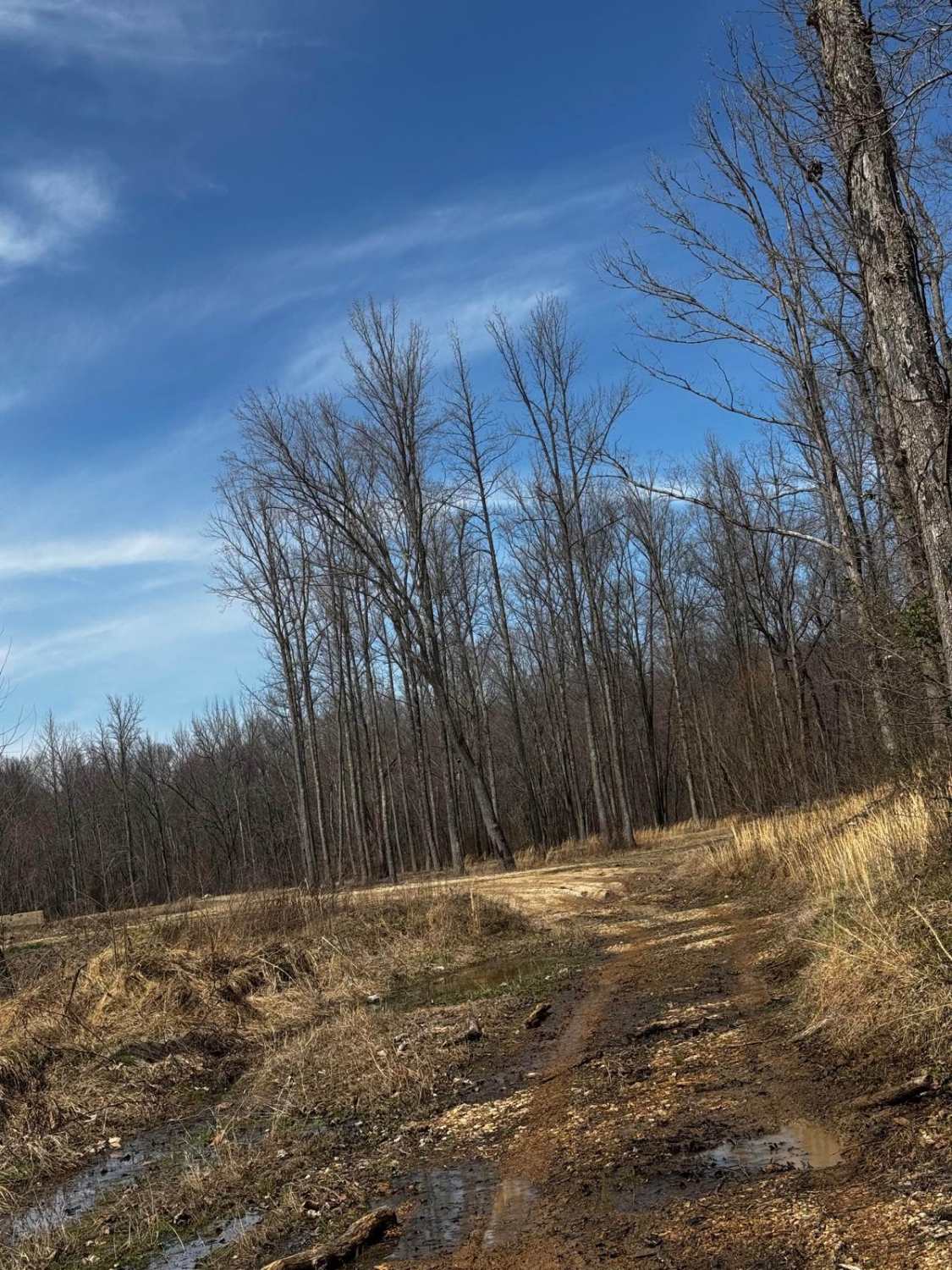
Full-Width Road
Accessible By
Trail Overview
Waymeyer Landing or National Park Service Road 215 is a sand and natural gravel road to the boat launch area of the same name, located along the Current River within the Ozark National Scenic Riverways. The logistical relevance of this road is undeniable, whether running kayaks, tubes, or rigs from/to the northwest in the Eminence area or from/to the southwest to the Van Buren area. The lot can hold upwards of 20 rigs when not in the busy season of Summer, but even in the slow season, there is great use in the paddlesport world of putting in or pulling out watercraft here from the Current River. Plus, there is a vault toilet onsite to add to the convenience list, and the River is very scenic from this spot to top it off!
Photos of Waymeyer Landing - NPS 215


Difficulty
Waymeyer Landing, when in normal dry conditions, is given a base rating of 1/10, generally having a packed sand smooth road with a coarse gravel base underneath and scattered throughout. Expect the potential to have unpacked sections of the sand, with even the high potential rating and difficulty increase if the track is wet or recently flooded, sections of the trail will easily hold unpredictable depths of water, if the Current River level at Van Buren, MO is at 10+ feet it is best to avoid using the landing and considering it closed. This water level gauge can be found at https://waterdata.usgs.gov/monitoring-location/07067000/#dataTypeId=continuous-00065-0&period=P30D
History
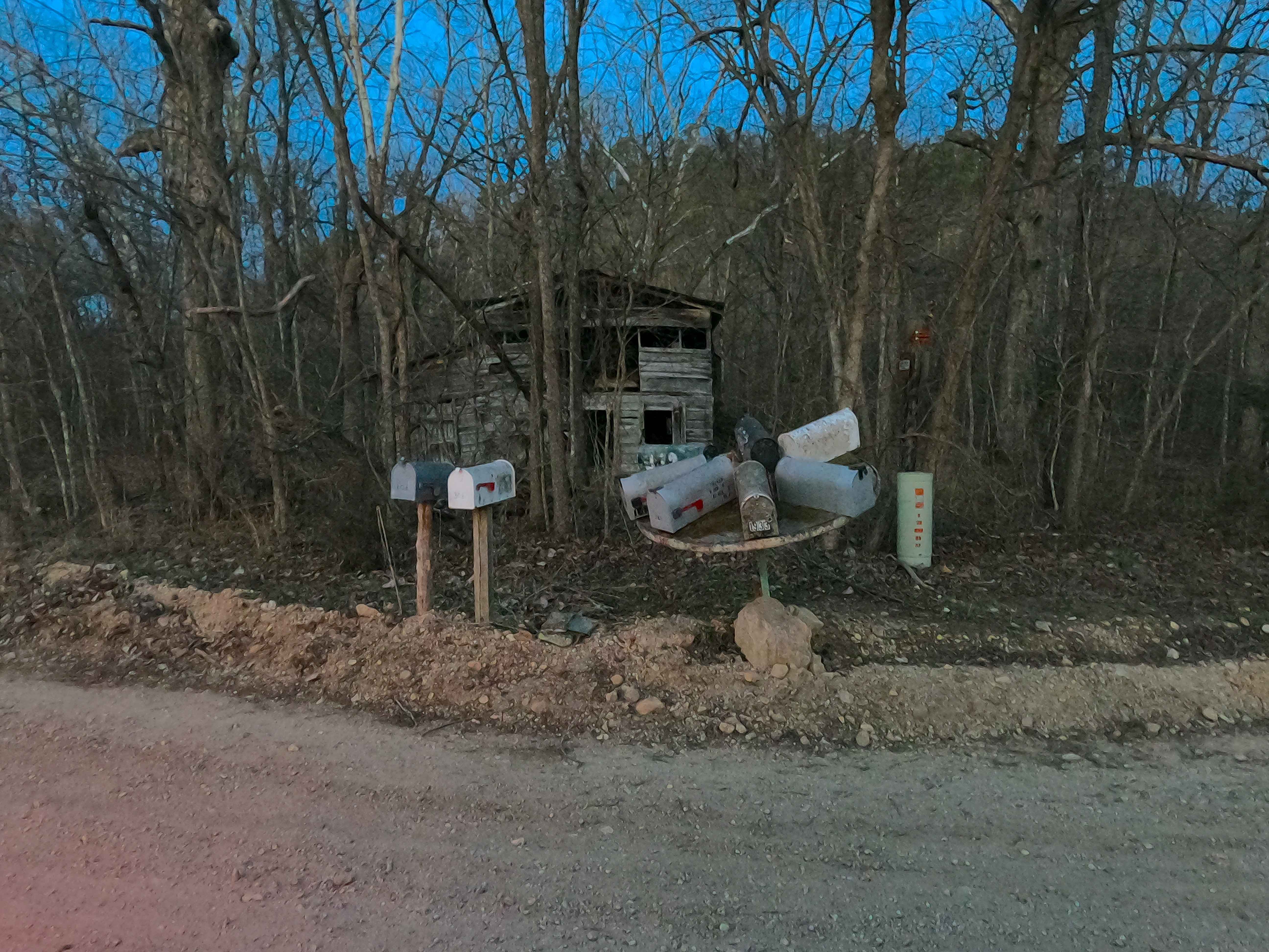
Historically, Waymeyer Chute is known as the location where the water runoff coming downhill (specifically the hill Mid Ridge Road rests on) enters into the Current River. The Landing was eventually built along, and to the west side of this water chute, thus adopting the name Waymeyer. The Landing was originally built for commercial and non-commercial use, but through several floods and constant river erosion being on the outside bend of the river erosion led the National Park Service to propose action to either repair or replace it as the main landing in the area in 2007. Move forward to 2021, Waymeyer was relieved of being a commercial use landing, with the former Pin Oak campground being transformed into the new commercial-only landing, and an additional non-commercial landing being built next to Pin Oak called the Chilton Creek boat launch, both of these locations being on the inside bend of the river, seeing far less erosion on their banks. Waymeyer, as of 4/2025, is still open for use, but it still sees far more flooding and erosion activity than the newer upstream landing locations.
Status Reports
Waymeyer Landing - NPS 215 can be accessed by the following ride types:
- High-Clearance 4x4
- SUV
Waymeyer Landing - NPS 215 Map
Popular Trails

Coffee Crossing
West Ridge North
Hillside Climb Access
Mailbox Carousel - RCR 826
The onX Offroad Difference
onX Offroad combines trail photos, descriptions, difficulty ratings, width restrictions, seasonality, and more in a user-friendly interface. Available on all devices, with offline access and full compatibility with CarPlay and Android Auto. Discover what you’re missing today!