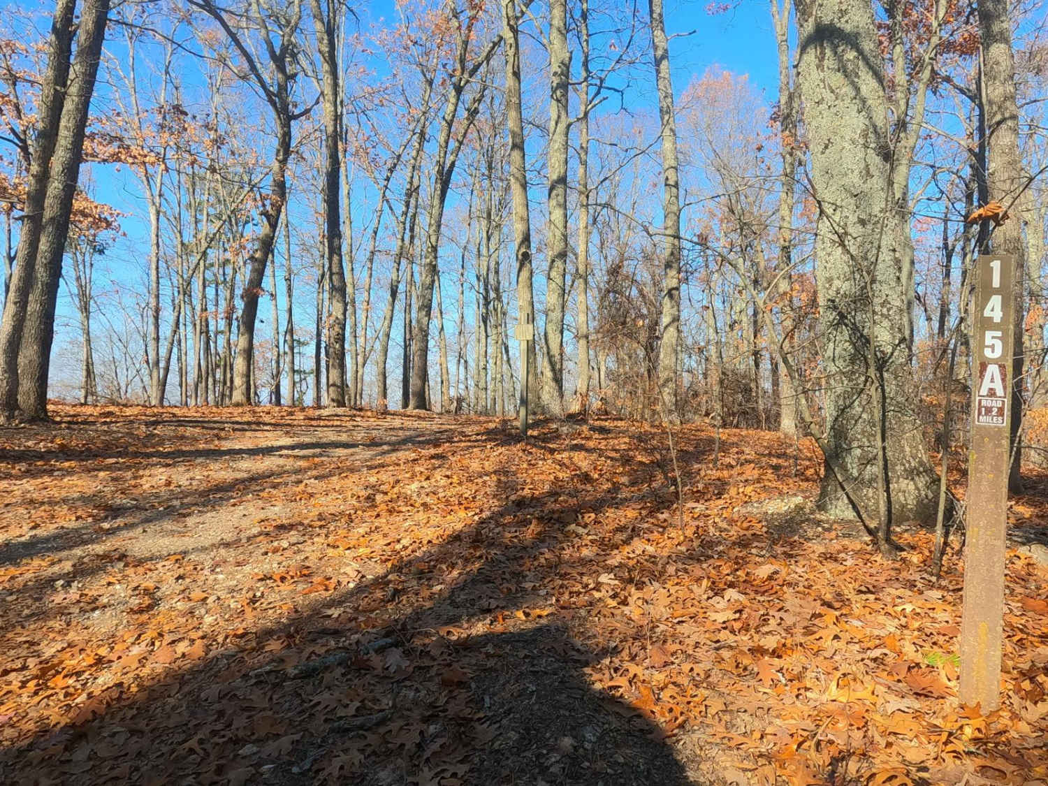
Waterhole - FS 145A
Total Miles
1.2
Technical Rating
Best Time
Spring, Summer, Fall, Winter
Trail Type
Full-Width Road
Accessible By
Trail Overview
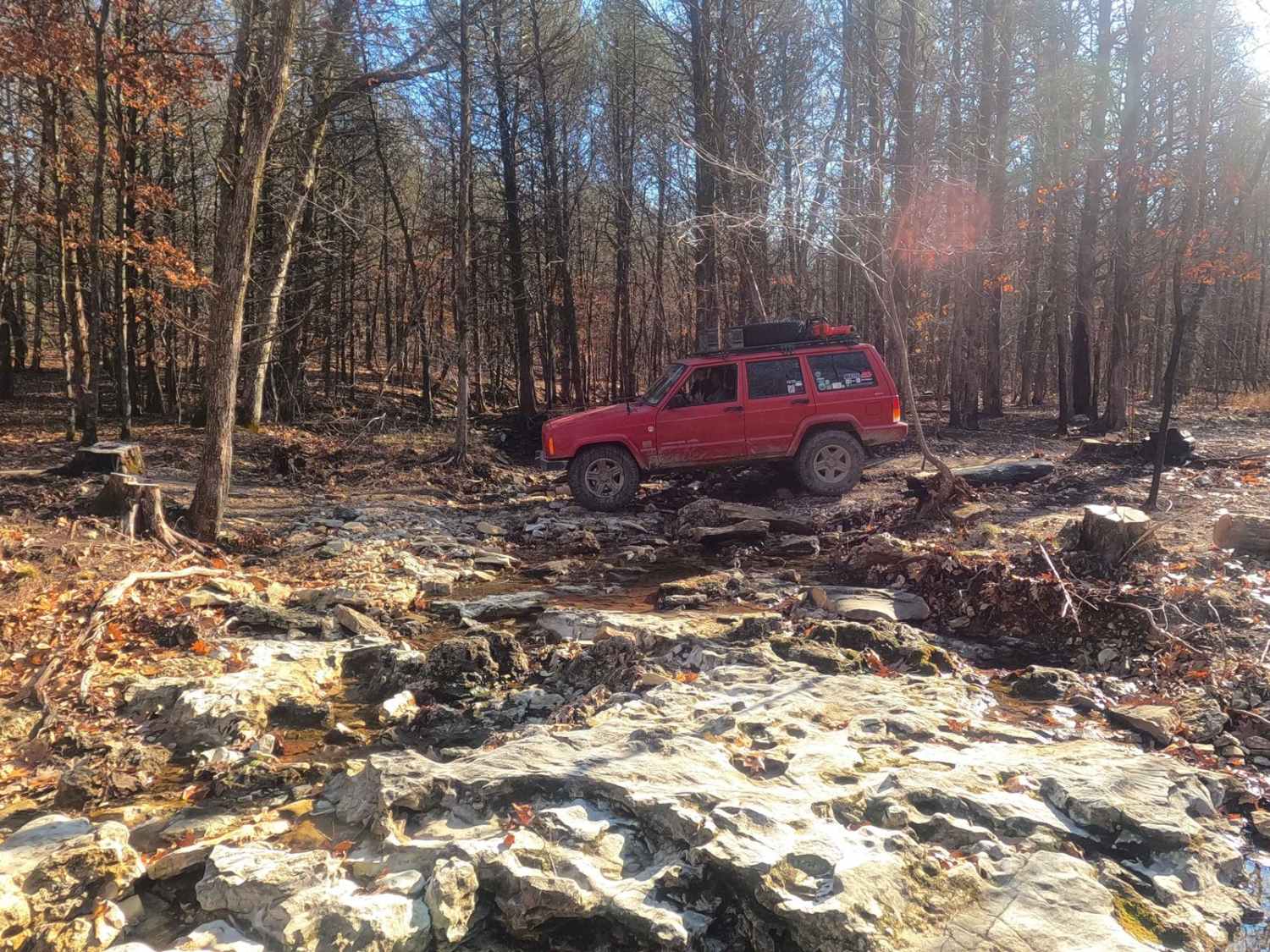
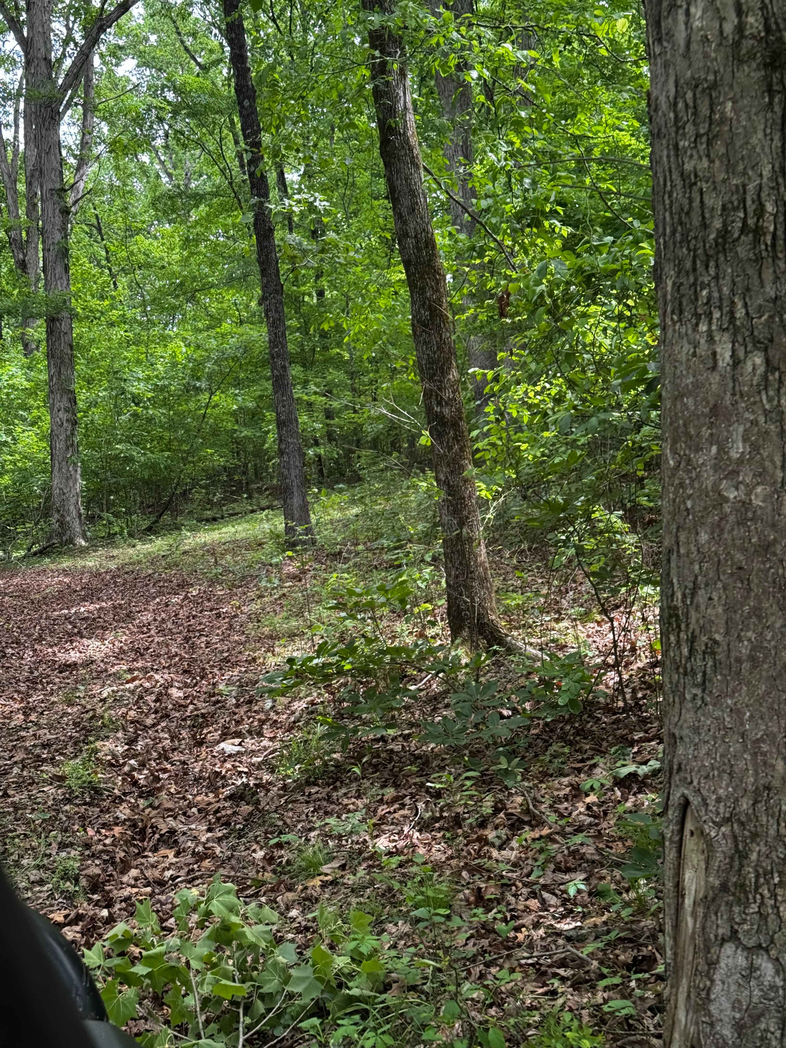
Waterhole FS 145A is a natural terrain forest service road within the Mark Twain National Forest Ava Unit. This is a secondary spur road off the primary road Pond Fork FS 145, both are part of the larger Glade Top Scenic Byway area and ultimately connect to the Glade Top North FS 147. The FS 145A leads from the ridgetops to Waterhole Hollow in the valley north of the Pond Fork FS 145, ultimately ending along a feeder creek contributing to the Bear Branch. The trail features a natural terrain trail, of coarse natural gravel mixed with dirt, eventually having large cobbles and mild rock shelves before ending at the potentially wet and muddy creek bottoms at the end of the MVUM-sanctioned track. Due to recent history, the FS 145A gives a good context to the destructive force of a wildfire and has portions where one or both sides of the trail are barren and charred.
Photos of Waterhole - FS 145A
Difficulty
Waterhole FS 145A is given a base rating of 3/10, featuring a natural coarse gravel and dirt pathway, with small rock ledges ranging from 6-12" in height, mild forms of active erosion, potential surface mud, a moderately steep grade, and some large cobble rocks (6-10") in the pathway, the creek bottoms will likely have water collection, and mild mudholes and water collection spots ranging in the 6 to 12", in wet condition scenarios upwards of 18 to 24" depth, during these times difficulty would increase. Expect all the normal gravel road complications in potholes, mounding, and washboards. Unsung difficulties, there are some tight turns, potentially requiring multipoint turns, and some trees on the sides of the path are rather tight, expect pinstriping, especially if using a larger vehicle.
History
On October 28th, 2024, wildfires were reported in the Fond Pork/North Glade Top area, with the quick action of the Mark Twain firefighters the fire was 100% contained 3 days later on the 31st, roughly affecting 1611 acres of land, and is now noted as the Sugar Fire of 2024. Waterhole FS 145A was used as a fire break, despite that several portions of this road were burned on both sides as this was the center of the fire's total reach.
Status Reports
Waterhole - FS 145A can be accessed by the following ride types:
- High-Clearance 4x4
- SUV
Waterhole - FS 145A Map
Popular Trails

Upper Field Trail
Blooming Rose - FS 1503
Wolf Bayou Road
Hillside Back Side to Gate
The onX Offroad Difference
onX Offroad combines trail photos, descriptions, difficulty ratings, width restrictions, seasonality, and more in a user-friendly interface. Available on all devices, with offline access and full compatibility with CarPlay and Android Auto. Discover what you’re missing today!