Wolf Bayou Road
Total Miles
1.3
Technical Rating
Best Time
Spring, Summer, Fall, Winter
Trail Type
Full-Width Road
Accessible By
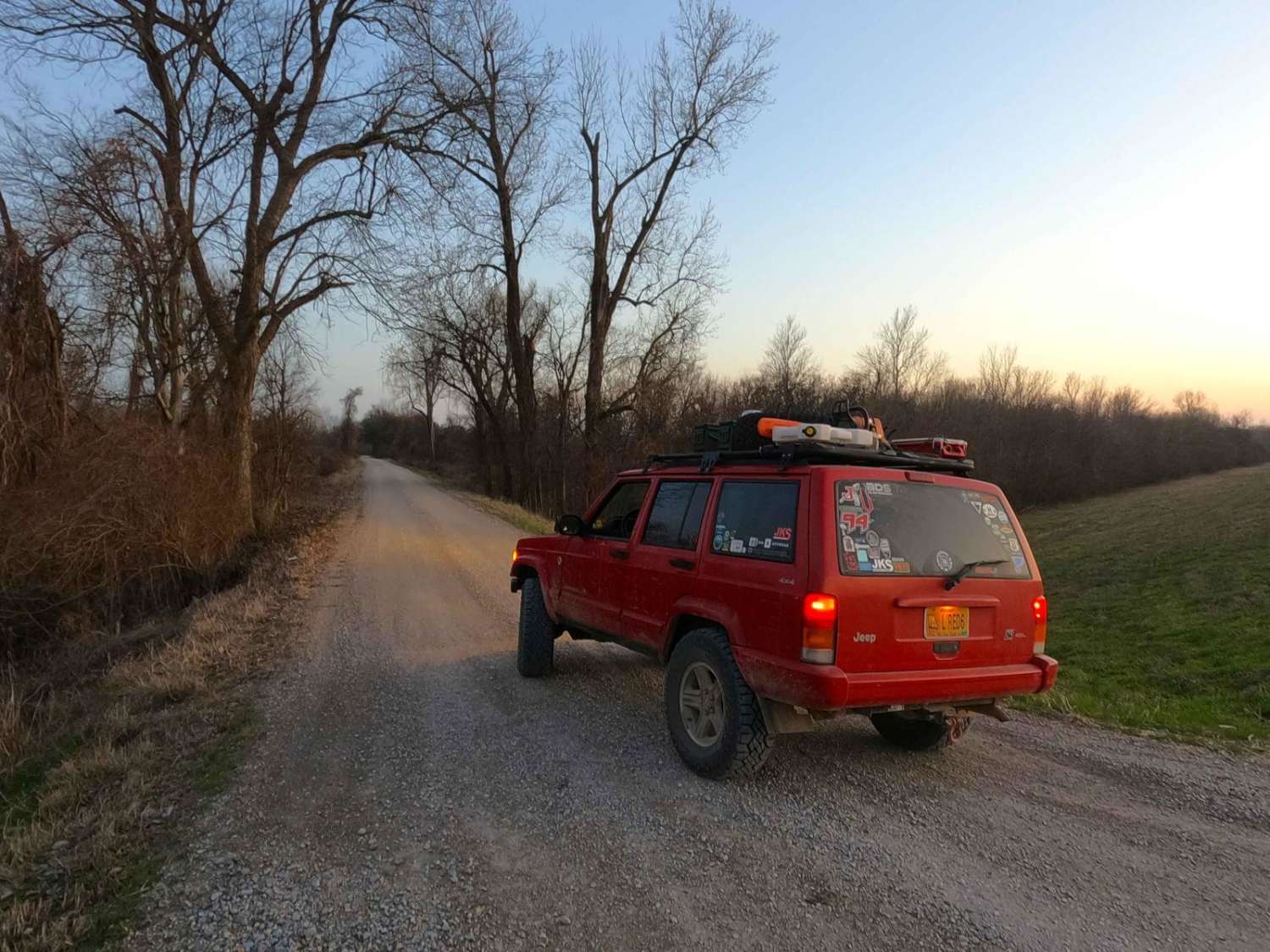
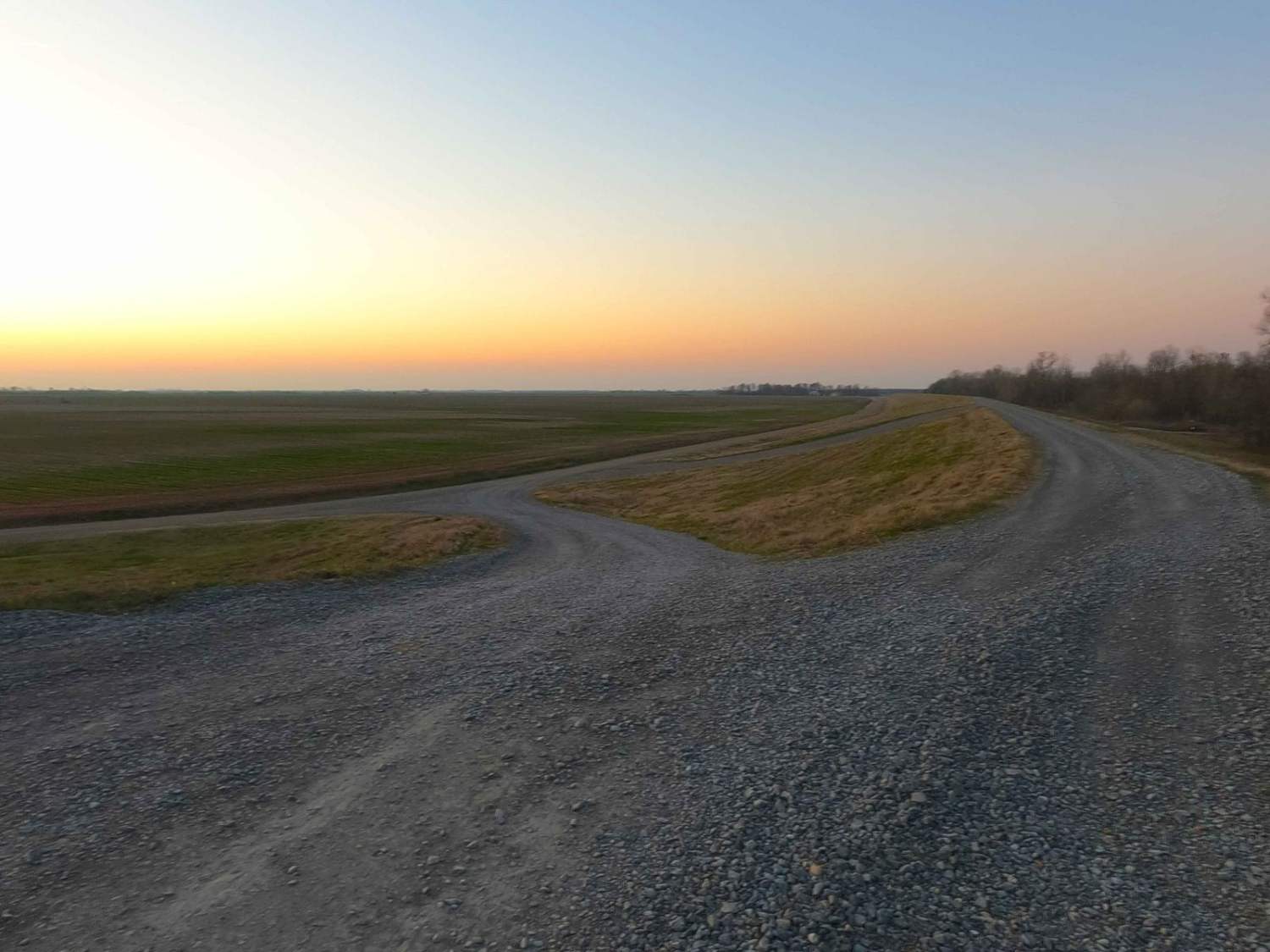
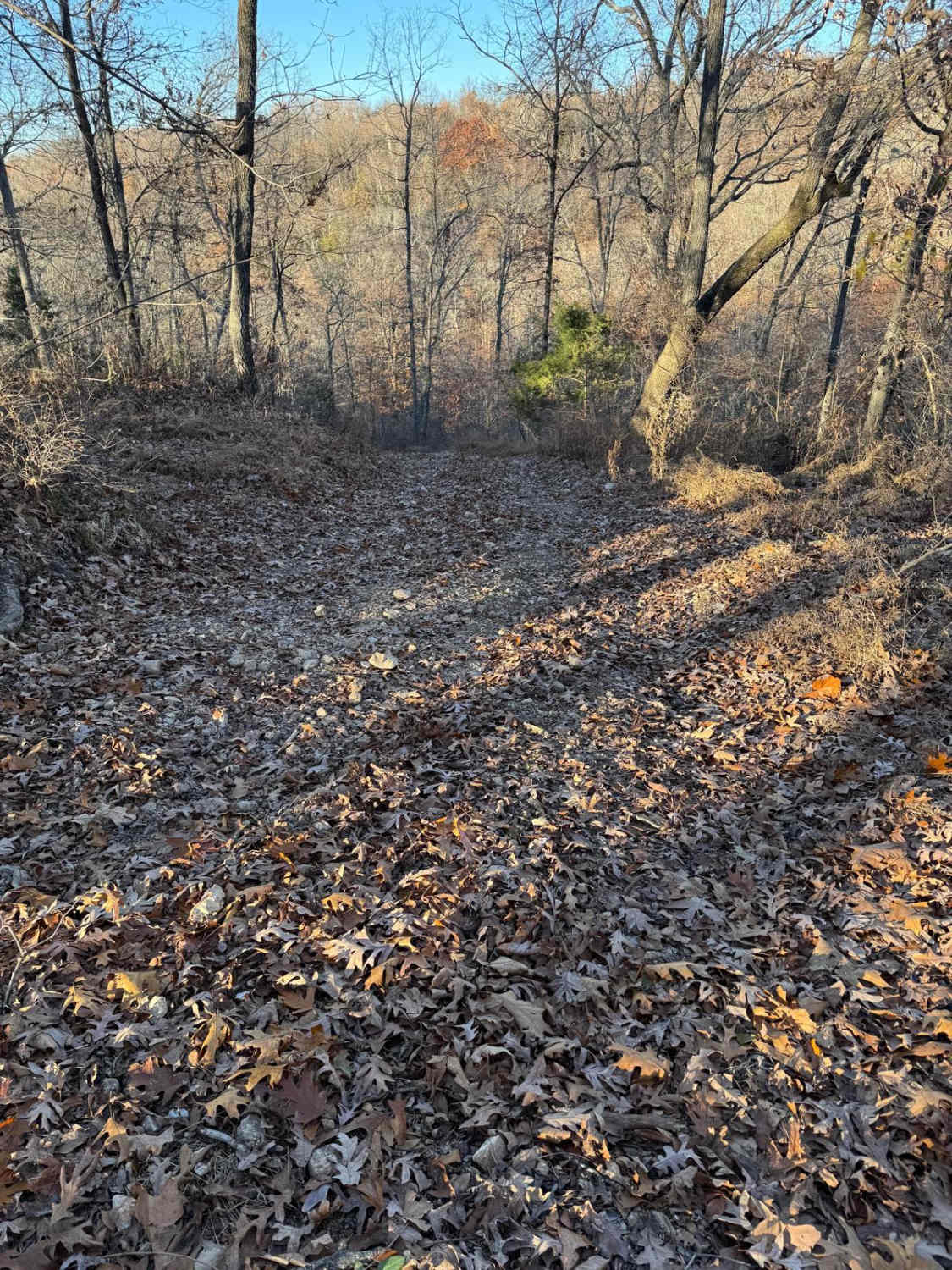
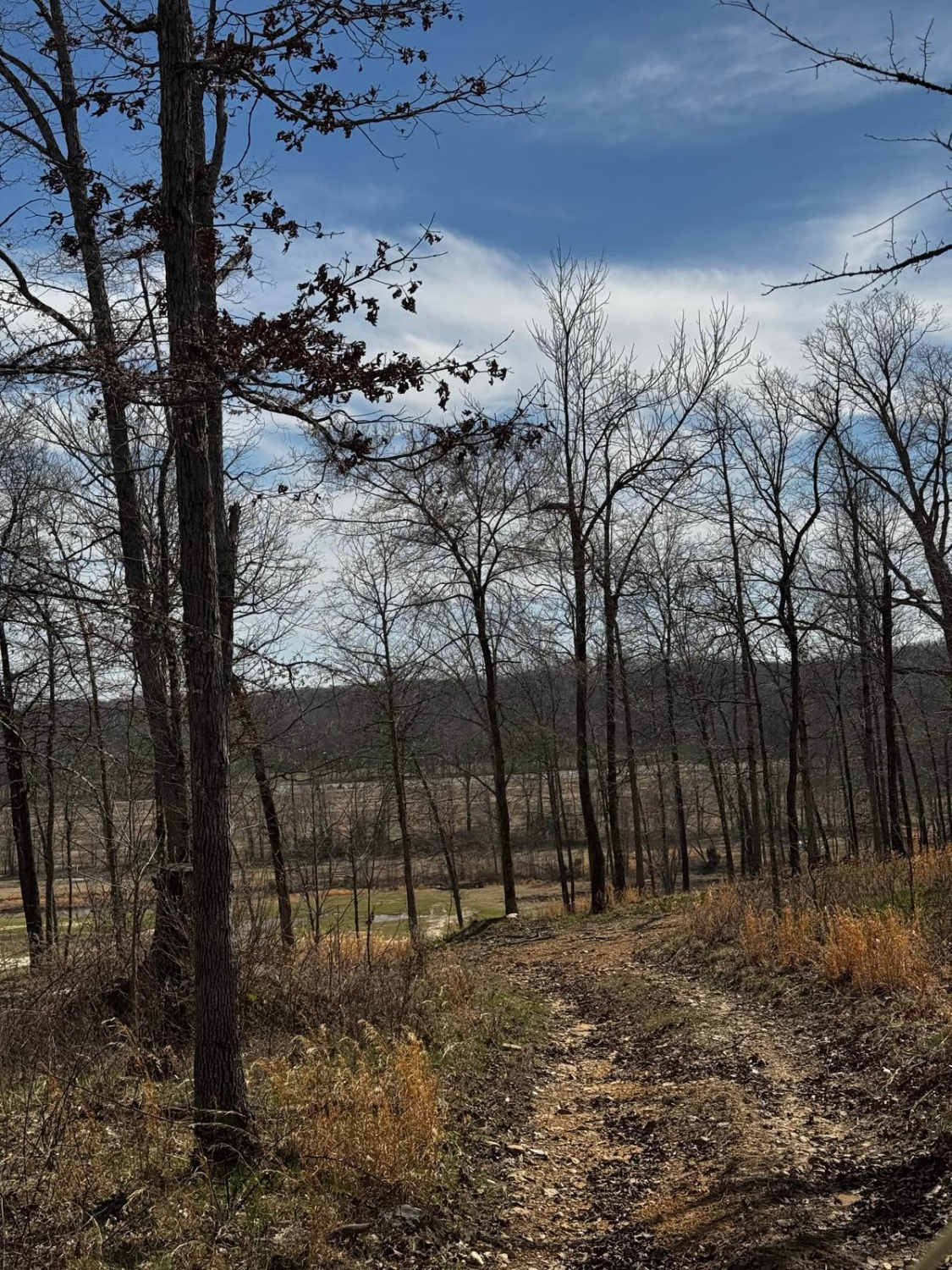
Trail Overview
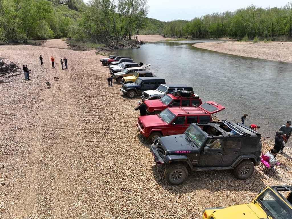
Wolf Bayou Road is a gravel access road to the Wolf Bayou section of the greater Black Island Conservation Area, managed by the Missouri Department of Conservation. The Wolf Bayou is a fish lover's and waterfowl hunter's little hidden gem, featuring several water channels to access the rest within the Mississippi River floodplain, yielding a unique habitat of swamp-like soil and narrow yet deep straights of water to navigate and enjoy via boat. The gravel road is simple and mild, only featuring mild slopes up the levy and the short hills it rests on. Mid track, there is a parking area on the east side of the main road, providing on-foot access to one of the eastern/northern end of a bayou water channel. On the southernmost parking lot, there are picnic tables and two boat ramps to put boats in the channels of the Wolf Bayou. Restrictions include daily use hours of 4 AM to 10 PM, no camping, no swimming, electric boat motors only, non-toxic shot use only, and when the Mississippi River level gauge at Carutherville is at 28 feet or higher, all public use is prohibited, except fishing and waterfowl hunting by boat only. That River level gauge can be found at https://water.noaa.gov/gauges/crtm7 In use, this makes a great place to recreate via sport all the way to enjoying a lunch in solitude amongst the swampy habitat that thrives, expressing its liveliness through a unified background sound.
Photos of Wolf Bayou Road
Difficulty
Wolf Bayou is given a base rating of 1/10 for having a generally maintained gravel road, only featuring mild grades on the levy and hills on the road. Expect the normal gravel complications of washboarding, potholes, and mounding of gravel. In wet conditions, small water collection can occur, but it is nothing more than a splash; only in extreme cases would difficulty increase. Keep an eye on the Mississippi River level gauge at Caruthersville for major flooding events that could affect/close the area, flood stages begin at 28 feet, the gauge website can be found here https://water.noaa.gov/gauges/crtm7
History
On the 1939 Topo map of Portageville, MO, there is a note on the map showing an old Mississippi River "Meandor" located just east of the Wolf Bayou at 36.318, -89.630, it also has the years dated "1857 & 1875" at the same location, while a later edition of the topo in 1973, calls this leg (spur off of the larger body of water) of the Wolf Bayou, "Mud Bayou". What is more interesting to the offroad crowd is that present on this same 1939 Portageville, MO topo up to the modern day Stanley, MO 2021 edition topo has a road noted going to the "Meander" area, and appears to start at the current-day midway parking area and continued east towards the river, yet at the parking area this is not open to vehicles or OHV accessible. The word "Pemiscot" comes from a Native American word meaning "liquid mud". The whole bootheel of Missouri used to be one giant swamp, and in 1893, Missouri's General Assembly created the Saint Francis Levee District to alleviate the land of constant flooding and to raise habitable levels.
Status Reports
Wolf Bayou Road can be accessed by the following ride types:
- High-Clearance 4x4
- SUV
Wolf Bayou Road Map
Popular Trails
Hilllside Backtrack
Funk Branch Delta

The onX Offroad Difference
onX Offroad combines trail photos, descriptions, difficulty ratings, width restrictions, seasonality, and more in a user-friendly interface. Available on all devices, with offline access and full compatibility with CarPlay and Android Auto. Discover what you’re missing today!