Wayne - CR 207
Total Miles
4.8
Technical Rating
Best Time
Spring, Summer, Fall, Winter
Trail Type
Full-Width Road
Accessible By
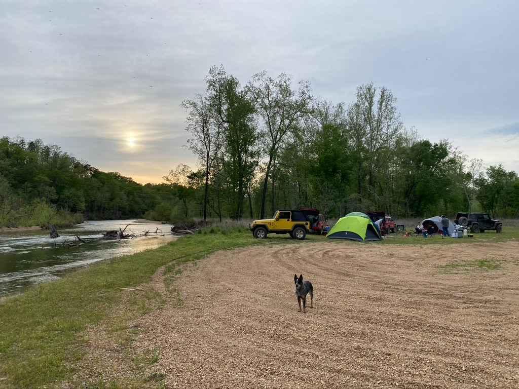
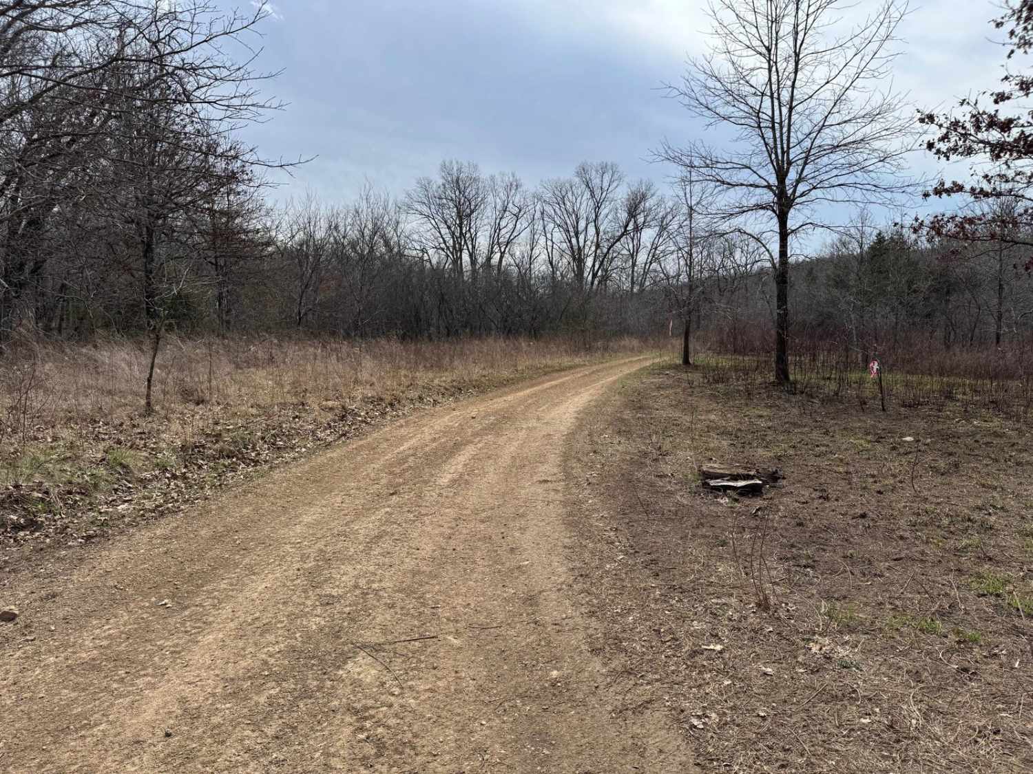
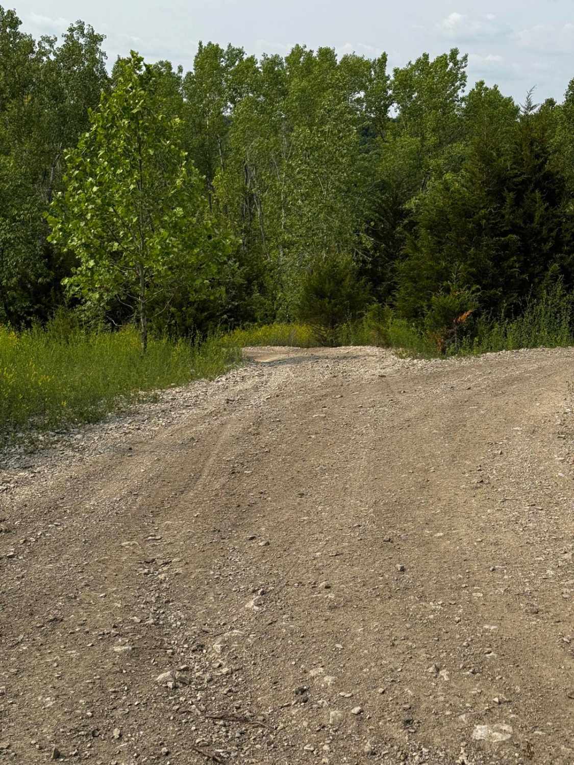
Trail Overview
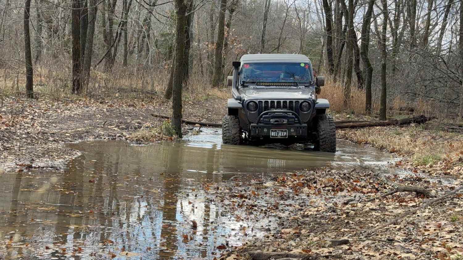
Wayne County Road 207 is a gravel road that traverses the Wayne County Land, and the Coldwater Conservation Area, managed by the Missouri Department of Conservation. The Wayne County portion of the 207's southern track rests in a valley paralleling Bear Creek, where a few low-water bridges cross other feeder creeks in the area. The gravel throughout, but especially in the valley section, is coarse and rough, likely being creek gravel, easily forming potholes, washboards, and mounding situations. On the northern side of the track, where the Coldwater CA is, the road climbs one large hill, going up at the track's middle point and then back down to roughly the same elevation, at the track's northern endpoint at Missouri Route EE. The main purpose of the road is to host hunting opportunities and nature viewing, having many cutouts and openings throughout the area to enjoy peaceful solitude.
Photos of Wayne - CR 207


Difficulty
The 207 has minimal difficulty, you will experience the usual gravel road complications of potholes, mounding, and washboards throughout the track. You should also expect small natural rocks sticking out at the road surface in places, as well as the coarse creek gravel that is used on Wayne County Roads. The given rating is 1/10 for its simplicity, with one mild grade hill, and small water splash points if wet or inclement conditions are in the area. If the road was left unmaintained and was paired with constant heavy rain, causing serious flooding of the Bear Creek, the difficulty could push to 2/10 due to water, but this would only happen in extremely rare scenarios.
Status Reports
Wayne - CR 207 can be accessed by the following ride types:
- High-Clearance 4x4
- SUV
Wayne - CR 207 Map
Popular Trails
Whizenhunt Bottoms
Gary Hollow - FSR 510A
The onX Offroad Difference
onX Offroad combines trail photos, descriptions, difficulty ratings, width restrictions, seasonality, and more in a user-friendly interface. Available on all devices, with offline access and full compatibility with CarPlay and Android Auto. Discover what you’re missing today!