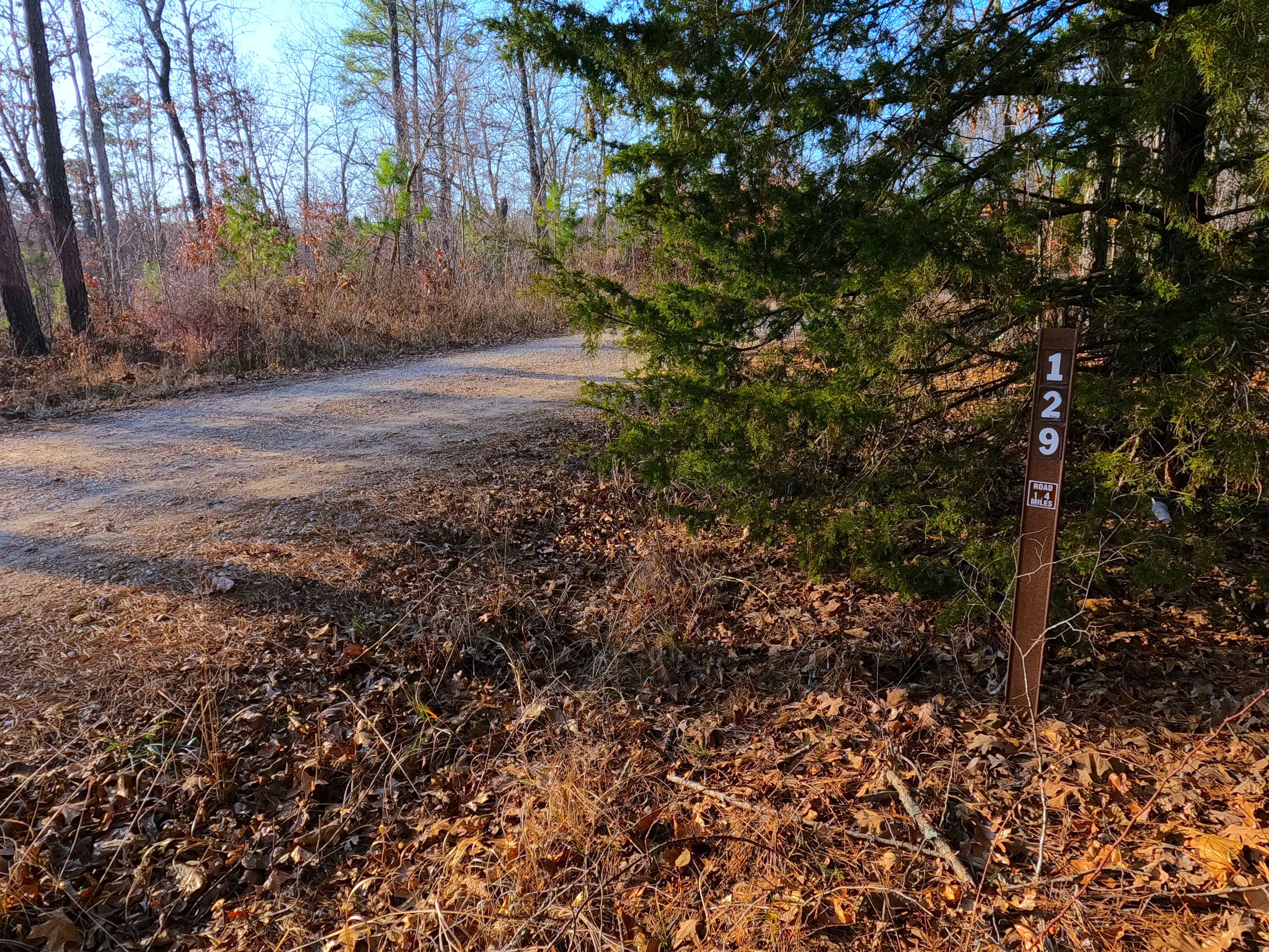
Upper Greasy Creek - FS 129
Total Miles
1.4
Technical Rating
Best Time
Spring, Summer, Fall, Winter
Trail Type
Full-Width Road
Accessible By
Trail Overview
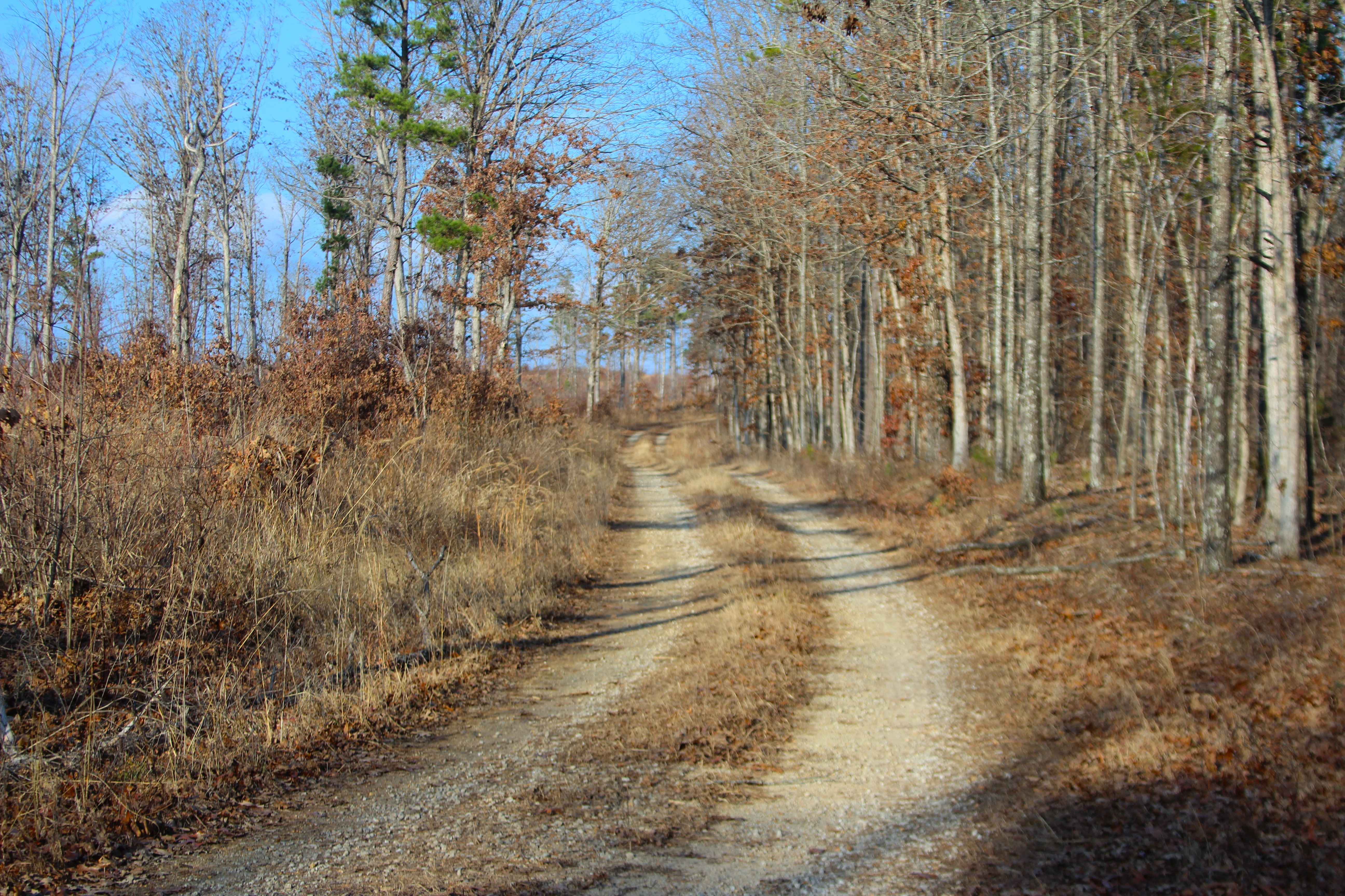
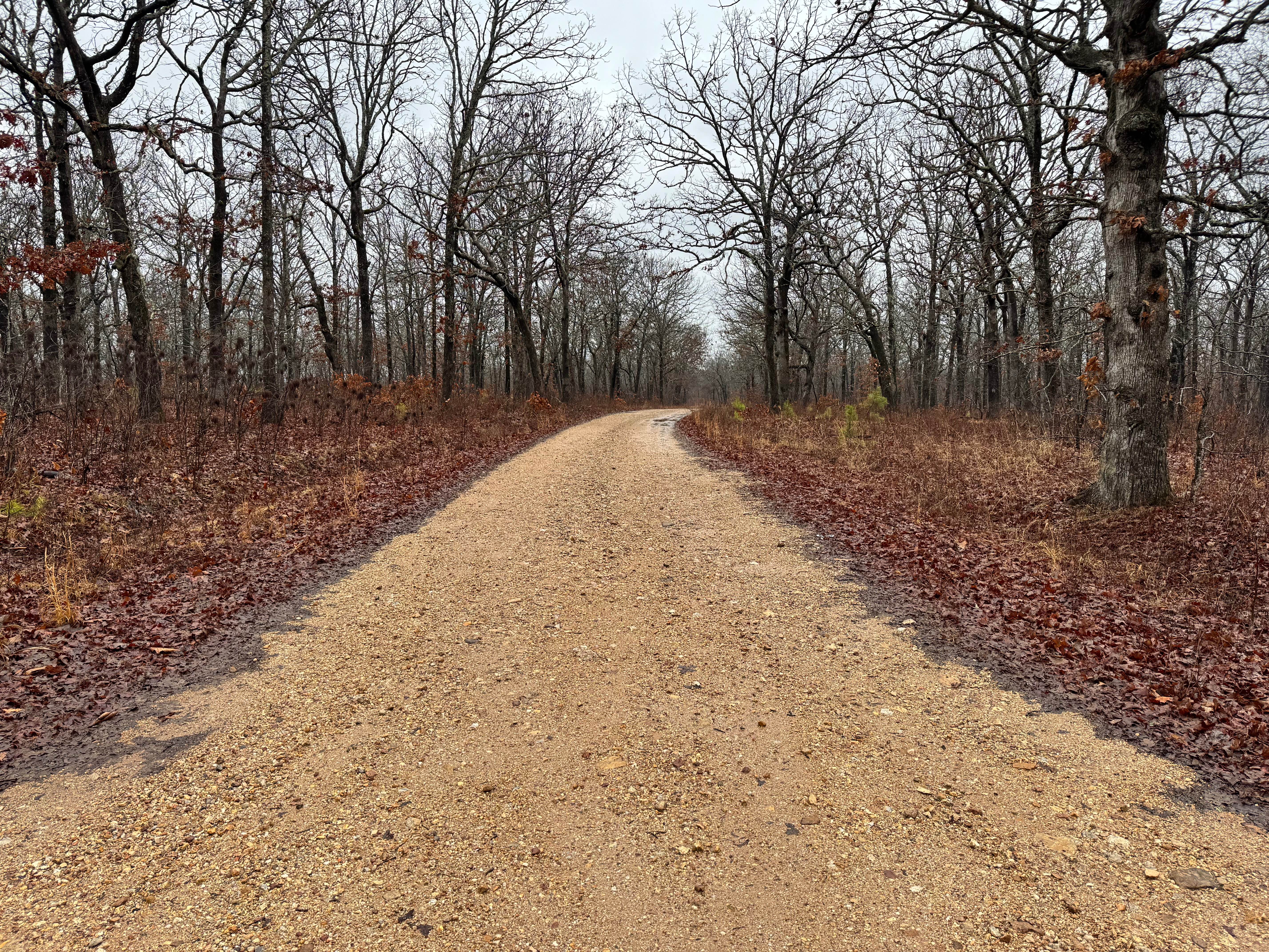
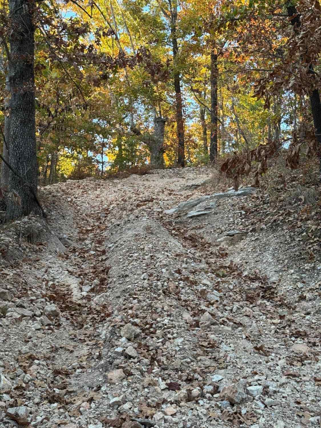
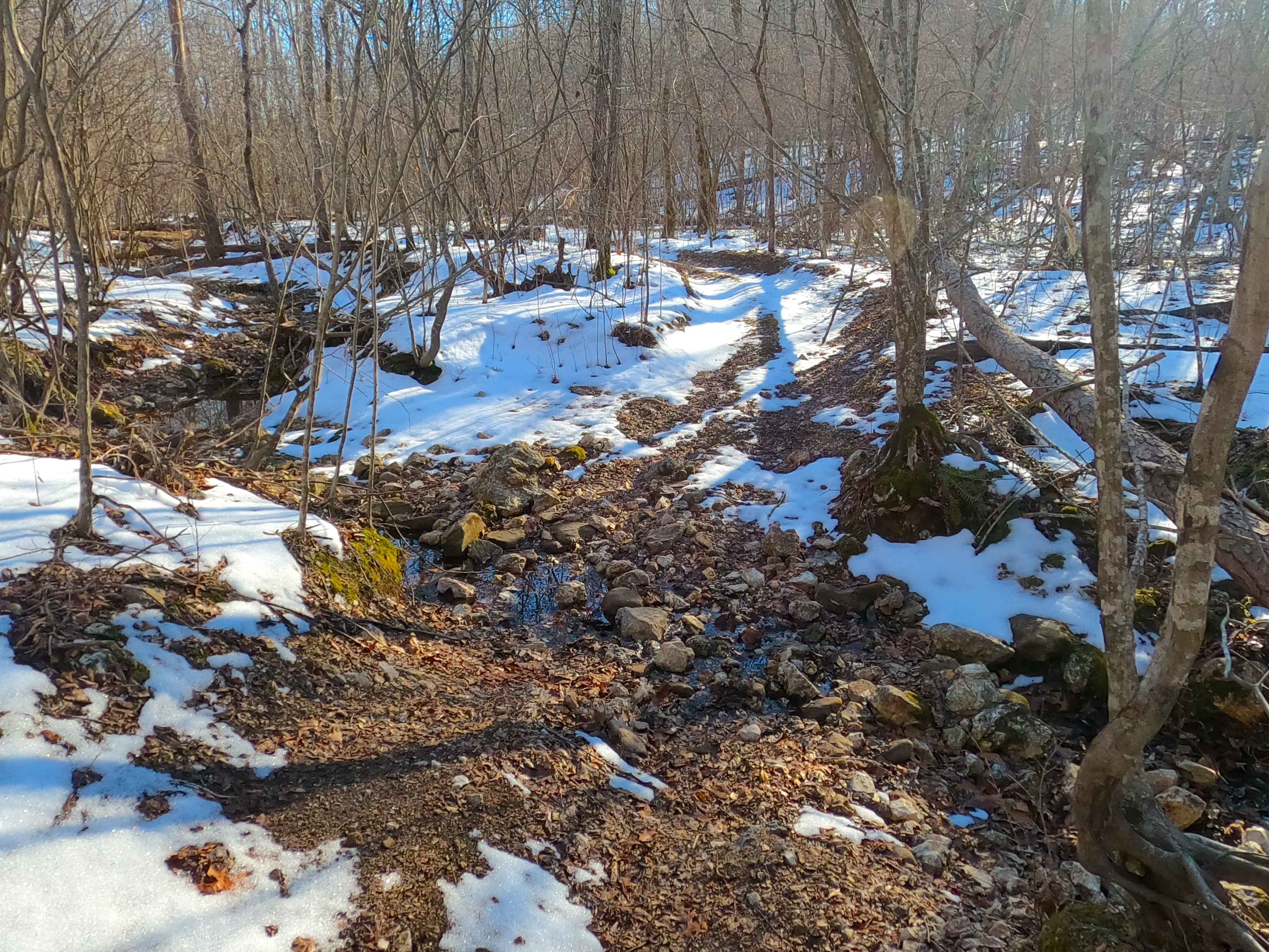
Upper Greasy Creek (FS 129) is a gravel Forest Service road within the Mark Twain National Forest Willow Springs Unit. Upper Greasy Creek begins by turning northwest off Missouri Route 181, first turning hard north on clean gravel, to quickly realign hard west, to climb the main grade of the track, having only mild washes present. This hill passes by a recently logged section of forest, providing a widespread view to the north at its peak. The road continues west slowly, going mostly downhill over a curvy, winding coarse gravel road that occasionally has erosion washes and ruts, and spots where the gravel fades completely to dirt, and potential surface mud. The track ends at a large opening where a logging operation must have been set up during a harvesting project. Users must turn around and head back out the way they entered.
Photos of Upper Greasy Creek - FS 129
Difficulty
Upper Greasy Creek is given a base rating of 2/10, for having coarse gravel over the mildly graded hills, small erosion ruts that cross the path, and spots where the gravel fades to soft dirt. It is safe to expect all the normal gravel road complications of potholes, washboards, and mounding of gravel. Difficulty can increase in times of wet or inclement conditions, heavy use, and through a lack of maintenance, likely having temporary water collection spots at splash depth. Difficulty could drop with some mending and maintenance, such as fresh gravel from end to end.
Status Reports
Upper Greasy Creek - FS 129 can be accessed by the following ride types:
- High-Clearance 4x4
- SUV
- SxS (60")
- ATV (50")
- Dirt Bike
Upper Greasy Creek - FS 129 Map
Popular Trails
Yellow 39

Purple 58
Sutton Bluff ATV 6 - SB 6
The onX Offroad Difference
onX Offroad combines trail photos, descriptions, difficulty ratings, width restrictions, seasonality, and more in a user-friendly interface. Available on all devices, with offline access and full compatibility with CarPlay and Android Auto. Discover what you’re missing today!