Sutton Bluff ATV 6 - SB 6
Total Miles
2.6
Technical Rating
Best Time
Spring, Summer, Fall, Winter
Trail Type
50" Trail
Accessible By
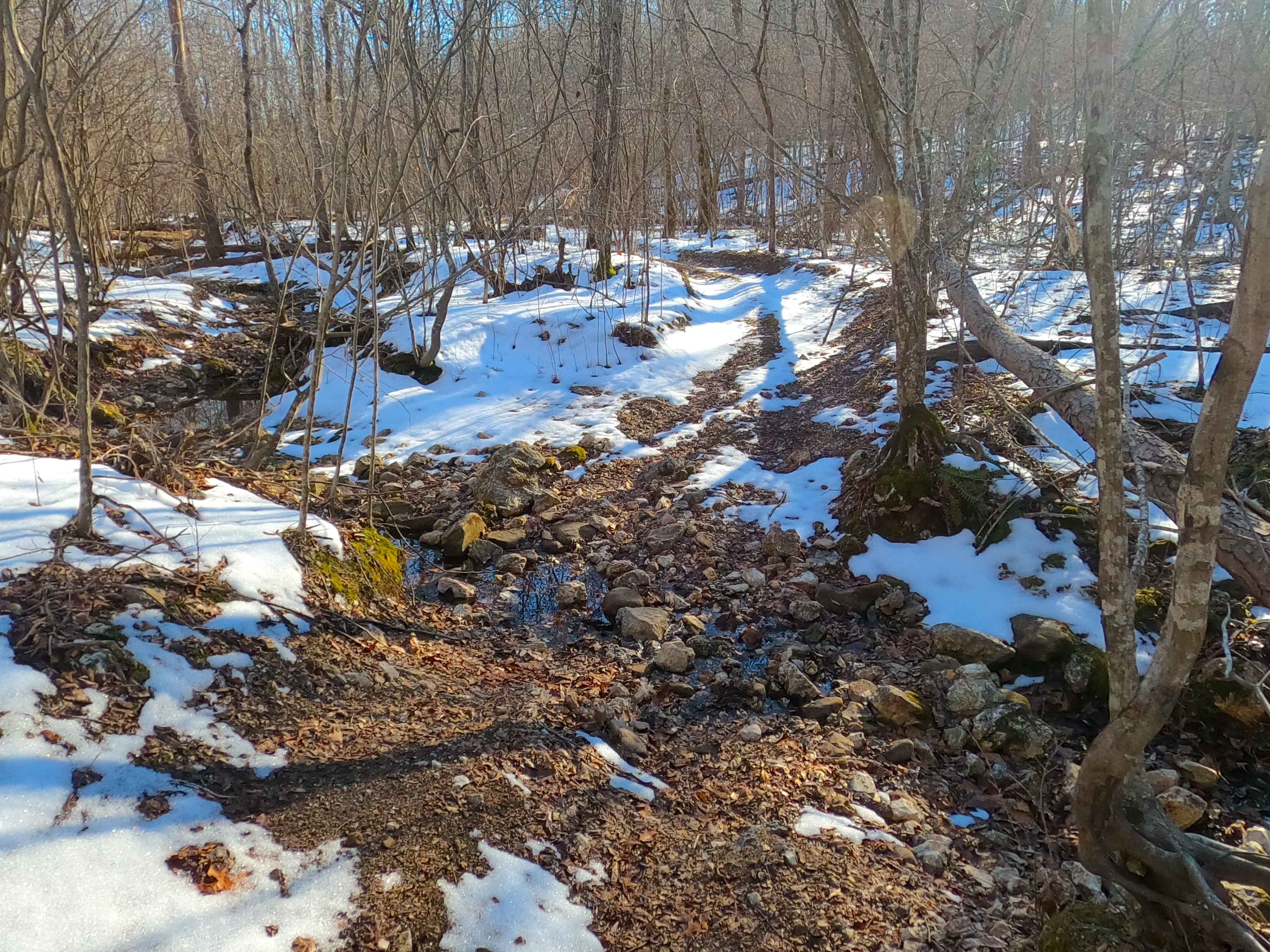
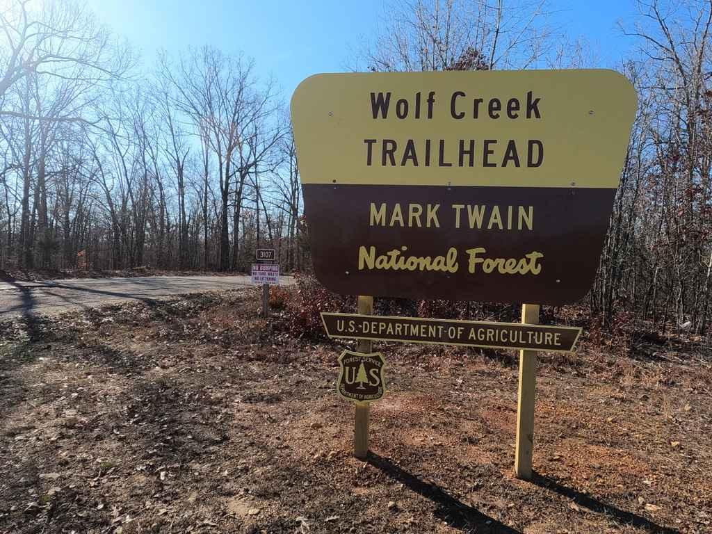
Trail Overview
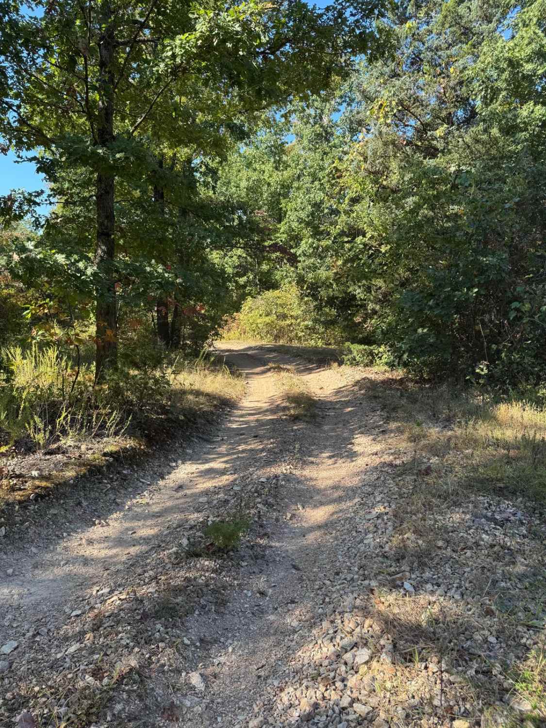
Sutton Bluff ATV 6, also known as Cash Branch, with the legal/emergency ID SB 6, is a 50-inch and under restricted trail within the Sutton Bluff OHV trail system, managed by the Mark Twain National Forest Salem Unit. The SB 6 is a part of the "far east section" of Sutton Bluff OHV. Despite most of the trail going north and south, the trail is logistically oriented as an east-to-west trail, connecting between the Karkaghne Scenic Drive and SB 4 North on the west and Reynolds County Road 822 (shortly north of Karkaghne Scenic Drive) on the east. Summary of the SB 6 track, starting from the west entry off the Karkaghne Scenic Drive, going north on the ridge top spines, on a former full-width road, having great views to the east and west, up to a sweeping turn eastward to a small opening area, where the restriction gate exists on the far east side of said opening. This is where the 50-inch trail begins, immediately plunging straight into a steep switchback section, landing in the valley bottoms at the Cash Branch creek, where the trail beings crossing and following along the creek while redirecting southward, climbing slowly in elevation to the final crossing of the Cash Branch, where the trail rapidly increases to a steep grade going uphill to conclude at the east end gate along the Reynolds CR 822. SB 6 notable core elements include steep hilly grades, a natural coarse-gravel-dirt path, featuring whoops, loose cobbles, mini boulders, natural rock slabs, tree roots, water crossings, and small water-collection spots. To enjoy this trail and OHV system, obtain the required Sutton Bluff permit from Mark Twain National Forest, and if intending to use an ATV on Reynolds County Roads to commute between trails, obtain the Reynolds County ATV/UTV permit as well, in accordance with Missouri state laws.
Photos of Sutton Bluff ATV 6 - SB 6
Difficulty
The SB 6 is given a base rating of 3/10, for having small 3-6 inch water crossing and collection spots, with a steep grade on the two hill sections of the track, occasional small 3-12 inch fallen trees, tree roots acting as mini 3-8 inch ledges, loose 4-10 inch cobbles laying loose in the trail, 10 inch to 18 inch mini boulders and natrual slabs present on edges or mostly buried within the ground as part of the path. Difficulty can increase, from heavy use and a lack of maintenance, large 12+ inch fallen trees blocking the trail, in wet or rainy conditions, inclement weather, or from damage sustained from flash flooding, and if actively flooding, consider the trail closed.
Status Reports
Sutton Bluff ATV 6 - SB 6 can be accessed by the following ride types:
- ATV (50")
- Dirt Bike
Sutton Bluff ATV 6 - SB 6 Map
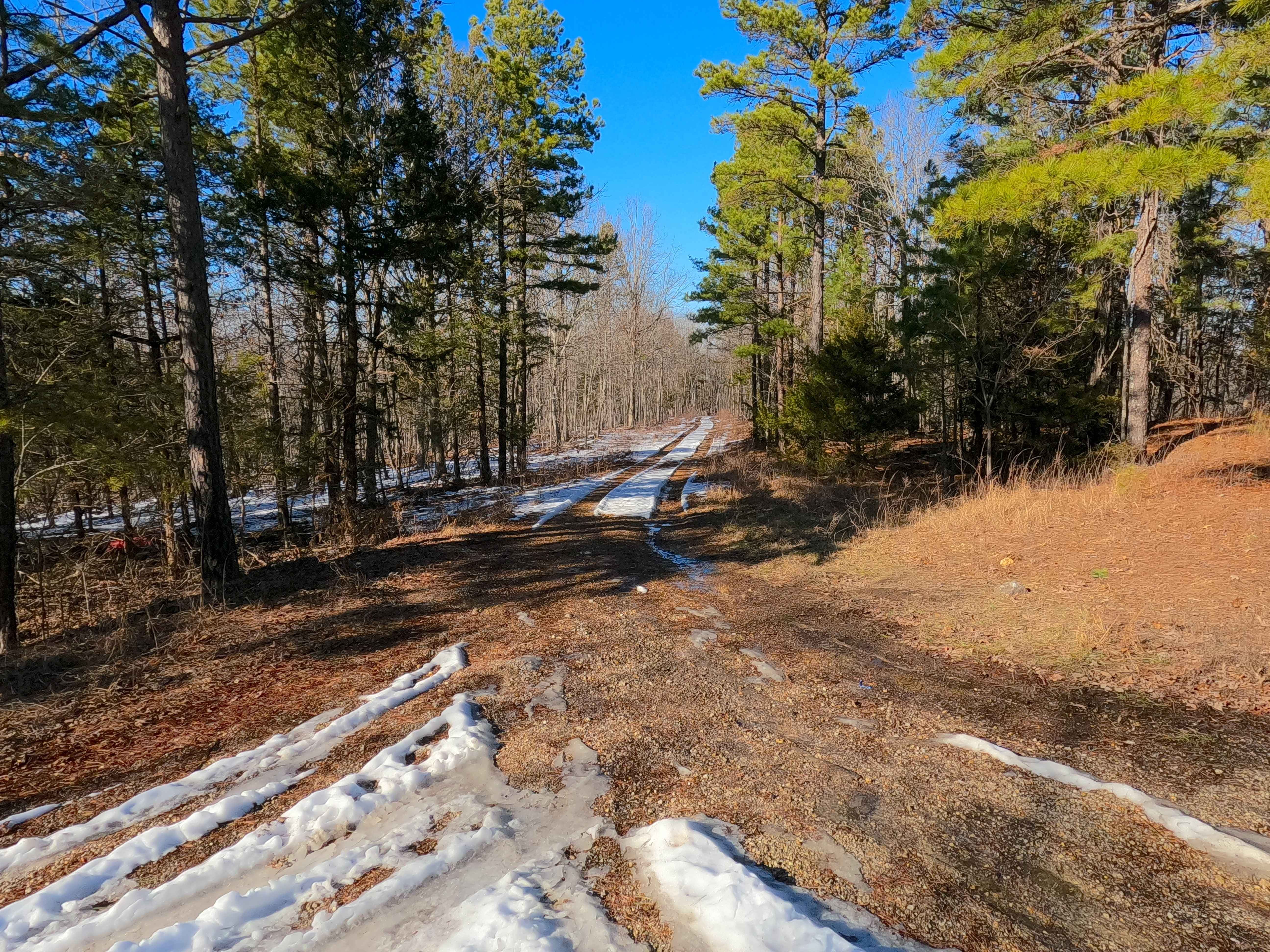
Popular Trails
Wolf Creek FSR 3107

Purple 321
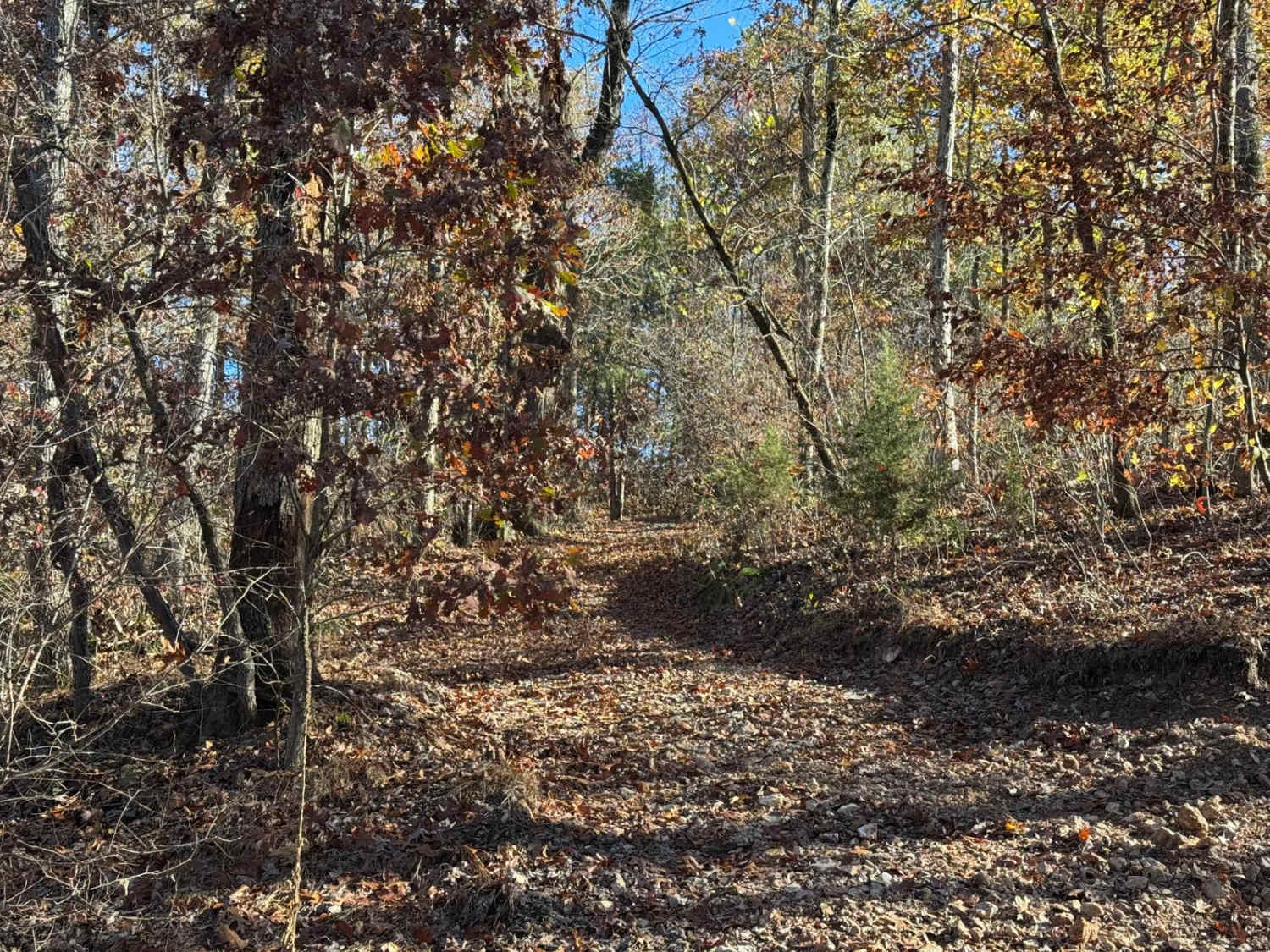
Yellow 18
The onX Offroad Difference
onX Offroad combines trail photos, descriptions, difficulty ratings, width restrictions, seasonality, and more in a user-friendly interface. Available on all devices, with offline access and full compatibility with CarPlay and Android Auto. Discover what you’re missing today!