Off-Road Trails in Missouri
Discover off-road trails in Missouri

Learn more about Thomas Lane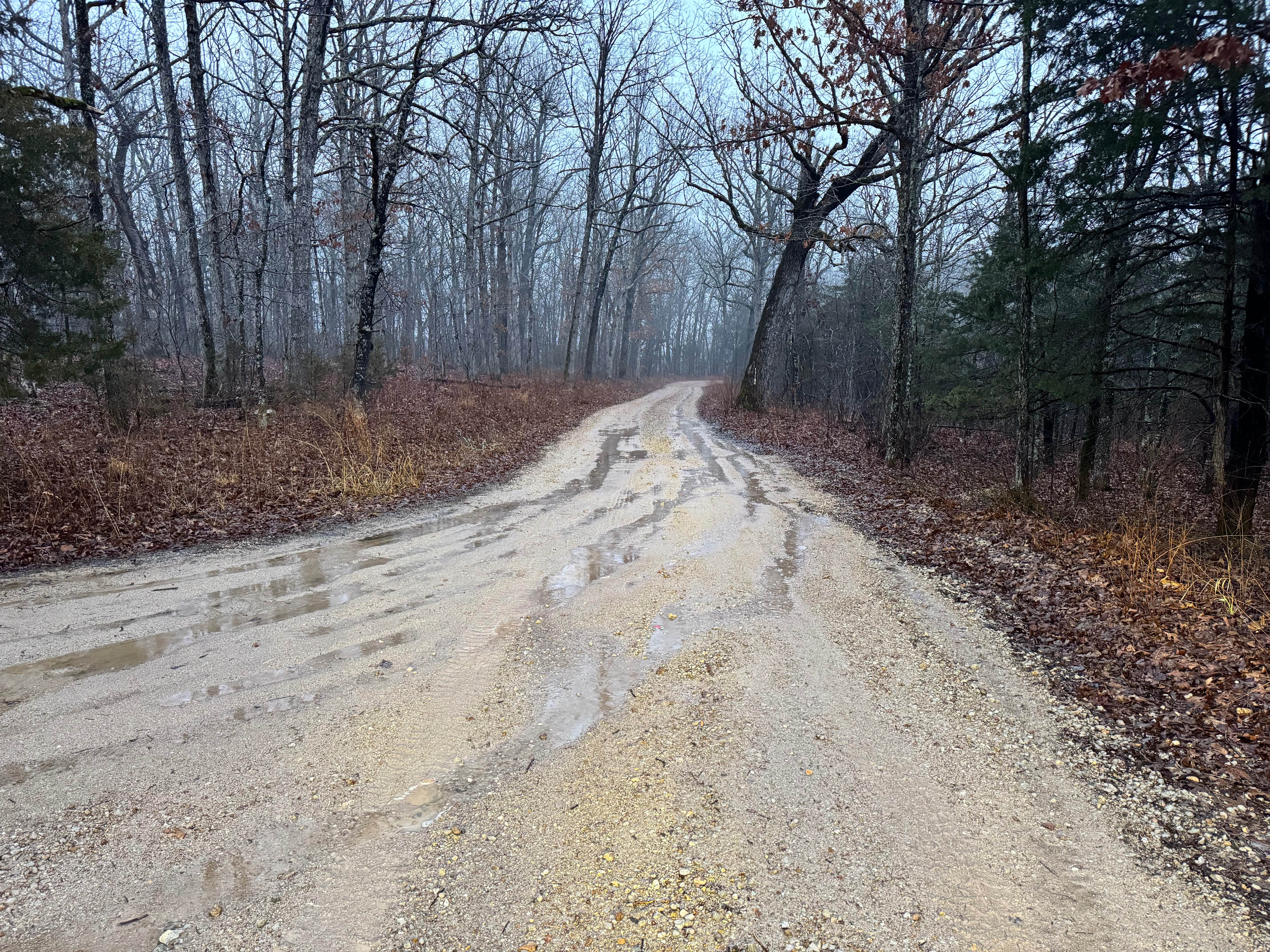
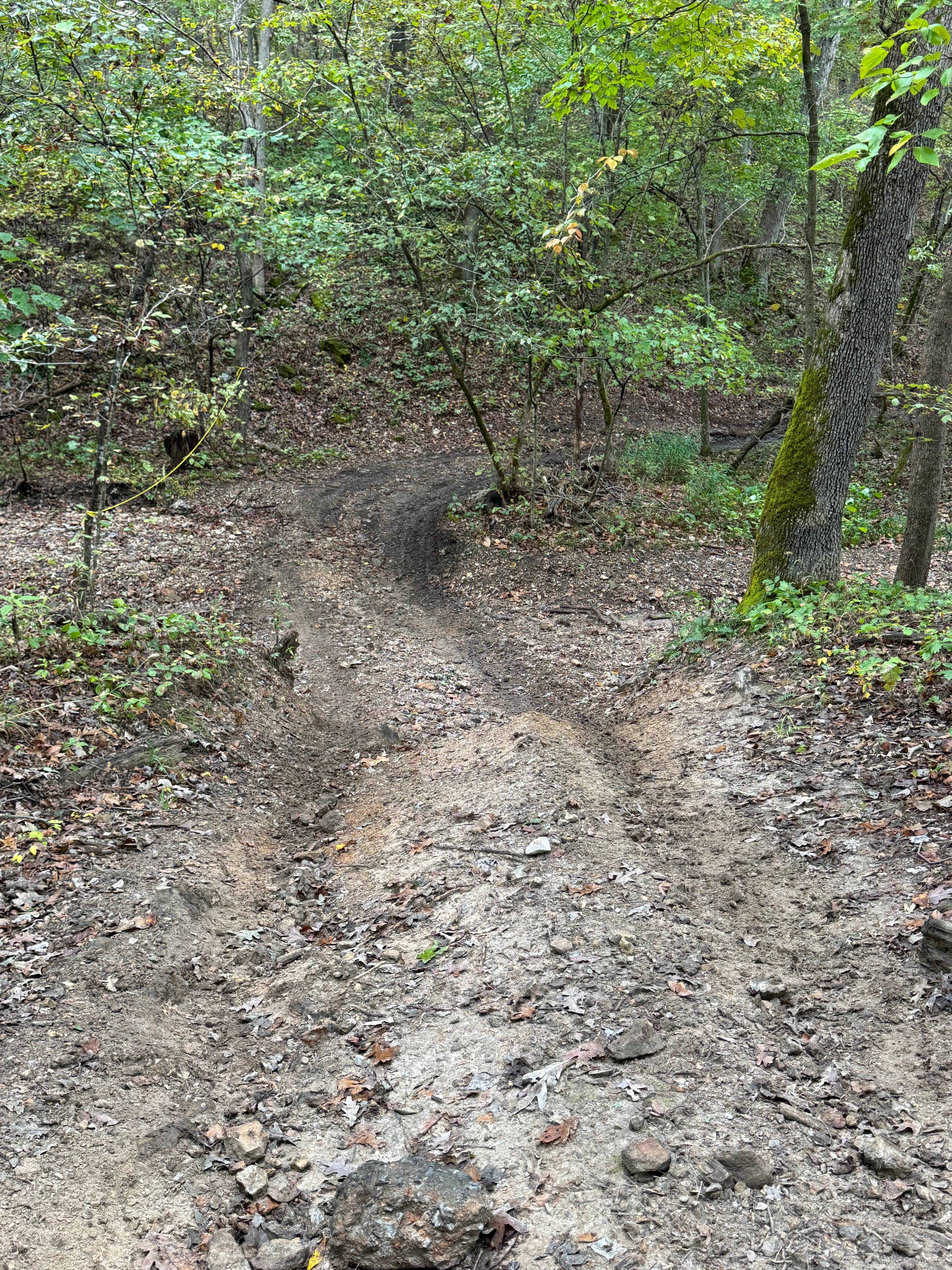
Thomas Lane
Total Miles
2.6
Tech Rating
Easy
Best Time
Spring, Summer, Fall, Winter
Learn more about Thorn Bush Hill 130
Thorn Bush Hill 130
Total Miles
0.1
Tech Rating
Moderate
Best Time
Spring, Summer, Fall, Winter
Learn more about Through Traffic 45
Through Traffic 45
Total Miles
0.1
Tech Rating
Easy
Best Time
Spring, Summer, Fall, Winter
Learn more about Tight And Curly - 278
Tight And Curly - 278
Total Miles
0.2
Tech Rating
Difficult
Best Time
Spring, Summer, Fall, Winter
Learn more about Tim's Hill
Tim's Hill
Total Miles
0.0
Tech Rating
Difficult
Best Time
Spring, Summer, Fall, Winter
Learn more about Timber Lane - FS 2514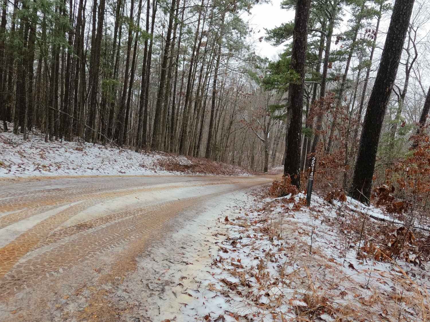
Timber Lane - FS 2514
Total Miles
2.1
Tech Rating
Easy
Best Time
Spring, Summer, Fall, Winter
Learn more about Timber Lane Spur B - FS 2514B
Timber Lane Spur B - FS 2514B
Total Miles
0.4
Tech Rating
Easy
Best Time
Spring, Summer, Fall, Winter
Learn more about Tinkerbell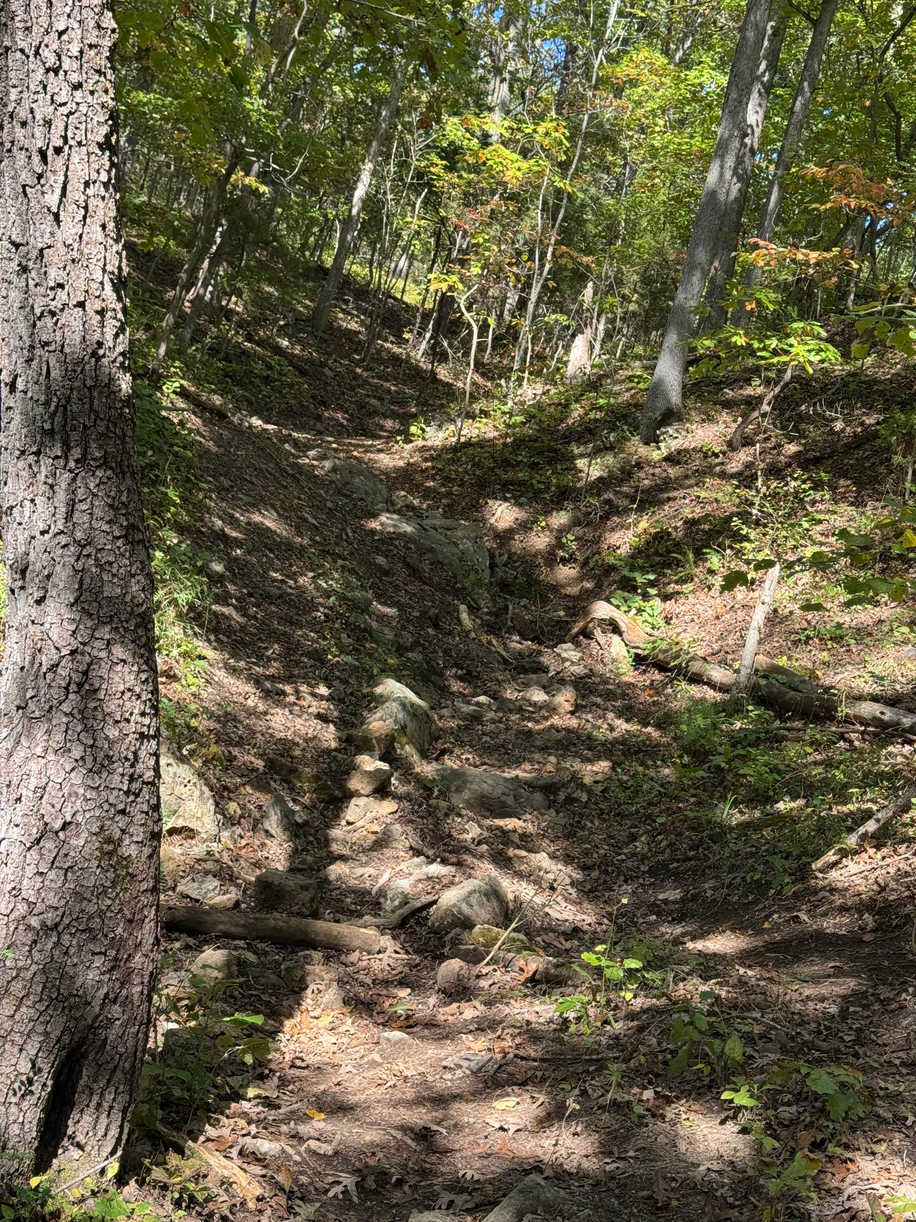
Tinkerbell
Total Miles
0.1
Tech Rating
Moderate
Best Time
Spring, Summer, Fall, Winter
Learn more about Toilet Bowl 186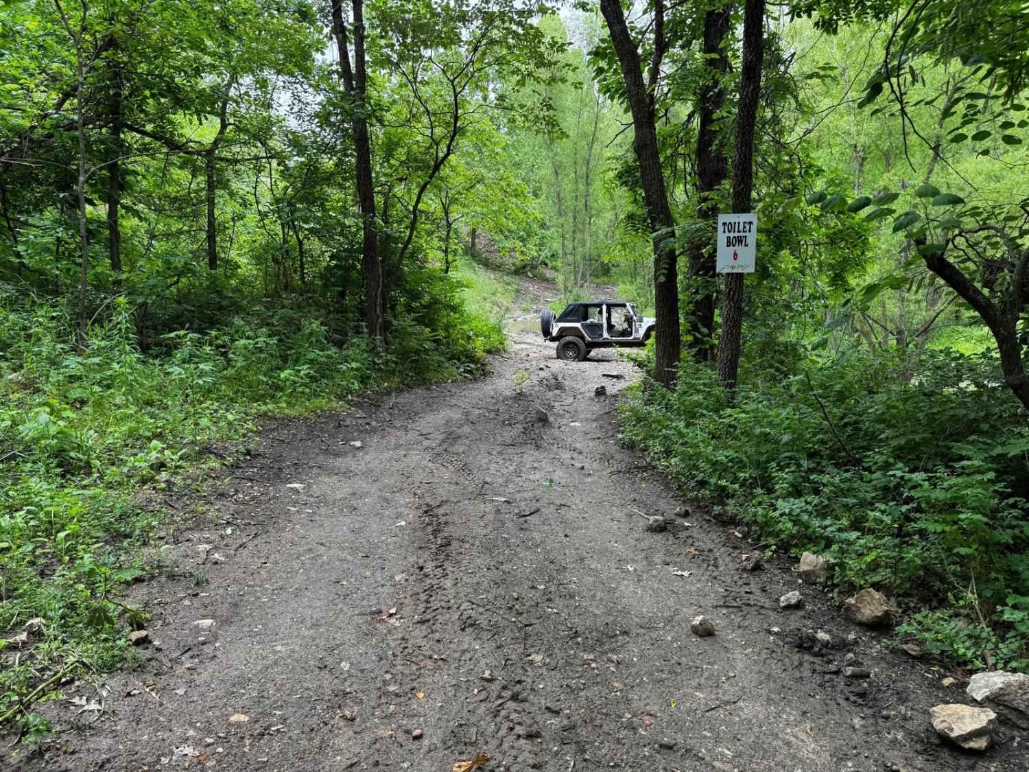
Toilet Bowl 186
Total Miles
0.1
Tech Rating
Extreme
Best Time
Spring, Summer, Fall
Learn more about Tombstone
Tombstone
Total Miles
0.2
Tech Rating
Easy
Best Time
Spring, Summer, Fall, Winter
Learn more about Tombstones Trail #1
Tombstones Trail #1
Total Miles
0.2
Tech Rating
Moderate
Best Time
Spring, Summer, Fall, Winter
Learn more about Tombstones Trail #2
Tombstones Trail #2
Total Miles
0.2
Tech Rating
Easy
Best Time
Spring, Summer, Fall, Winter
Learn more about Top 'O the Hill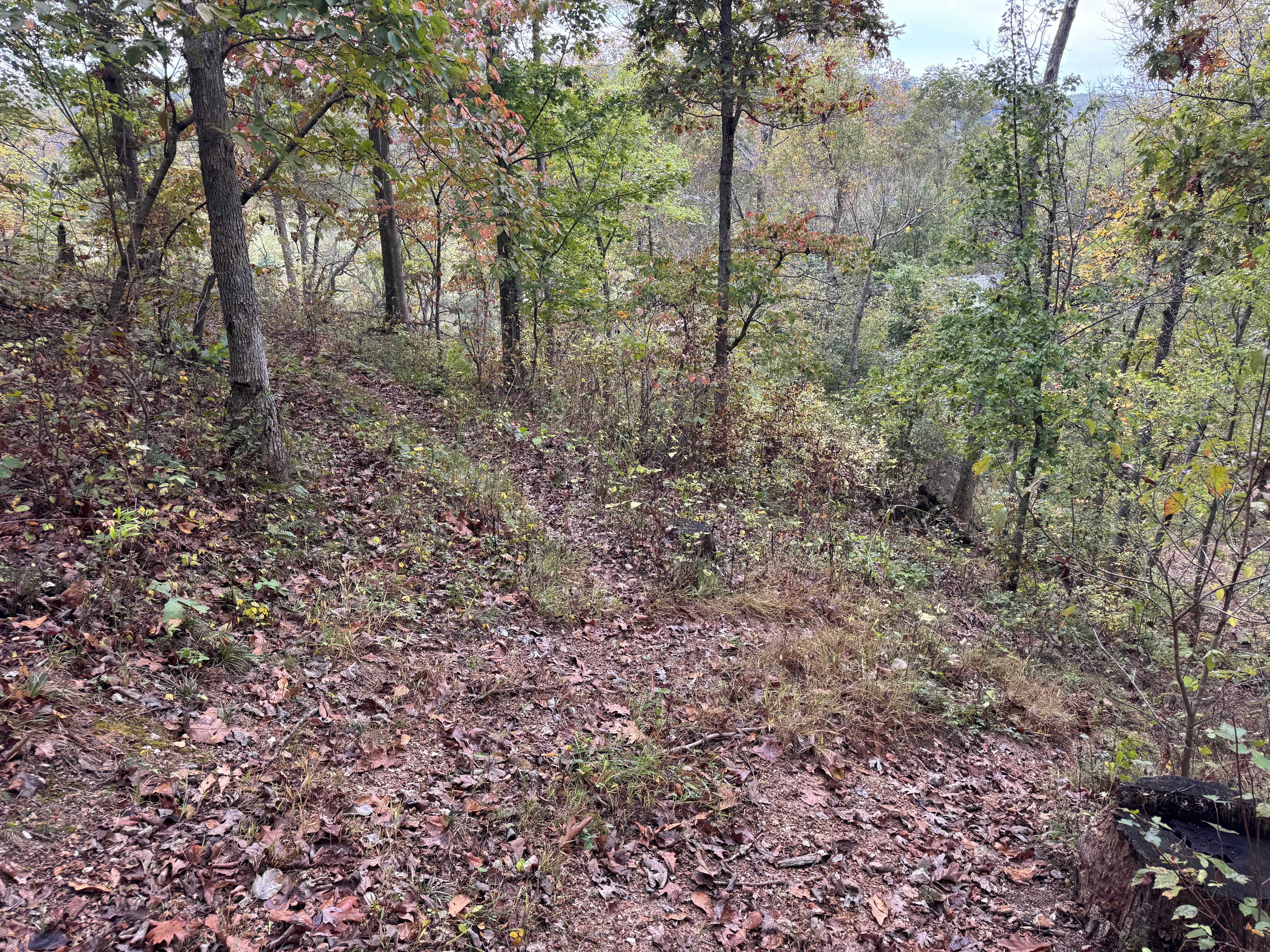
Top 'O the Hill
Total Miles
0.1
Tech Rating
Easy
Best Time
Spring, Summer, Fall, Winter
Learn more about Top of Cave 31
Top of Cave 31
Total Miles
0.5
Tech Rating
Easy
Best Time
Spring, Summer, Fall, Winter
Learn more about Town Hollow - FS 2647
Town Hollow - FS 2647
Total Miles
1.0
Tech Rating
Easy
Best Time
Spring, Summer, Fall, Winter
Learn more about Trace Branch - FS 2225
Trace Branch - FS 2225
Total Miles
1.4
Tech Rating
Easy
Best Time
Spring, Summer, Fall, Winter
Learn more about Trace Creek - FS 2673
Trace Creek - FS 2673
Total Miles
0.6
Tech Rating
Easy
Best Time
Spring, Summer, Fall, Winter
Learn more about Trail Mix
Trail Mix
Total Miles
0.4
Tech Rating
Moderate
Best Time
Spring, Summer, Fall, Winter
ATV trails in Missouri


Learn more about 4 of 5
4 of 5
Total Miles
0.0
Tech Rating
Difficult
Best Time
Spring, Summer, Fall, Winter
UTV/side-by-side trails in Missouri
Learn more about 4 of 5
4 of 5
Total Miles
0.0
Tech Rating
Difficult
Best Time
Spring, Summer, Fall, Winter
The onX Offroad Difference
onX Offroad combines trail photos, descriptions, difficulty ratings, width restrictions, seasonality, and more in a user-friendly interface. Available on all devices, with offline access and full compatibility with CarPlay and Android Auto. Discover what you’re missing today!