Thomas Lane
Total Miles
2.6
Technical Rating
Best Time
Spring, Summer, Fall, Winter
Trail Type
Full-Width Road
Accessible By
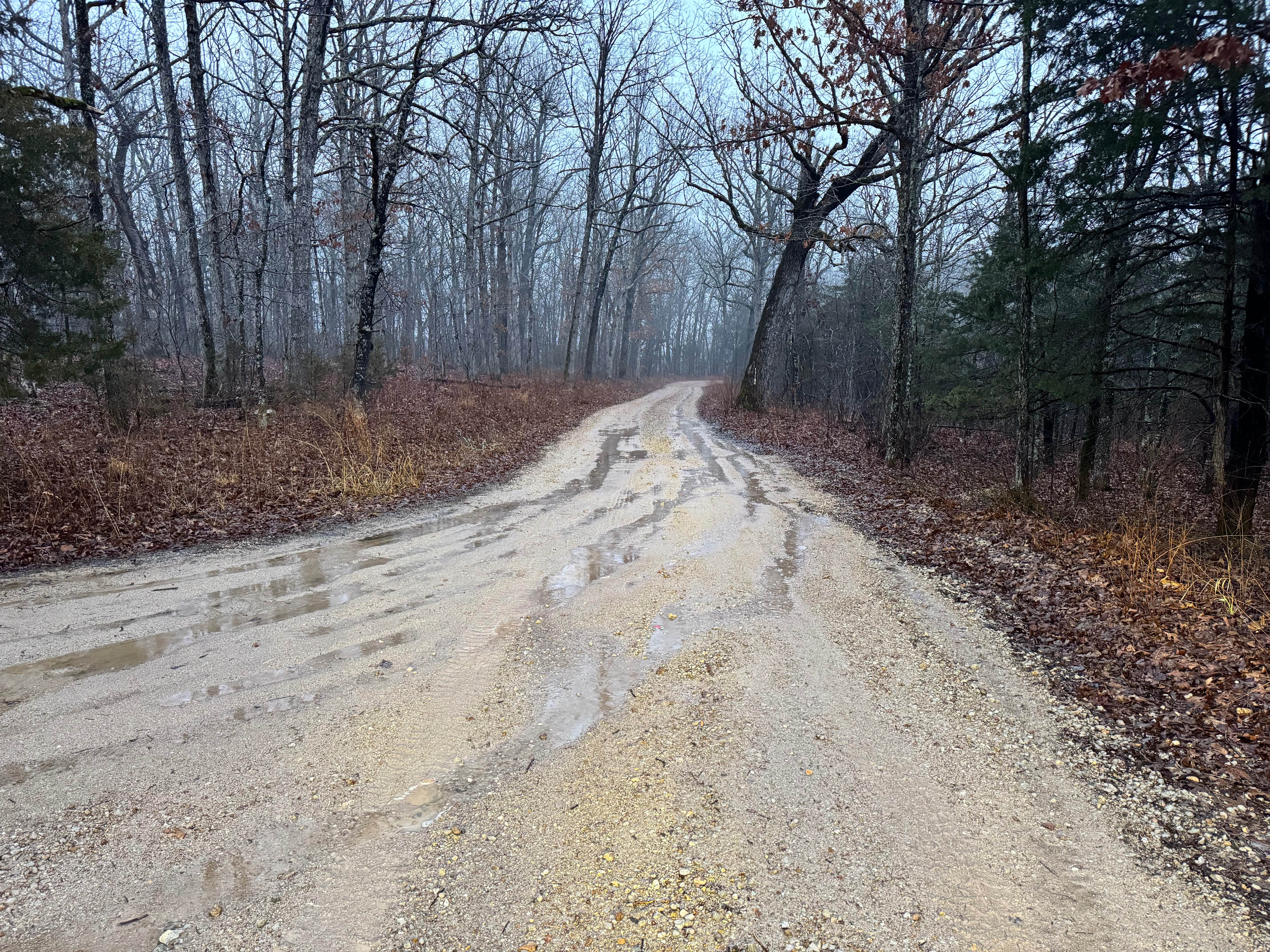
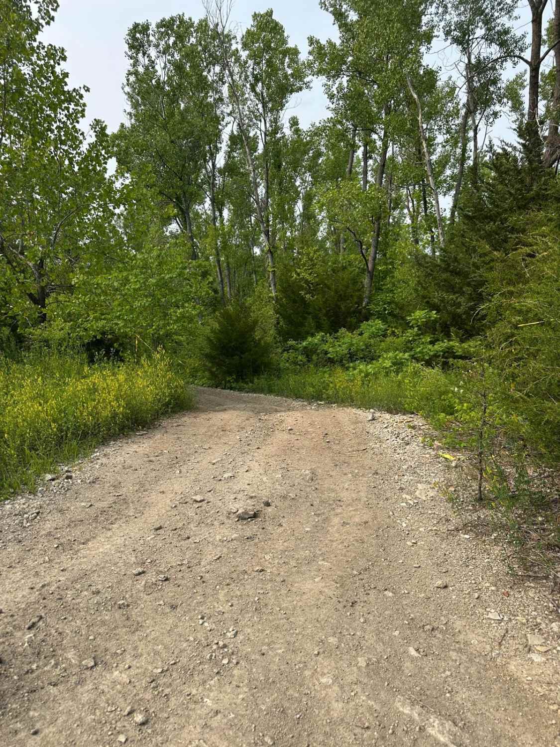
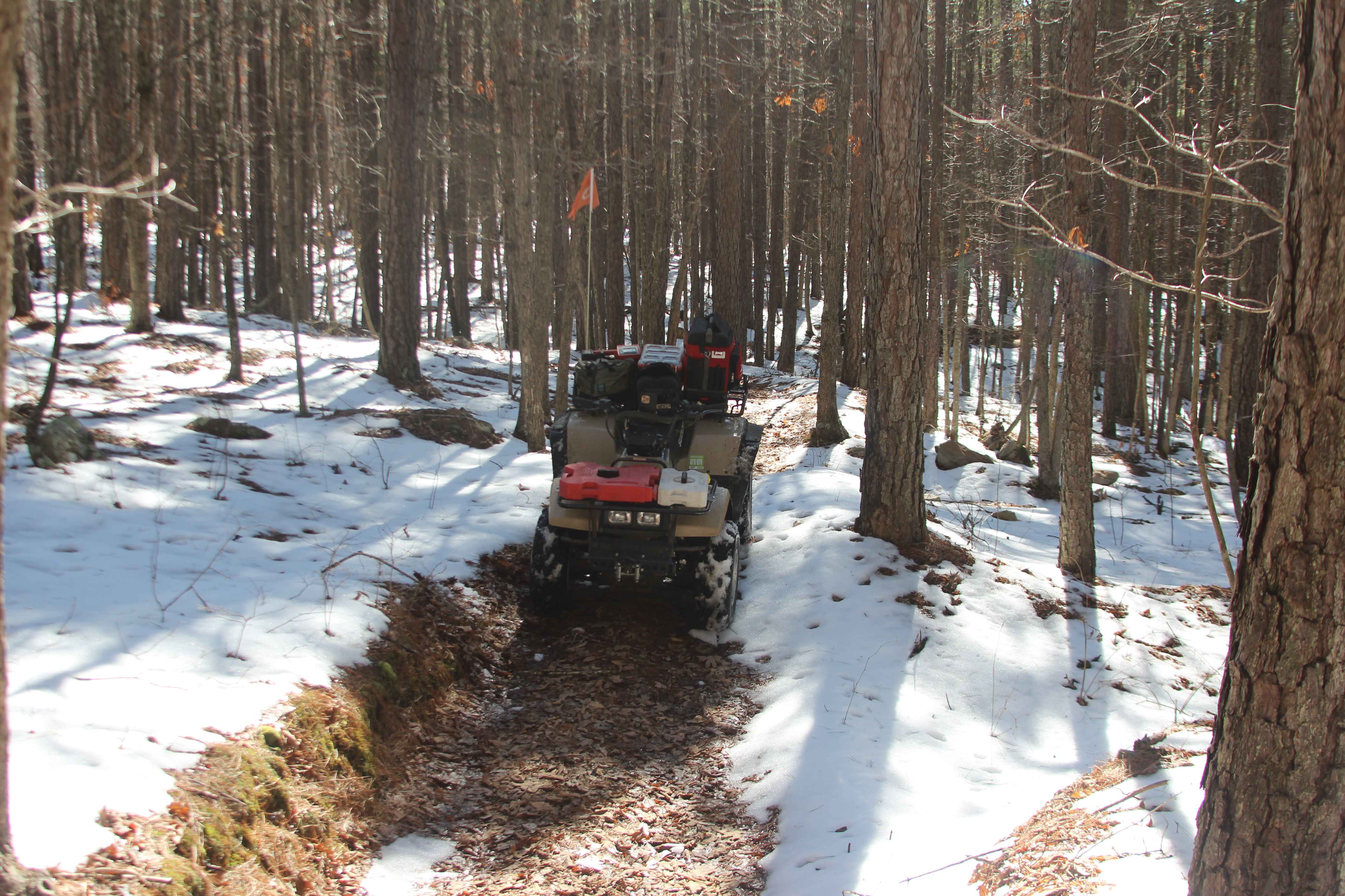
Trail Overview
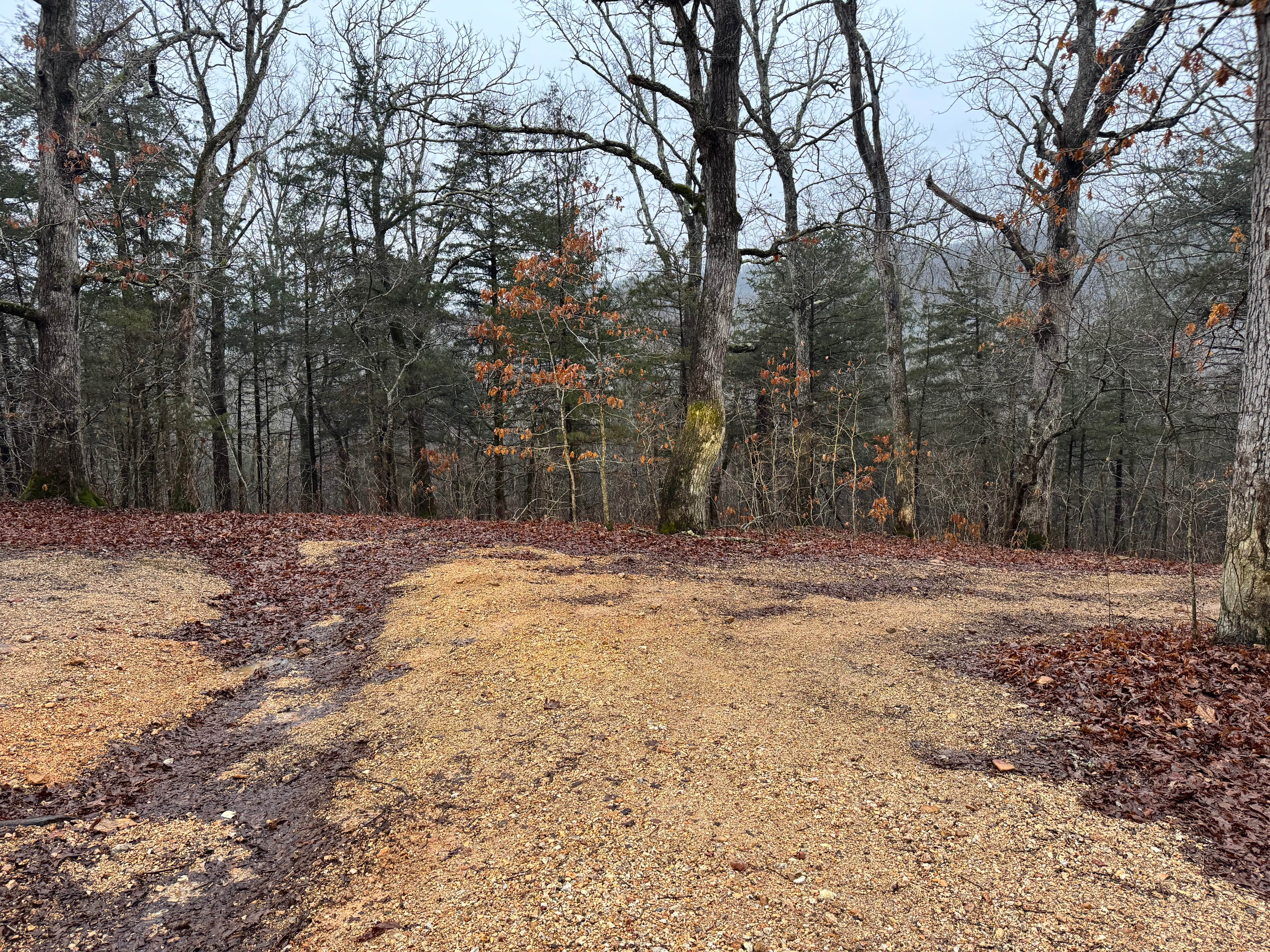
This is a maintained gravel road with generally smooth conditions, though you will encounter a few rougher or washboarded sections along the way. There are a couple of larger dispersed camping areas that offer plenty of space for multiple vehicles or small groups. The route eventually leads to Mayfield Cemetery, where several grave sites date back to the mid to late 1800s, offering a quiet glimpse into the region's early settlers. Shortly after turning onto the road, you'll also notice a separate gravesite located just off the roadside, marking another piece of local history.
Photos of Thomas Lane
Difficulty
This is a maintained gravel road that remains passable for most vehicles in dry conditions. The surface is generally smooth with a few rough or slightly uneven sections, but nothing technical or requiring advanced driving skills. The larger dispersed camping areas are easy to access and provide ample turnaround space. During heavy rain, minor washouts or slick gravel could raise the difficulty slightly, but overall, this route is suitable for stock SUVs, trucks, and most AWD vehicles with moderate ground clearance. No specialized equipment is typically required.
History
Mayfield Cemetery sits tucked away in the more remote area of Devil's Elbow, surrounded by quiet forest and time-worn landscape. The headstones are aged, many leaning or partially reclaimed by grass and brush, yet several inscriptions can still be read. Most of the burials date back to the 1800s, a period when childhood illness was common and medical care in the rural Ozarks was limited. The number of short lifespans recorded on the stones reflects the harsh realities families faced in an era before modern medicine and accessible healthcare reached deep into these hills. A few miles before reaching the cemetery, you'll pass the roadside gravesite of Eliza Jane (Laycock) Thomas on the left. It appears to be visited regularly and is separate from the Mayfield Cemetery. When you arrive at Mayfield, expect an overgrown and largely untended burial ground, with time and nature slowly reclaiming the site.
Thomas Lane can be accessed by the following ride types:
- High-Clearance 4x4
- SUV
- SxS (60")
- ATV (50")
- Dirt Bike
Thomas Lane Map
Popular Trails
Witch Hazel - FS 2914
Sutton Bluff ATV 15 East - SB 15
The onX Offroad Difference
onX Offroad combines trail photos, descriptions, difficulty ratings, width restrictions, seasonality, and more in a user-friendly interface. Available on all devices, with offline access and full compatibility with CarPlay and Android Auto. Discover what you’re missing today!