Sutton Bluff ATV 15 East - SB 15
Total Miles
0.9
Technical Rating
Best Time
Spring, Summer, Fall, Winter
Trail Type
50" Trail
Accessible By
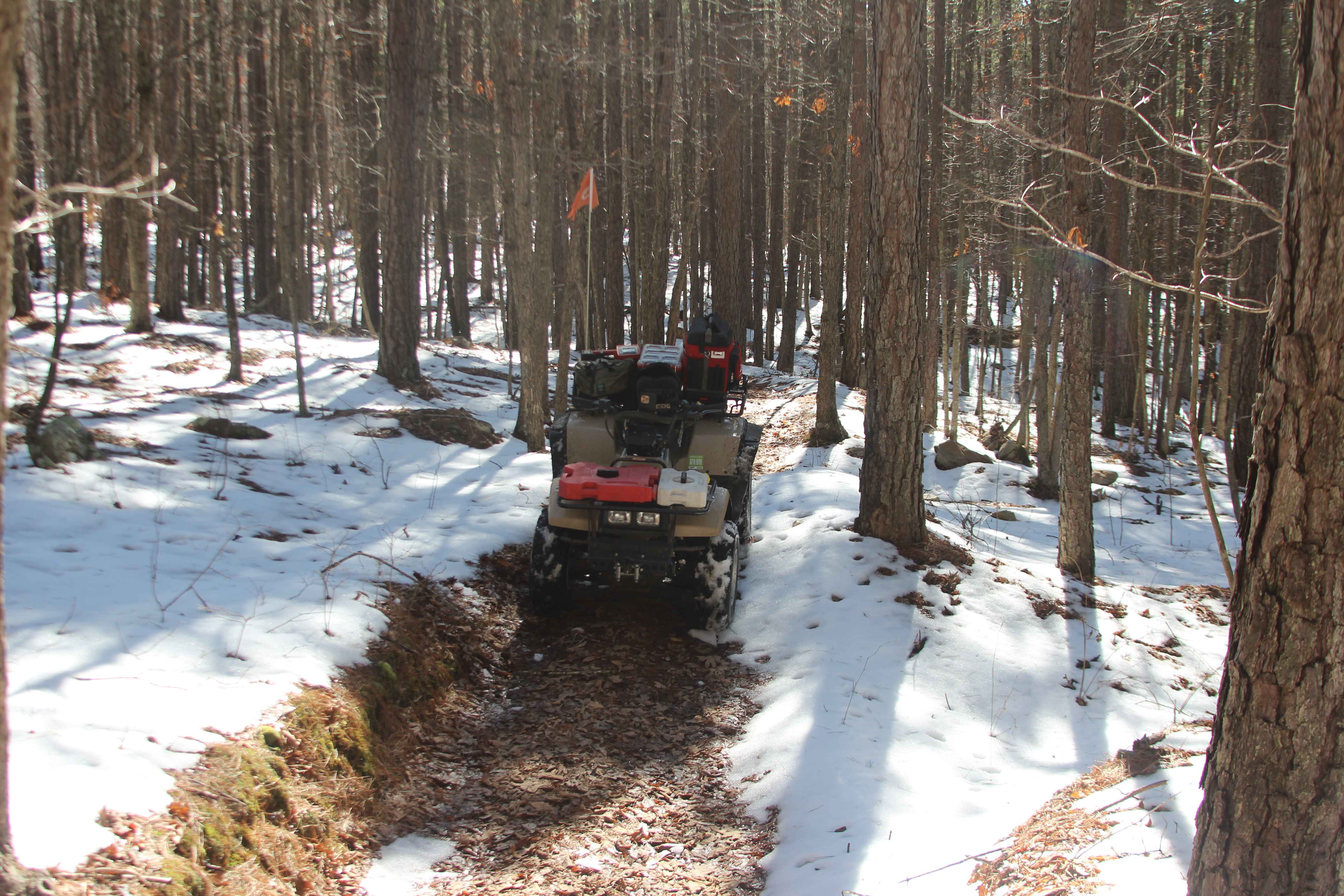
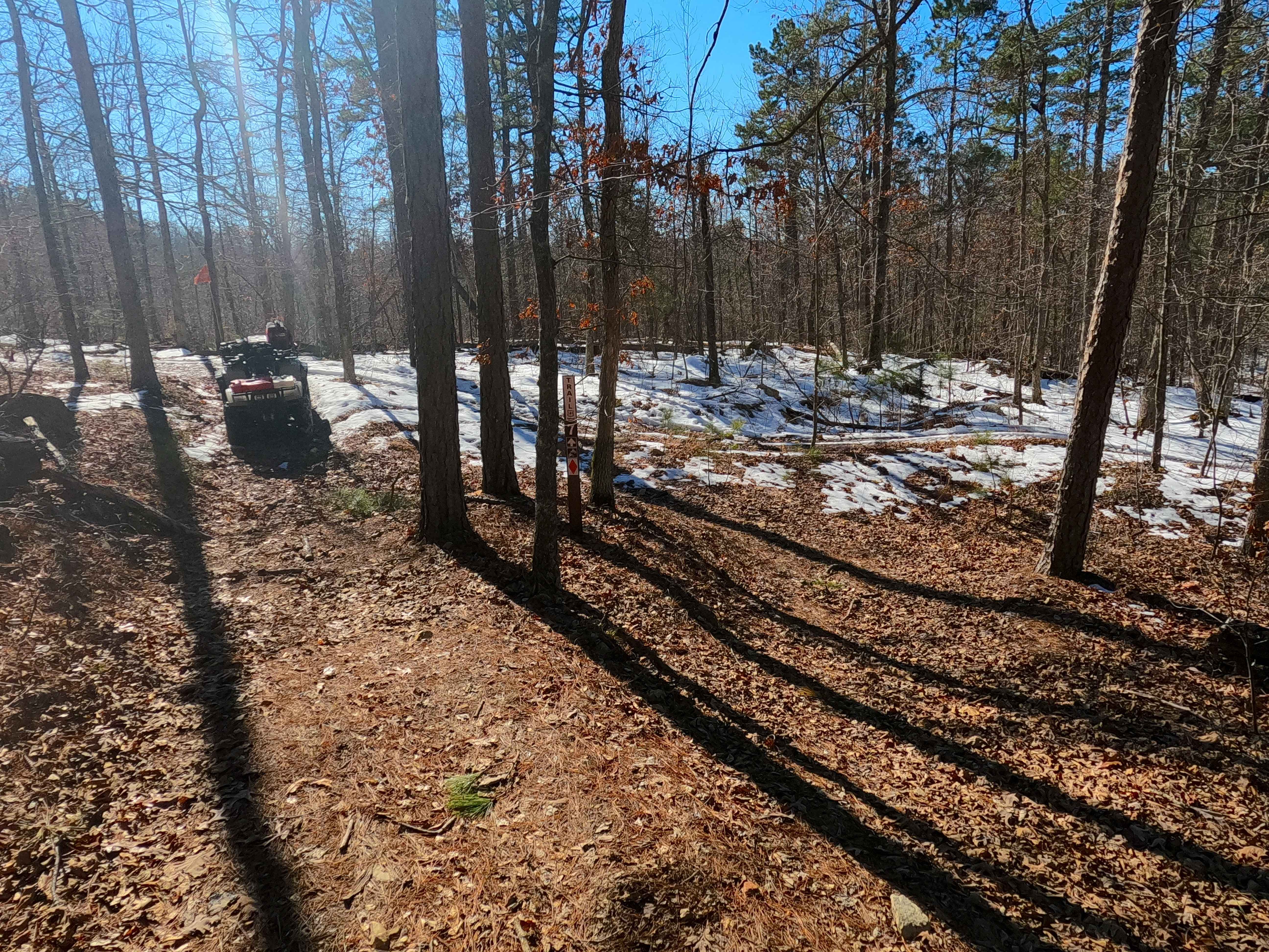
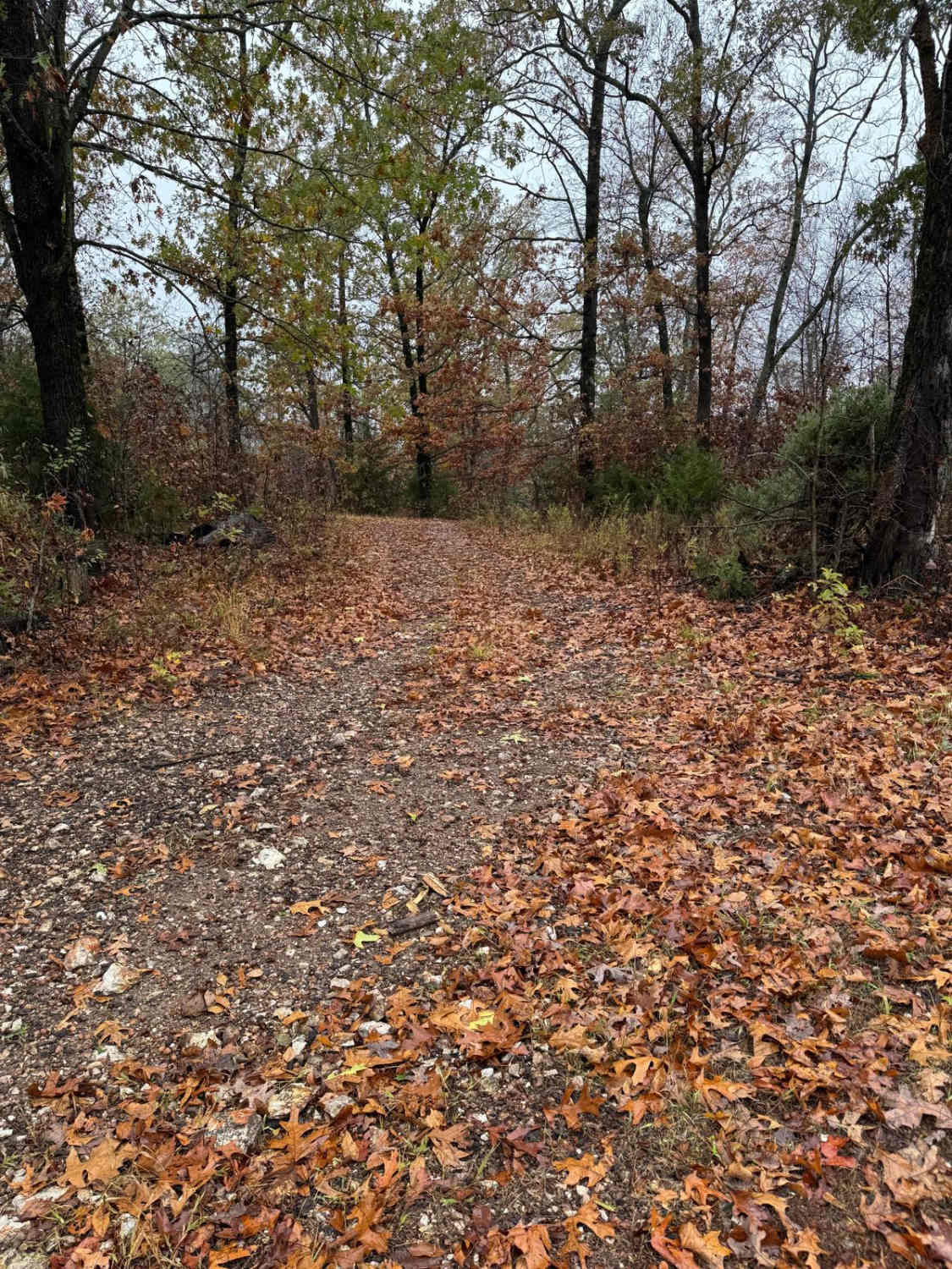
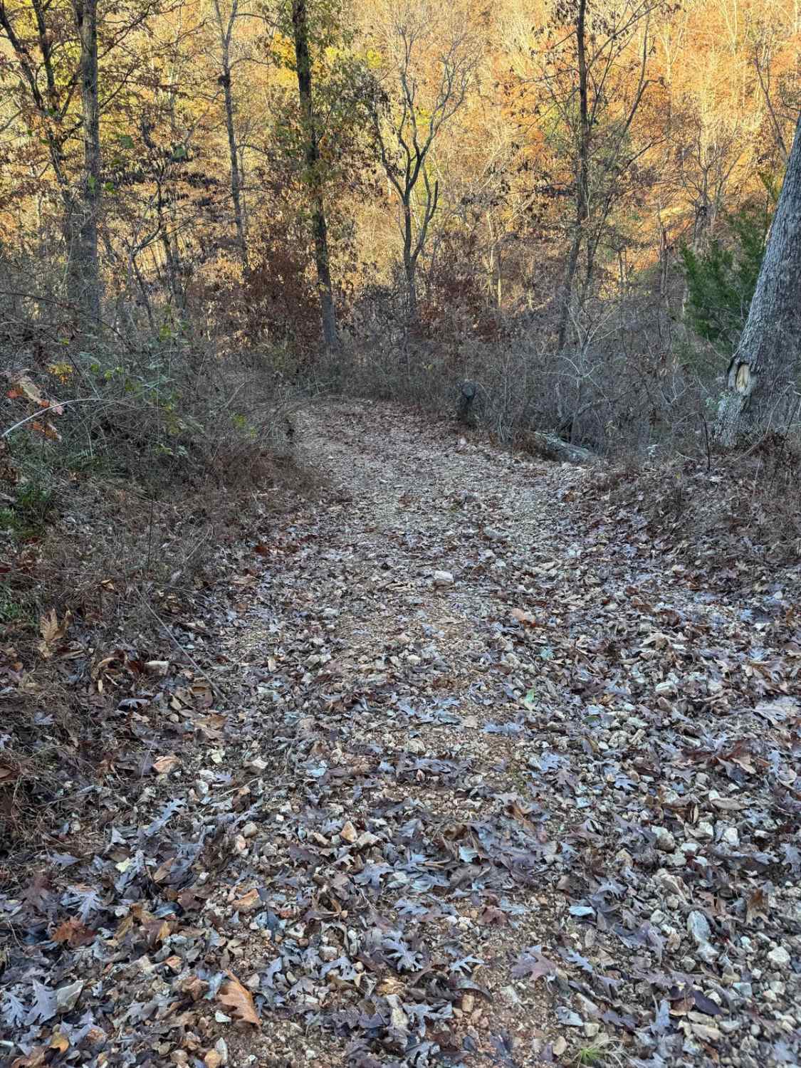
Trail Overview
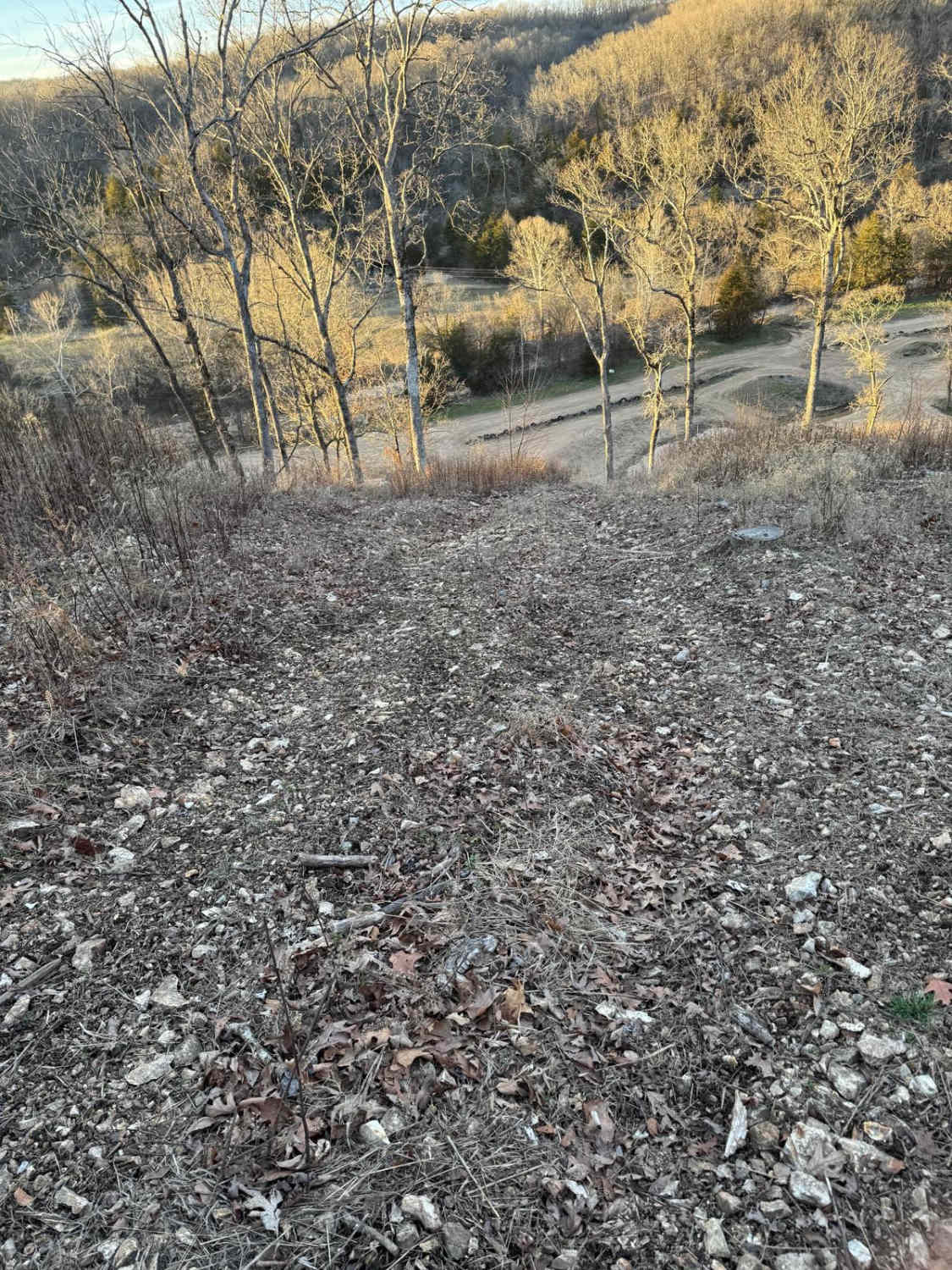
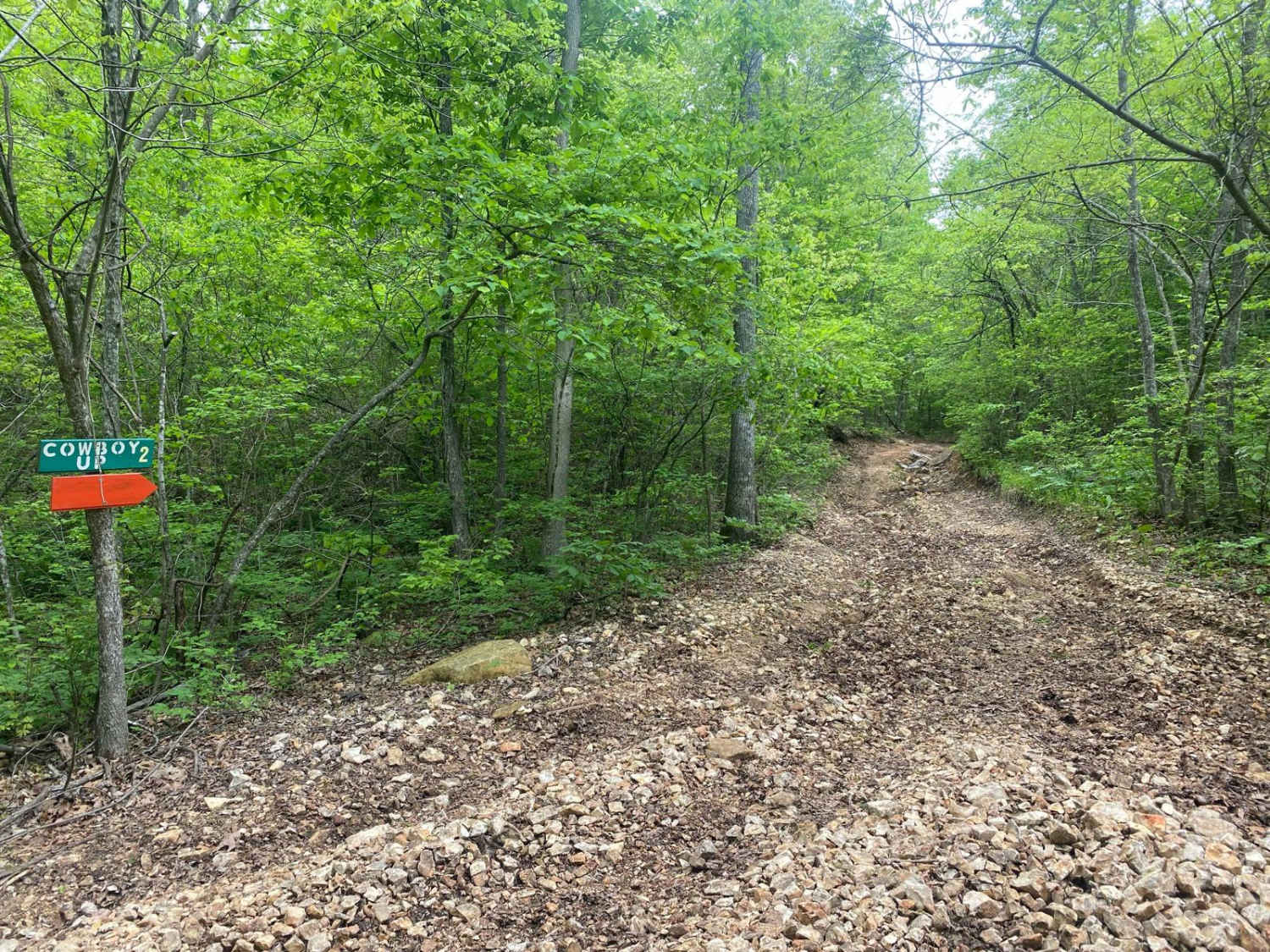
Sutton Bluff ATV 15 (East Section), also known as Bent Tree, with the legal/emergency ID SB 15, is a 50-inch and under restricted trail within the Sutton Bluff OHV trail system, managed by the Mark Twain National Forest Salem Unit. The SB 15 East is apart of the "far east section" of Sutton Bluff OHV, with the trail logistically orientated as an east-to-west trail, connecting between the SB 7 North on the east end to the Turkey Trot FS 2447 on the west end where the split between the SB 15 west is made, this uniquely is the only Sutton Bluff ATV trail to intersect and cross midway with an FS Road in the system. Summary of the SB 15 East, starting from the SB 7 North on the east end, turning north from the SB 7 the SB 15 heading northwest, climbing slowly uphill, through tight trees, to meet the hillside just south of the Karkaghne Scenic Drive, redirecting southwest via a sweeping turn, to then parallel the Turkey Trot FS 2447 on its eastern hillside, going slowly downhill along beautiful treelines, while passing under the unique bent tree that rests over the trail, before slowly turning west going uphill to meet the west end of the SB 15 East in the valley of lowest elevation along the FS 2447. SB 15 East's notable core elements include mild hilly grades, and a natural coarse-gravel-dirt path, featuring whoops, loose cobbles, mini boulders, natural rock slabs, tree roots, and small water-collection spots. To enjoy this trail and OHV system, obtain the required Sutton Bluff permit from Mark Twain National Forest, and if intending to use an ATV on Reynolds County Roads to commute between trails, obtain the Reynolds County ATV/UTV permit as well, in accordance with Missouri state laws.
Photos of Sutton Bluff ATV 15 East - SB 15
Difficulty
The SB 15 East is given a base rating of 3/10, for having small 3-6 inch water collection spots, with a mild grades on the hills of the track, occasional small 3-12 inch fallen trees, tree roots acting as mini 3-8 inch ledges, loose 4-10 inch cobbles laying loose in the trail, 10 inch to 18 inch mini boulders and natrual slabs present on edges or mostly buried within the ground as part of the path. Difficulty can increase, from heavy use and a lack of maintenance, large 12+ inch fallen trees blocking the trail, in wet or rainy conditions, inclement weather, or from damage sustained from flash flooding, and if actively flooding, consider the trail closed.
Status Reports
Sutton Bluff ATV 15 East - SB 15 can be accessed by the following ride types:
- ATV (50")
- Dirt Bike
Sutton Bluff ATV 15 East - SB 15 Map
Popular Trails
Yellow 146
Purple 402
The onX Offroad Difference
onX Offroad combines trail photos, descriptions, difficulty ratings, width restrictions, seasonality, and more in a user-friendly interface. Available on all devices, with offline access and full compatibility with CarPlay and Android Auto. Discover what you’re missing today!