Witch Hazel - FS 2914
Total Miles
1.1
Technical Rating
Best Time
Spring, Summer, Fall, Winter
Trail Type
Full-Width Road
Accessible By
Trail Overview
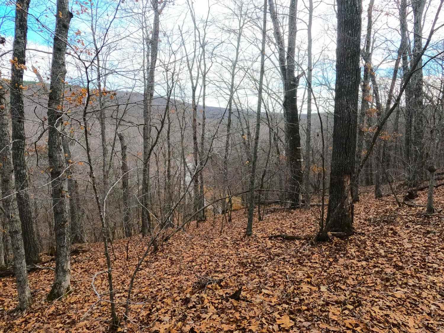
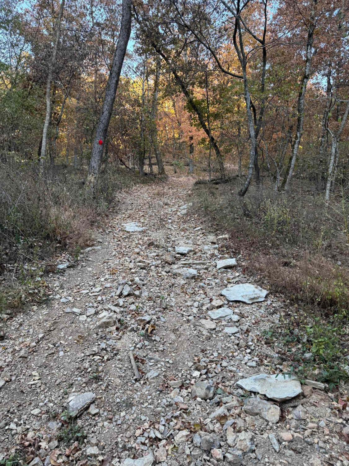
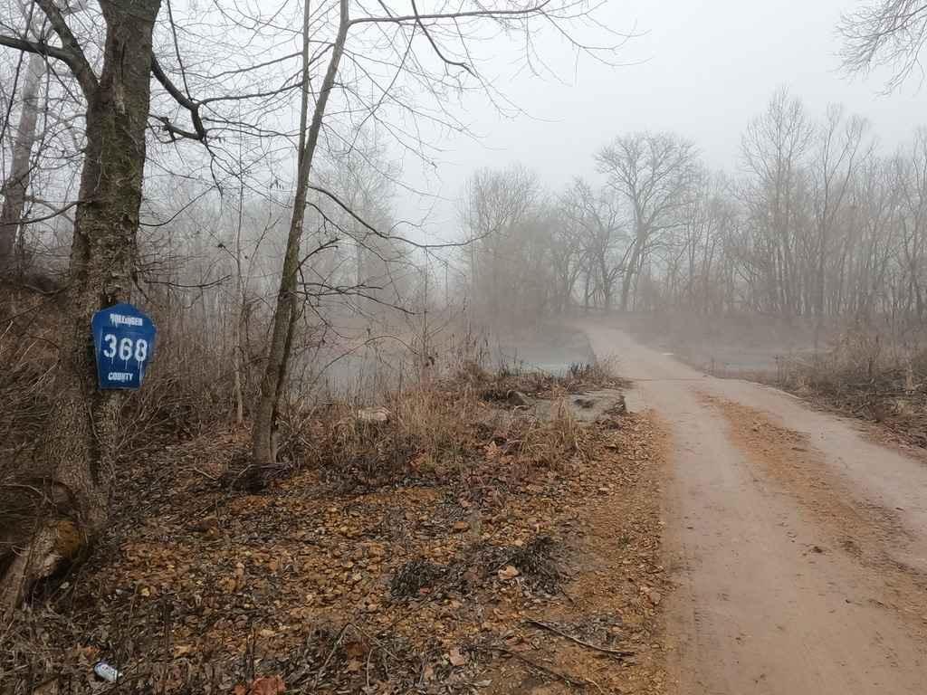
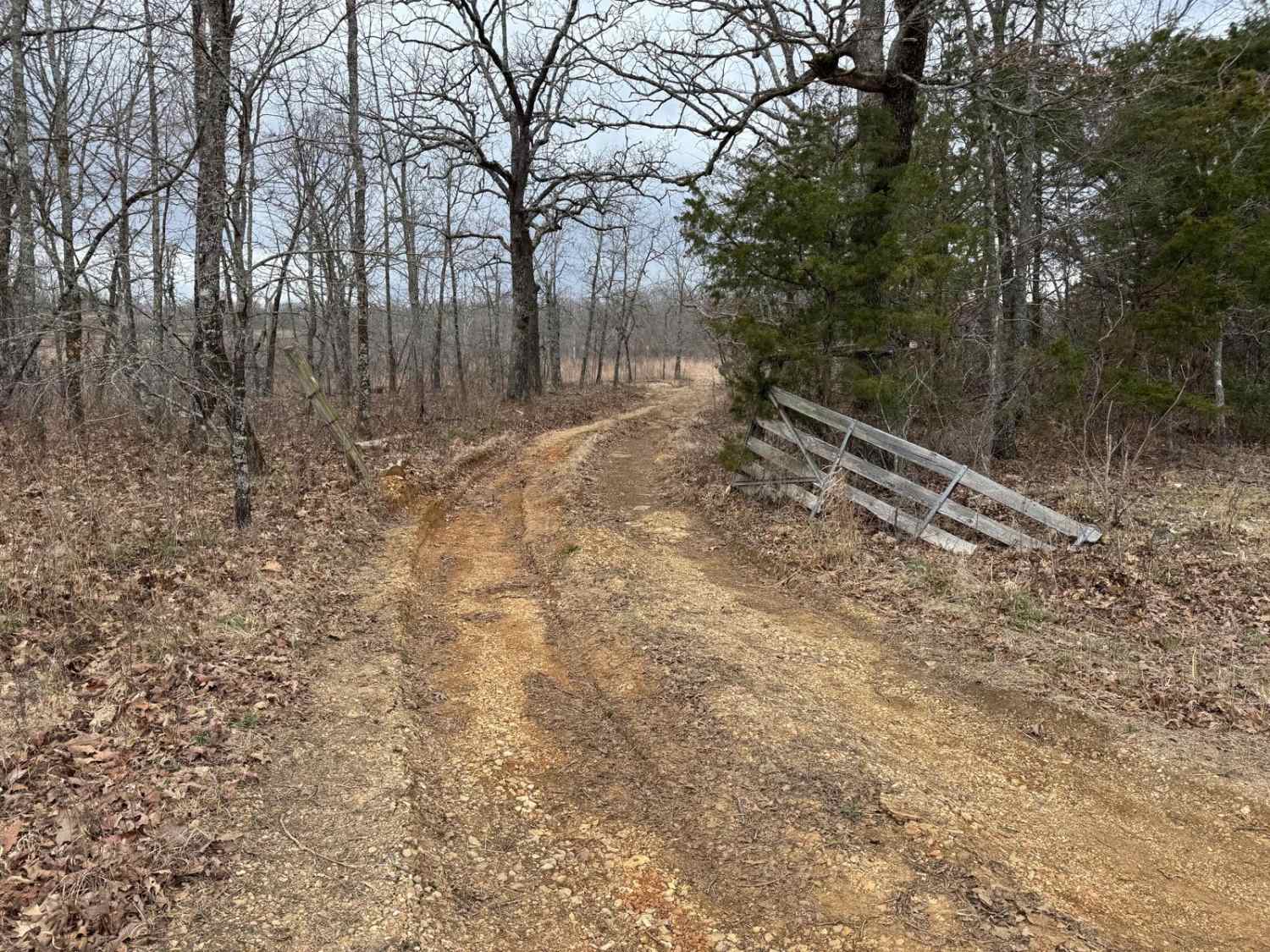
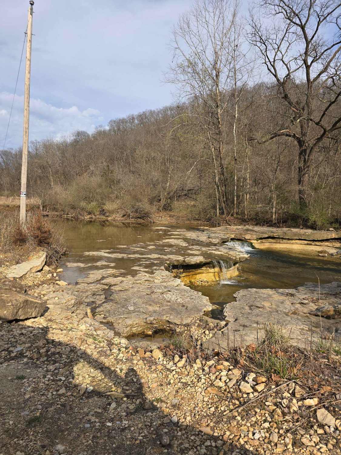
Witch Hazel FS 2914 is a natural terrain trail within the Colen Ridge Road area of the Potosi Unit of Mark Twain National Forest. The road starts coming off the Colen Ridge Road, heading north on a ridge that generally goes downhill from the entry, traversing natural course gravel, small cobbles, small washes, small water collection holes, surface mud, and subtle off-camber locations. The road crosses one dispersed campsite with a small fire ring but ultimately ends up running straight into the Ozark Trail Courtois Section hiking path, also note there is no turn-around area or cut out, the trail ends abruptly as a single lane width with very tight trees, it is advised to turn around up the trail from this spot, suggested at or before 37.82557, -90.99952. But coming to the end of the MVUM-sanctioned trail does yield an amazing view of Hazel Creek making its bends in the valley below, definitely worth making the small walk up from a safer turnaround location, you can then choose to walk on the Ozark Trail to the water's edge by going north or continue to experience more of the ridge top views by going south/east. Just to clear the trail name up, Witch Hazel is a flowering shrub plant native to the eastern USA and far eastern Canada, roughly in the box-shaped area of the border of Minnesota/Wisconsin to Nova Scotia, down to central Florida, to far eastern Texas. Missouri has small pockets of land with the plant, being a part of the western boundary line of its hardy range, but the Potosi Unit specifically has one of its largest pockets in Missouri. Hamamelis Virginiana (scientifically named) grows to mature stages up to 6 meters tall, but rarely can make it to 10 meters, it has oval leaves, with pale to bright yellow flowers, being ribbon shaped. The Native Americans would use the plant by boiled the flowers and stems to make a decoction, of which they treated swelling, inflammation, and tumors.
Photos of Witch Hazel - FS 2914

Difficulty
FS 2914 is given a base rating of 3/10, for the presence of large erosion spots that create short steep off-camber areas, that amount to a minimum of 12" of increase and require wise placement amongst the tight trees. This is backed further by the presence of light mud and water collection spots along the trail pushing close to the 12 inch range on their end as well, though in deep summer these could dry up and be near non-existent, the counter is in deep spring, fall, and winter these spots could also be waterlogged and very wet, possibly raising difficulty in those seasons. The unsung difficulty is that the trail is very tight in spots requiring a nimble vehicle and precise driving to navigate, though it is not limited to high clearance 4X4, it is advised to not attempt the second half with anything larger, as it would just not be worth the time backing out, there is very limited places to 7-point turn around a smaller vehicle, even more so with a larger vehicle.
Status Reports
Witch Hazel - FS 2914 can be accessed by the following ride types:
- High-Clearance 4x4
- SUV
Witch Hazel - FS 2914 Map
Popular Trails
Yellow 36
Hartle Ford Road
Bald Tower - FSR 148
Lost Creek Road
The onX Offroad Difference
onX Offroad combines trail photos, descriptions, difficulty ratings, width restrictions, seasonality, and more in a user-friendly interface. Available on all devices, with offline access and full compatibility with CarPlay and Android Auto. Discover what you’re missing today!