Trace Branch - FS 2225
Total Miles
1.4
Technical Rating
Best Time
Spring, Summer, Fall, Winter
Trail Type
Full-Width Road
Accessible By
Trail Overview
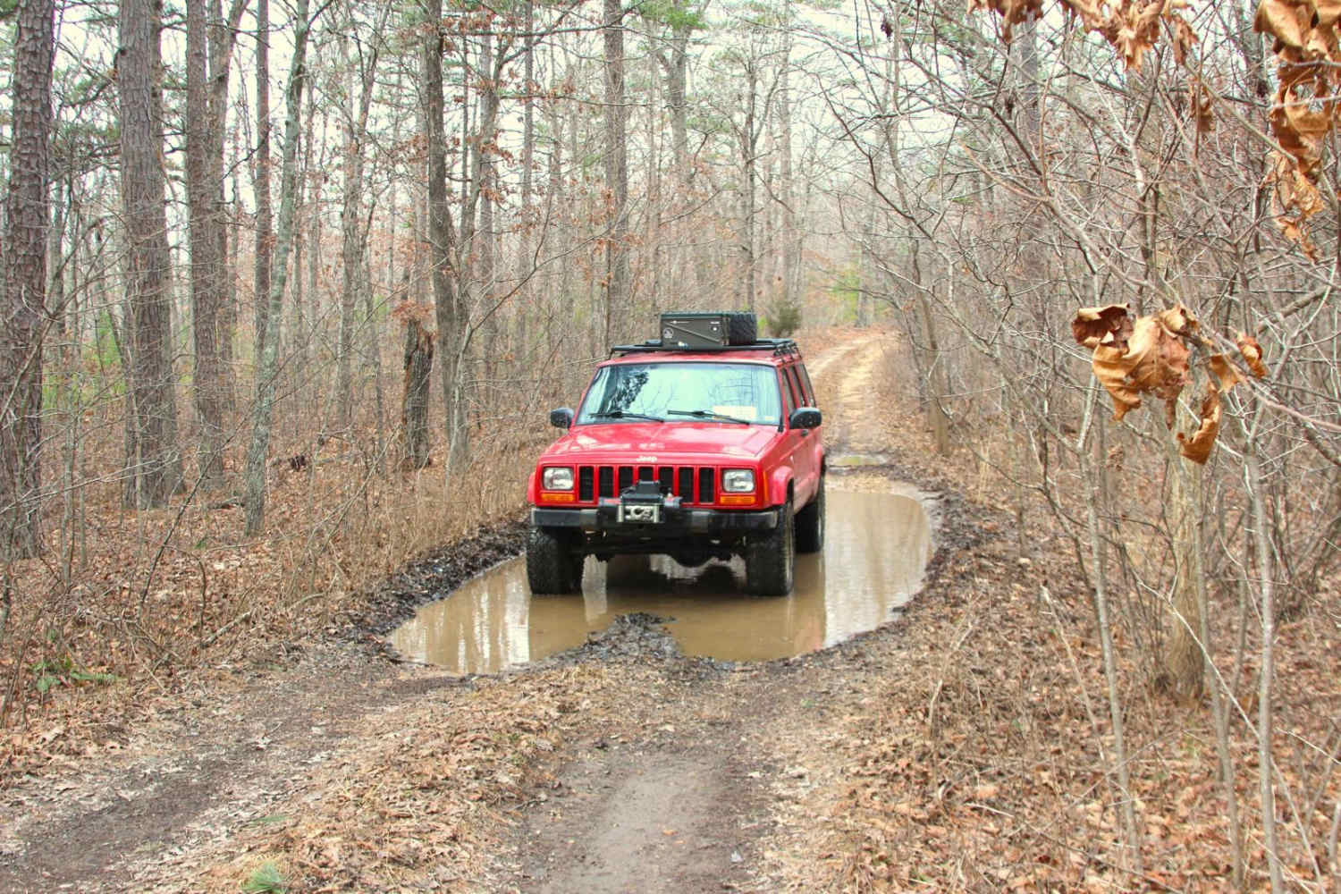
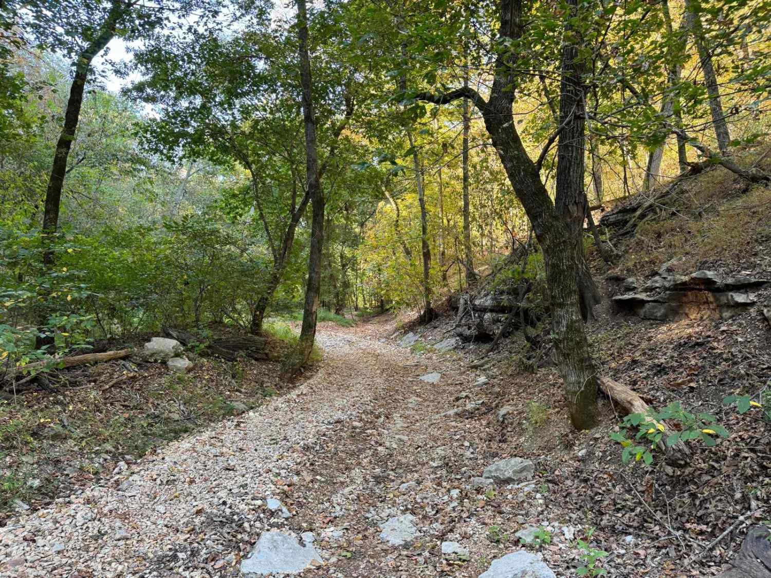
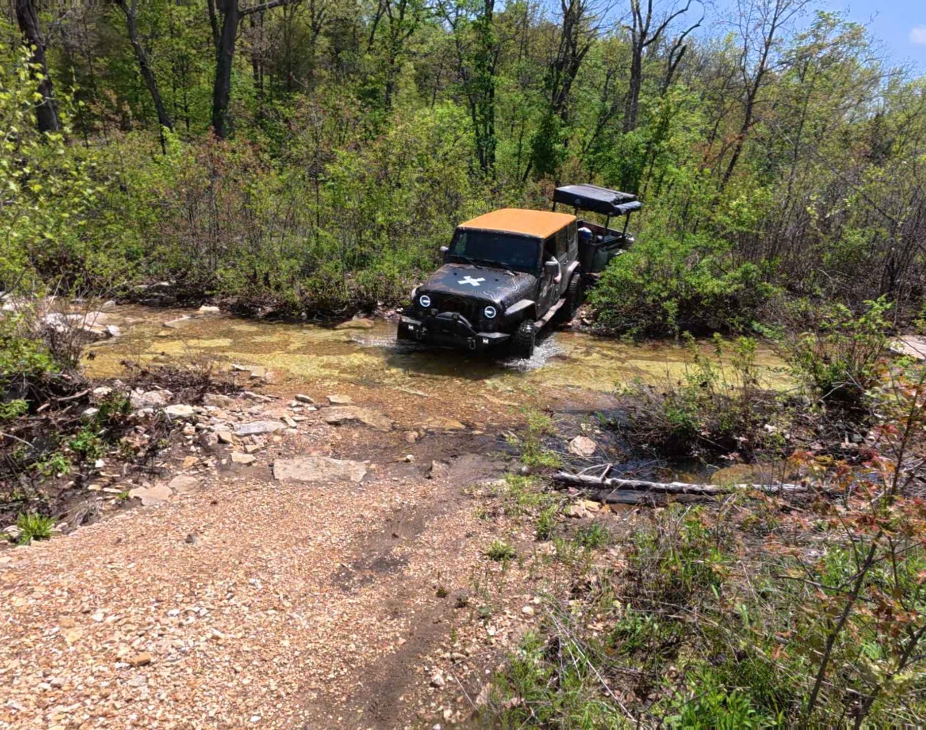
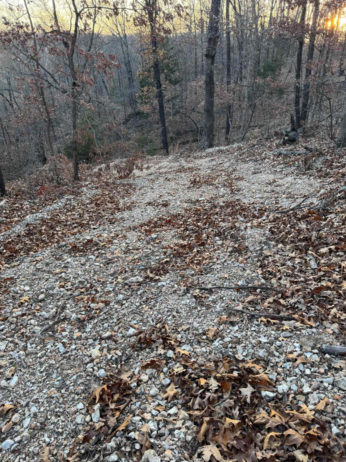
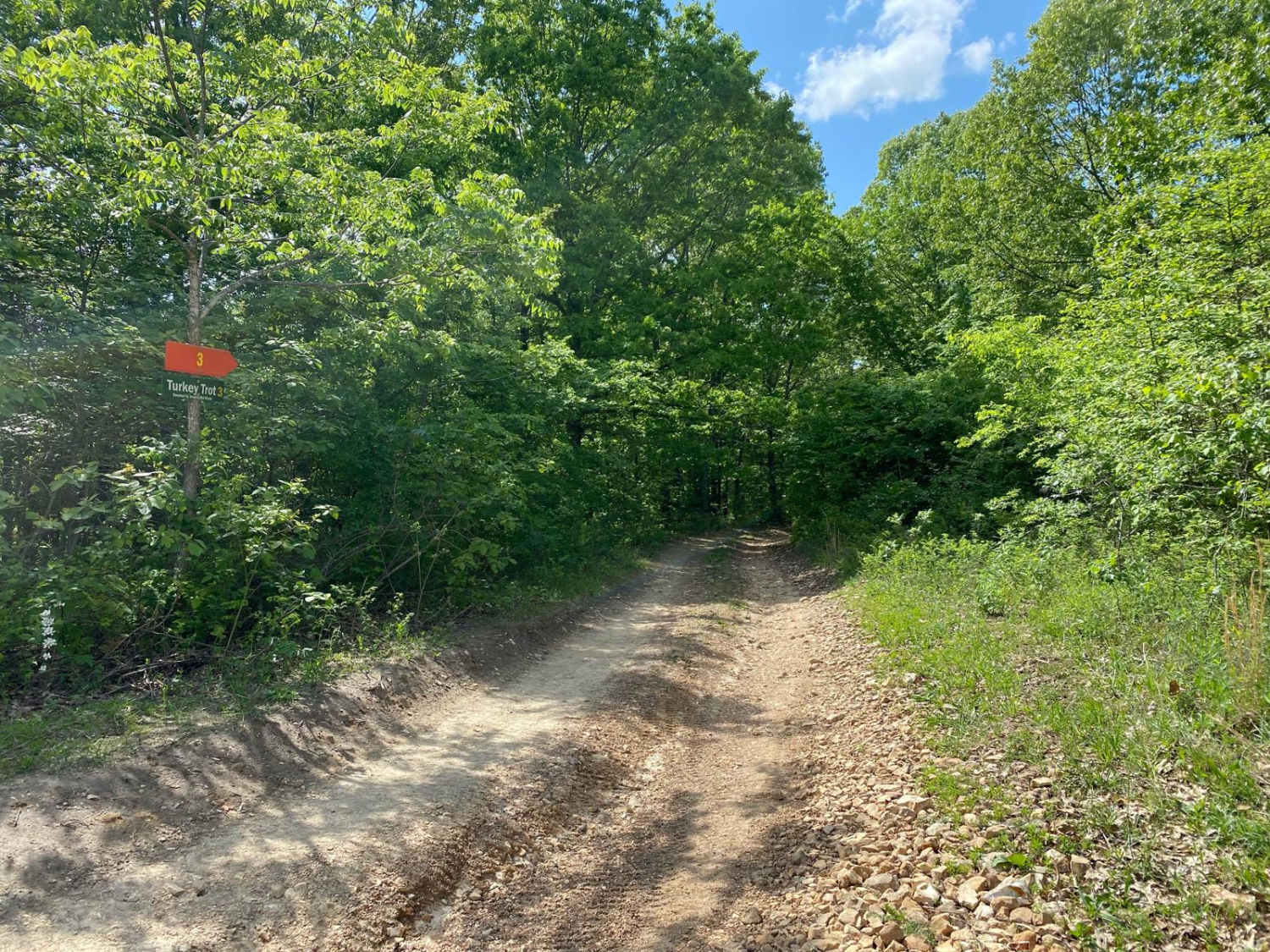
Trace Branch FS 2225 is a gravel, leaning towards natural-improved, road within the Martin Road area of the Potosi Unit of Mark Twain National Forest. The road features a ridge-top ride on the hill separating Trace Creek and its many branch/feeder creeks to the East and some branch/feeder creeks of Cub Creek to the West. Along the way, there are several potential hard-bottomed waterholes, surface mud, and coarse rock with small active erosion on the road's mild-graded hills. Supplementally there are several cutouts and old spur roads to use for dispersed camping or to pull off and take a break, enjoying the peaceful vibes of this dead-end system, once to the MVUM-sanctioned end, turn around and return the way entered.
Photos of Trace Branch - FS 2225

Difficulty
FS 2225 is given a base rating of 2/10 concerning the several water collection holes throughout the trail, occasional surface mud where the gravel has washed away, and the one midway mild-grade hill with small active erosion, small loose cobbles and natural rock poking out at the surface, becoming semi-natural section. It is safe to expect all the normal gravel road complications of washboards, mounding, and potholes. The difficulty could increase due to lack of maintenance or extremely wet and inclement conditions.
History
The first time the FS 2225 and FS 2225A showed on the historic topos was in the 1999 edition of Palmer, MO, these original versions of the roads show the FS 2225 being 1.25 miles longer, and the FS 2225A was .6 miles longer, and there appeared to be a B and C spur road as well, even though they are not named as such on the map but are noted in double dash lines as roads. In the 2017 edition, they still retained these original lengths, but by the 2021 edition, all four roads got an MVUM-sanctioned diet, being reduced down to just two roads, with those two having the old extended portions being given hiking trail status, why? This is a classic example of loss of motorized access for no apparent reason, but it was not unnoticed.
Status Reports
Trace Branch - FS 2225 can be accessed by the following ride types:
- High-Clearance 4x4
- SUV
Trace Branch - FS 2225 Map
Popular Trails
Racetrack Ridge
The onX Offroad Difference
onX Offroad combines trail photos, descriptions, difficulty ratings, width restrictions, seasonality, and more in a user-friendly interface. Available on all devices, with offline access and full compatibility with CarPlay and Android Auto. Discover what you’re missing today!