Sutton Bluff ATV 5 - SB 5
Total Miles
0.9
Technical Rating
Best Time
Summer, Spring, Fall, Winter
Trail Type
50" Trail
Accessible By
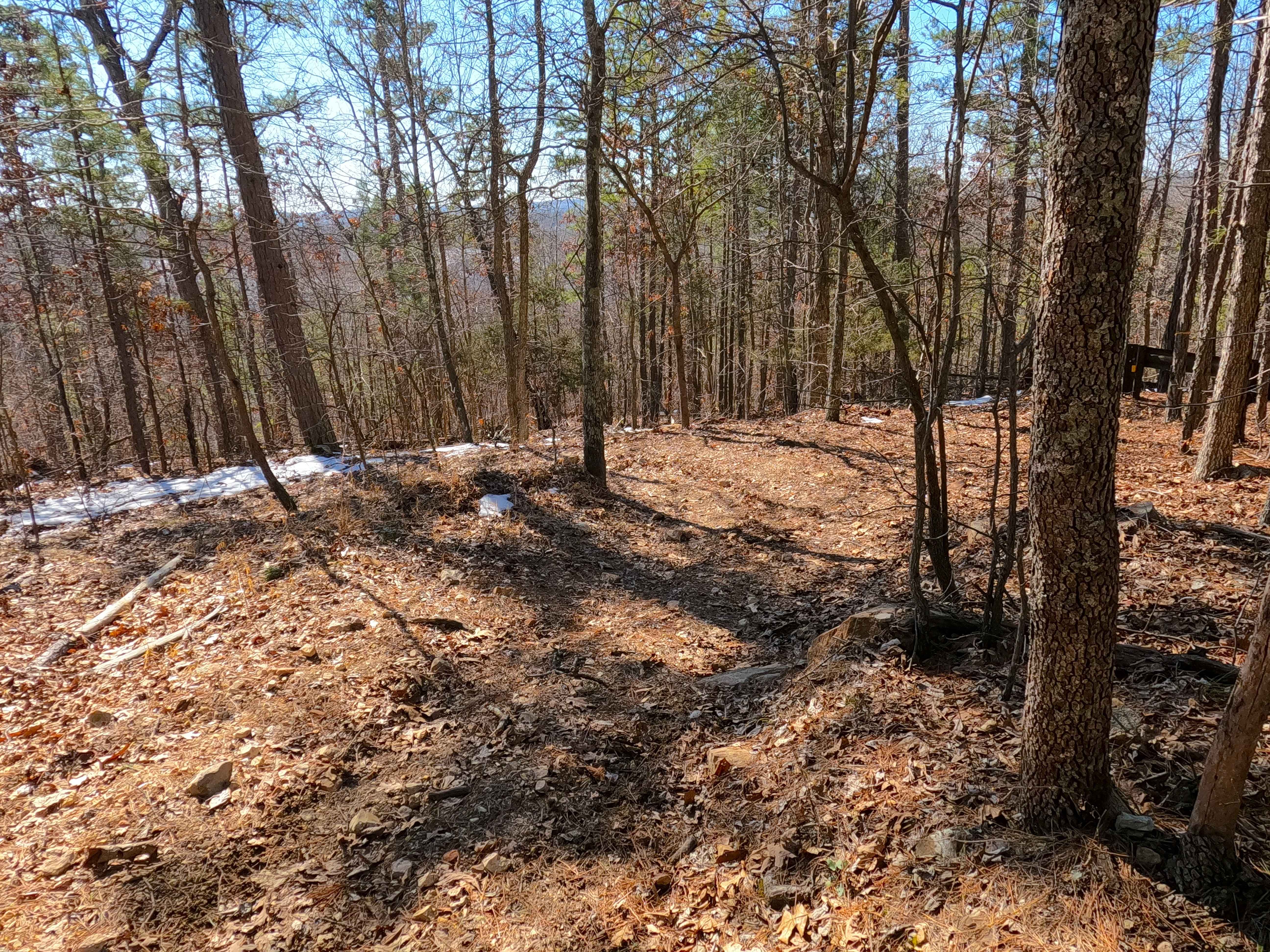
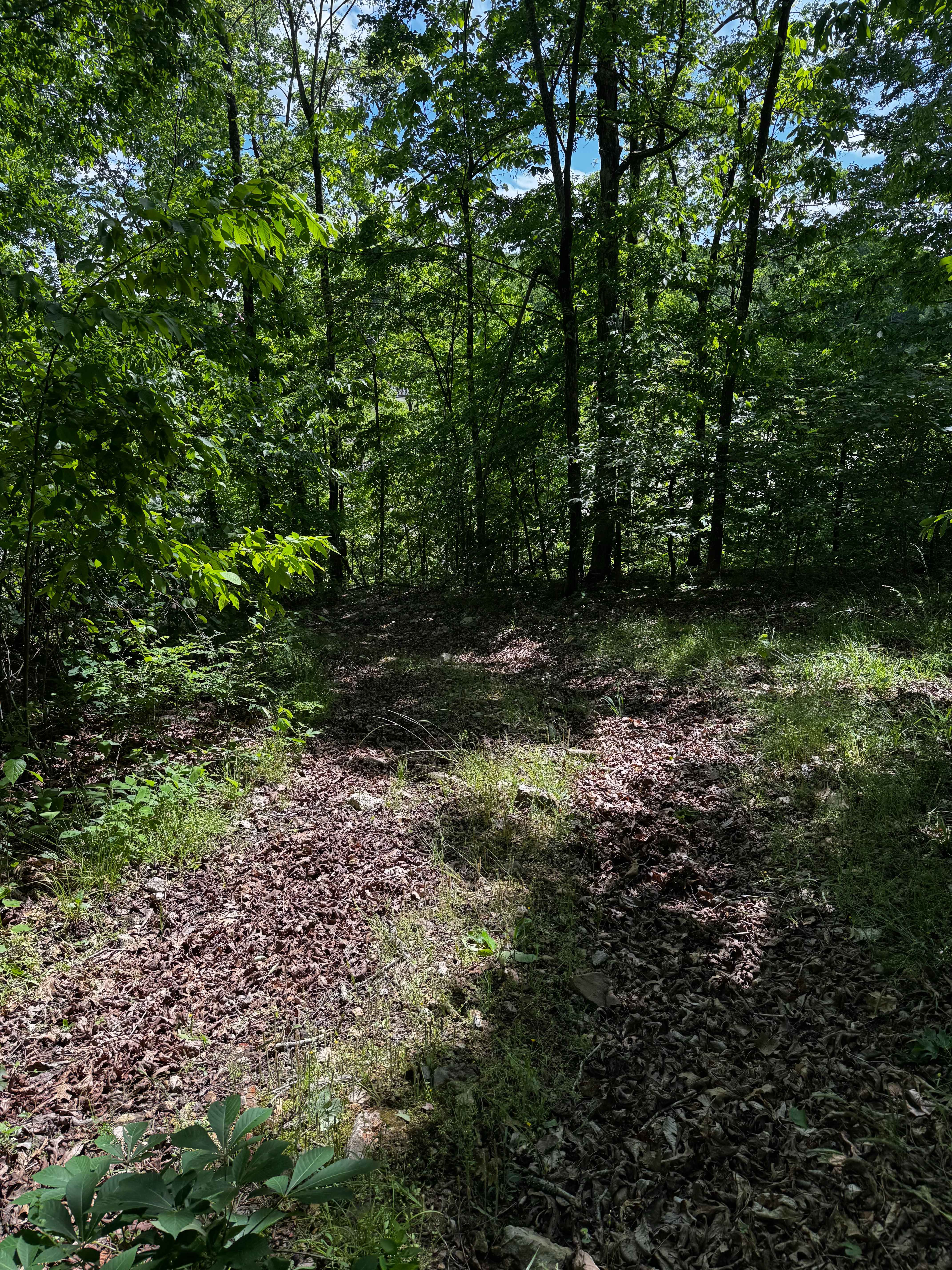
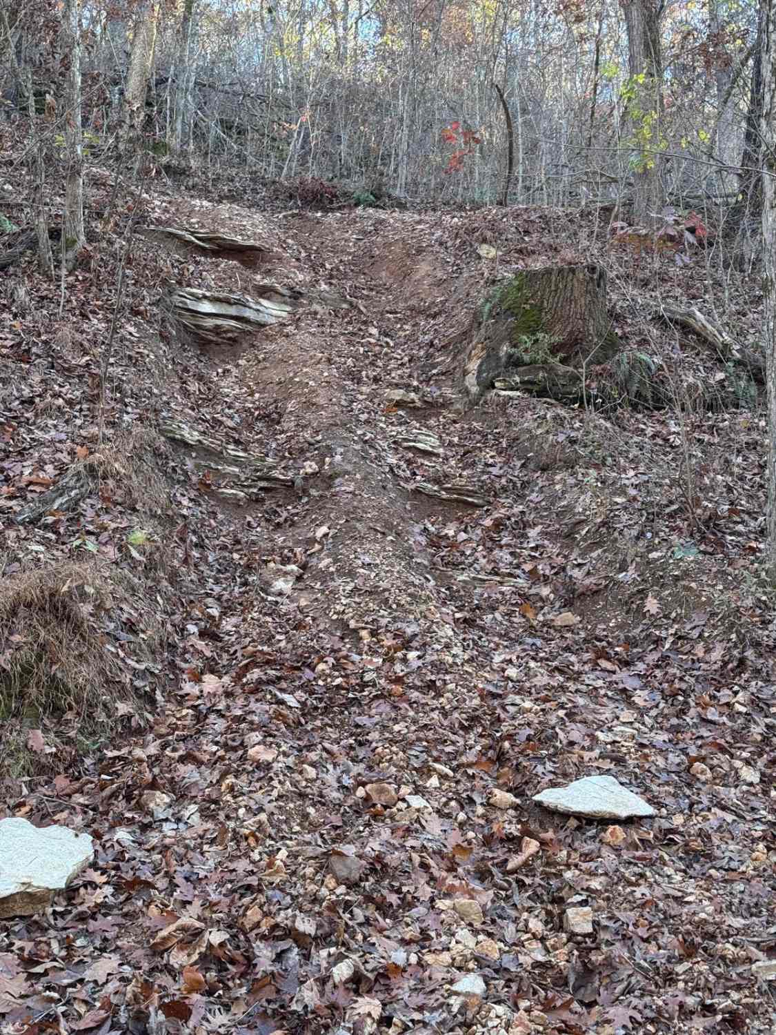
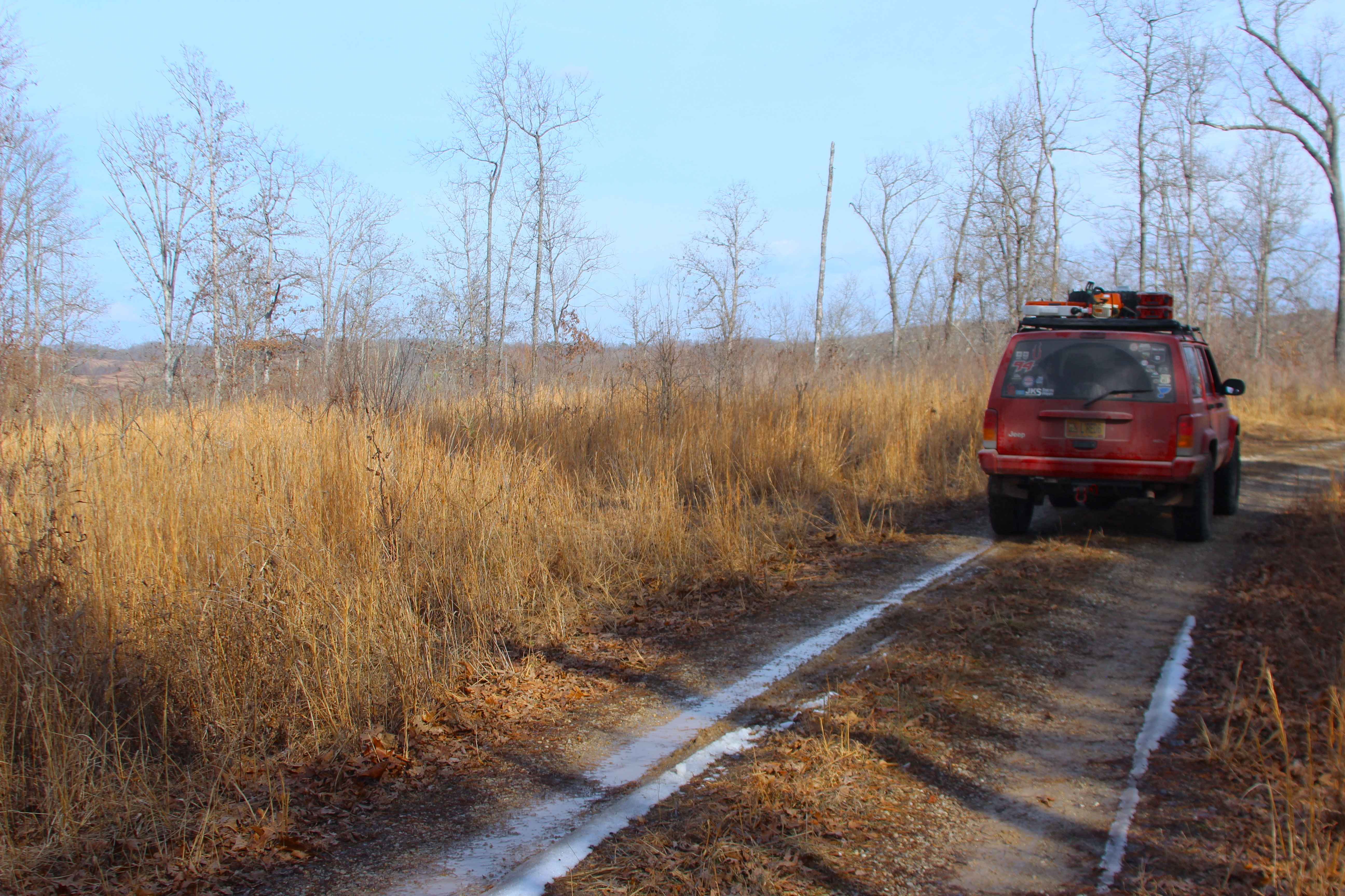
Trail Overview
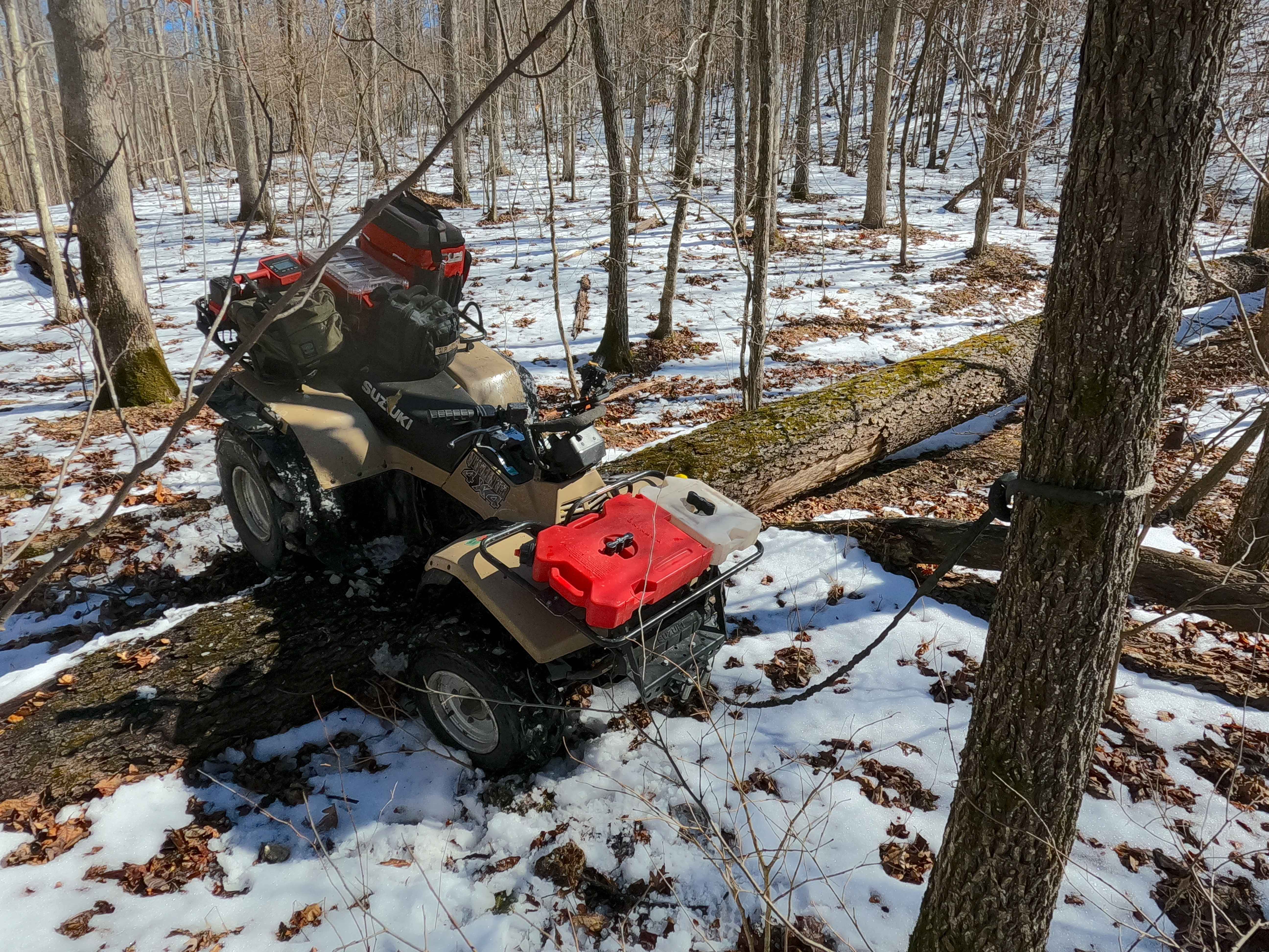
Sutton Bluff ATV 5, also known as North Stillwell Branch, with the legal/emergency ID SB 5, is a 50-inch and under restricted trail within the Sutton Bluff OHV trail system, managed by the Mark Twain National Forest Salem Unit. The SB 5 is a part of the "far east section" of Sutton Bluff OHV, oriented as an east-to-west trail, connecting between SB 4 South and SB 4 North on the west end and Karkaghne Scenic Drive on the east end. Summary of the SB 5 track, starting from its east end at the Karkaghne Scenic Drive, the trail starts heading southwest, shortly passing the SB 15 North, shortly leaving the ridgetop, plunging downhill, first over a small switchback section, dropping to the midway point, where the trail starts to parallel along the northern Stillwell Branch creek, slowly losing elevation in the valley bottom, crossing the Stillwell Branch several times, before climbing a short hill to the west conclusion at the 3-way crossing with SB 4 North and SB 5. SB 5 notable core elements include the eastern steep hilly grades with a few small switchbacks, a natural coarse-gravel-dirt path, featuring whoops, loose cobbles, mini boulders, natural rock slabs, tree roots, several Stillwell Branch creek water crossings, and small water-collection spots. To enjoy this trail and OHV system, obtain the required Sutton Bluff permit from Mark Twain National Forest, and if intending to use an ATV on Reynolds County Roads to commute between trails, obtain the Reynolds County ATV/UTV permit as well, in accordance with Missouri state laws.
Photos of Sutton Bluff ATV 5 - SB 5
Difficulty
The SB 4 South is given a base rating of 4/10, for having eroded 18-inch drop-offs into the creeks and for present large 18-inch trees crossing the trail. This is backed by many 3/10 rated elements such as small 3-12 inch water crossings and collection spots, with steep grades throughout the hills of the track, occasional small 3-12 inch fallen trees, tree roots acting as mini 3-8 inch ledges, loose 4-10 inch cobbles laying loose in the trail, 10 inch to 18 inch mini boulders and natrual slabs present or mostly buried within the ground as part of the path. Difficulty can increase, from heavy use and a lack of maintenance, large 12+ inch fallen trees blocking the trail, in wet or rainy conditions, inclement weather, or from damage sustained from flash flooding, and if actively flooding, consider the trail closed. Difficulty could decrease if the erosion rut were to be mended, or if the trail were diverted away from the current rut.
Status Reports
Sutton Bluff ATV 5 - SB 5 can be accessed by the following ride types:
- ATV (50")
- Dirt Bike
Sutton Bluff ATV 5 - SB 5 Map
Popular Trails
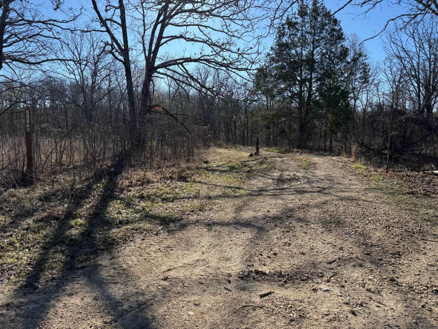
Brushy Ridge Spur A - FSR 606A
Hillside 70
Terrible Twos 147
Tick Hollow - FS 423A
The onX Offroad Difference
onX Offroad combines trail photos, descriptions, difficulty ratings, width restrictions, seasonality, and more in a user-friendly interface. Available on all devices, with offline access and full compatibility with CarPlay and Android Auto. Discover what you’re missing today!