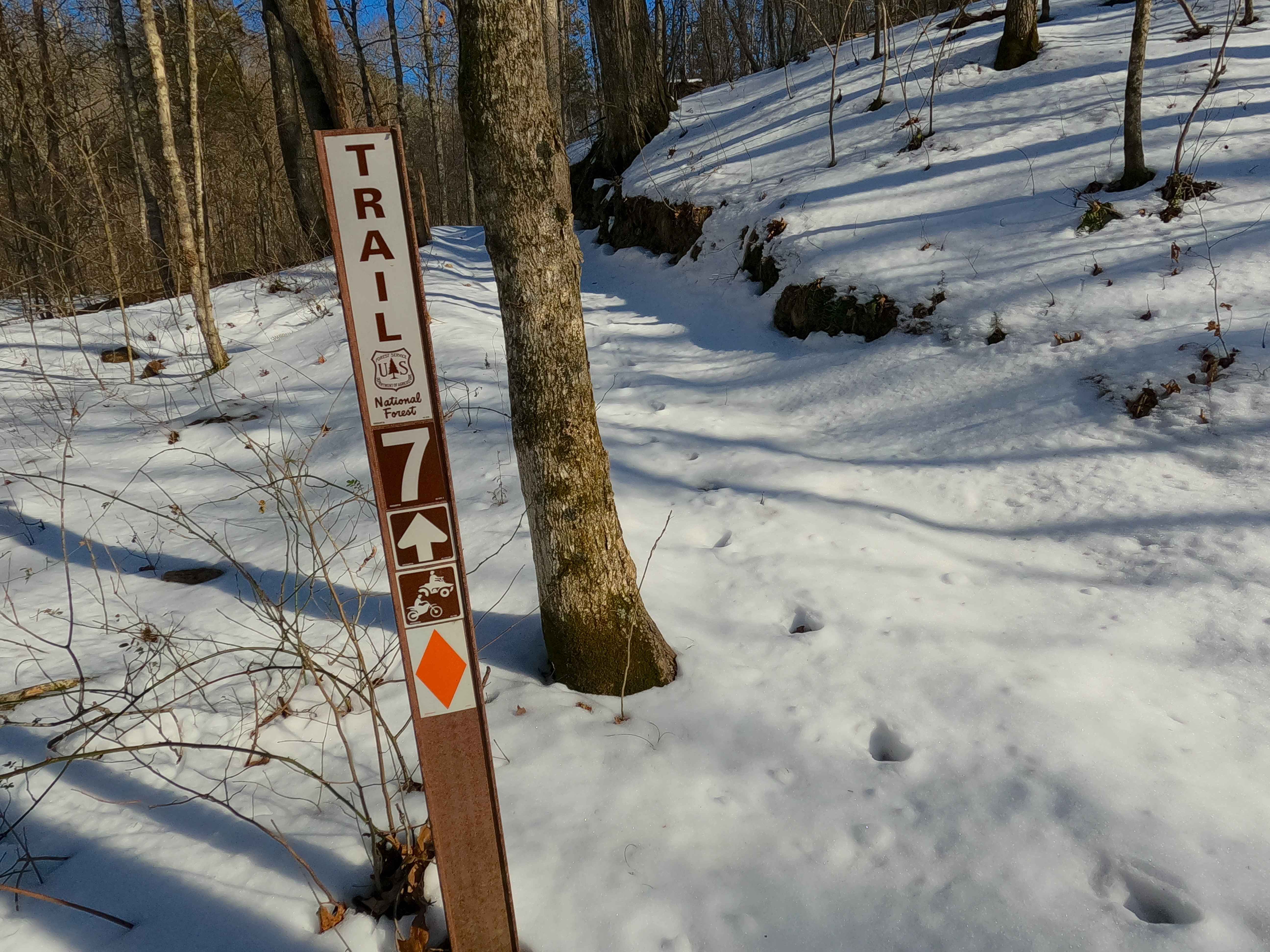
Sutton Bluff ATV 7 South - SB 7
Total Miles
3.6
Technical Rating
Best Time
Spring, Winter, Fall, Summer
Trail Type
50" Trail
Accessible By
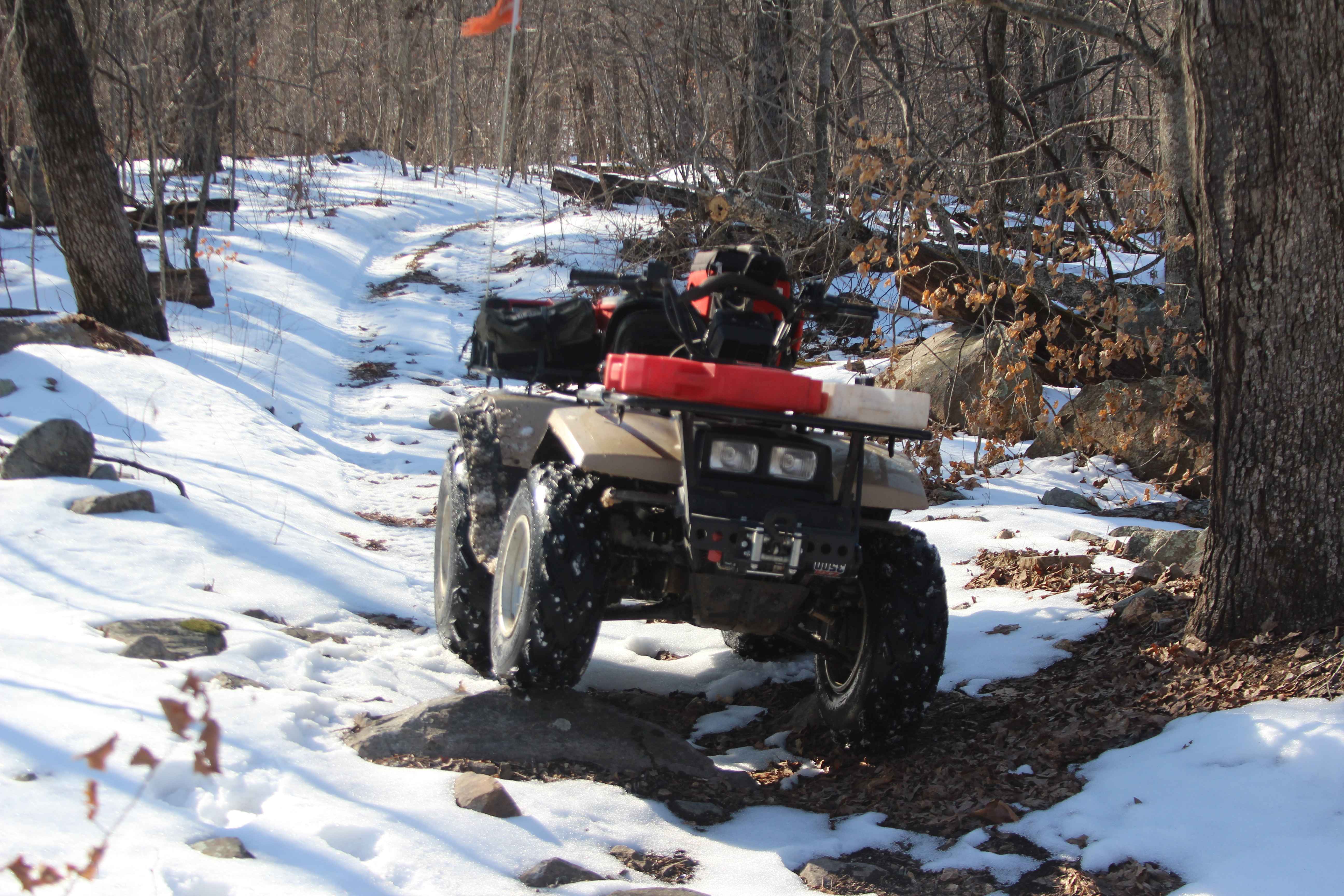
Trail Overview
Sutton Bluff ATV 7 (South Section), also known as Gladden Dale, with the legal/emergency ID SB 7, is a 50-inch and under restricted trail within the Sutton Bluff OHV trail system, managed by the Mark Twain National Forest Salem Unit. The SB 7 South is a part of the "far east section" of Sutton Bluff OHV, oriented as an east-to-west trail, connecting between the Karkaghne Scenic Drive and SB 7 North on the east, and the crossing with the SB 7 North and SB 14 South on the west end. The SB 7 South and SB 7 North together (as the entire SB 7) form a 5.3-mile loop and connect on both ends, the only such example in Sutton Bluff OHV. Summary of the SB 7 South track, staring at the east entry/trailhead, SB 7 South begins on the ridge top spines, first heading south, on a former full width road to a hard 90 turn at a large opening, where the trail turns west where the trail soon narrows, shortly by passing the SB 7 South restriction gate, passing the highest elevation right at the midway point, after which the track continues west going downhill, passing a great view southwest of the Stillwell Hollow, before encountering a switchback section, to conclude at a crossing with the SB 7 North and SB 14 South. SB 7 South's notable core elements include a ridge top section and then a downhill switchback section, via a natural coarse-gravel-dirt path, featuring whoops, loose cobbles, mini boulders, natural rock slabs, tree roots, and small water-collection spots. To enjoy this trail and OHV system, obtain the required Sutton Bluff permit from Mark Twain National Forest, and if intending to use an ATV on Reynolds County Roads to commute between trails, obtain the Reynolds County ATV/UTV permit as well, in accordance with Missouri state laws.
Photos of Sutton Bluff ATV 7 South - SB 7
Difficulty
The SB 7 South is given a base rating of 3/10, for having small 3 to 6-inch water collection spots, with steep grades throughout the eastern switchback section of the track, occasional small 3 to 12-inch fallen trees, tree roots acting as mini 3 to 8-inch ledges, loose 4 to 10-inch cobbles laying loose in the trail, 10 to 18-inch mini boulders and natrual slabs present or mostly buried within the ground as part of the path. Difficulty can increase, from heavy use and a lack of maintenance, large over 12-inch fallen trees blocking the trail, in wet or rainy conditions, inclement weather, or from damage sustained from flash flooding, and if actively flooding, consider the trail closed.
Status Reports
Sutton Bluff ATV 7 South - SB 7 can be accessed by the following ride types:
- ATV (50")
- Dirt Bike
Sutton Bluff ATV 7 South - SB 7 Map
Popular Trails
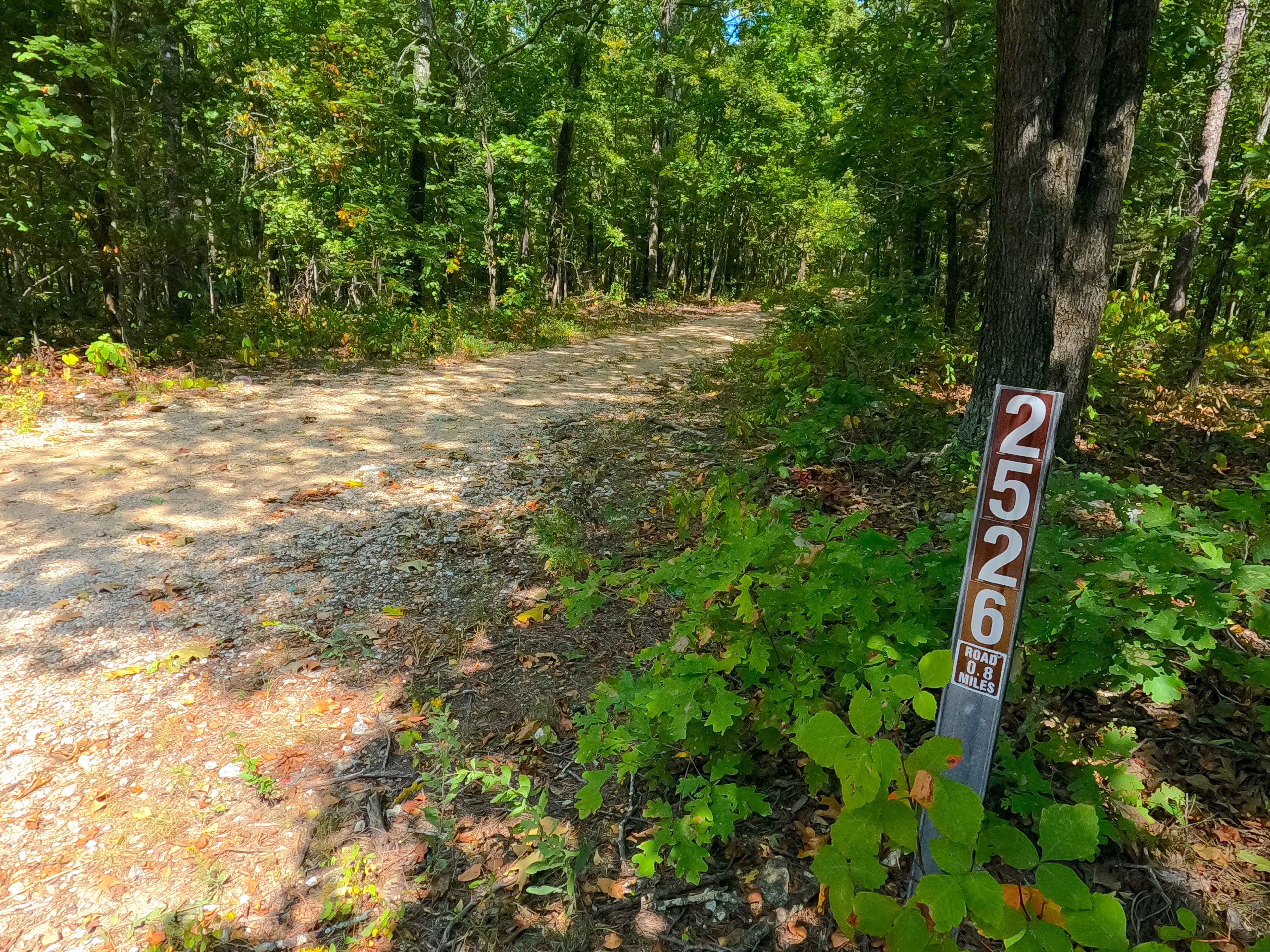
Big Buck - FS 2526

Cistern Ridge - FS 2478
The onX Offroad Difference
onX Offroad combines trail photos, descriptions, difficulty ratings, width restrictions, seasonality, and more in a user-friendly interface. Available on all devices, with offline access and full compatibility with CarPlay and Android Auto. Discover what you’re missing today!