Sutton Bluff ATV 4 South - SB 4
Total Miles
1.6
Technical Rating
Best Time
Spring, Summer, Fall, Winter
Trail Type
50" Trail
Accessible By
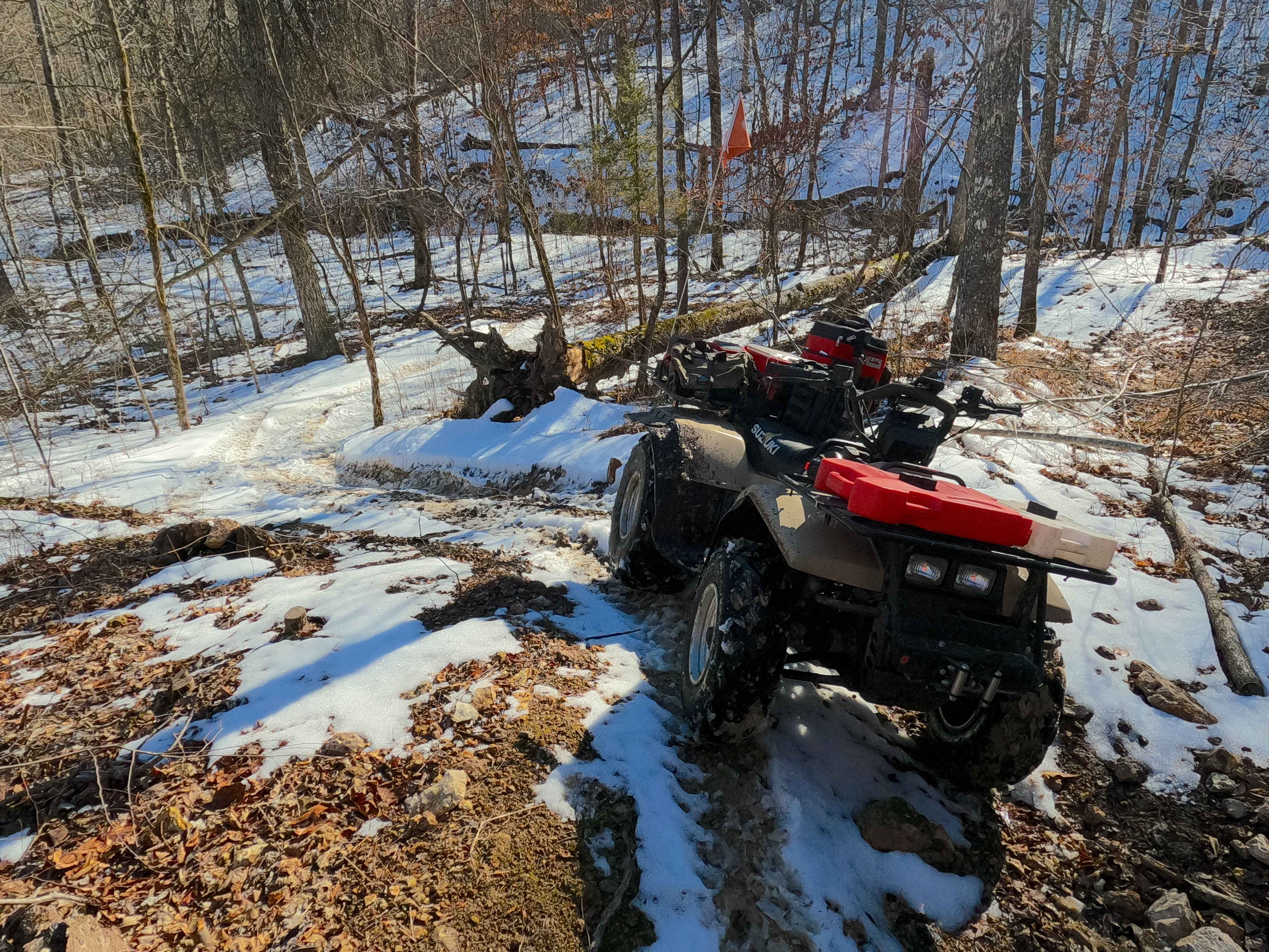
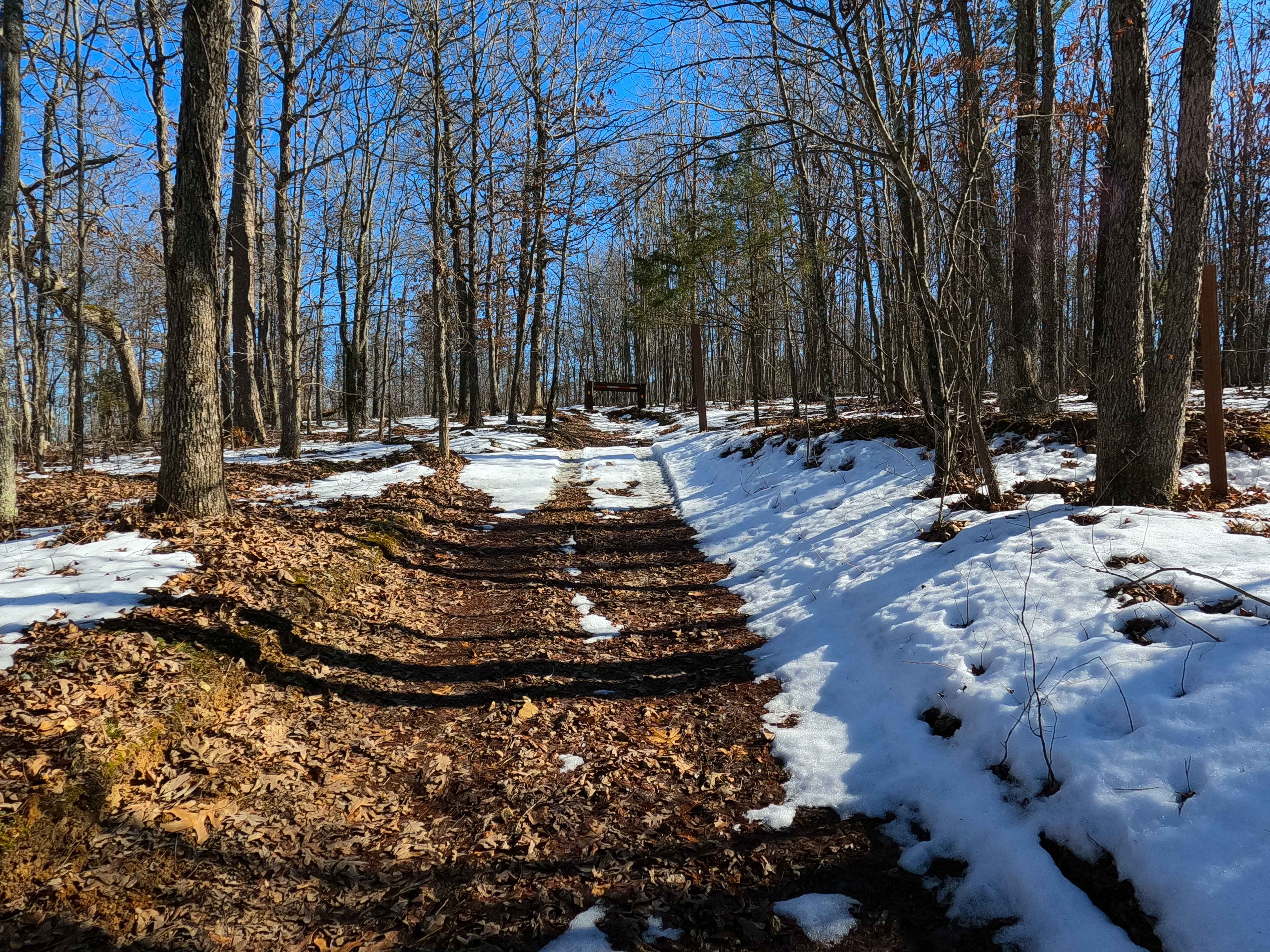
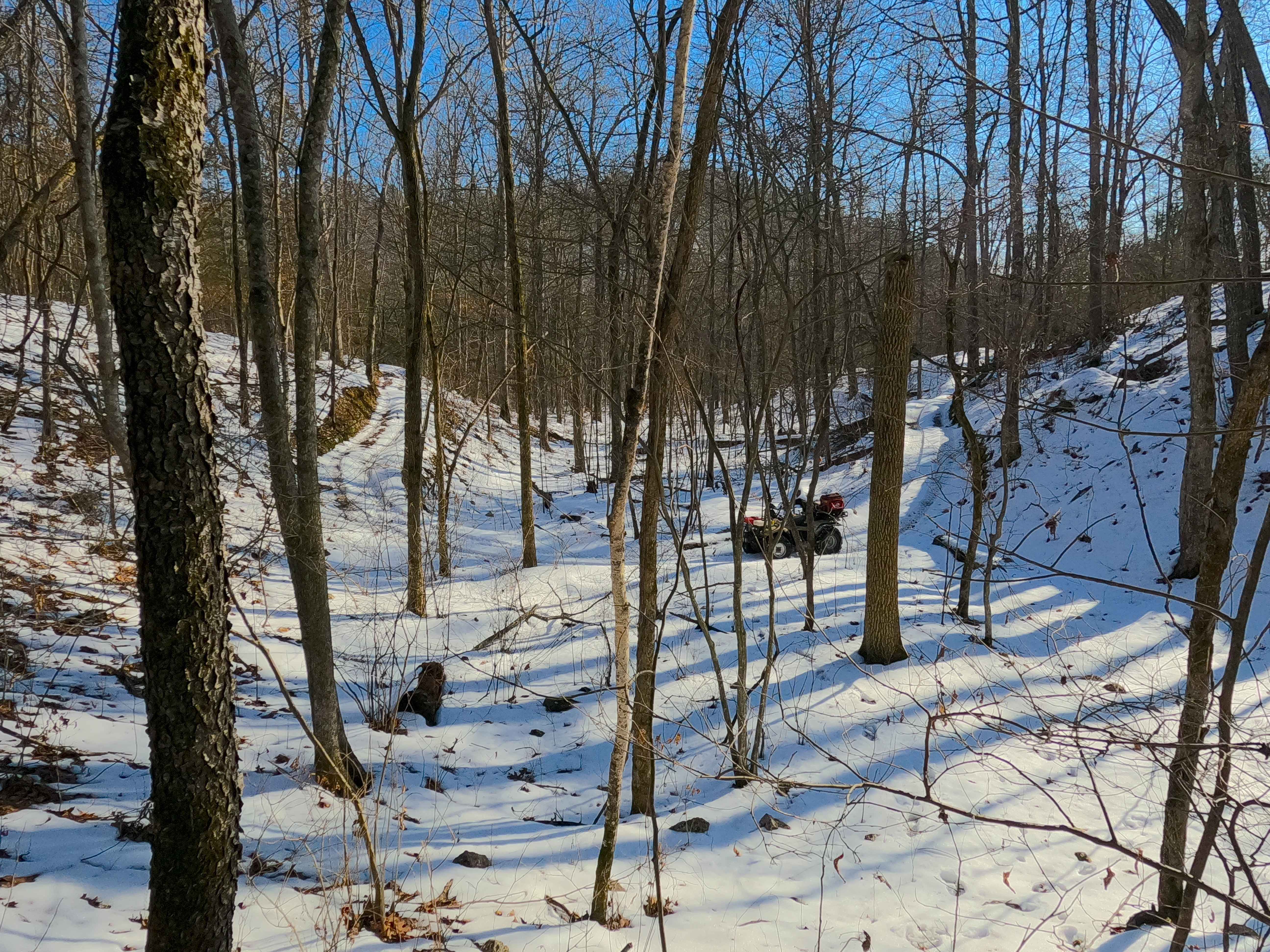
Trail Overview
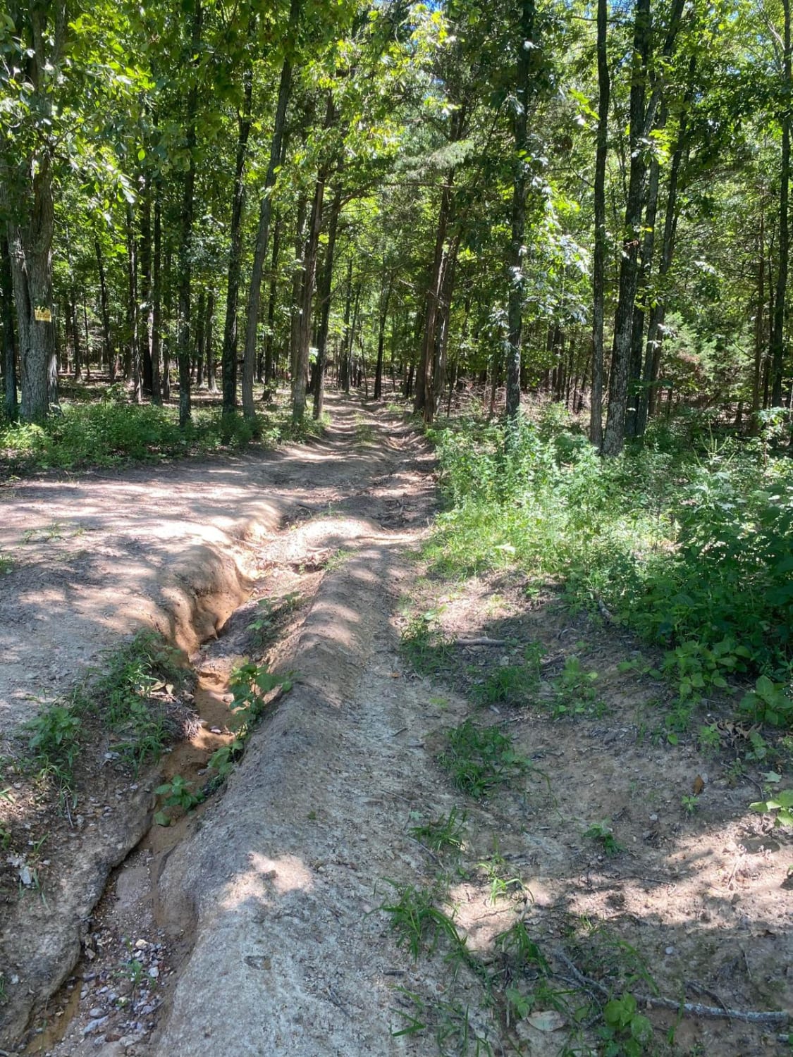
Sutton Bluff ATV 4 (South Section), also known as Hill Valley, with the legal/emergency ID SB 4, is a 50-inch and under restricted trail within the Sutton Bluff OHV trail system, managed by the Mark Twain National Forest Salem Unit. The SB 4 South is apart of the "far east section" of Sutton Bluff OHV, orientated as a V shaped trail, despite traveling mostly north and south, logistically the trail goes east-to-west, connecting between the Sutton Bluff Road / Reynolds County Road 849 at the west end, and the crossing with the SB 4 North and SB 5 on the east end. Summary of the SB 4 South track, starting from its west end at the Reynolds County Road 849, the trail starts heading southeast, shortly passing the SB 14 North, following the center ridge, the further south the steeper it goes downhill, with the steepest being after the track crosses the powerline tract, dropping to the southern most and midway point, where the trail makes a hard U turn, turning north to parallel along the Stillwell Branch creek, passing the powerline tract again, slowly climbing elevation in the seemingly mostly flat valley bottom, crossing the Stillwell Branch twice, before climbing a short steep hill with heavy off camber erosion to the east conclusion at the 3-way crossing with SB 4 North and SB 5. SB 4 South's notable core elements include the western steep hilly grades, via a natural coarse-gravel-dirt path, featuring whoops, loose cobbles, mini boulders, natural rock slabs, tree roots, two Stillwell Branch creek water crossings, and small water-collection spots. To enjoy this trail and OHV system, obtain the required Sutton Bluff permit from Mark Twain National Forest, and if intending to use an ATV on Reynolds County Roads to commute between trails, obtain the Reynolds County ATV/UTV permit as well, in accordance with Missouri state laws.
Photos of Sutton Bluff ATV 4 South - SB 4
Difficulty
The SB 4 South is given a base rating of 4/10, for having an off-camber, 18-inch deep eroded uphill rut near the eastern entry. This is backed by many 3/10 rated elements such as small 3 to 12-inch water crossings and collection spots, with steep grades throughout the hills of the track, occasional small 3 to 12-inch fallen trees, tree roots acting as mini 3 to 8-inch ledges, loose 4 to 10-inch cobbles laying loose in the trail, 10 to 18-inch mini boulders and natrual slabs present or mostly buried within the ground as part of the path. Difficulty can increase, from heavy use and a lack of maintenance, large 12-plus-inch fallen trees blocking the trail, in wet or rainy conditions, inclement weather, or from damage sustained from flash flooding, and if actively flooding, consider the trail closed. Difficulty could decrease if the erosion rut were to be mended or if the trail were diverted away from the current rut.
Status Reports
Sutton Bluff ATV 4 South - SB 4 can be accessed by the following ride types:
- ATV (50")
- Dirt Bike
Sutton Bluff ATV 4 South - SB 4 Map
Popular Trails
Skyline Drive - FS 150
Purple 402
Sutton Bluff ATV 14 South - SB 14
The onX Offroad Difference
onX Offroad combines trail photos, descriptions, difficulty ratings, width restrictions, seasonality, and more in a user-friendly interface. Available on all devices, with offline access and full compatibility with CarPlay and Android Auto. Discover what you’re missing today!