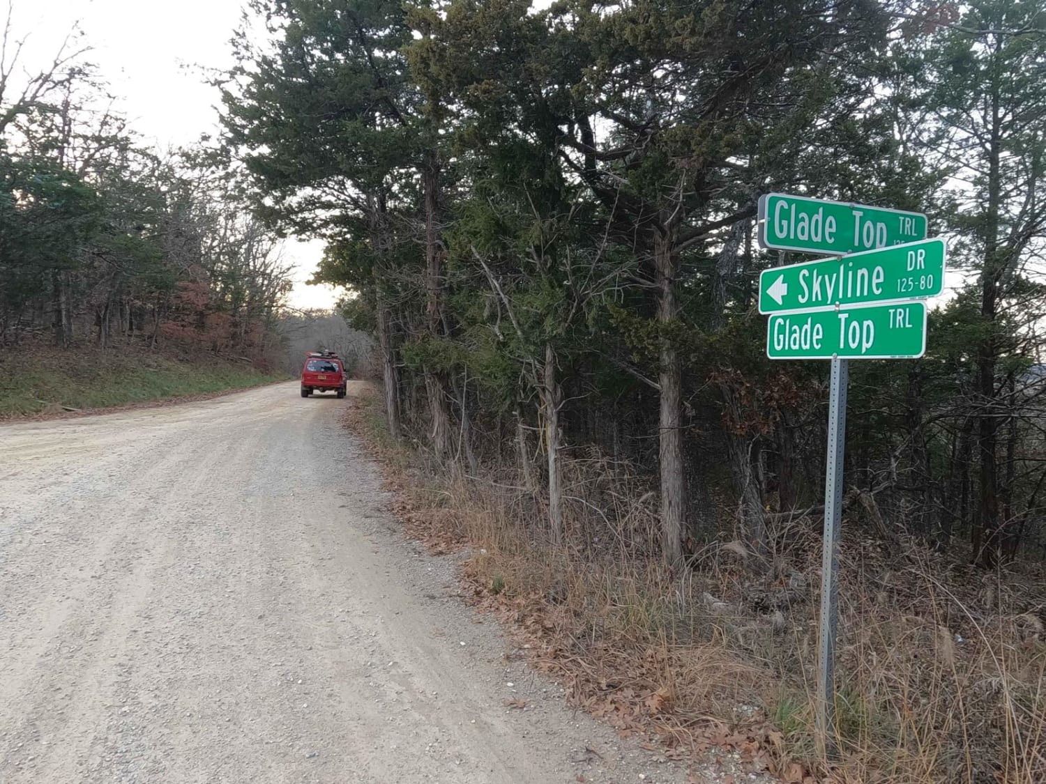
Skyline Drive - FS 150
Total Miles
7.2
Technical Rating
Best Time
Spring, Summer, Fall, Winter
Trail Type
Full-Width Road
Accessible By
Trail Overview
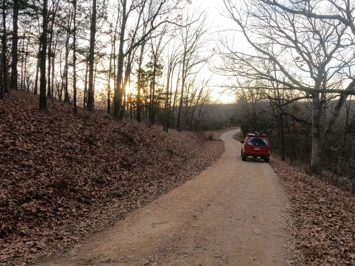
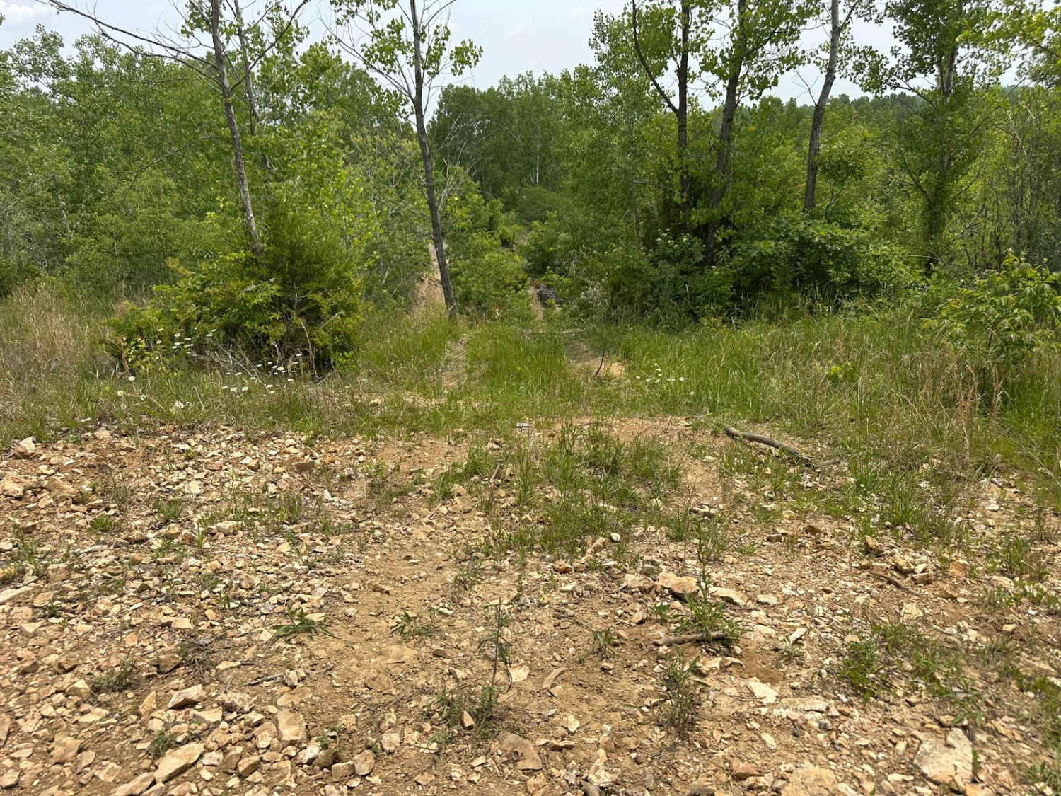
Skyline Drive FS 150, also named McAdoo on some maps due to proximity to McAdoo Creek, is the 7.3-mile long forestry road (the far west portion being 1 mile paved and the eastern 6.3 miles being maintained gravel) from Hercules, MO to the Pinnacle Mountain intersection. This is a primary road within the network of and directly off the official Glade Top National Scenic Byway, within Mark Twain National Forest, Ava Unit. If desiring widespread views, of natural ridge-top forest scenery, across the northern Ozark landscape, look no further. Skyline Drive, boasts breathtaking views for miles, showing off the rolling hilly area surrounding the maintained gravel road, the Glade Top primary roads are the foundational means of traversing the area from point to point or to the access points of the side trails. On Skyline Drive there are many dispersed camping sites roadside, overlooks such as Bald Camp (found at 36.73786, -92.84066), and small spur roads, along with historic spots of previous human settlements and homesteads. On the western end is the notable Pinnacle Mountain intersection at 36.73202, -92.77741, where the Skyline Drive FS 150 meets the Glade Top FS 147, both directions of the FS 147 have individual feature trails within OnX, titled separately as Glade Top South and Glade Top North.
Photos of Skyline Drive - FS 150
Difficulty
The difficulty of the Skyline Drive FS 150 is minimal. Along its track, you'll encounter mild graded inclines/declines, potholes, washboard, and mounding of the gravel. In spots, there may also be natural rock sticking out at the road surface. It's given a 1/10 for this simplicity. Difficulty could increase in times of wet and inclement conditions and after heavy use, but the road is rarely left in a rough state.
History
The Glade Top Trail is a Civilian Conservation Corps [CCC] built road that was designated a Scenic Byway in 1989. Portions of Forest Roads 147, 149, and 150 comprise the trail. The trail follows a series of ridgetops through the central glade area of the White River Hills. The Glade Top Trail is little changed from the original road constructed by the Civilian Conservation Corps in the late 1930s. For twenty-three miles, the two-lane, all-weather gravel road follows narrow ridge tops rising approximately 500 feet above the surrounding rolling countryside and overlooks and passes through many limestone/dolomite glades interspersed with open and closed woodlands. (Sourced from the USDA website.)
Status Reports
Skyline Drive - FS 150 can be accessed by the following ride types:
- High-Clearance 4x4
- SUV
Skyline Drive - FS 150 Map
Popular Trails

Yee Haw Ledges 112
The onX Offroad Difference
onX Offroad combines trail photos, descriptions, difficulty ratings, width restrictions, seasonality, and more in a user-friendly interface. Available on all devices, with offline access and full compatibility with CarPlay and Android Auto. Discover what you’re missing today!