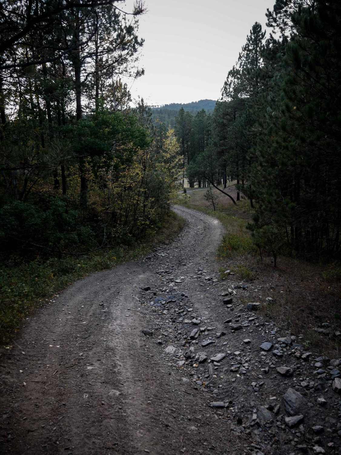
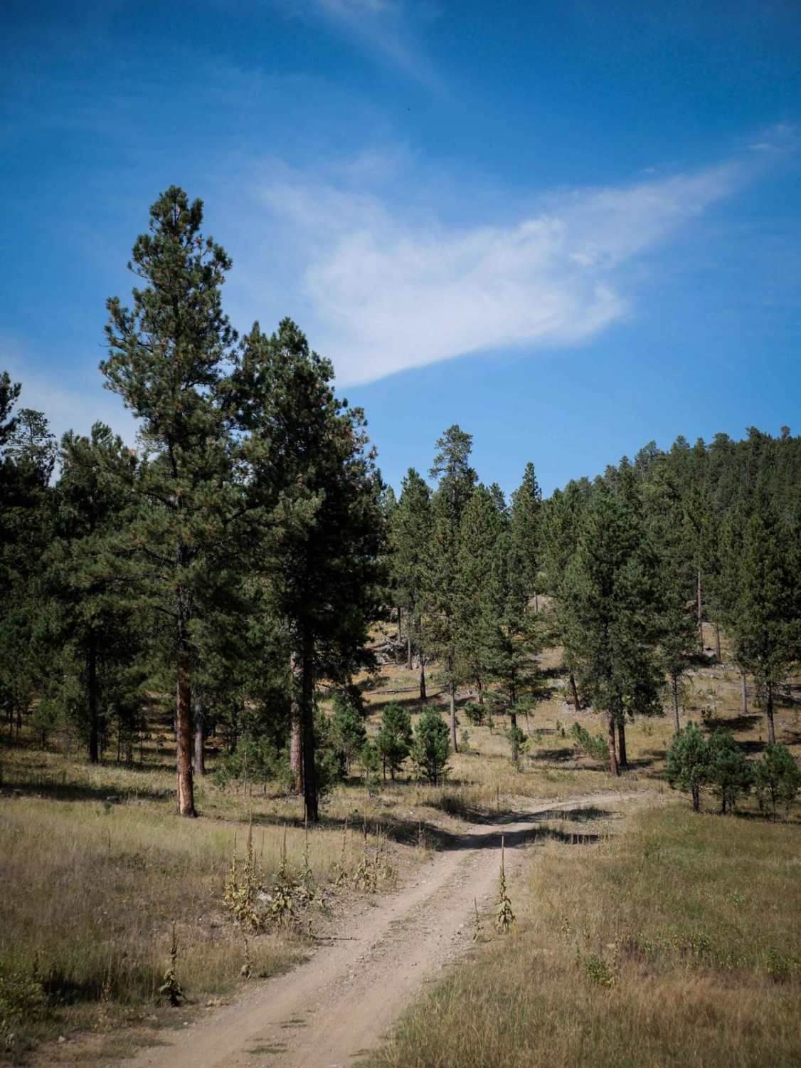
Off-Road Trails in South Dakota
Discover off-road trails in South Dakota
Learn more about Trebor Draw - FS 631.2
Trebor Draw - FS 631.2
Total Miles
2.5
Tech Rating
Easy
Best Time
Summer, Fall
Learn more about Trix - 6311
Trix - 6311
Total Miles
0.1
Tech Rating
Moderate
Best Time
Summer, Fall, Winter, Spring
Learn more about Turkey Ridge - 719
Turkey Ridge - 719
Total Miles
2.0
Tech Rating
Easy
Best Time
Spring, Summer, Fall, Winter
Learn more about Twin Springs Cutoff (Branch 1A)
Twin Springs Cutoff (Branch 1A)
Total Miles
1.2
Tech Rating
Easy
Best Time
Summer, Fall
Learn more about Veterans Peak Trail
Veterans Peak Trail
Total Miles
0.7
Tech Rating
Easy
Best Time
Spring, Summer, Fall


Learn more about Victoria 11 
Victoria 11
Total Miles
1.4
Tech Rating
Moderate
Best Time
Summer, Fall, Spring
Learn more about Victoria 13 
Victoria 13
Total Miles
8.3
Tech Rating
Moderate
Best Time
Summer, Fall, Spring
Learn more about Victoria 14 
Victoria 14
Total Miles
3.6
Tech Rating
Moderate
Best Time
Summer, Fall, Spring
Learn more about Victoria 159
Victoria 159
Total Miles
11.0
Tech Rating
Easy
Best Time
Spring, Summer, Fall, Winter
Learn more about Victoria 162
Victoria 162
Total Miles
3.3
Tech Rating
Easy
Best Time
Spring, Summer, Fall, Winter
Learn more about Victoria Lake Dam - FS 6704
Victoria Lake Dam - FS 6704
Total Miles
0.4
Tech Rating
Easy
Best Time
Spring, Summer, Fall
Learn more about West DeerField - FS 110
West DeerField - FS 110
Total Miles
8.0
Tech Rating
Easy
Best Time
Spring, Summer, Fall
Learn more about White House Gulch FS RD 477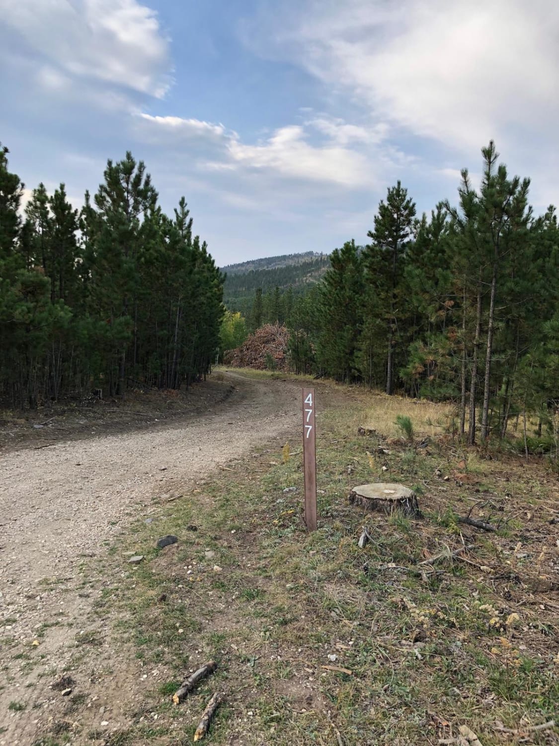
White House Gulch FS RD 477
Total Miles
4.6
Tech Rating
Easy
Best Time
Spring, Summer, Fall
Learn more about White Tail Peak
White Tail Peak
Total Miles
4.7
Tech Rating
Moderate
Best Time
Summer, Fall
Learn more about Whitetail Peak South 
Whitetail Peak South
Total Miles
2.2
Tech Rating
Easy
Best Time
Spring, Summer, Fall
ATV trails in South Dakota

UTV/side-by-side trails in South Dakota
The onX Offroad Difference
onX Offroad combines trail photos, descriptions, difficulty ratings, width restrictions, seasonality, and more in a user-friendly interface. Available on all devices, with offline access and full compatibility with CarPlay and Android Auto. Discover what you’re missing today!