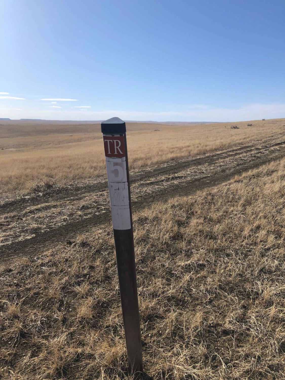
Trail 564
Total Miles
5.6
Technical Rating
Best Time
Summer
Trail Type
Full-Width Road
Accessible By
Trail Overview
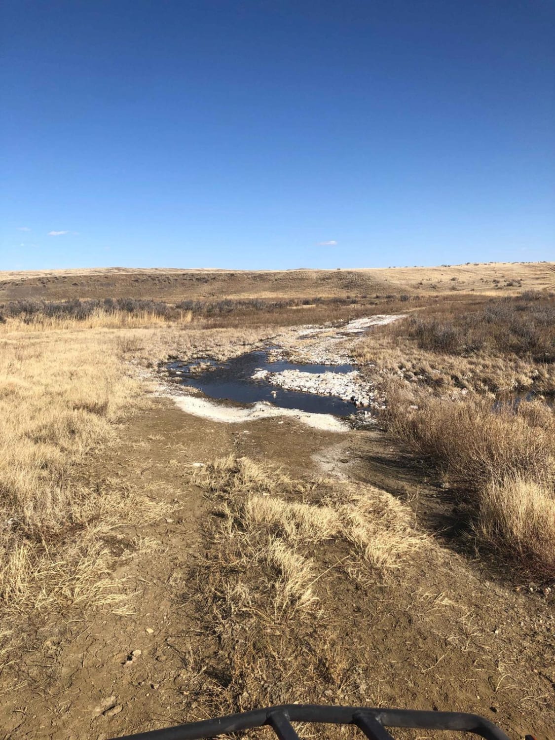
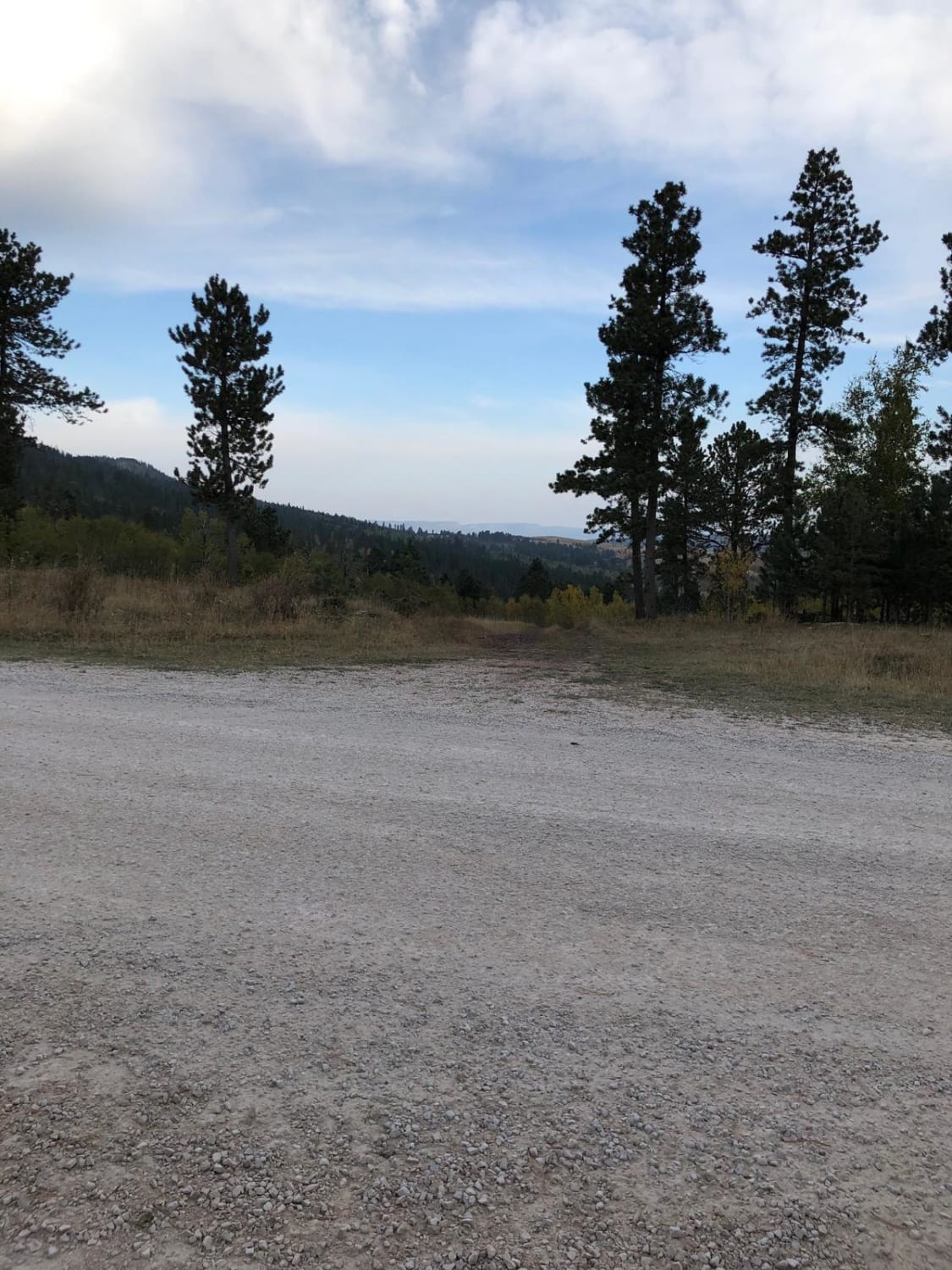
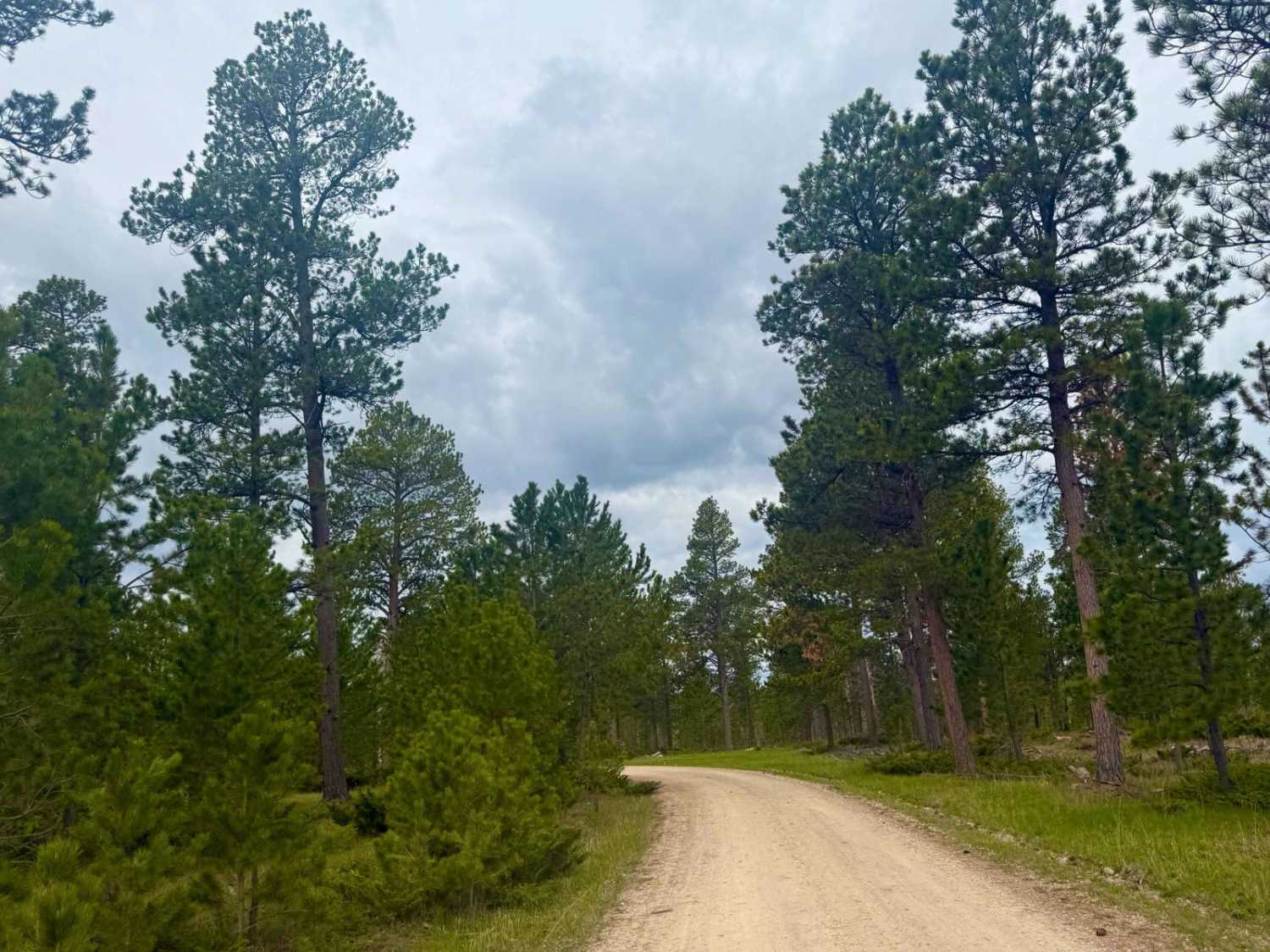
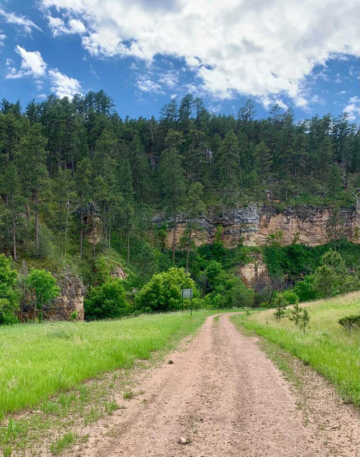
This is a trail within the Buffalo Gap National Grassland in Fall River County, South Dakota. It's mostly a trail through the scenic prairie and has 1-2 water crossings. There appear to be options for hunting and camping here--check local regulations on both activities. Watch out for mule deer and pronghorn antelope.
Photos of Trail 564
Difficulty
There are 1-2 water crossings.
Status Reports
Trail 564 can be accessed by the following ride types:
- High-Clearance 4x4
- SUV
- SxS (60")
- ATV (50")
- Dirt Bike
Trail 564 Map
Popular Trails
South Castle Creek
Song Dog Road
The onX Offroad Difference
onX Offroad combines trail photos, descriptions, difficulty ratings, width restrictions, seasonality, and more in a user-friendly interface. Available on all devices, with offline access and full compatibility with CarPlay and Android Auto. Discover what you’re missing today!