Victoria 13
Total Miles
8.3
Technical Rating
Best Time
Summer, Fall, Spring
Trail Type
Single Track
Accessible By
Trail Overview
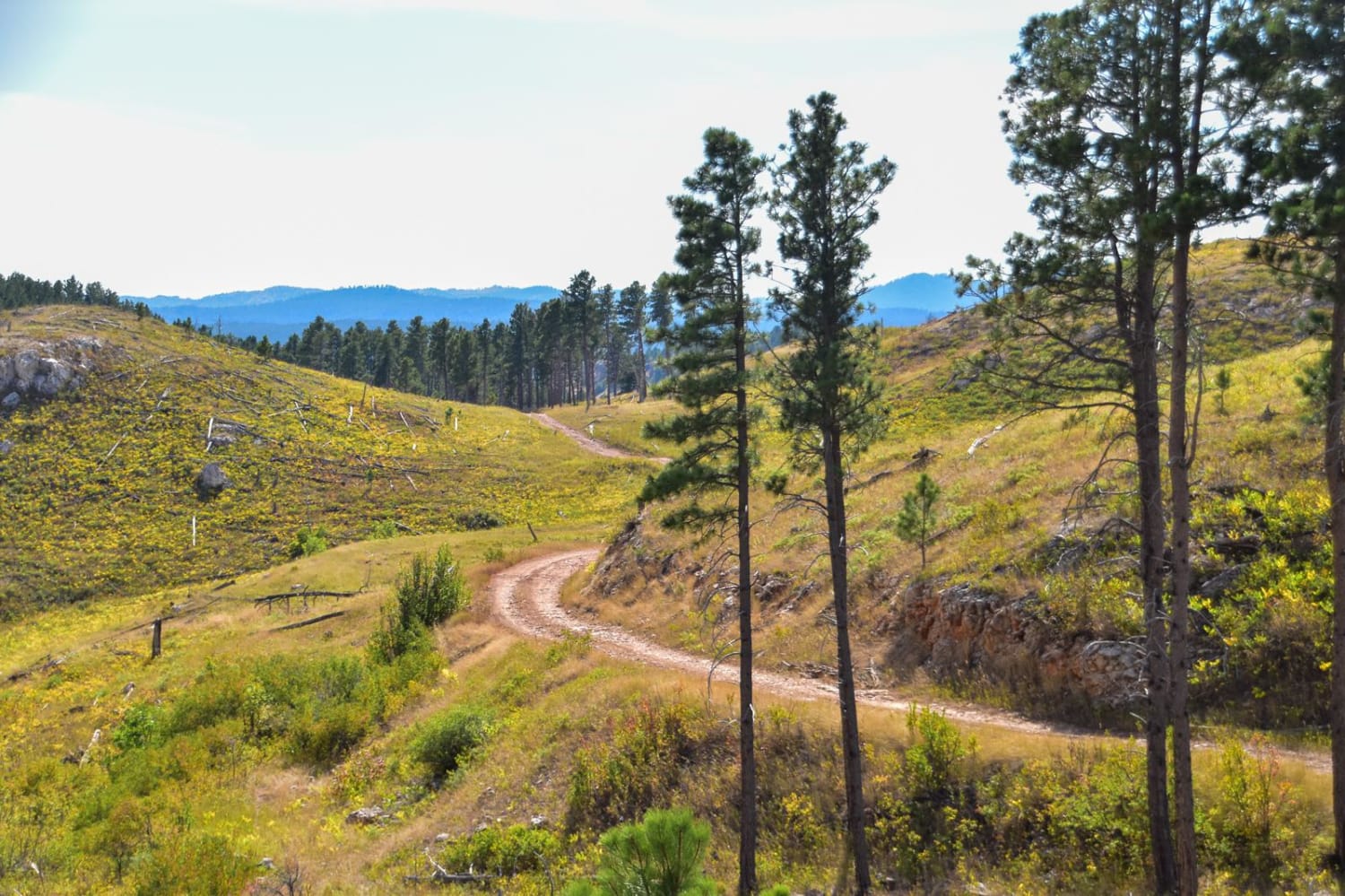
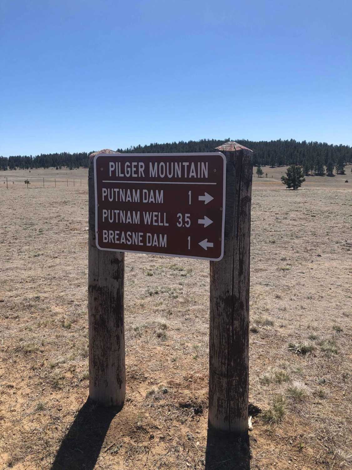
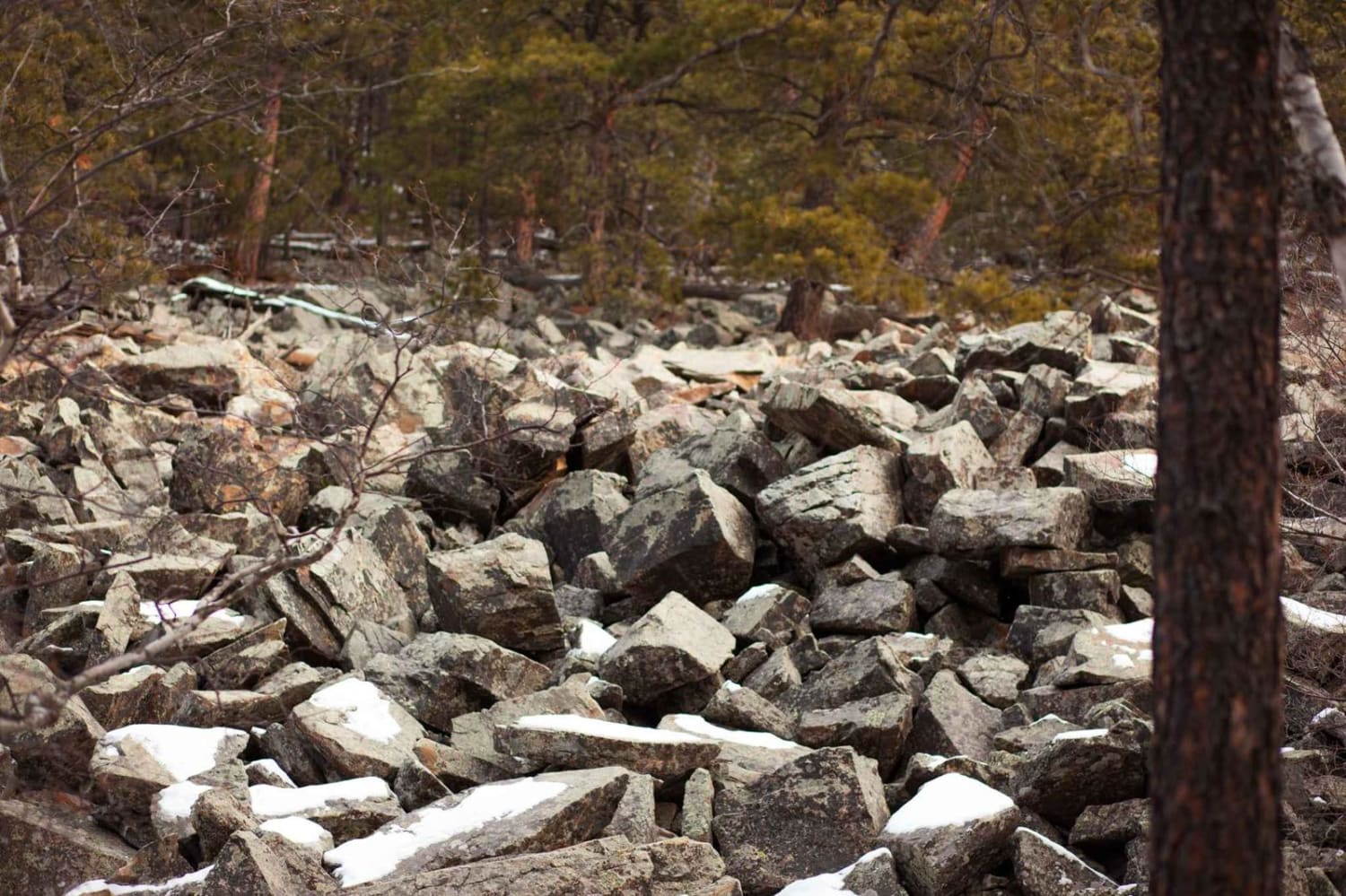
Victoria 13 is a long single track through the Victoria Trail System of the Black Hills, that has some tricky climbs and a constantly rocky surface. The west end starts off of Brush Creek Road, and it winds through the forest for 8.6 miles, crossing multiple dirt roads along the way that could be used as bailouts. There's a rerouted entrance on the west side, just a bit further north up Brush Creek Road. A lot of the route is just easy single track, winding through the wide open forest, through widely dispersed tall skinny pine trees. It's easy and smooth in the beginning, but you do need to watch out for stumps on the side of the trail. It goes into a gully with lots of overgrown branches and bushes, with more shade than the rest of the trail. It crosses big wide meadows, then starts to steeply climb up rockier slopes that are more difficult. The trail is constantly going up and down the rolling hills of this forest, with a mix of steep and gradual hills, but is consistently covered in small embedded rocks as it curves through the pine trees on a skinny trail. It crosses tiny streams, small logs that are down, and goes through some aspen trees for a change, with low-hanging branches. It gets harder as you go east, with steeper climbs, and a rockier surface, with bigger jagged and chunky rocks in the trail, and embedded roots that make the climbs more difficult. At about 4.7 miles from the west entrance, there was a right-hand turn that's easy to miss, and if you miss it, you'll end up going straight up a hill that's the wrong way. Overall it's a pretty fun trail with some challenging climbs. It's the longest and hardest trail in the Victoria trail system, so also probably the most popular. It's open 5/15 - 12/15 to motorized use.
Photos of Victoria 13


Difficulty
This is a 5 difficulty for several difficult climbs that are rocky, steep, and loose. They have big boulders in the trail, but no giant ledges or specific obstacles, it's just constantly rocky. For example, there was one climb that a local on a 500 couldn't make it up.
Status Reports
Victoria 13 can be accessed by the following ride types:
- Dirt Bike
Victoria 13 Map
Popular Trails

Whitetail Peak South
Foster's Gultch
Fruity Pebbles Trail 1
The onX Offroad Difference
onX Offroad combines trail photos, descriptions, difficulty ratings, width restrictions, seasonality, and more in a user-friendly interface. Available on all devices, with offline access and full compatibility with CarPlay and Android Auto. Discover what you’re missing today!