Whitetail Peak South
Total Miles
2.2
Technical Rating
Best Time
Spring, Summer, Fall
Trail Type
Full-Width Road
Accessible By
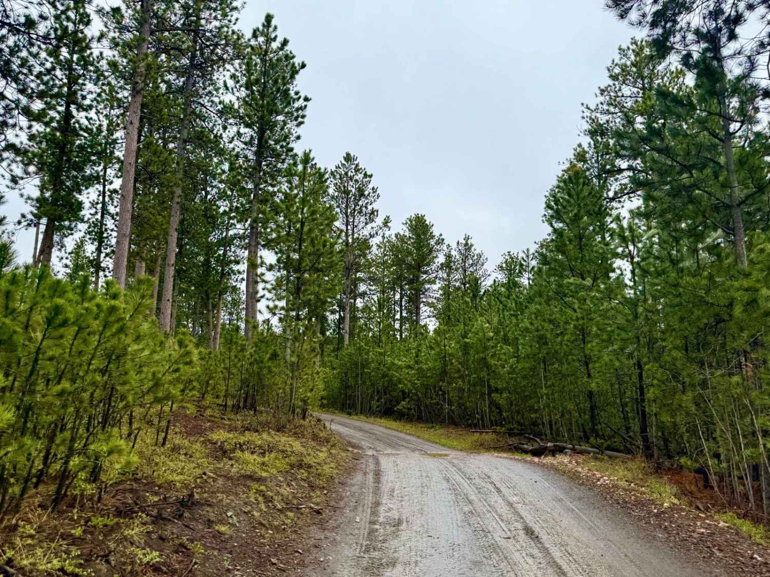
Trail Overview
White Tail Peak South is the calm before (or after) the chaos -- a smoother, more flowy section that winds through the lower forest with well-maintained tread and mellow grades. It still carries that remote feel, but it's almost relaxing compared to the northern portion. Long sweeping curves, gentle climbs, and packed gravel sections make it approachable for most rigs. The contrast is wild -- you'll go from axle-snapping mud up top to this forest cruise that almost feels like it was built for scenery. Ideal as a warm-up or cool-down if you're linking into the more challenging northern route. A few pull-offs could serve as dispersed camp zones, especially where the trail widens in shaded glades. Good sign of deer and turkey in the area, and you'll get brief views of the surrounding ridges if you're watching for them. Still remote, still wild -- but a friendly reminder that not every mile has to fight back. Pack in, pack out, leave no trace, and tread lightly.
Photos of Whitetail Peak South

Difficulty
While typically well maintained its always best to check local conditions as the Black Hills Weather Patterns can change rapidly. Can be muddy and slick in spots after heavy rains
Status Reports
Whitetail Peak South can be accessed by the following ride types:
- High-Clearance 4x4
- SUV
- SxS (60")
- ATV (50")
- Dirt Bike
Whitetail Peak South Map
Popular Trails

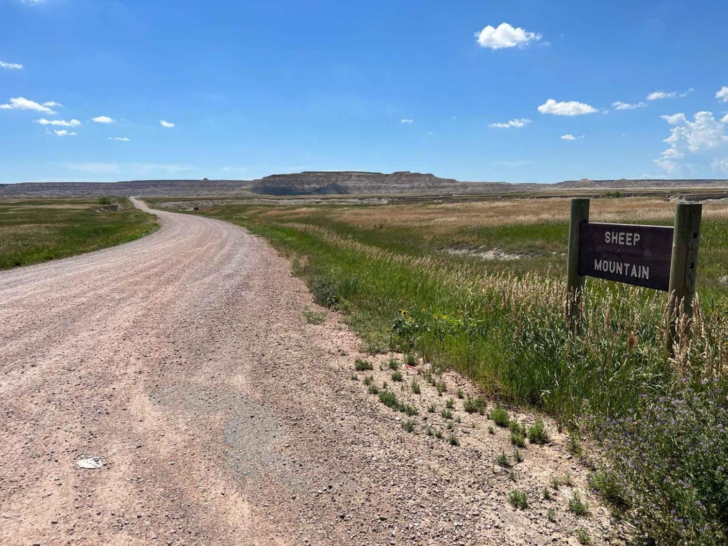
Sheep Mountain Table Road
Medicine Mountain Road
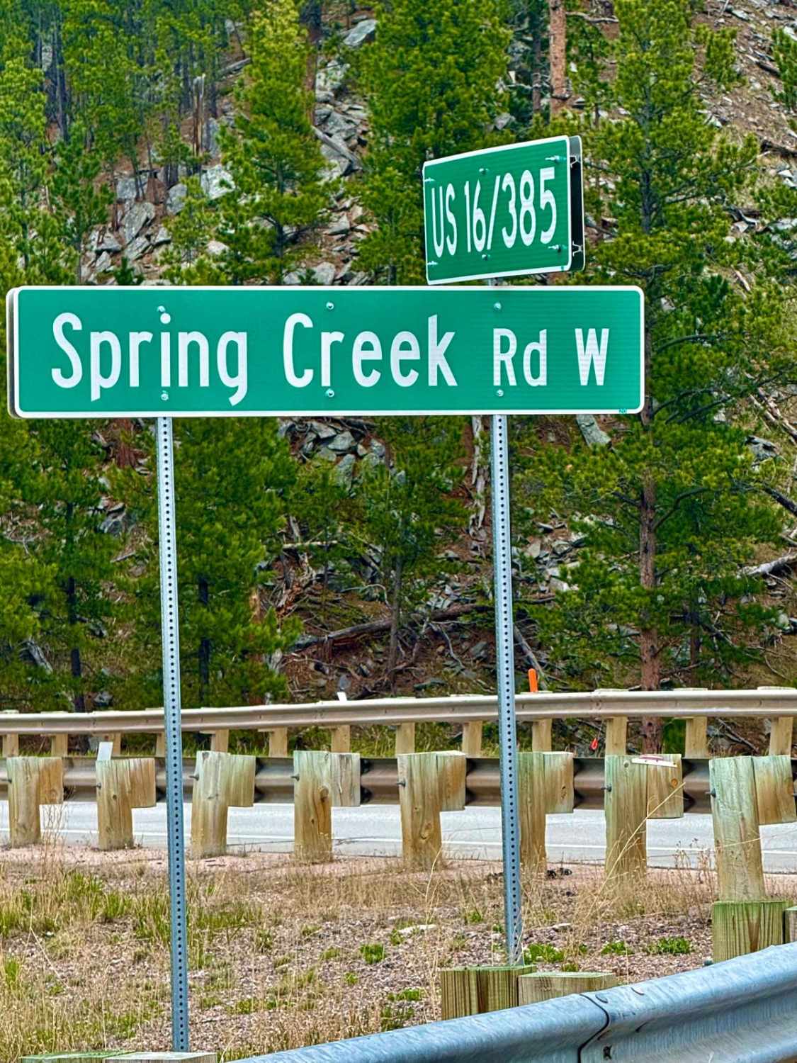
Spring Creek Road - FS 305
The onX Offroad Difference
onX Offroad combines trail photos, descriptions, difficulty ratings, width restrictions, seasonality, and more in a user-friendly interface. Available on all devices, with offline access and full compatibility with CarPlay and Android Auto. Discover what you’re missing today!