Shanks 6606
Total Miles
1.2
Technical Rating
Best Time
Summer, Fall, Spring
Trail Type
Single Track
Accessible By
Trail Overview
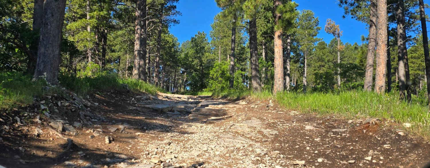
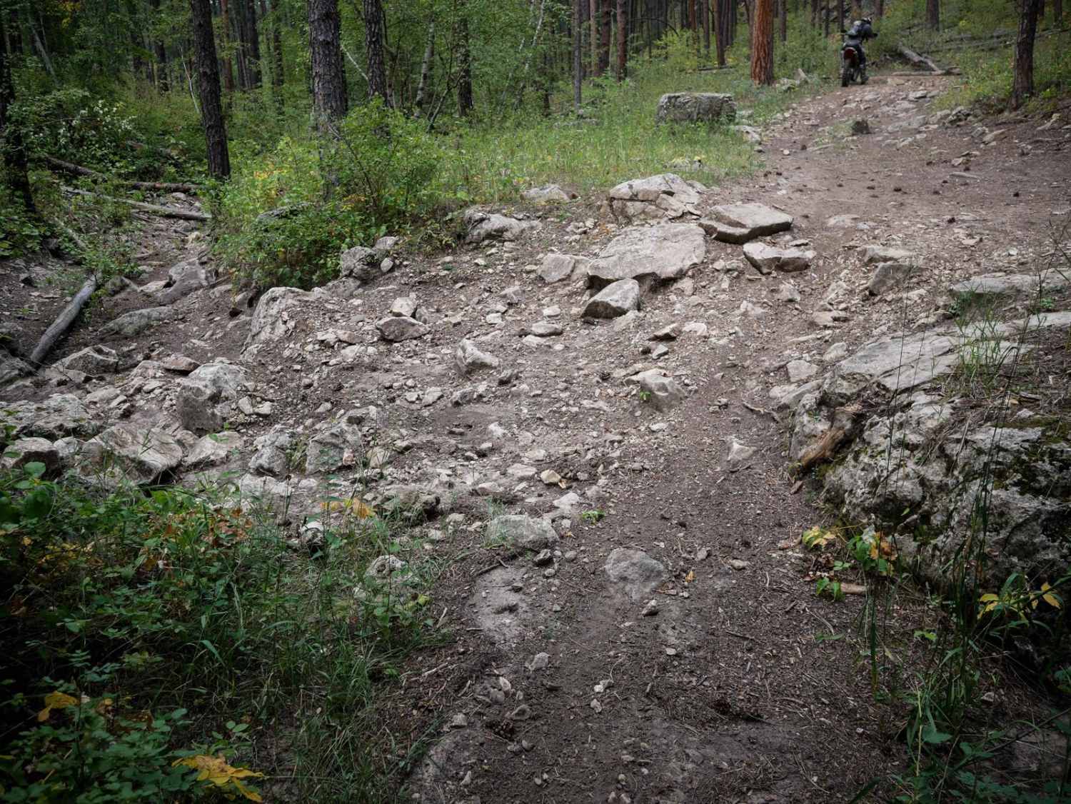
This is a short single track through the Black Hills but has technical rocky sections that make it an intermediate trail. There are a few smooth sections through the forest, but the majority of the trail is covered in small loose rocks or small embedded rocks. There are lots of roots and sticks littering the trail, and it sometimes blends in with the forest floor, making it hard to see at times. There are a few logs down as well that are easy enough to ride over. This trail has several steeper hill climbs with lots of small loose rock, and downhills that are also a very rocky surface. Be prepared for tight turns through the trees, and ruts filled in with lots of sharp jagged small rocks. It's a very jarring rock surface. It's really scenic though, with lots of deciduous trees, and unique rock cliffs on the hillsides. This area is really pretty in the fall.
Photos of Shanks 6606
Difficulty
This is an intermediate single track due to moderate challenges throughout the trail such as tight turns, embedded rocks, and loose rocky climbs and descents that are steep and tricky.
Status Reports
Shanks 6606 can be accessed by the following ride types:
- Dirt Bike
Shanks 6606 Map
Popular Trails

Bombard Draw - FS 419

South Rapid 231.5

Beretta Road - FS 366.3

Black Hills Forest Access from Sturgis
The onX Offroad Difference
onX Offroad combines trail photos, descriptions, difficulty ratings, width restrictions, seasonality, and more in a user-friendly interface. Available on all devices, with offline access and full compatibility with CarPlay and Android Auto. Discover what you’re missing today!

