Medicine Mountain Road
Total Miles
7.1
Technical Rating
Best Time
Spring, Summer, Fall
Trail Type
Full-Width Road
Accessible By
Trail Overview
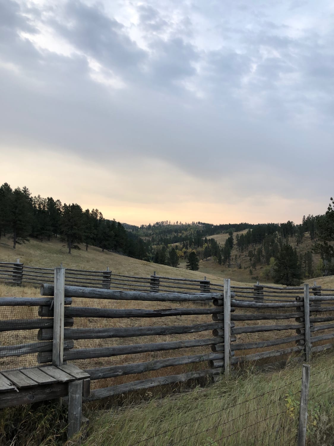
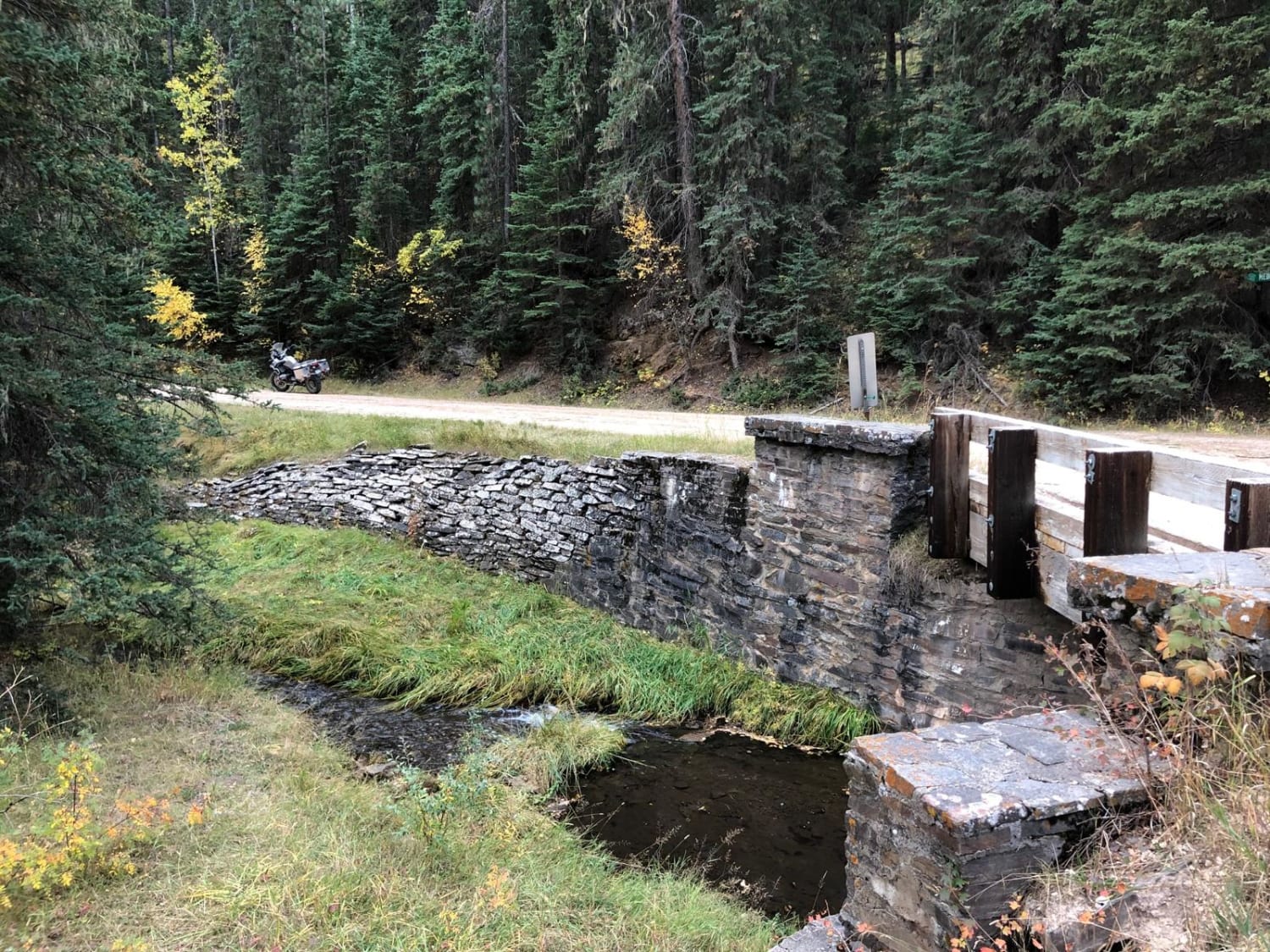
This is a road that starts out two-vehicles wide and narrows as it goes. Along the way there is a old corral and a one-lane bridge. Once you reach the intersection with FS301, it widens back out, then intersects with Gillette Prairie Road.
Photos of Medicine Mountain Road
Difficulty
A wide gravel road.
Status Reports
Medicine Mountain Road can be accessed by the following ride types:
- High-Clearance 4x4
- SUV
- SxS (60")
- ATV (50")
- Dirt Bike
Medicine Mountain Road Map
Popular Trails

Raspberry 8501
Total Miles
2.9
Tech Rating
Moderate
Best Time
Su / Fa / Sp

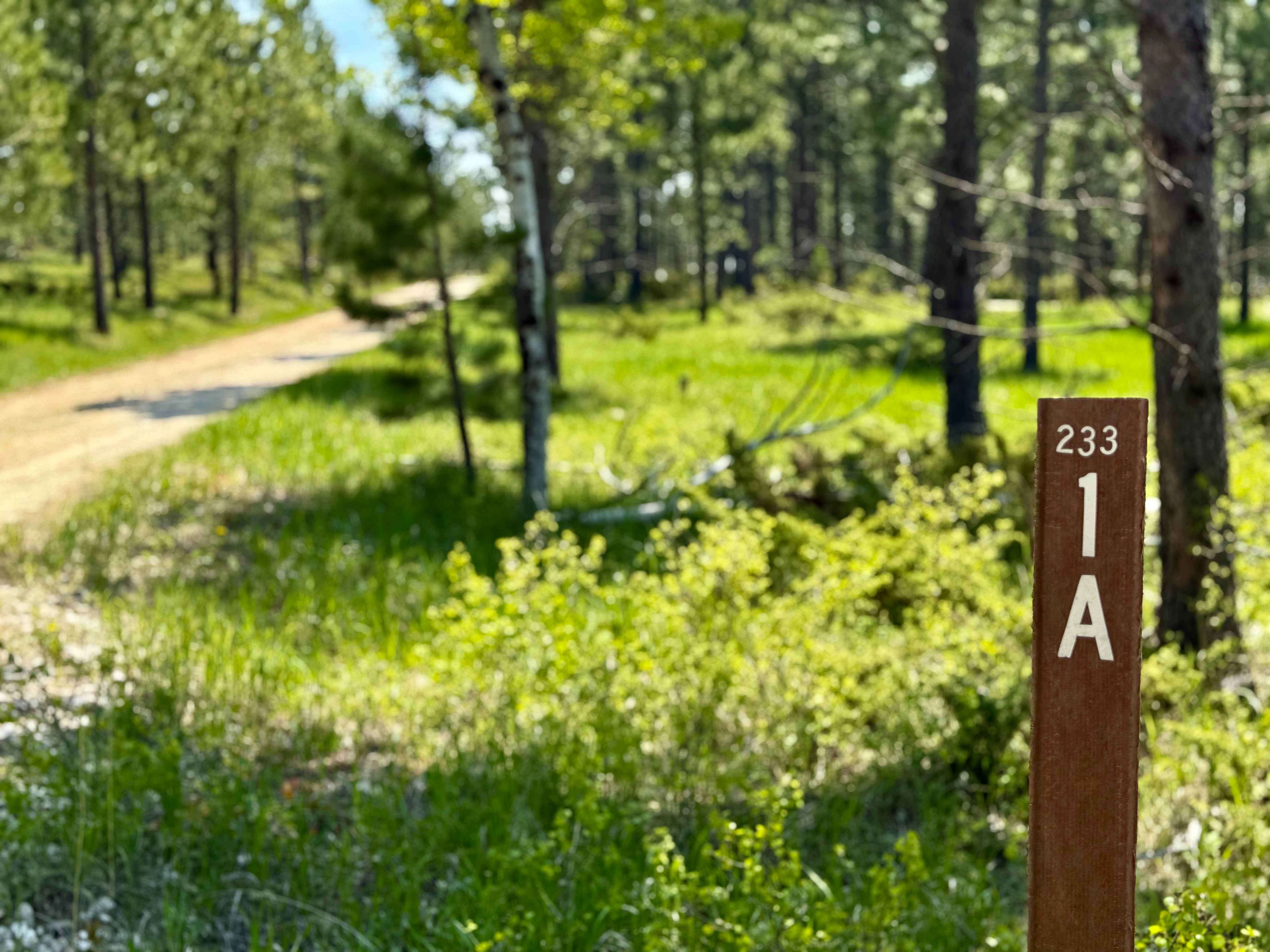
Sholt Draw FS 233.1A
Total Miles
2.8
Tech Rating
Easy
Best Time
Su / Fa
Merritt Peak North Loop Return
Total Miles
0.9
Tech Rating
Easy
Best Time
Sp / Su / Fa
The onX Offroad Difference
onX Offroad combines trail photos, descriptions, difficulty ratings, width restrictions, seasonality, and more in a user-friendly interface. Available on all devices, with offline access and full compatibility with CarPlay and Android Auto. Discover what you’re missing today!