Castle Rock & Nipple Butte Circular
Total Miles
4.4
Technical Rating
Best Time
Fall
Trail Type
Full-Width Road
Accessible By
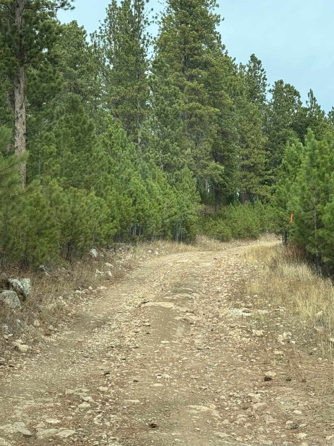
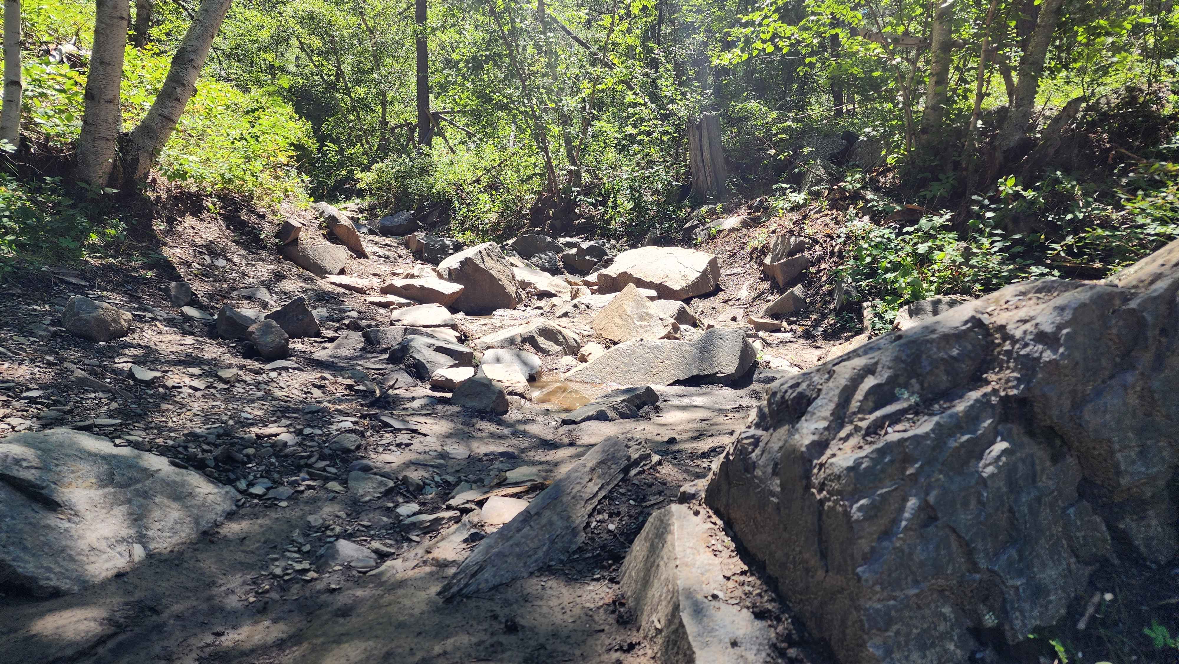
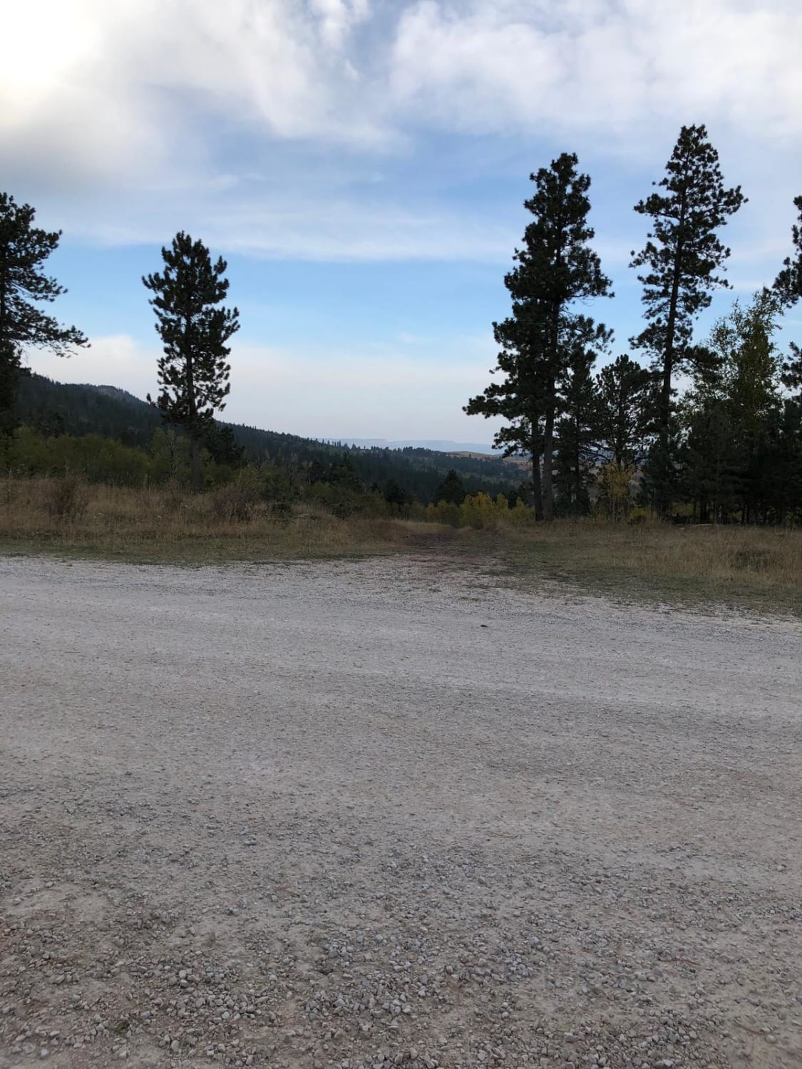
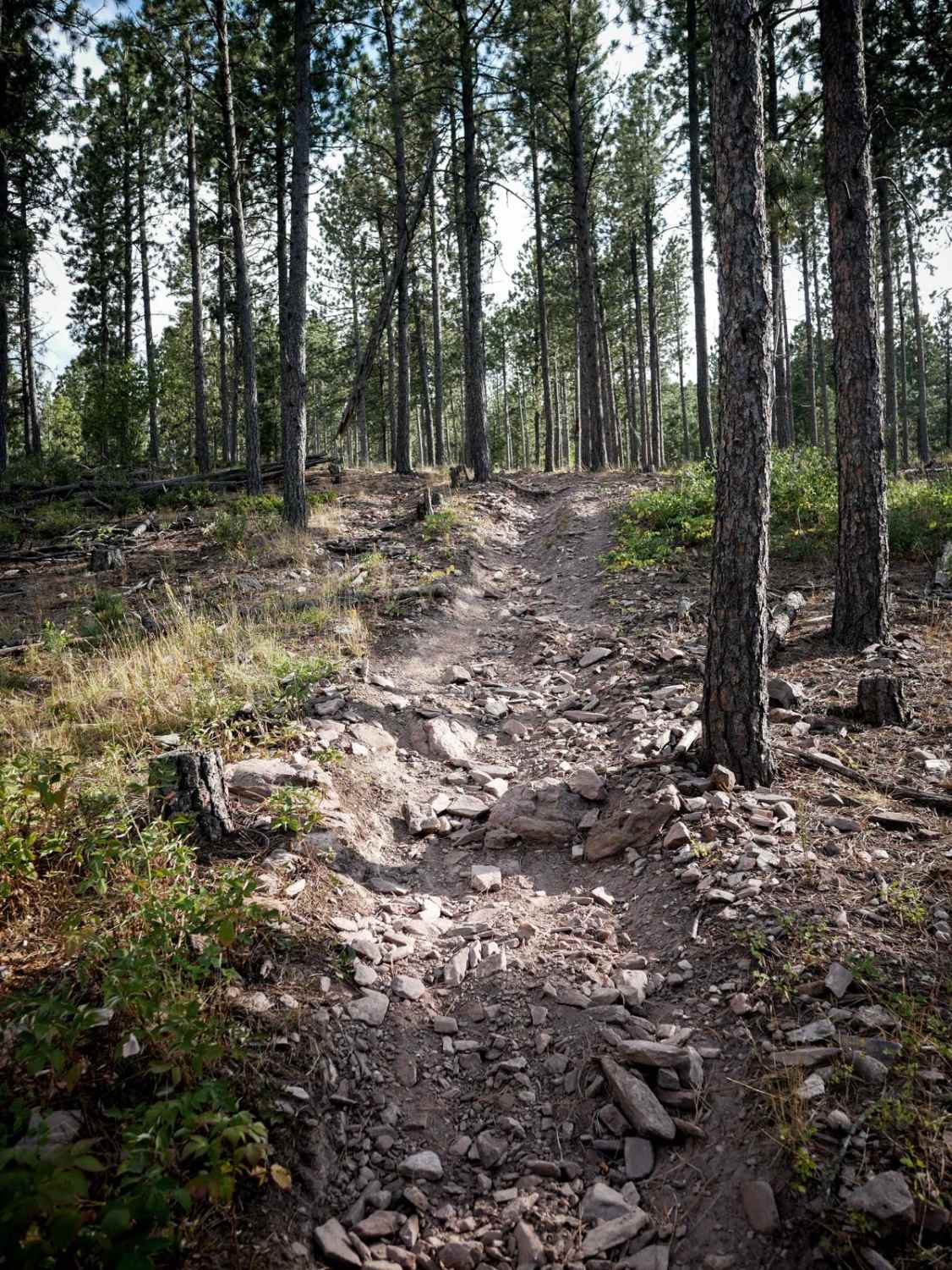
Trail Overview
This is a single-track route that orbits the Castle Rock & Nipple Butte formation. This is FS189.1B & 189.1C. There are some fire-damaged trees that are cut but still close to the trail which may make this route difficult for full-size trucks or SUV's. The route is fairly flat and easy when it's dry.
Photos of Castle Rock & Nipple Butte Circular

Difficulty
The west side (FSR 189.1B) is just two-track and very easy with no issues. On the east side (FRS 189.1C) can be tight for full-size vehicles due because of the downed trees from previous fires. Trees have been cut but left close to the trail. Also, there are some trees that require some zig-zags to get through without going off-trail.
Status Reports
Castle Rock & Nipple Butte Circular can be accessed by the following ride types:
- High-Clearance 4x4
- SUV
- SxS (60")
- ATV (50")
- Dirt Bike
Castle Rock & Nipple Butte Circular Map
Popular Trails
Grasslands to Badlands
The onX Offroad Difference
onX Offroad combines trail photos, descriptions, difficulty ratings, width restrictions, seasonality, and more in a user-friendly interface. Available on all devices, with offline access and full compatibility with CarPlay and Android Auto. Discover what you’re missing today!