Off-Road Trails in South Dakota
Discover off-road trails in South Dakota

Learn more about Alkali Spring
Alkali Spring
Total Miles
3.8
Tech Rating
Easy
Best Time
Spring, Summer, Fall
Learn more about Antelope Ridge Road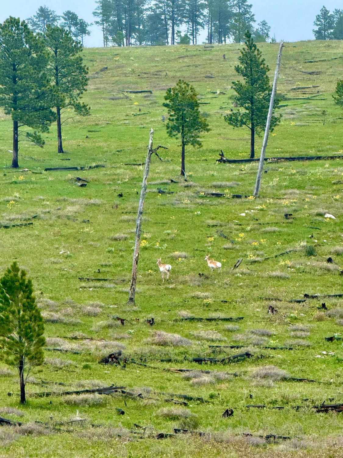
Antelope Ridge Road
Total Miles
4.5
Tech Rating
Easy
Best Time
Summer, Fall, Spring
Learn more about Bald Hills
Bald Hills
Total Miles
5.9
Tech Rating
Easy
Best Time
Spring, Summer, Fall, Winter
Learn more about Barrel Springs Br 2B
Barrel Springs Br 2B
Total Miles
1.7
Tech Rating
Easy
Best Time
Spring, Summer, Fall
Learn more about Battle Axe Branch - FS 386.1B
Battle Axe Branch - FS 386.1B
Total Miles
3.5
Tech Rating
Easy
Best Time
Spring, Summer, Fall
Learn more about Bear Creek Spur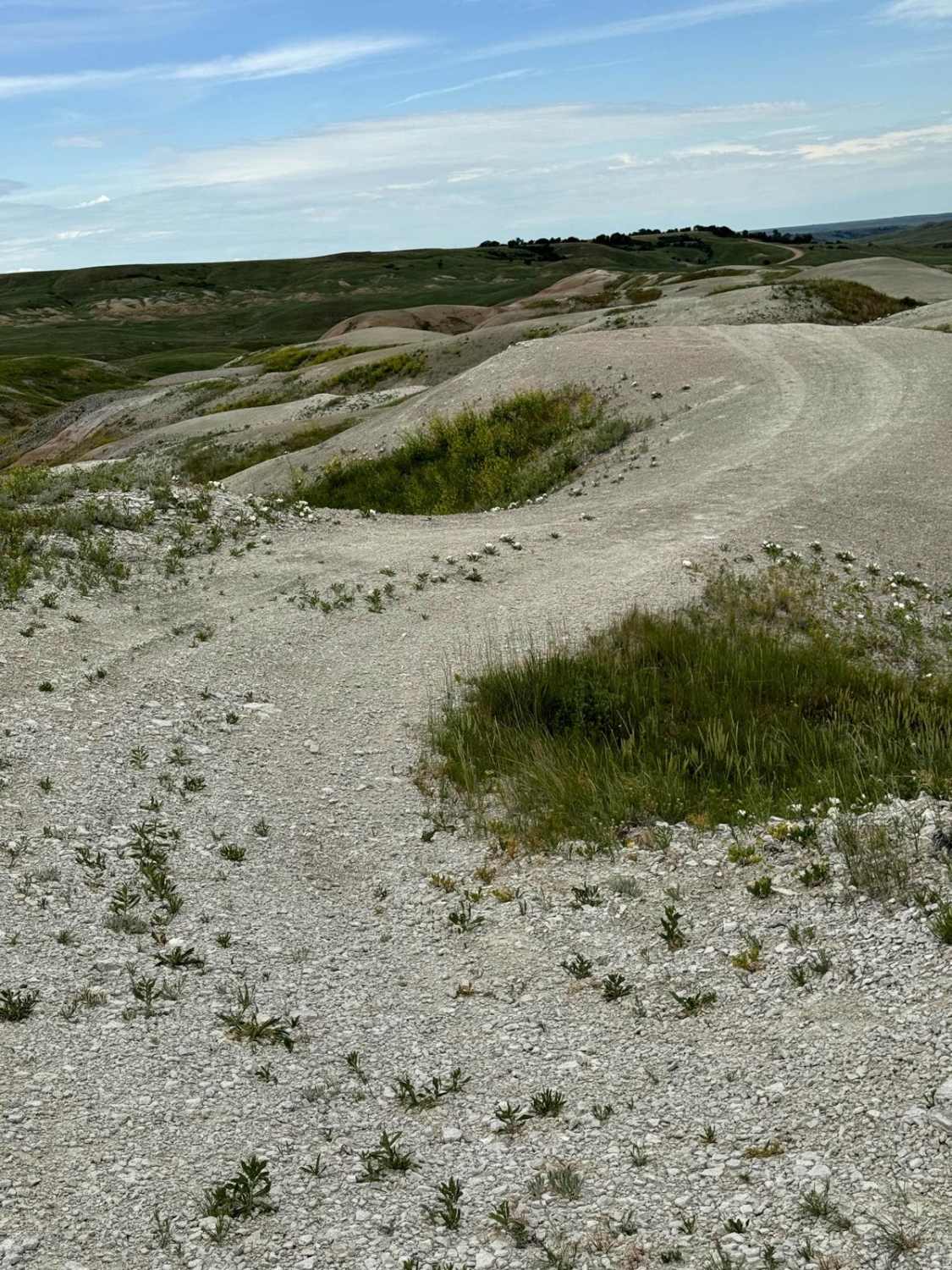
Bear Creek Spur
Total Miles
1.4
Tech Rating
Easy
Best Time
Spring, Summer, Fall
Learn more about Bear Mountain Lookout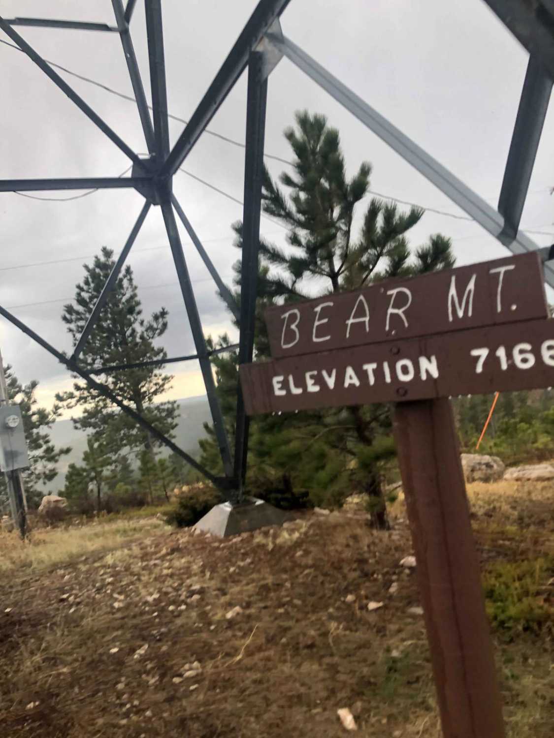
Bear Mountain Lookout
Total Miles
3.4
Tech Rating
Easy
Best Time
Spring
Learn more about Bear Mountain Lookout to Pactola Reservoir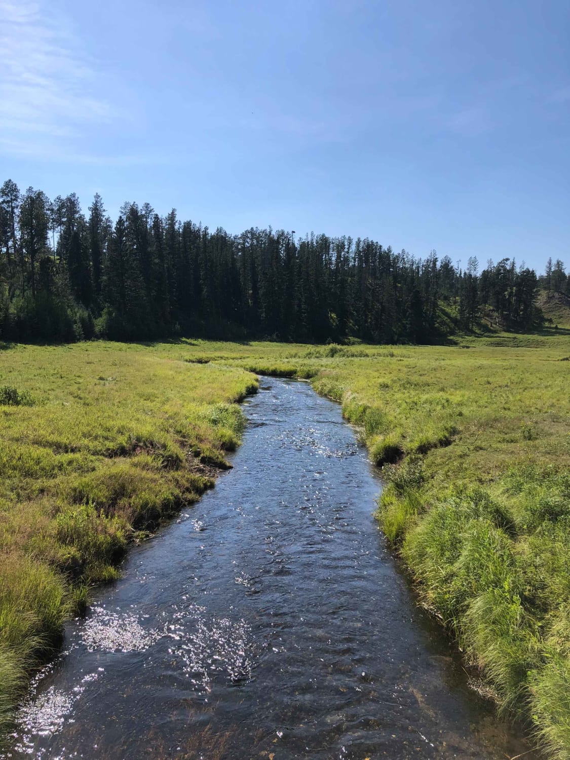
Bear Mountain Lookout to Pactola Reservoir
Total Miles
62.9
Tech Rating
Easy
Best Time
Summer, Fall, Spring
Learn more about Beaver Creek Road(FS 111)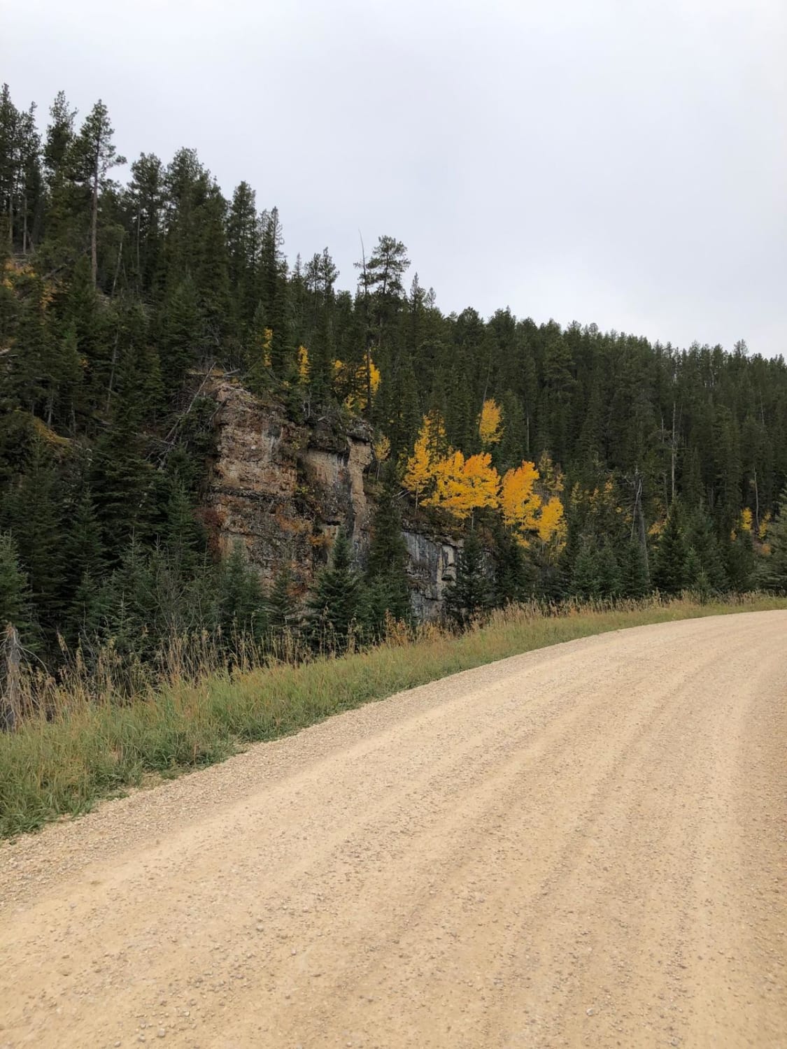
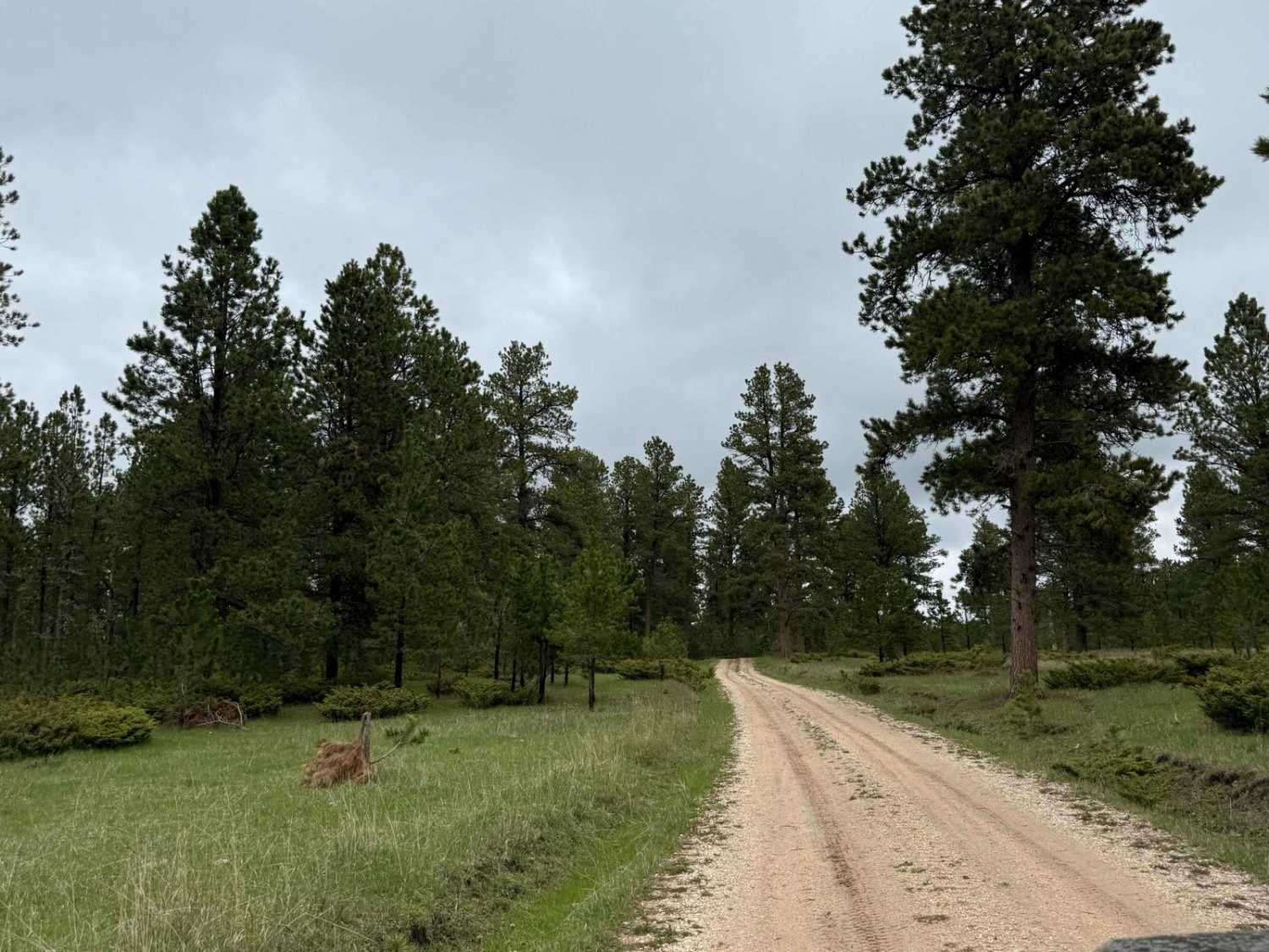
Beaver Creek Road(FS 111)
Total Miles
5.6
Tech Rating
Easy
Best Time
Spring, Summer, Fall
Learn more about Beaver Draw - FS 233.2D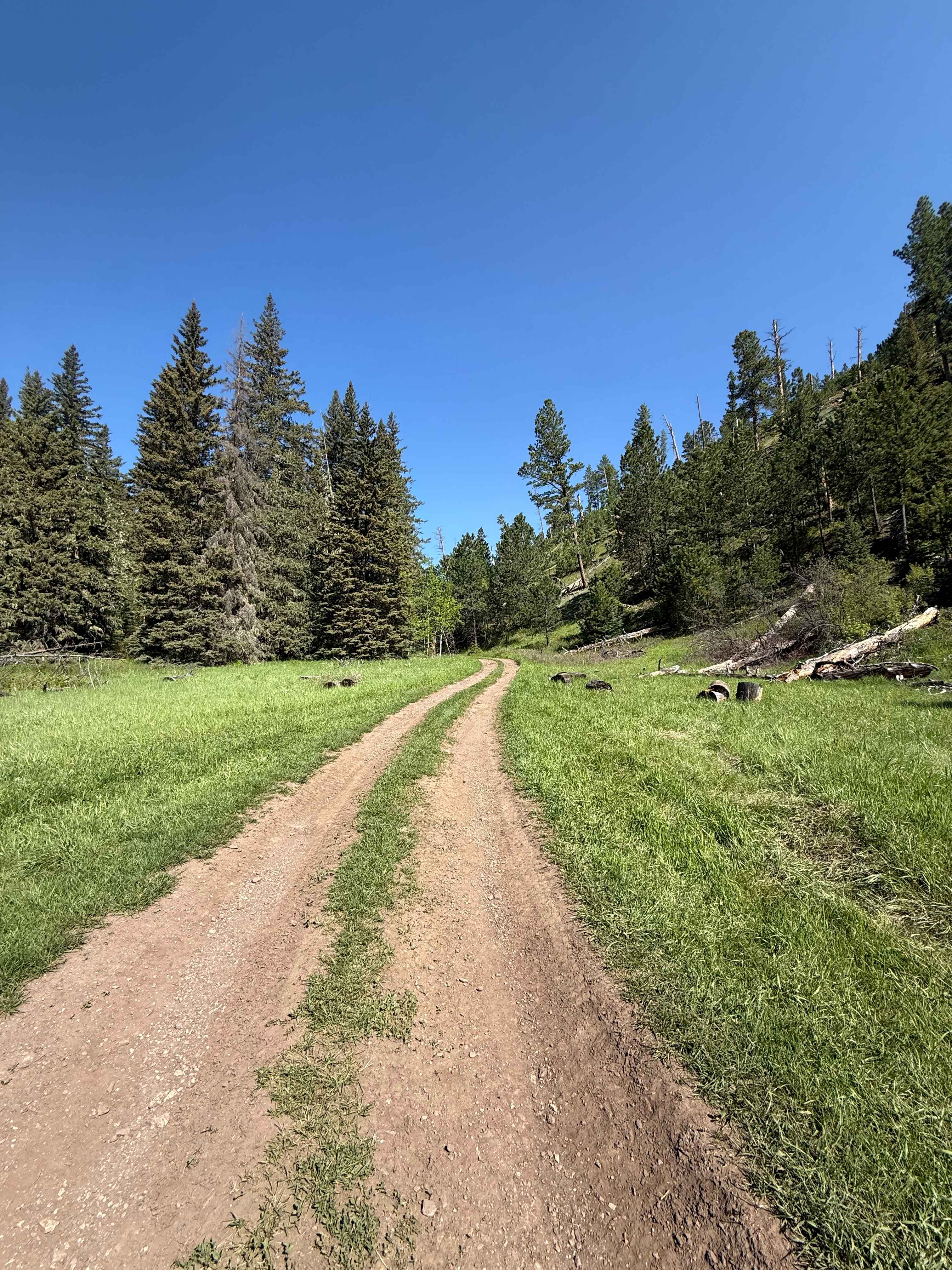
Beaver Draw - FS 233.2D
Total Miles
2.9
Tech Rating
Moderate
Best Time
Summer, Fall
Learn more about Below Pactola Dam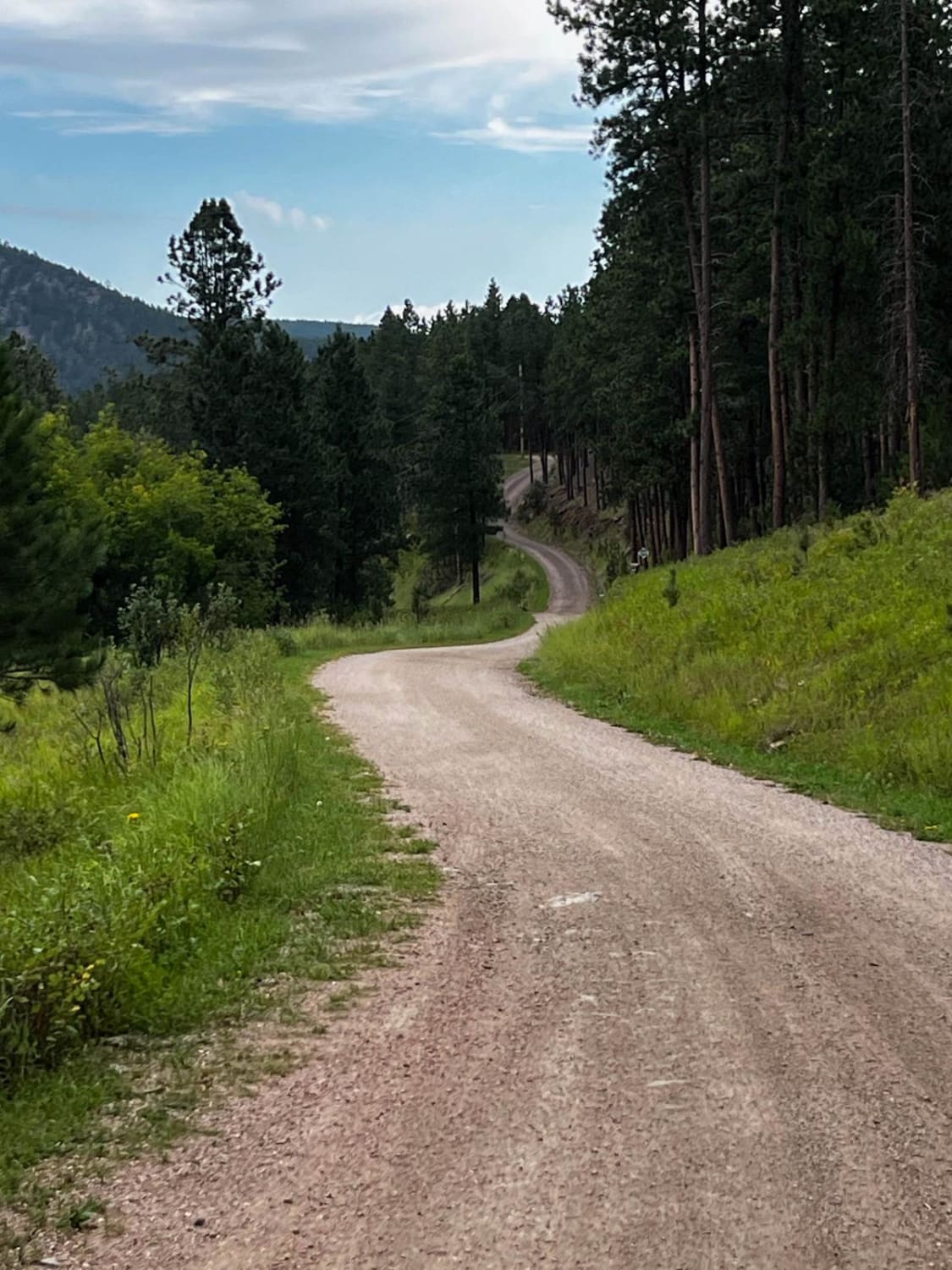
Below Pactola Dam
Total Miles
2.9
Tech Rating
Easy
Best Time
Spring, Fall, Winter, Summer
Learn more about Benchmark 8575 
Benchmark 8575
Total Miles
4.2
Tech Rating
Moderate
Best Time
Summer, Fall, Spring
Learn more about Benchmark Trail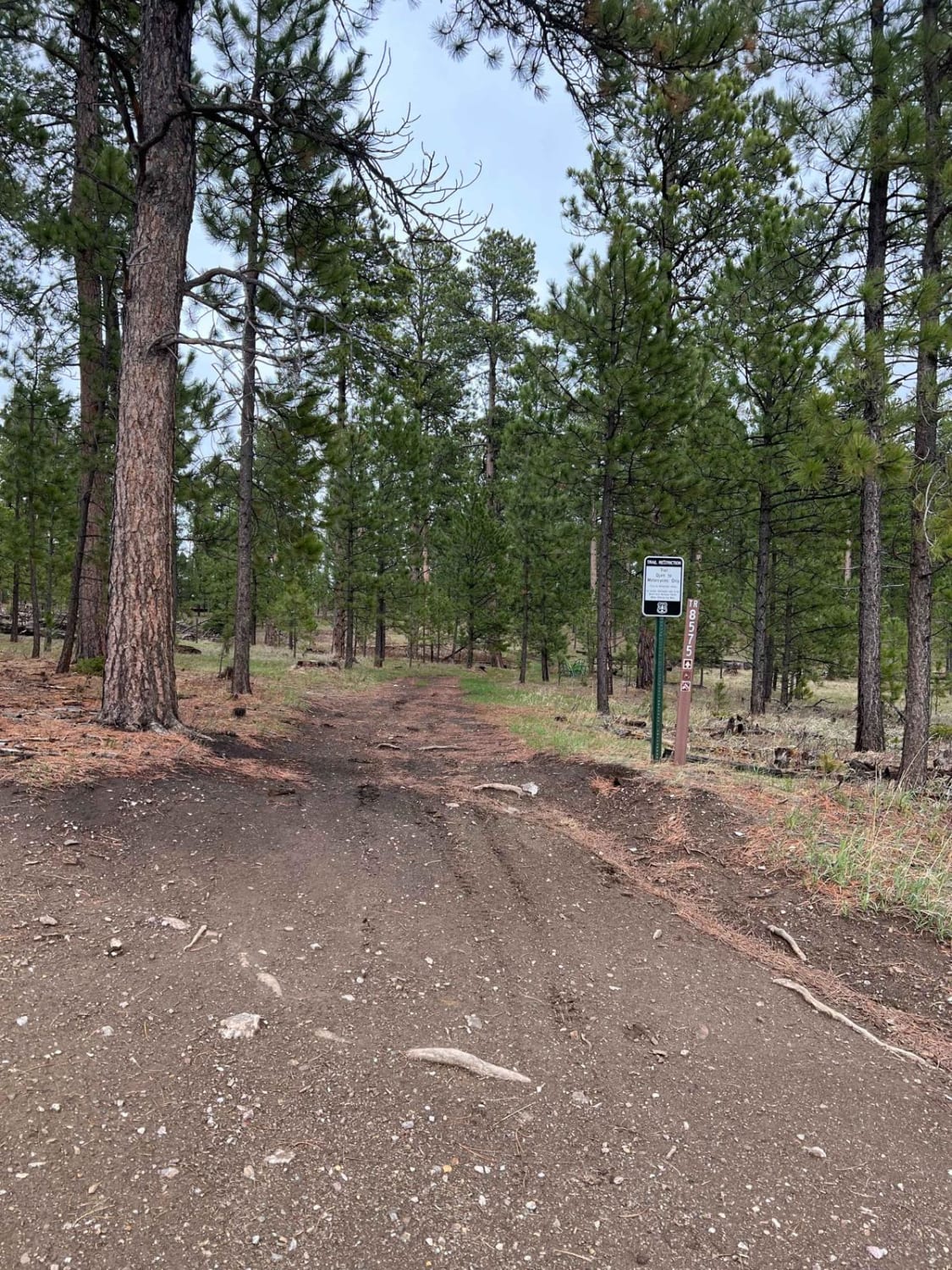
Benchmark Trail
Total Miles
2.1
Tech Rating
Easy
Best Time
Spring, Summer, Fall
ATV trails in South Dakota
UTV/side-by-side trails in South Dakota
Learn more about Bogus Jim - 448.1A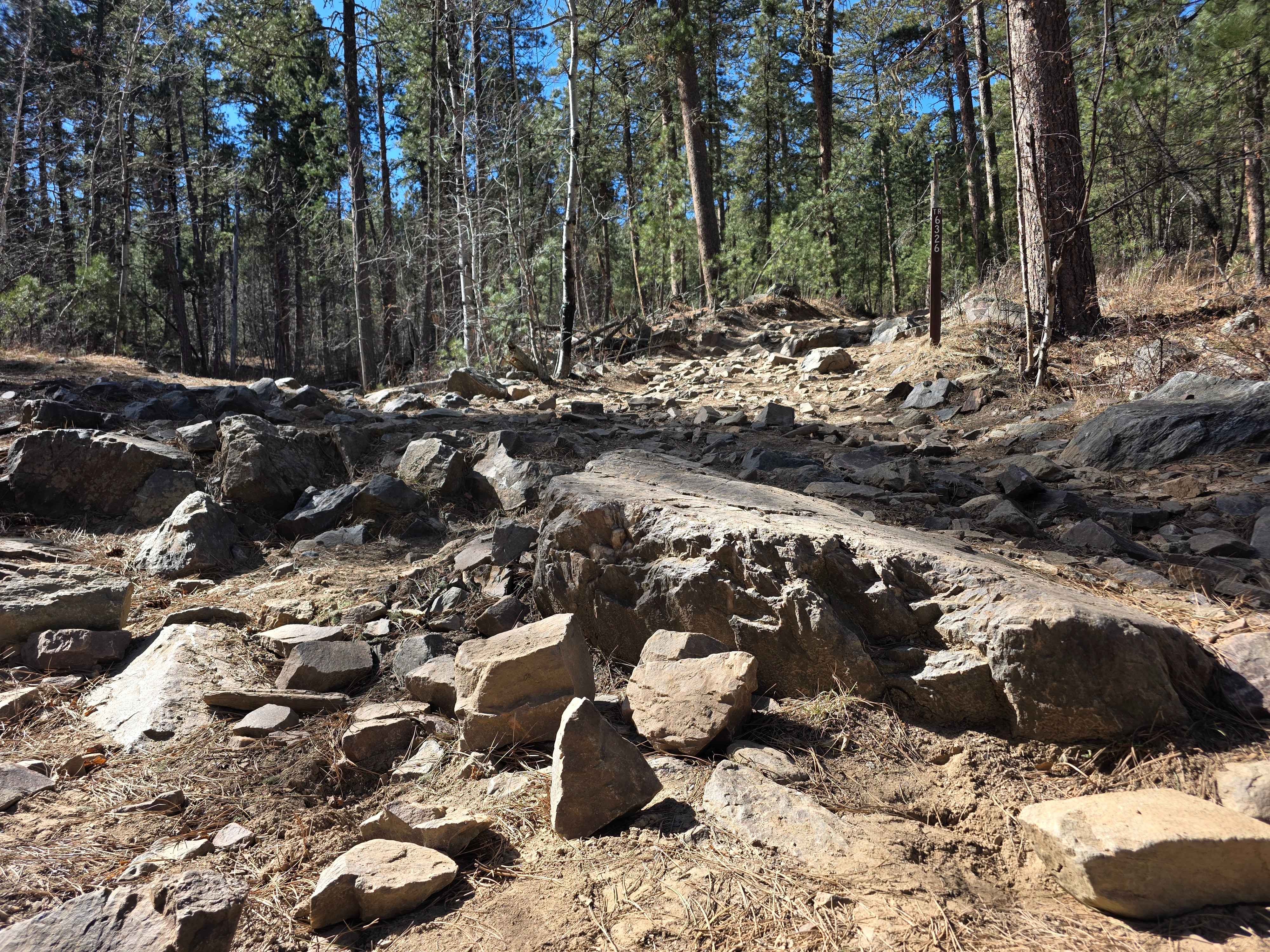
Bogus Jim - 448.1A
Total Miles
2.4
Tech Rating
Moderate
Best Time
Summer
Learn more about Bogus Jim (FS 201) and Duran (FS 679.1)
Bogus Jim (FS 201) and Duran (FS 679.1)
Total Miles
4.7
Tech Rating
Easy
Best Time
Spring, Summer, Fall
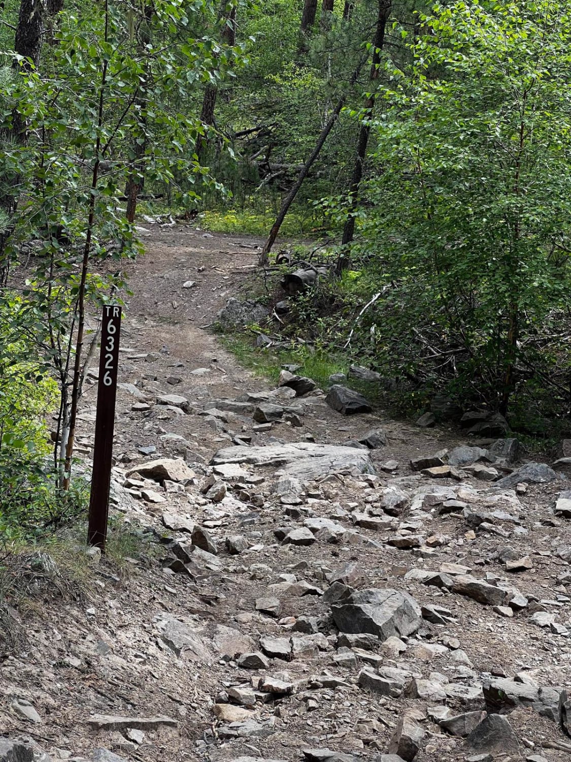
Learn more about Bogus Mini Crawl 6311
Bogus Mini Crawl 6311
Total Miles
0.1
Tech Rating
Easy
Best Time
Summer, Fall, Spring, Winter
The onX Offroad Difference
onX Offroad combines trail photos, descriptions, difficulty ratings, width restrictions, seasonality, and more in a user-friendly interface. Available on all devices, with offline access and full compatibility with CarPlay and Android Auto. Discover what you’re missing today!