Alkali Spring
Total Miles
3.8
Technical Rating
Best Time
Spring, Summer, Fall
Trail Type
Full-Width Road
Accessible By
Trail Overview
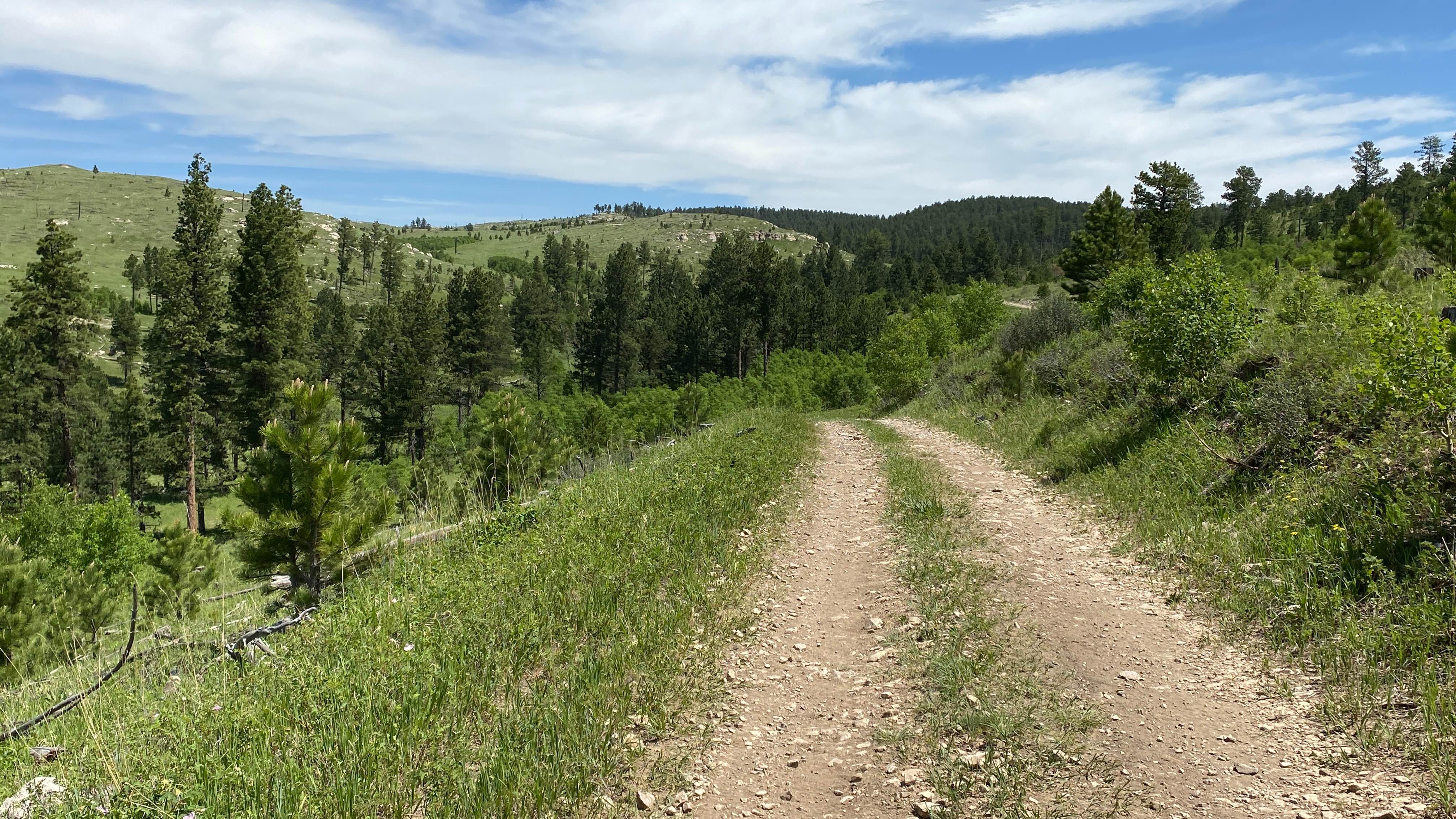
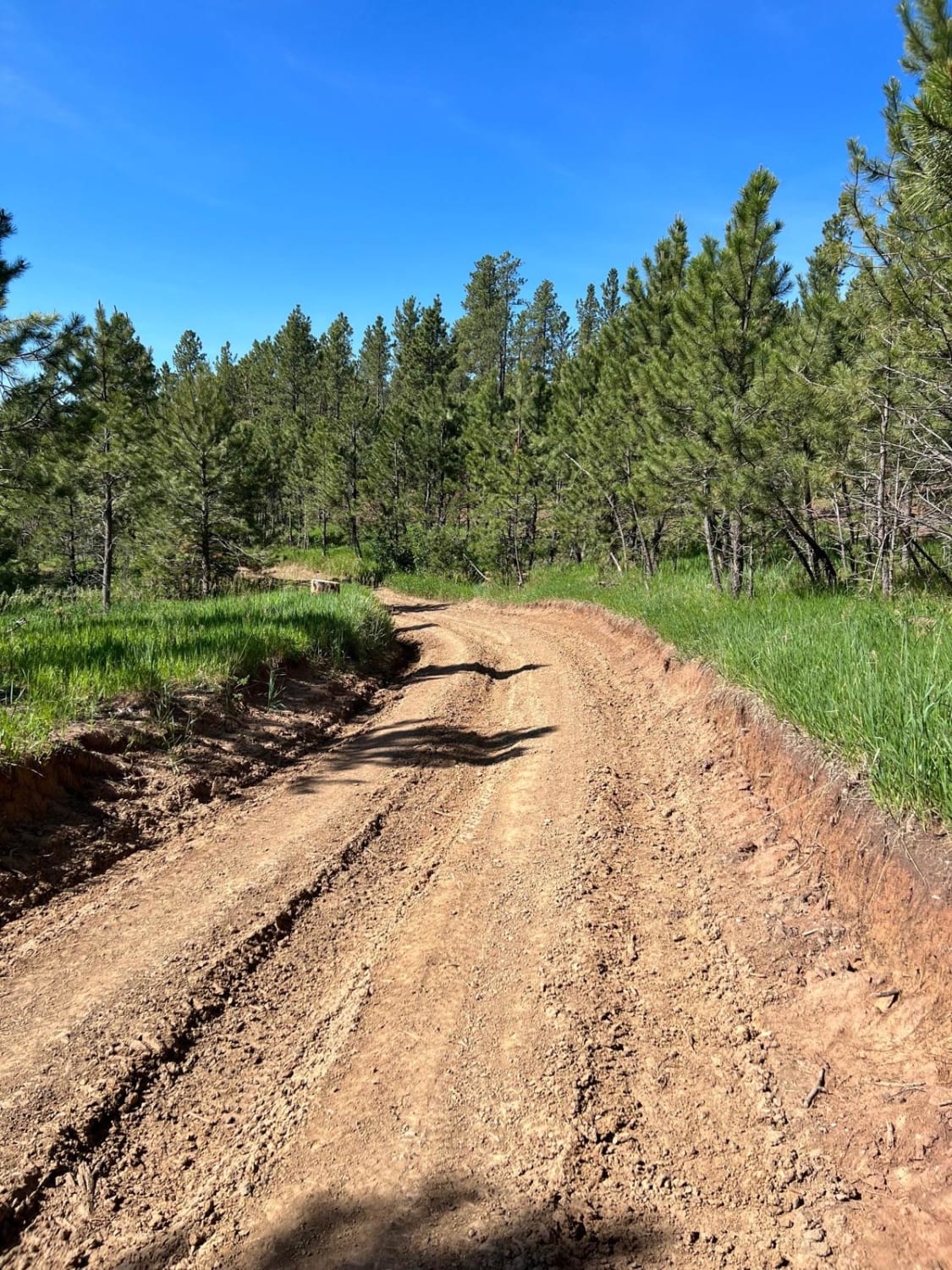
This road is a good way to run North or South from Ditch Creek to Custer Limestone. This road runs along some private land and there is a cattle gate at the South end about a 1/4 mile in from Custer Limestone and one cattle fence about 3/4 mile South of Ditch Creek. This road does lead down through a small canyon and then is along the top of two ridges on both the North and South ends. During the spring/summer there is cattle grazing all throughout this trail and cattle are often on the road itself.
Photos of Alkali Spring

Difficulty
The road is a single lane road that has a good gravel base. No significant washouts or mud holes on it. Much of the road has grass growing down the middle between the tire tracks and there is some wildflowers growing amongst the grass in the spring/early summer. Most any vehicle would be capable on this road.
Status Reports
Alkali Spring can be accessed by the following ride types:
- High-Clearance 4x4
- SUV
- SxS (60")
- ATV (50")
- Dirt Bike
Alkali Spring Map
Popular Trails
Hines Br1i / 336-11
Lead and Deadwood Overlook

Long Run - 641
The onX Offroad Difference
onX Offroad combines trail photos, descriptions, difficulty ratings, width restrictions, seasonality, and more in a user-friendly interface. Available on all devices, with offline access and full compatibility with CarPlay and Android Auto. Discover what you’re missing today!