Castle Creek
Total Miles
11.9
Technical Rating
Best Time
Spring, Summer, Fall
Trail Type
Full-Width Road
Accessible By
Trail Overview
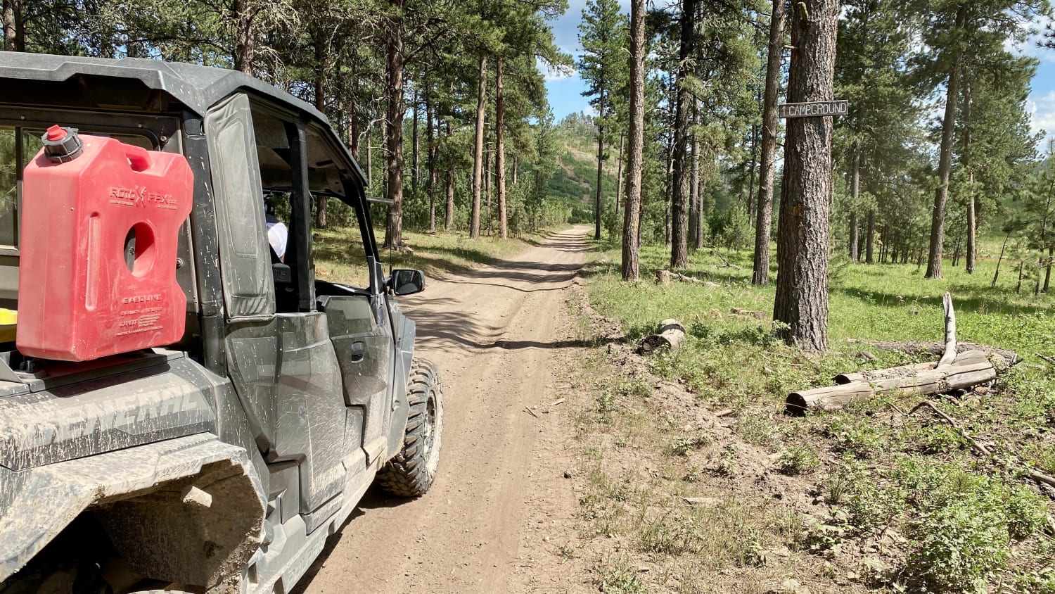
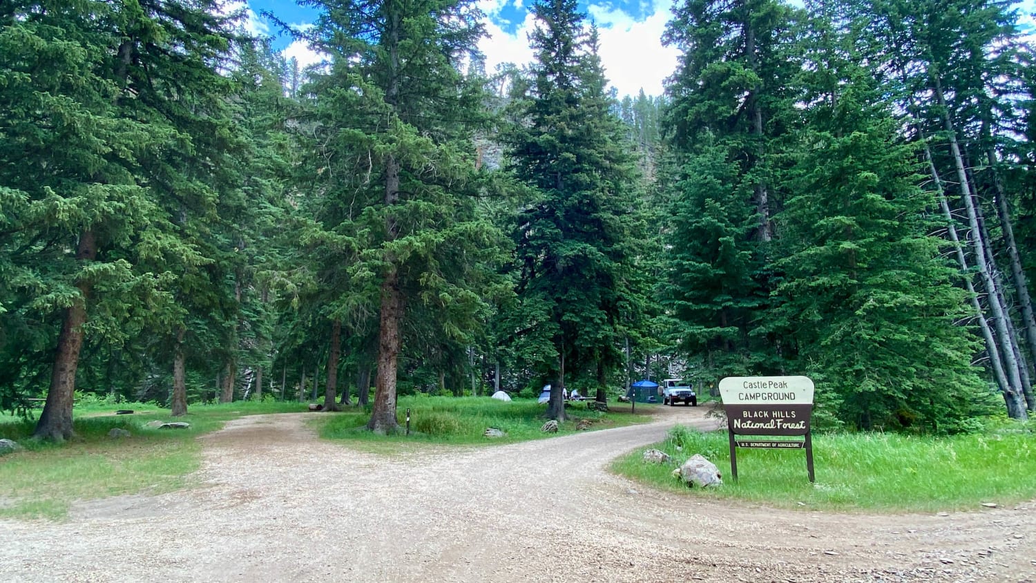
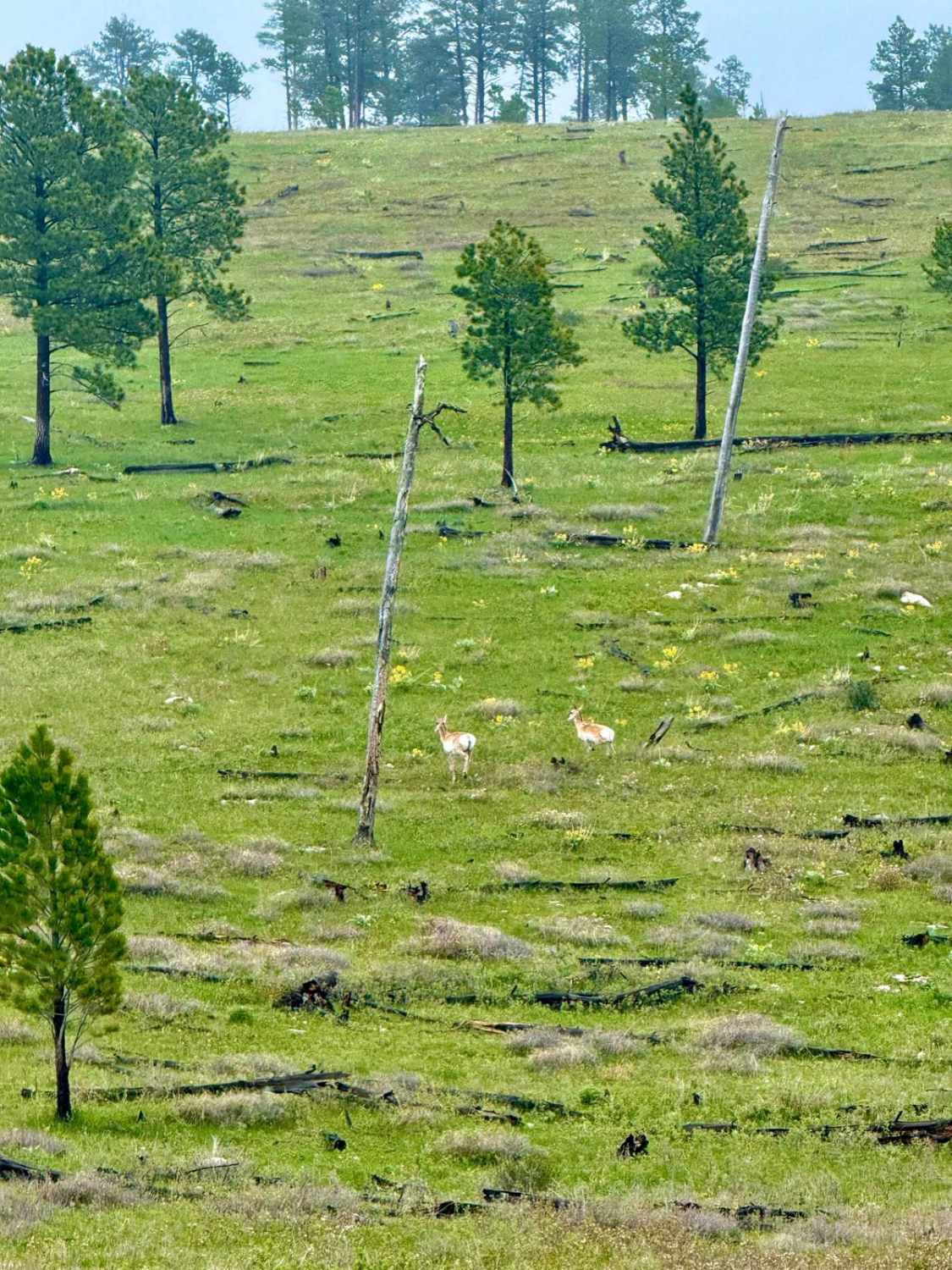
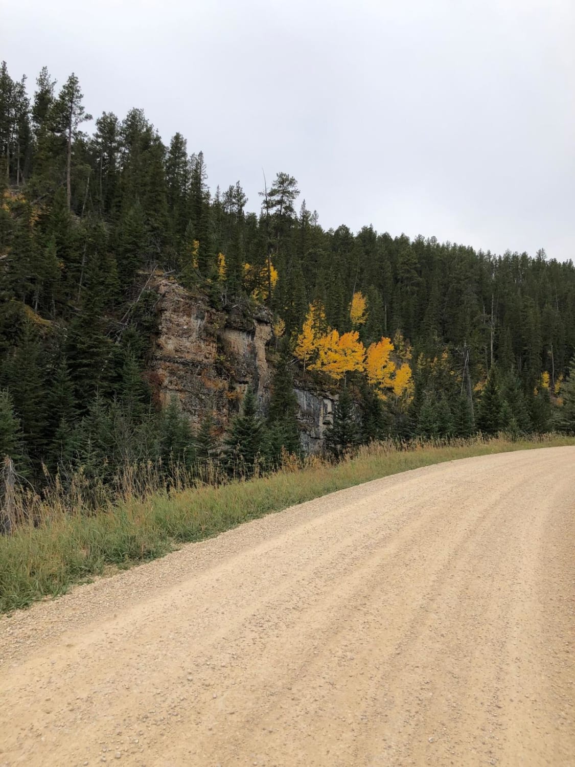
Castle Creek Forest Service road is very scenic and travels along Castle Creek which runs through a gulch in almost the middle of the Black Hills National Forest. There are several locations where you cross the creek on small bridges. This road is the only way to access Castle Peak Campground which is located about midway of the road; there are some other areas which are good boondocking sites. Due to this road running through a gulch for the majority of the time, there is no cellular service in the immediate area.
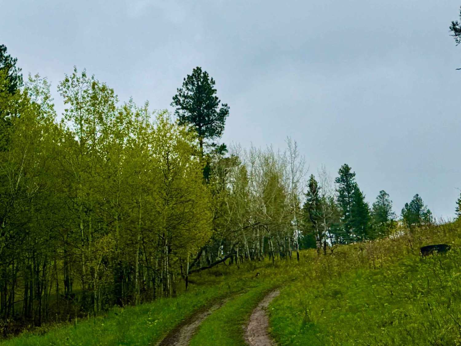
Photos of Castle Creek
Difficulty
The road on the north end starts out as a narrow single land road but then widens where Castle Creek Br 1c intersects. There are some ruts in the road and there are numerous holes in the road that are muddy after recent rain. Some larger rocks can may be found on or along the edge of the road as the road does run along a steep canyon wall for a short period.
Status Reports
Castle Creek can be accessed by the following ride types:
- High-Clearance 4x4
- SUV
- SxS (60")
- ATV (50")
- Dirt Bike
Castle Creek Map
Popular Trails
Antelope Ridge Road

Storm Mountain Road - Coon Hollow
Battle Axe Branch - FS 386.1B
Beaver Creek Road(FS 111)
The onX Offroad Difference
onX Offroad combines trail photos, descriptions, difficulty ratings, width restrictions, seasonality, and more in a user-friendly interface. Available on all devices, with offline access and full compatibility with CarPlay and Android Auto. Discover what you’re missing today!