FS 567.1
Total Miles
1.6
Technical Rating
Best Time
Summer
Trail Type
Full-Width Road
Accessible By
Trail Overview
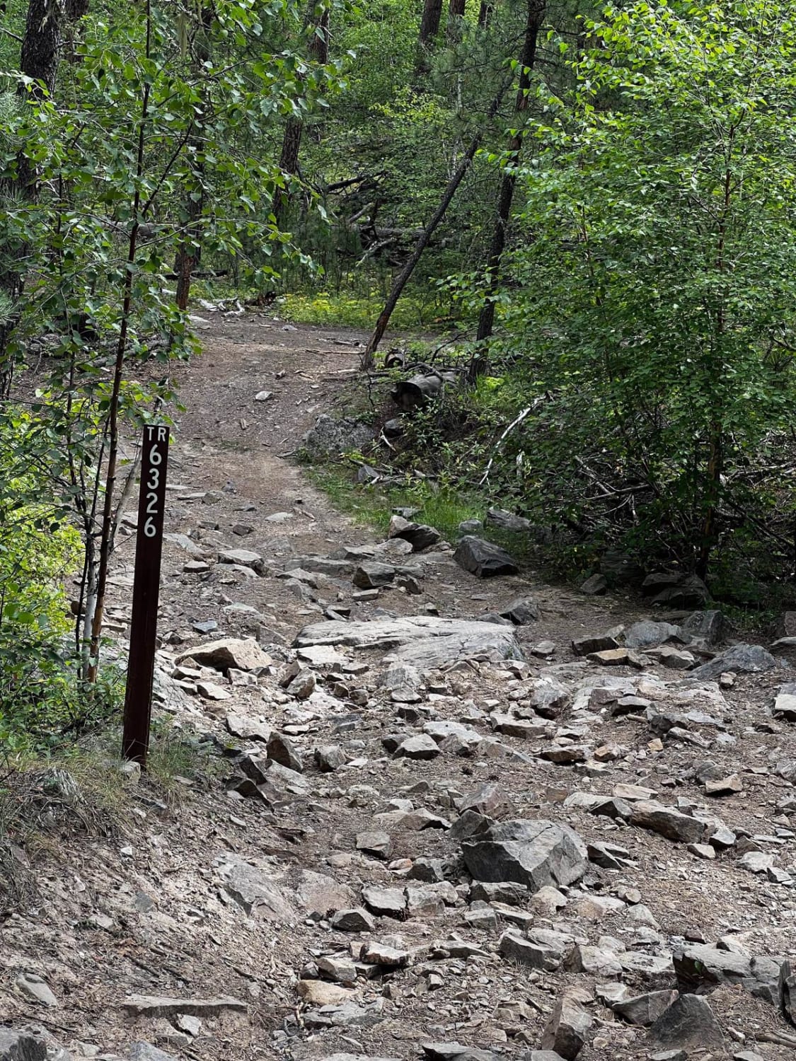
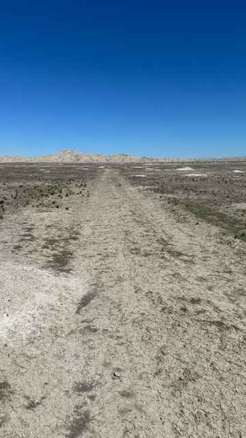
This trail is a 1.6-mile connecting route between Lost Gulch (FS 172.1) and the China Wall Trail. It consists of packed gravel, loose rocks, mild climbs and descents, as well as smaller ruts and mud puddles. It meets up with Lost Gulch at (44.36499, -103.61948) and connects to the China Wall Trail at (44.35786, -103.60409).
Photos of FS 567.1
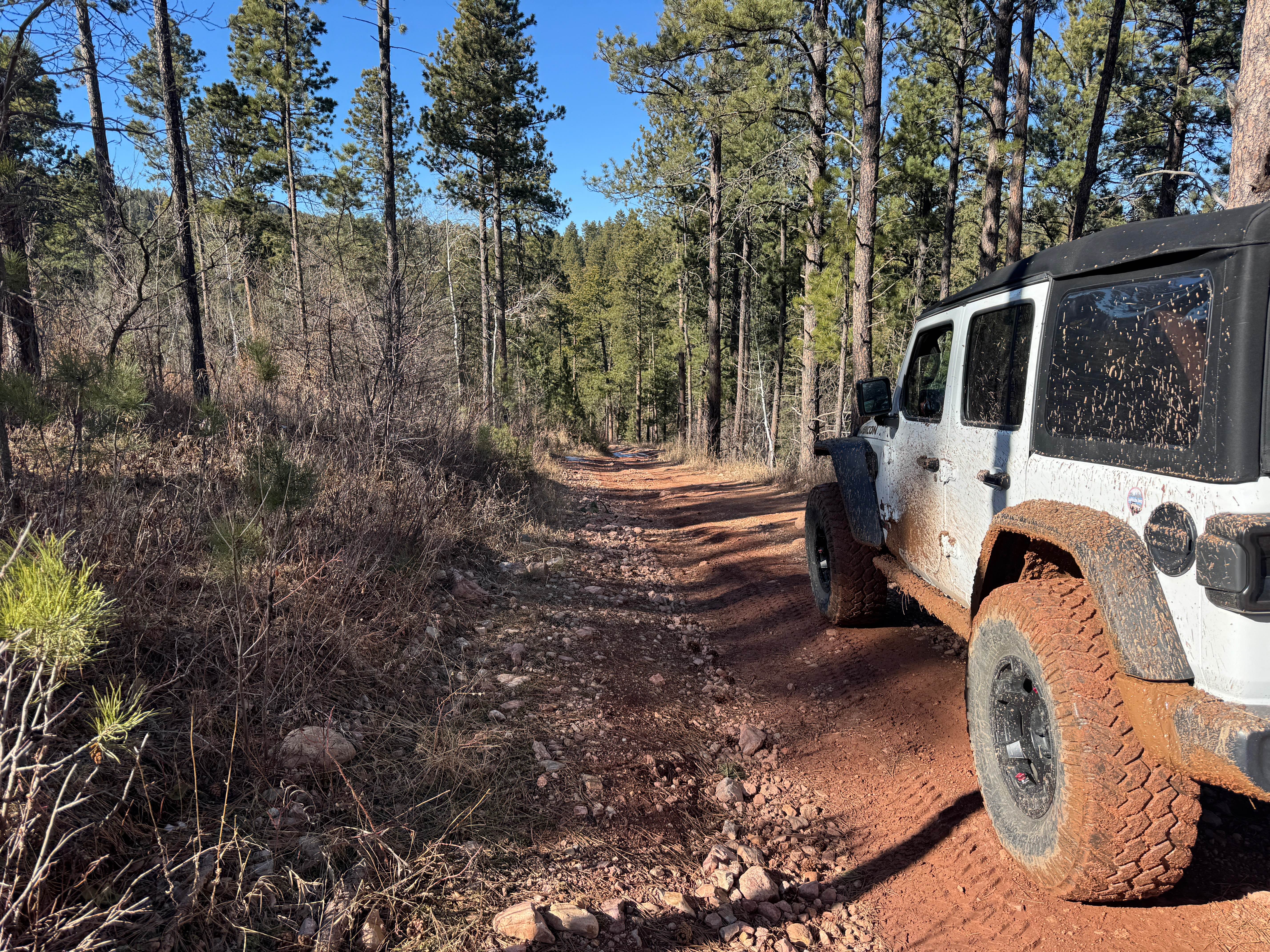
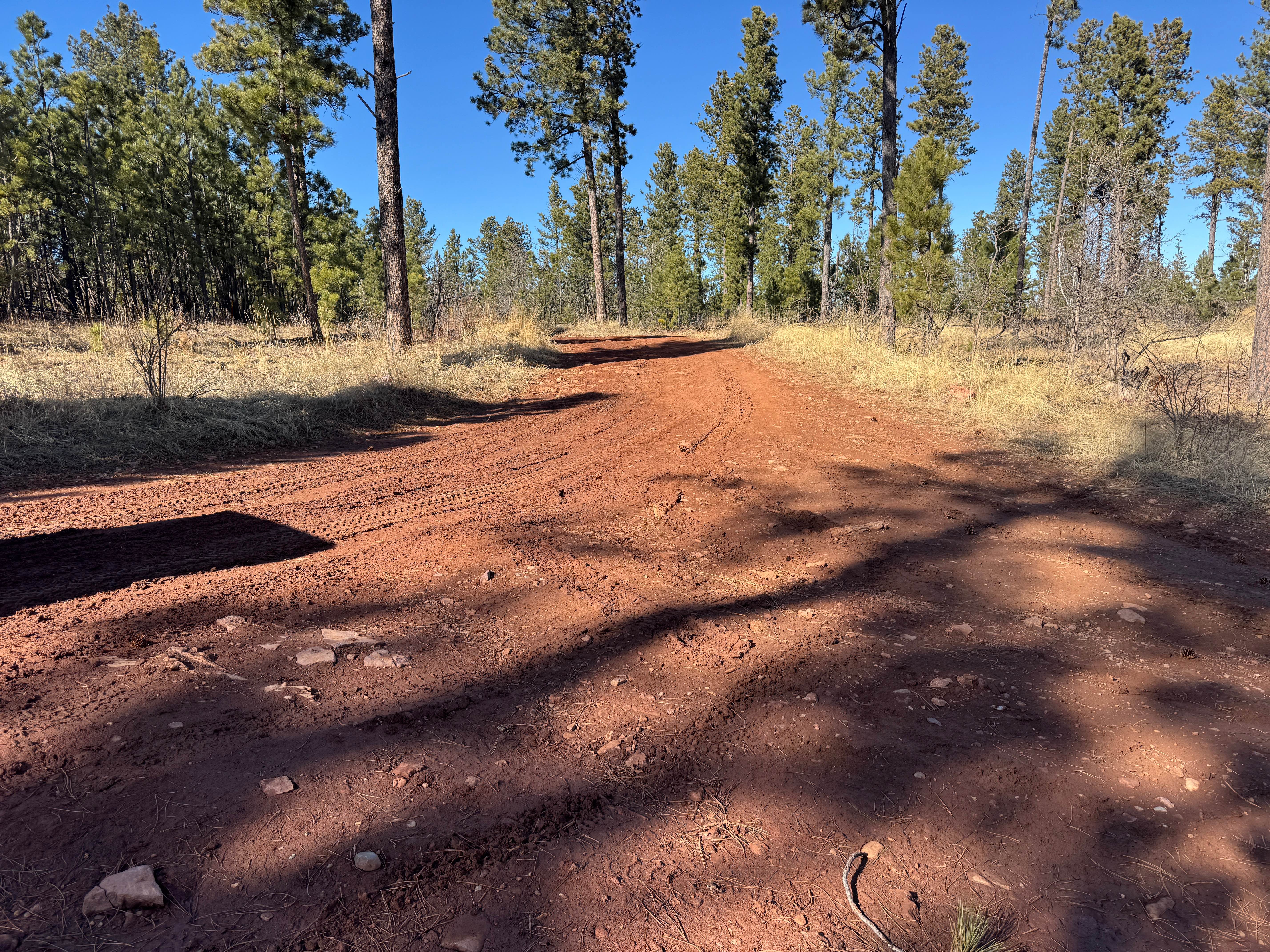
Difficulty
FS 567.1 is a minimally maintained Forest Service road. It is a gravel and dirt surface that can become more difficult in inclement weather. There are some small hills to climb with small rocks poking out of the road surface.
Status Reports
FS 567.1 can be accessed by the following ride types:
- High-Clearance 4x4
- SUV
- SxS (60")
- ATV (50")
- Dirt Bike
FS 567.1 Map
Popular Trails
Crystal Mount Single Track
Champaign Hill Road
Sage Creek Conata West
The onX Offroad Difference
onX Offroad combines trail photos, descriptions, difficulty ratings, width restrictions, seasonality, and more in a user-friendly interface. Available on all devices, with offline access and full compatibility with CarPlay and Android Auto. Discover what you’re missing today!