#312
Total Miles
10.1
Technical Rating
Best Time
Fall
Trail Type
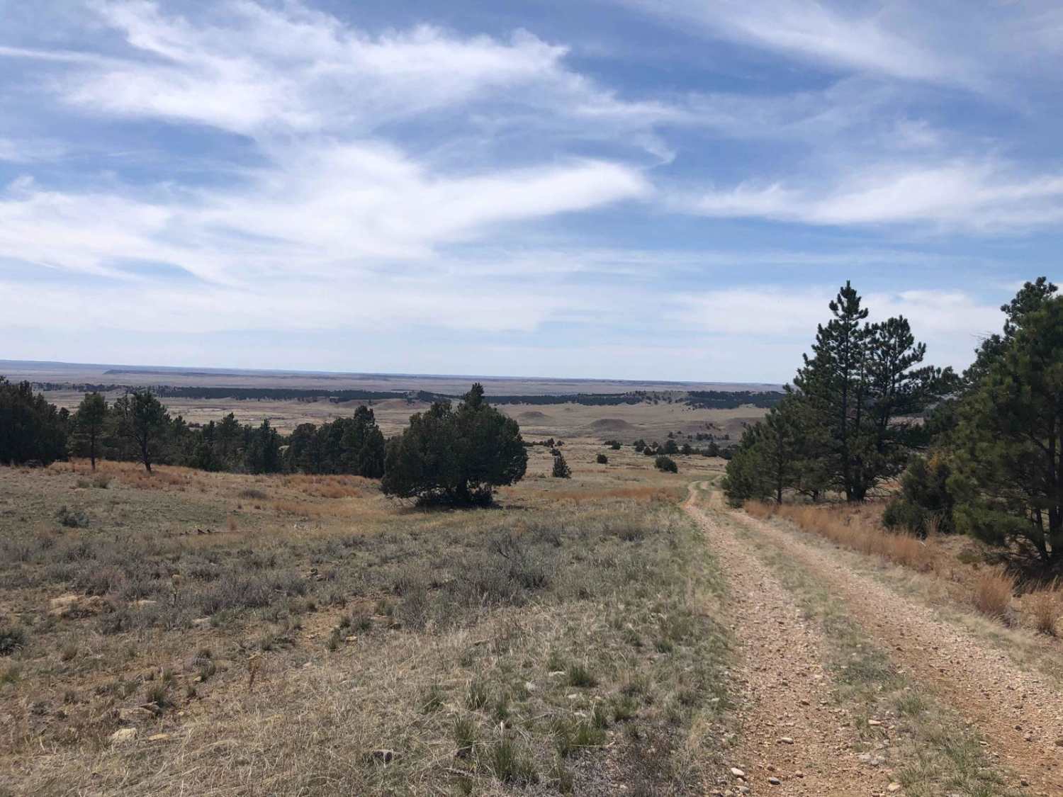
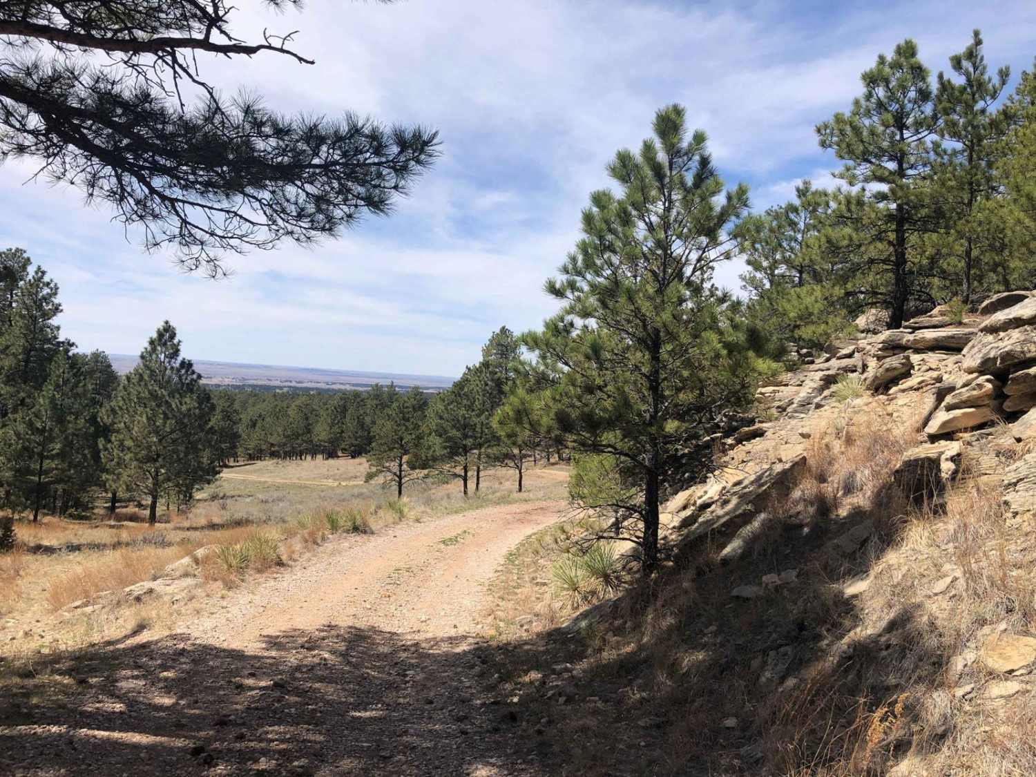
Full-Width Road
Accessible By
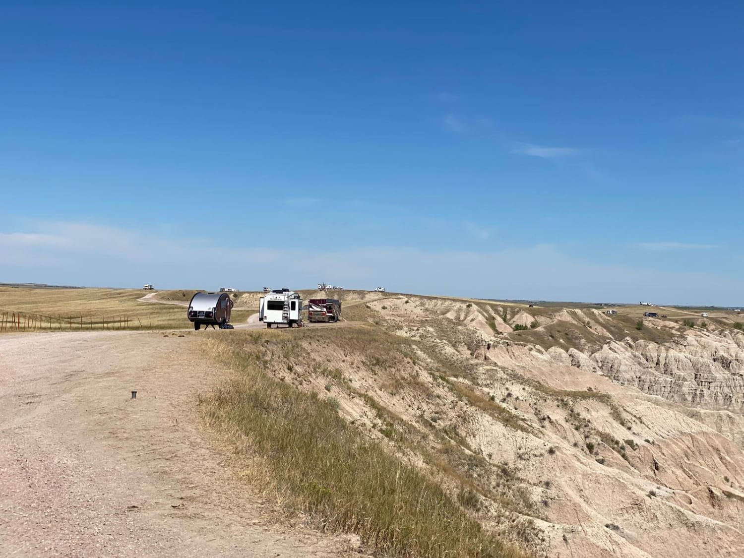
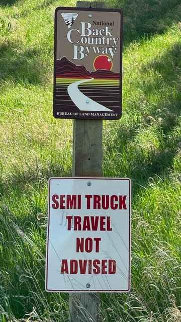
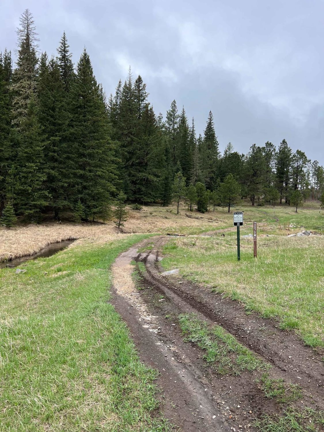
Trail Overview
You need the onX Offroad for this trail; the standard route is now obsolete. There is now a gate with a "No Trespassing" sign on what appears to be the original route. This is apparent if you are traveling south to north. It is harder to notice going the other way.
Photos of #312
Difficulty
Expect varied terrain.
Status Reports
#312 can be accessed by the following ride types:
- High-Clearance 4x4
- SUV
- SxS (60")
- ATV (50")
- Dirt Bike
#312 Map
Popular Trails
Fort Meade Backcountry Byway
South Boxelder Creek Overpass
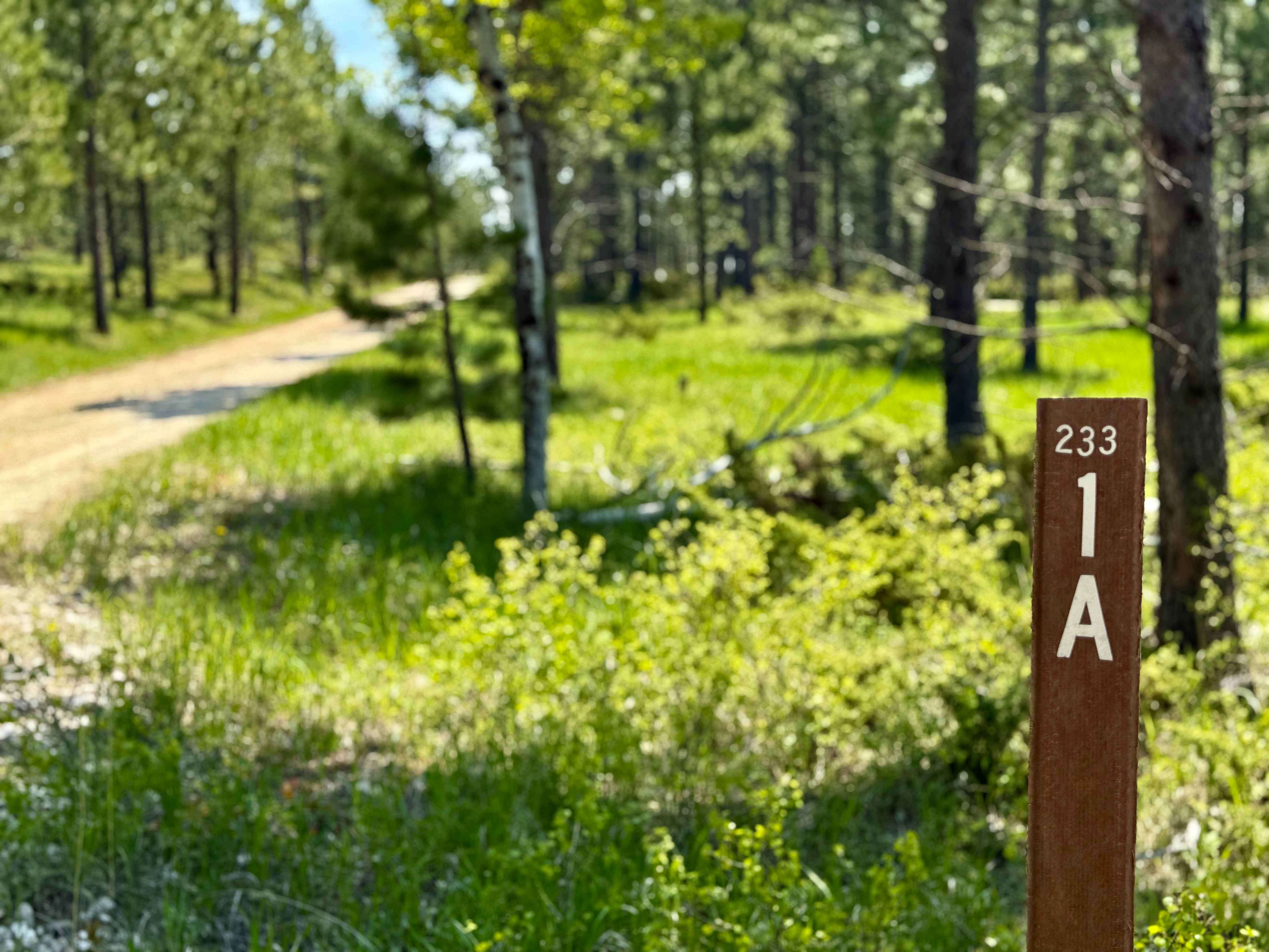
Sholt Draw FS 233.1A
The onX Offroad Difference
onX Offroad combines trail photos, descriptions, difficulty ratings, width restrictions, seasonality, and more in a user-friendly interface. Available on all devices, with offline access and full compatibility with CarPlay and Android Auto. Discover what you’re missing today!