Deerfield Road North
Total Miles
5.8
Technical Rating
Best Time
Spring, Summer, Fall, Winter
Trail Type
Full-Width Road
Accessible By
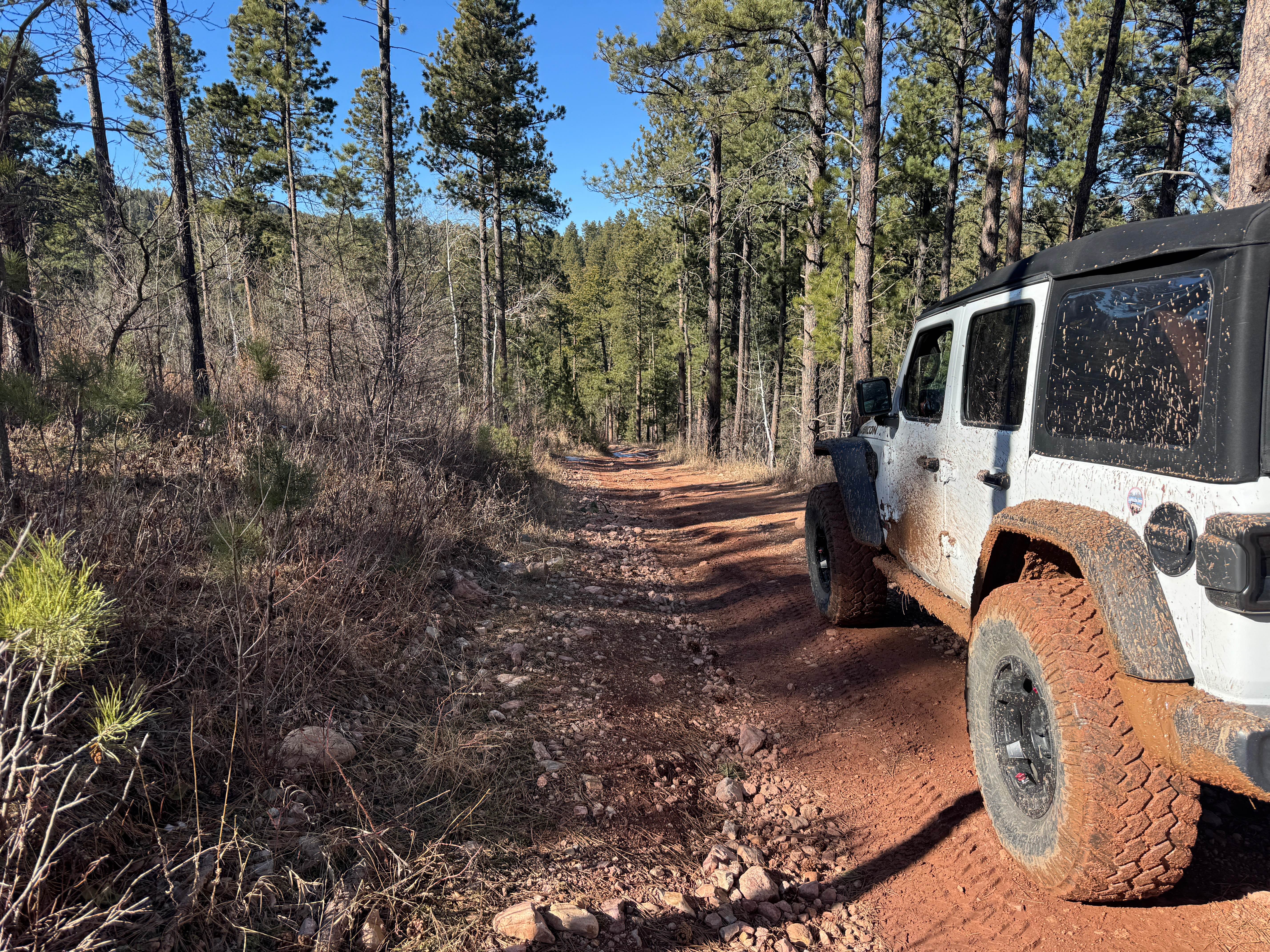
Trail Overview
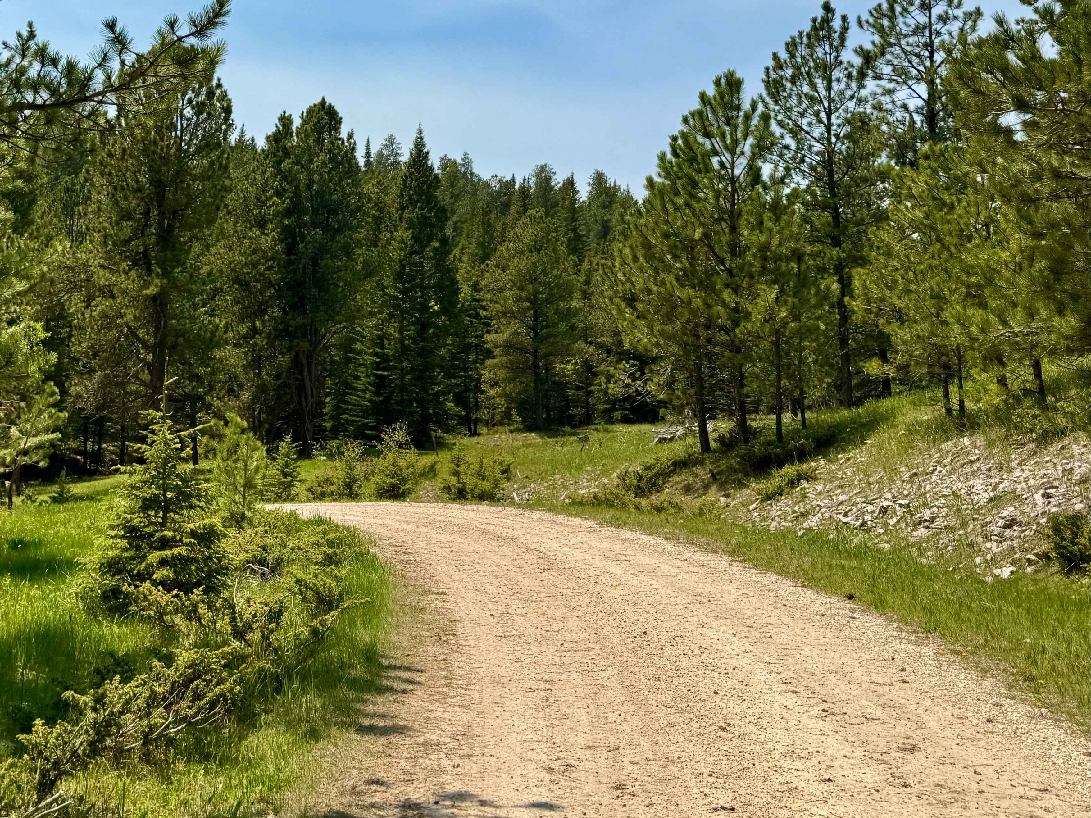
Deerfield Road is a well-maintained mainline route that cuts through the western Black Hills, connecting Hill City to the high country around Deerfield Lake. It's paved for most of the drive with smooth transitions onto gravel spurs, making it easy access for trailers, campers, and folks just looking to get deep without beating up their rig. Plenty of dispersed sites line the road and its many side spurs--especially near the lake and up toward Custer Peak--ranging from open meadow camps to thick pine draws. There are a handful of popular shooting pullouts along the way, especially closer to the National Forest boundary. Wildlife is common out here, with deer, elk, and turkeys regularly seen in the early hours. Not a technical trail, but a reliable route into some of the best high-country basecamps in the Hills. Pack in, pack out, leave no trace, and tread lightly.
Photos of Deerfield Road North


Difficulty
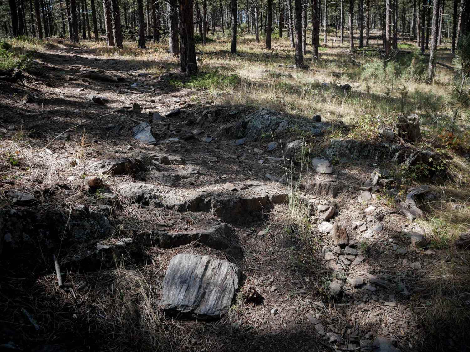
This is a two-lane, well-maintained gravel forest road. Be cautious in the winter, as it may be unplowed.
Status Reports
Deerfield Road North can be accessed by the following ride types:
- High-Clearance 4x4
- SUV
- SxS (60")
- ATV (50")
- Dirt Bike
Deerfield Road North Map
Popular Trails
FS 655 Trail Gulch
Trix - 6311
The onX Offroad Difference
onX Offroad combines trail photos, descriptions, difficulty ratings, width restrictions, seasonality, and more in a user-friendly interface. Available on all devices, with offline access and full compatibility with CarPlay and Android Auto. Discover what you’re missing today!