Cicero Peak Road
Total Miles
1.7
Technical Rating
Best Time
Spring, Summer, Fall
Trail Type
Full-Width Road
Accessible By
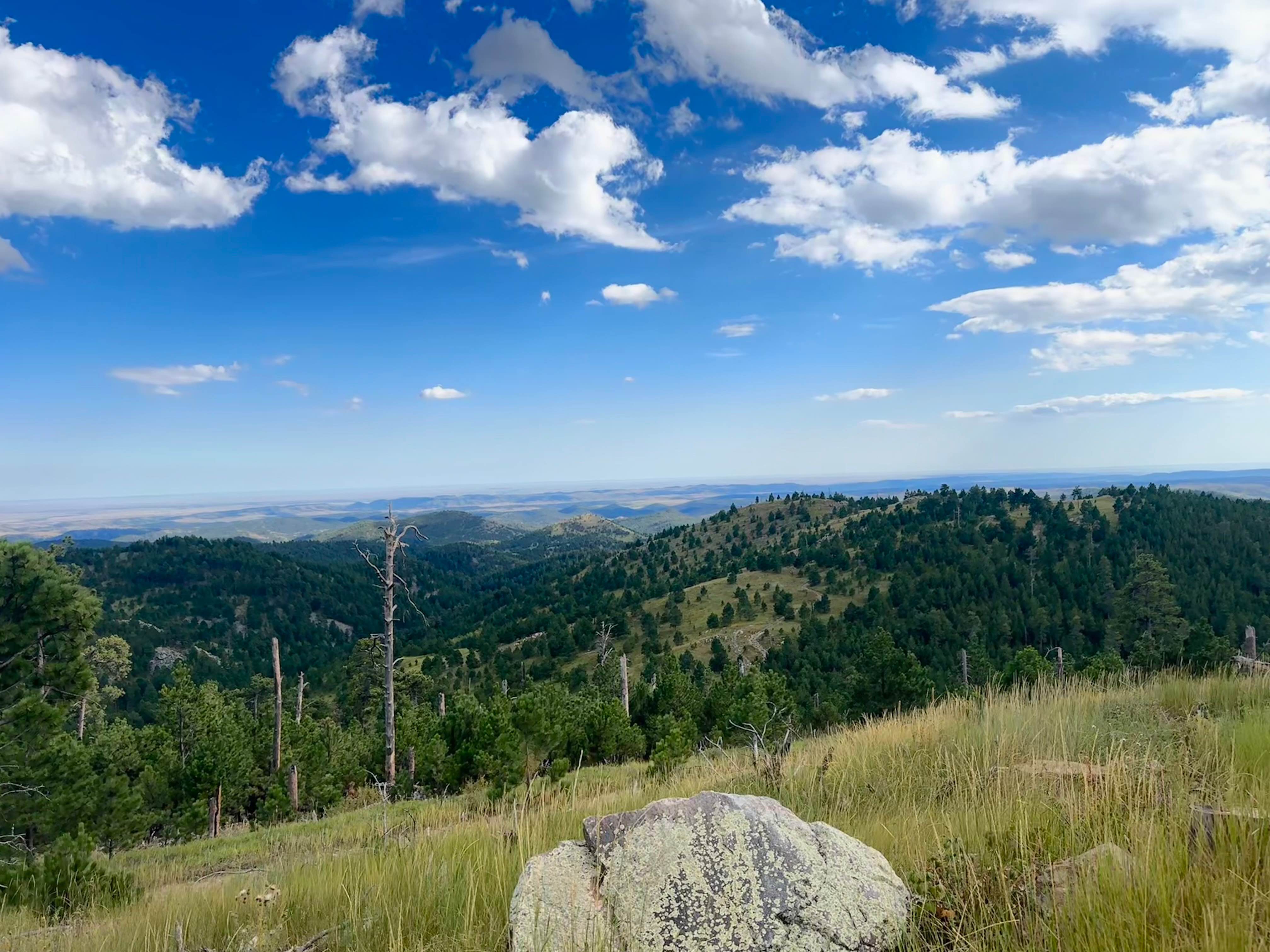
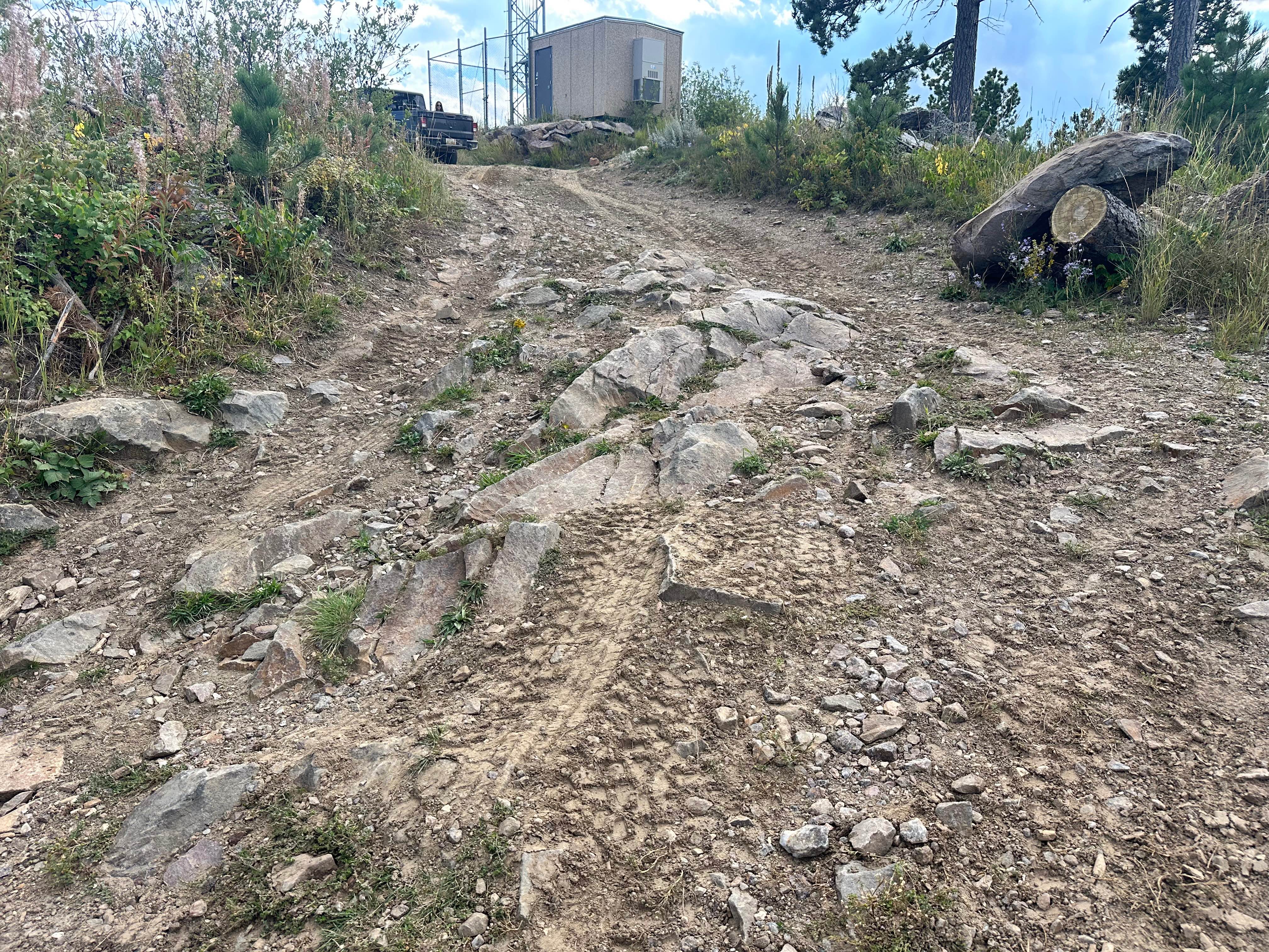
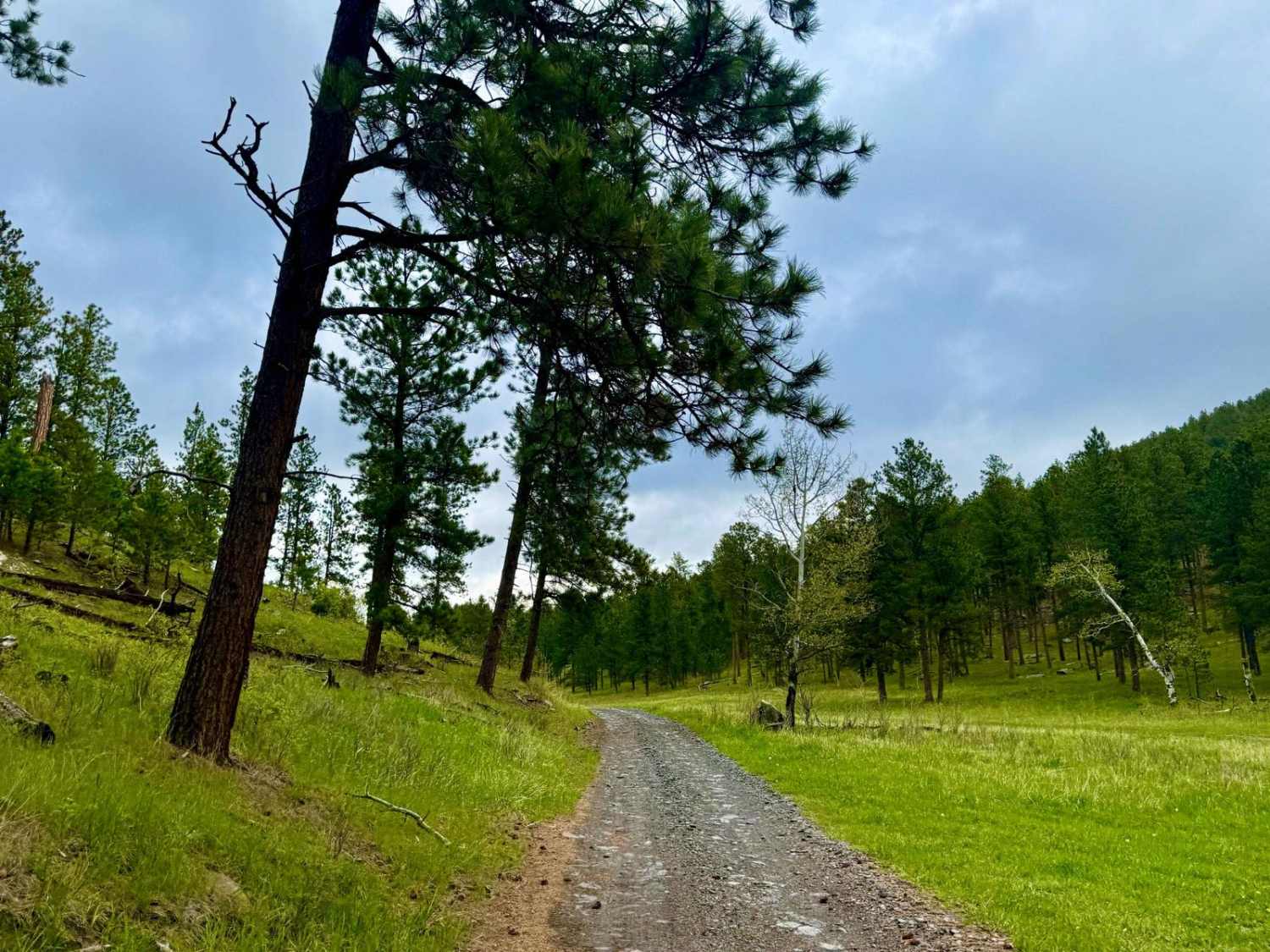
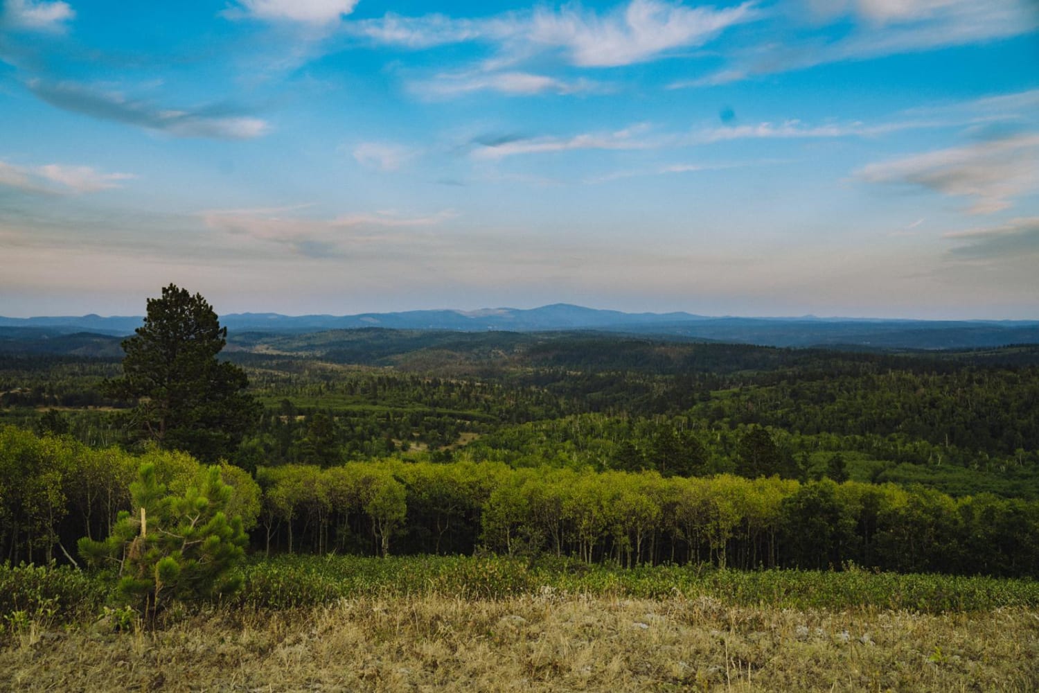
Trail Overview
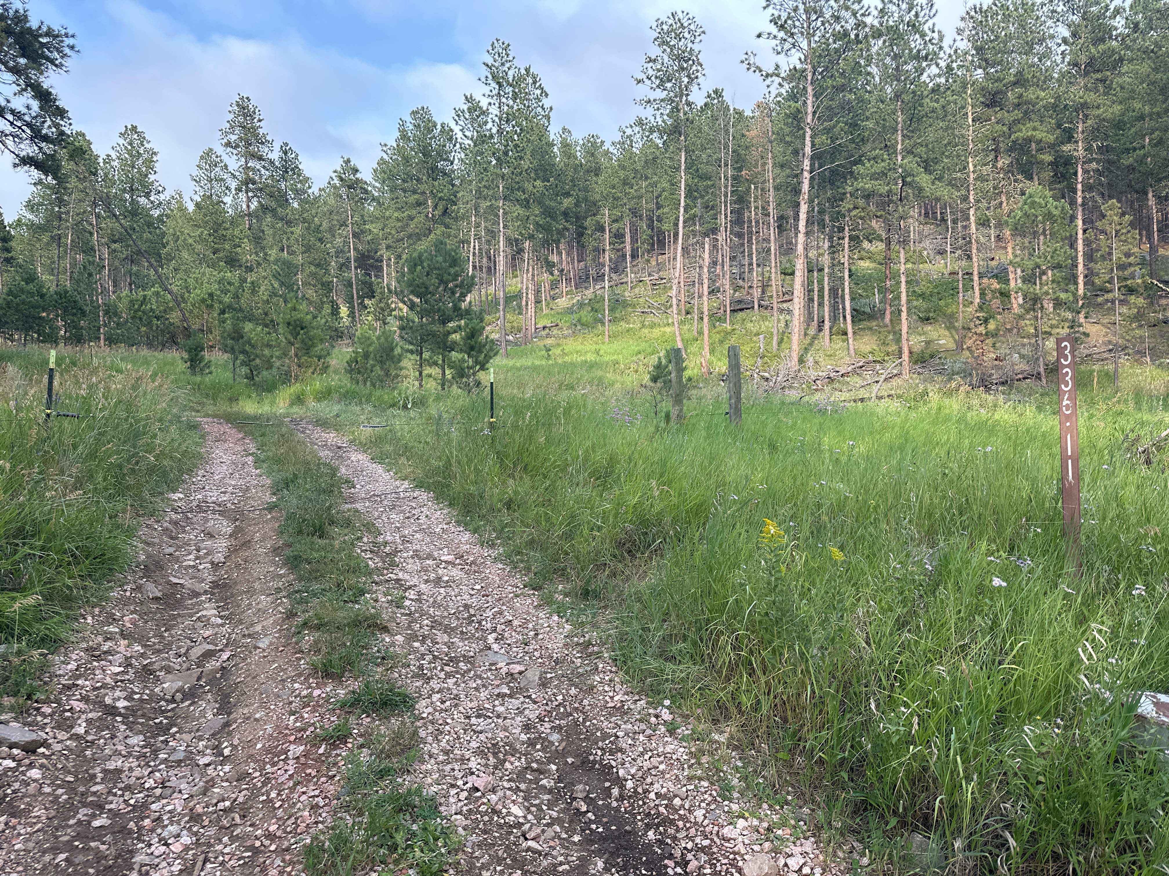
This is a fantastic trail leading up to the summit of Cicero Peak. The route is only 1.7 miles long but climbs 485 feet to a peak elevation of 6,165 feet. Despite its relatively short length, the climb offers rewarding views for nearly the entire ascent. Loose rocks are all over and must be navigated with caution. As you near the peak, the trail narrows slightly and becomes increasingly rocky. There are three main switchbacks on the way up, each with drop-offs on both sides. Be especially mindful of tire placement as you approach these sections. The final switchback is the most technical, featuring a limited approach angle and a large rock protruding into the trail that requires precise maneuvering. At the summit, you'll find a small area where you can turn around or stop to enjoy panoramic views of the Black Hills.
Photos of Cicero Peak Road
Difficulty
Loose rock up to the size of softballs and switchbacks nearing the peak make up the majority of this route. Most of the trail you are traveling on the edge of a cliff that drops off beyond the road, so be careful where you place your tires.
Status Reports
Cicero Peak Road can be accessed by the following ride types:
- High-Clearance 4x4
- SUV
- SxS (60")
- ATV (50")
- Dirt Bike
Cicero Peak Road Map
Popular Trails

Gillette Canyon - FS 296
Boundary Gulch
Hines Br1i / 336-11
The onX Offroad Difference
onX Offroad combines trail photos, descriptions, difficulty ratings, width restrictions, seasonality, and more in a user-friendly interface. Available on all devices, with offline access and full compatibility with CarPlay and Android Auto. Discover what you’re missing today!