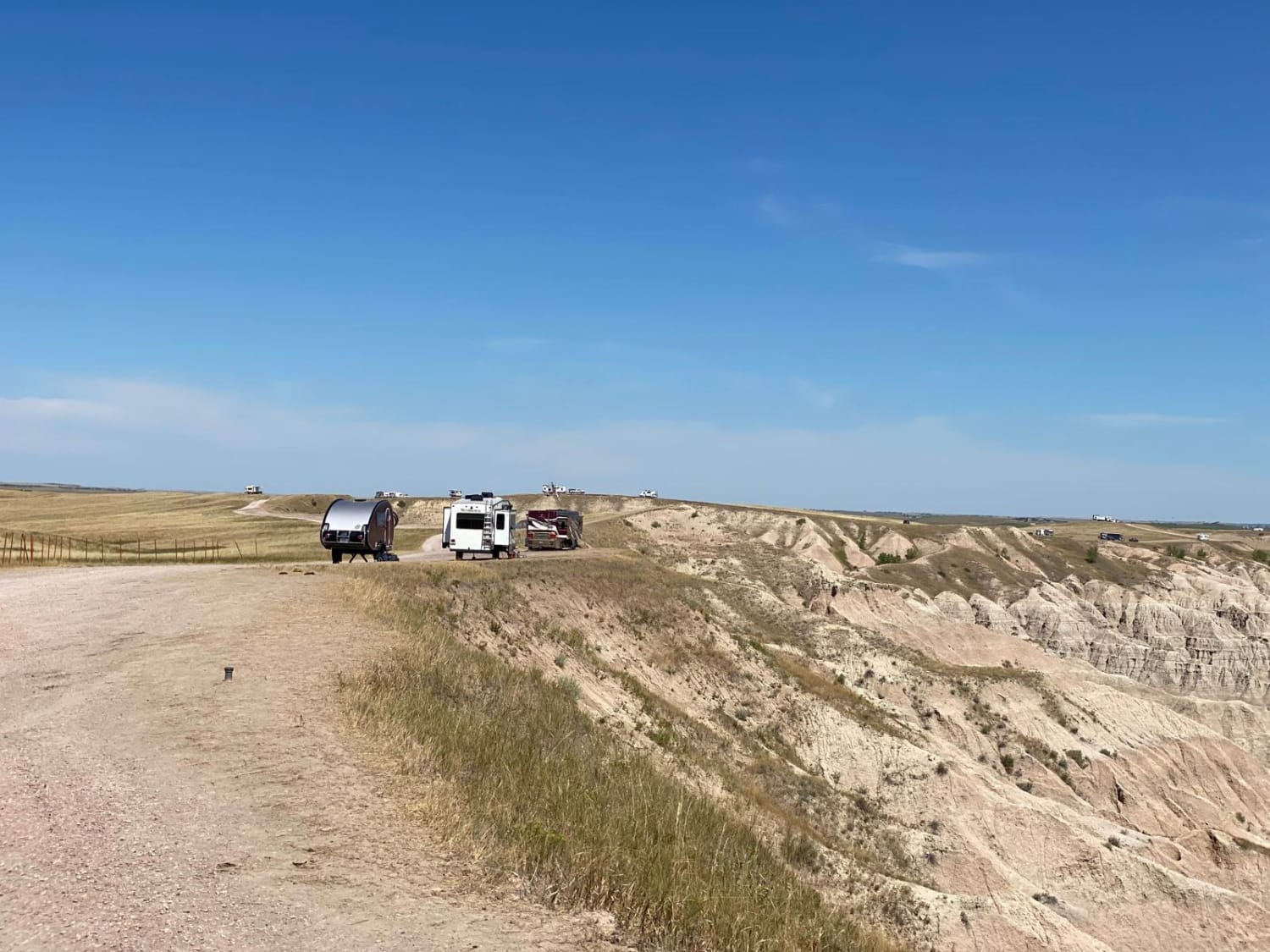
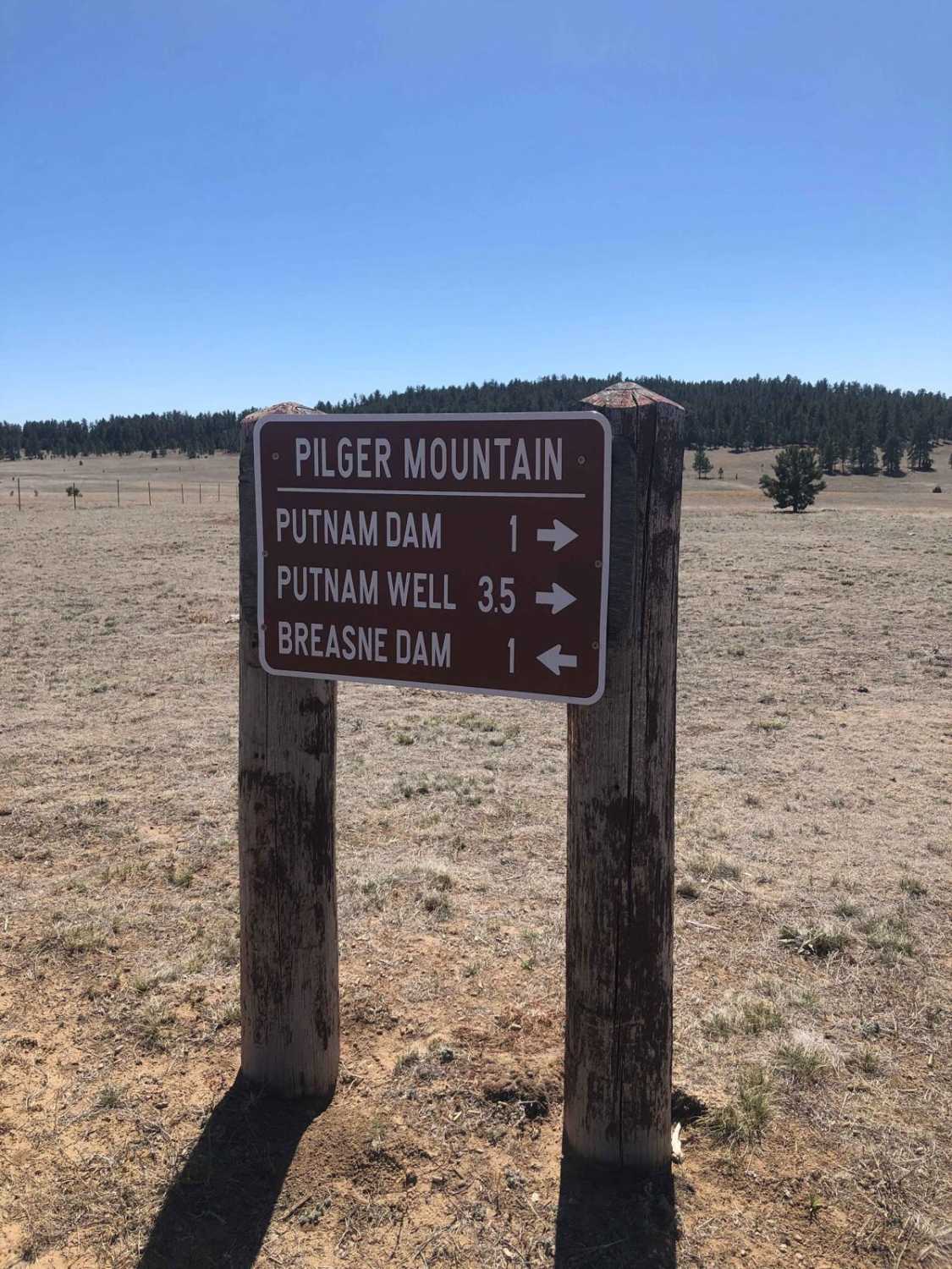
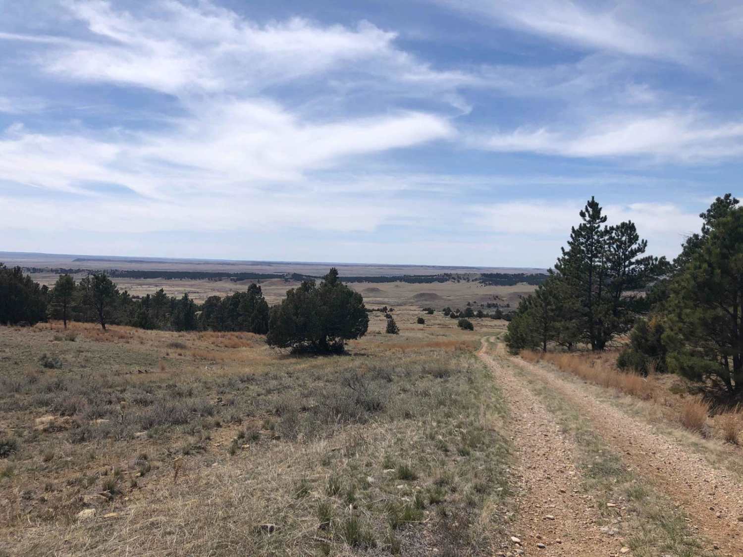
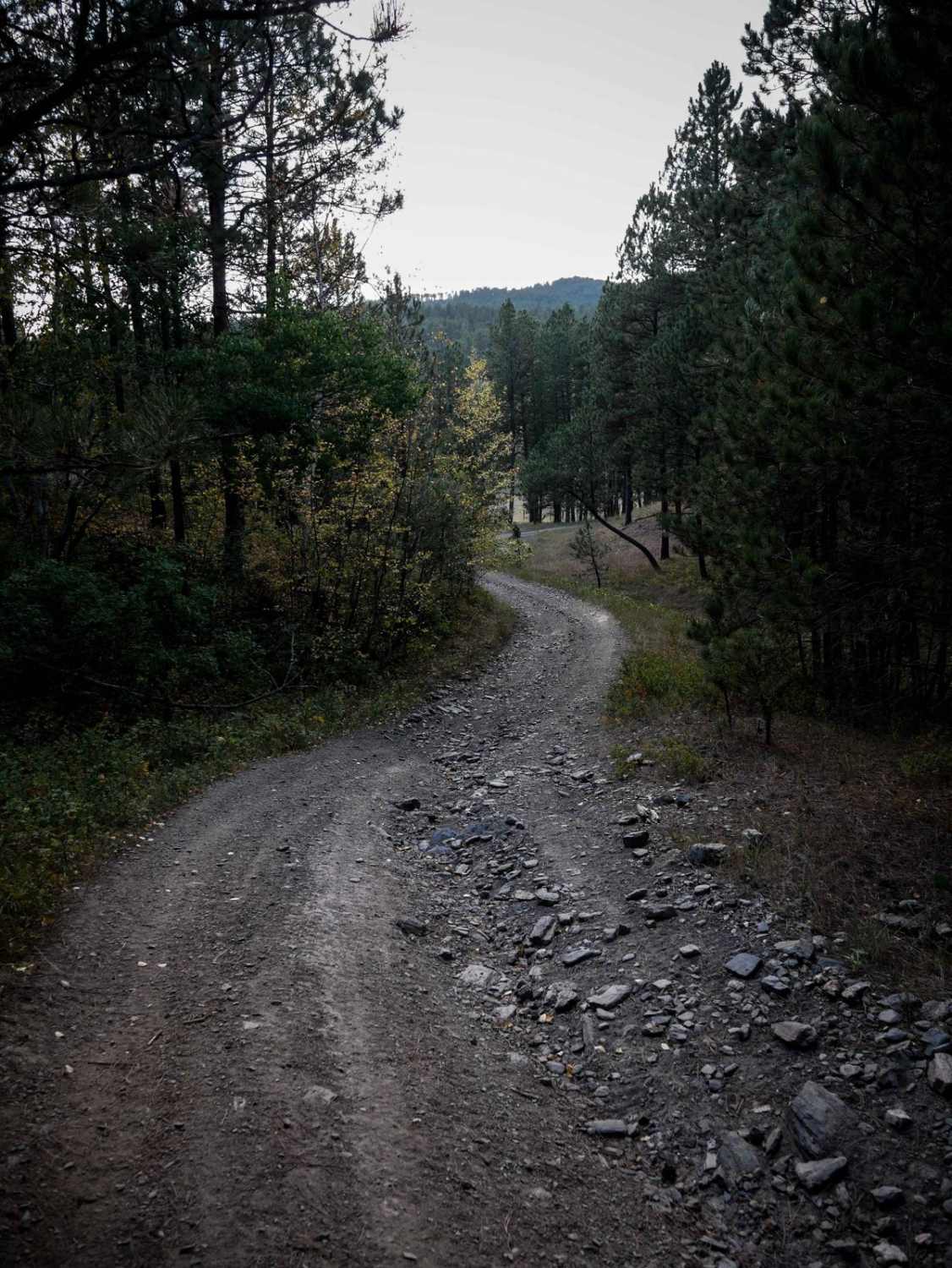
Off-Road Trails in South Dakota
Discover off-road trails in South Dakota
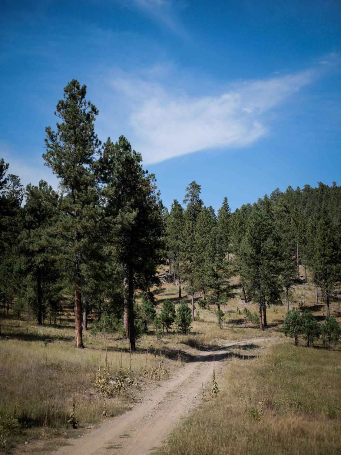
Learn more about Slate Creek Rim Trail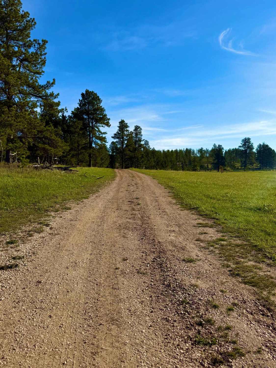
Slate Creek Rim Trail
Total Miles
1.6
Tech Rating
Easy
Best Time
Spring, Summer, Fall, Winter
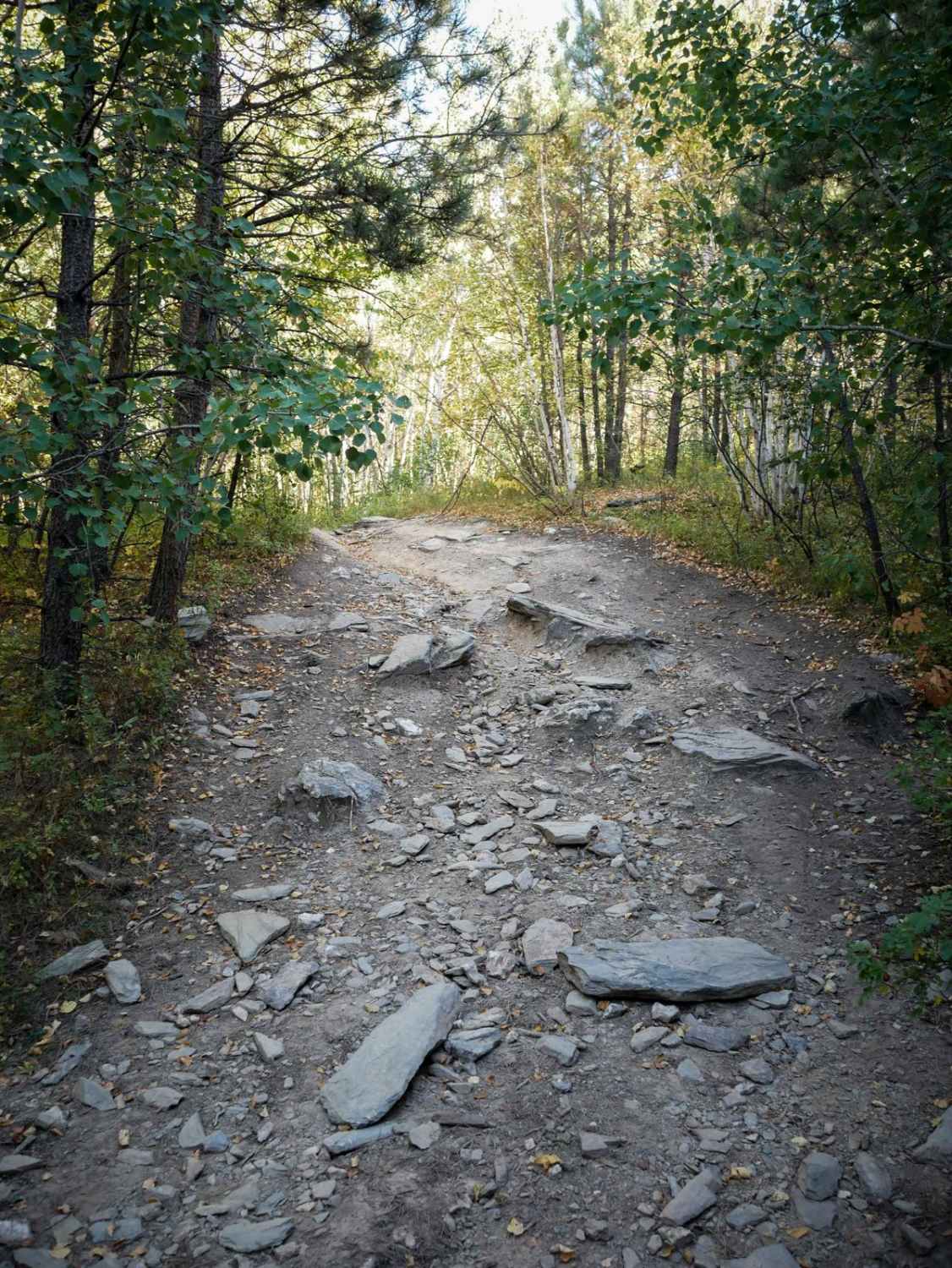
Learn more about Slate Prairie Road 1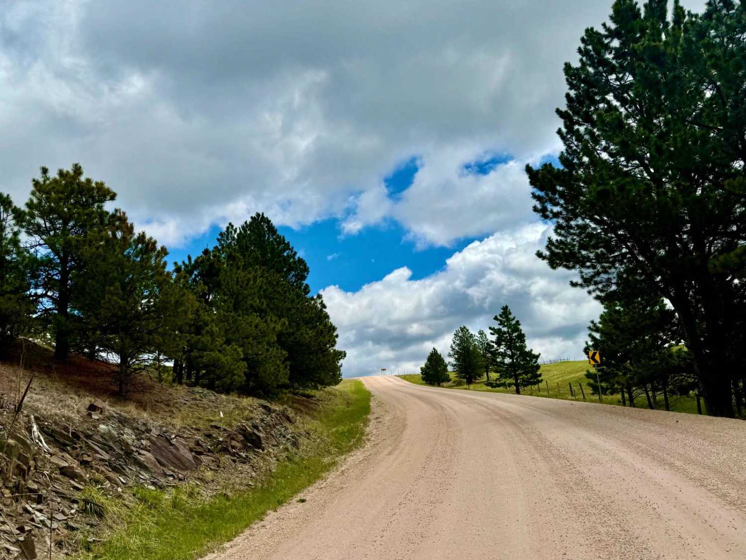
Slate Prairie Road 1
Total Miles
3.7
Tech Rating
Easy
Best Time
Spring, Summer, Fall

Learn more about Song Dog Road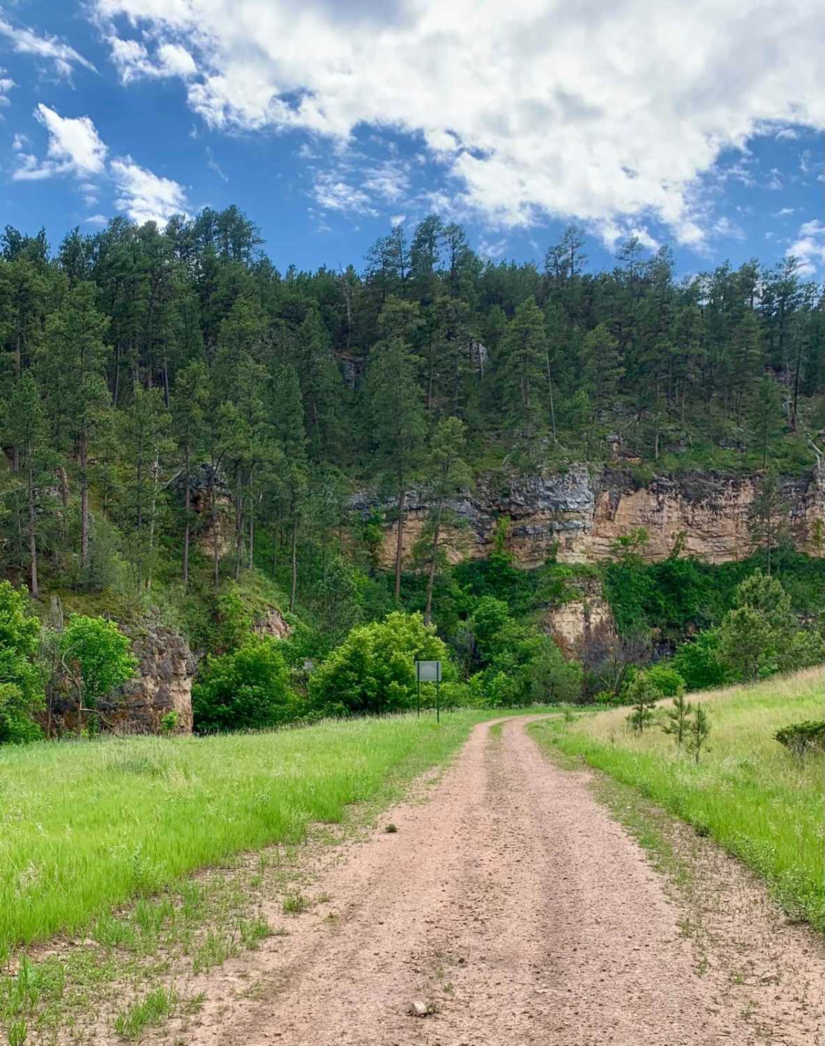
Song Dog Road
Total Miles
12.3
Tech Rating
Easy
Best Time
Spring, Summer, Fall
Learn more about South Boxelder Creek Overpass
South Boxelder Creek Overpass
Total Miles
3.4
Tech Rating
Moderate
Best Time
Spring, Summer, Fall
Learn more about South Castle Creek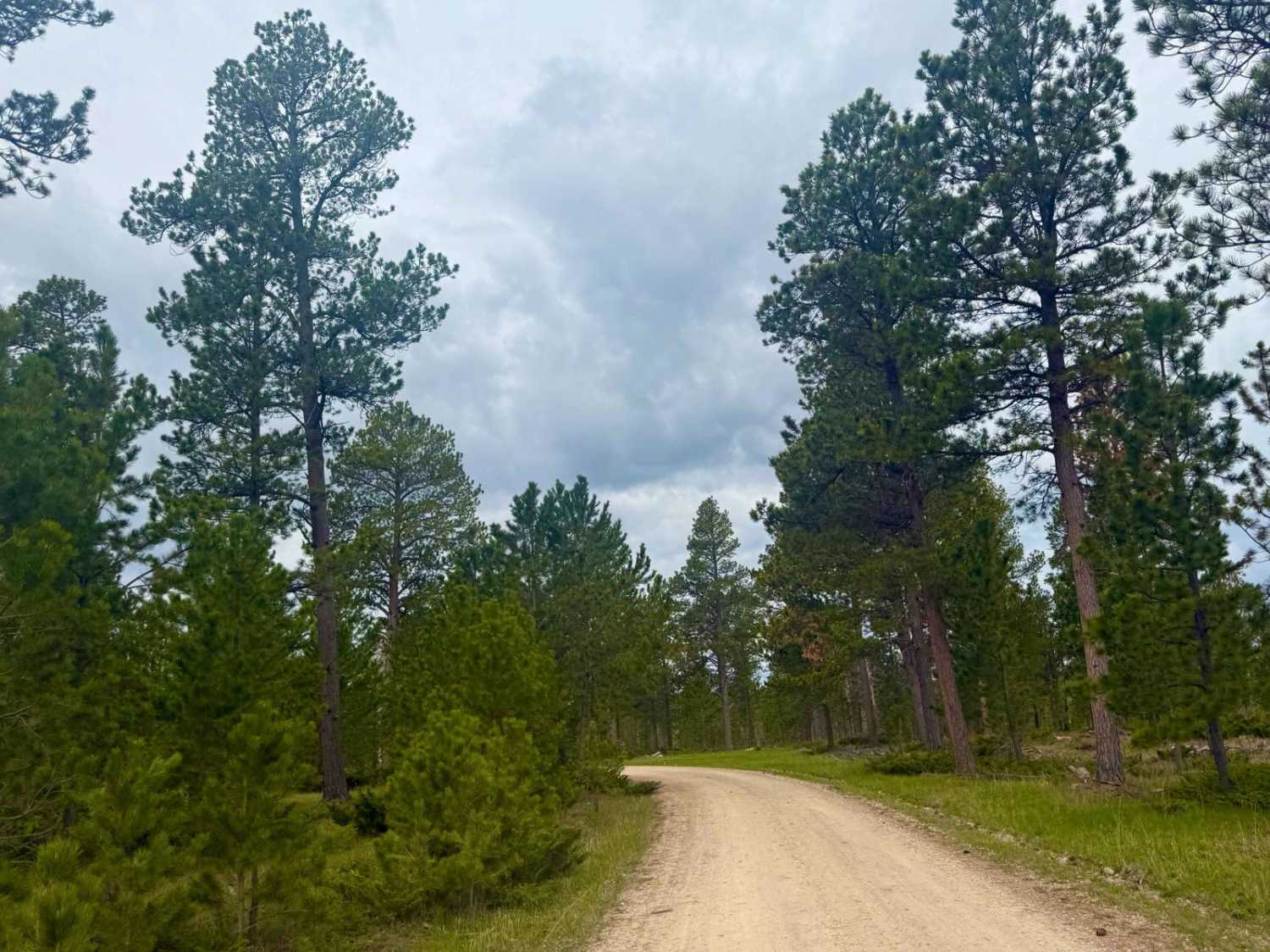
South Castle Creek
Total Miles
3.3
Tech Rating
Easy
Best Time
Spring, Fall, Summer
Learn more about South Rapid 231.5
South Rapid 231.5
Total Miles
12.3
Tech Rating
Easy
Best Time
Spring, Summer, Fall
Learn more about South Shore - FS 421
South Shore - FS 421
Total Miles
1.9
Tech Rating
Easy
Best Time
Spring, Summer, Fall, Winter
Learn more about Spaw Gulch - FSR#606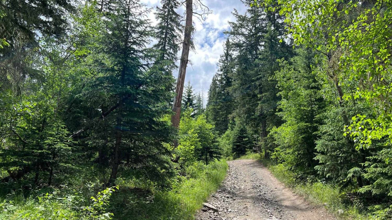
Spaw Gulch - FSR#606
Total Miles
4.6
Tech Rating
Easy
Best Time
Spring, Summer, Fall
Learn more about Spearfish Mountain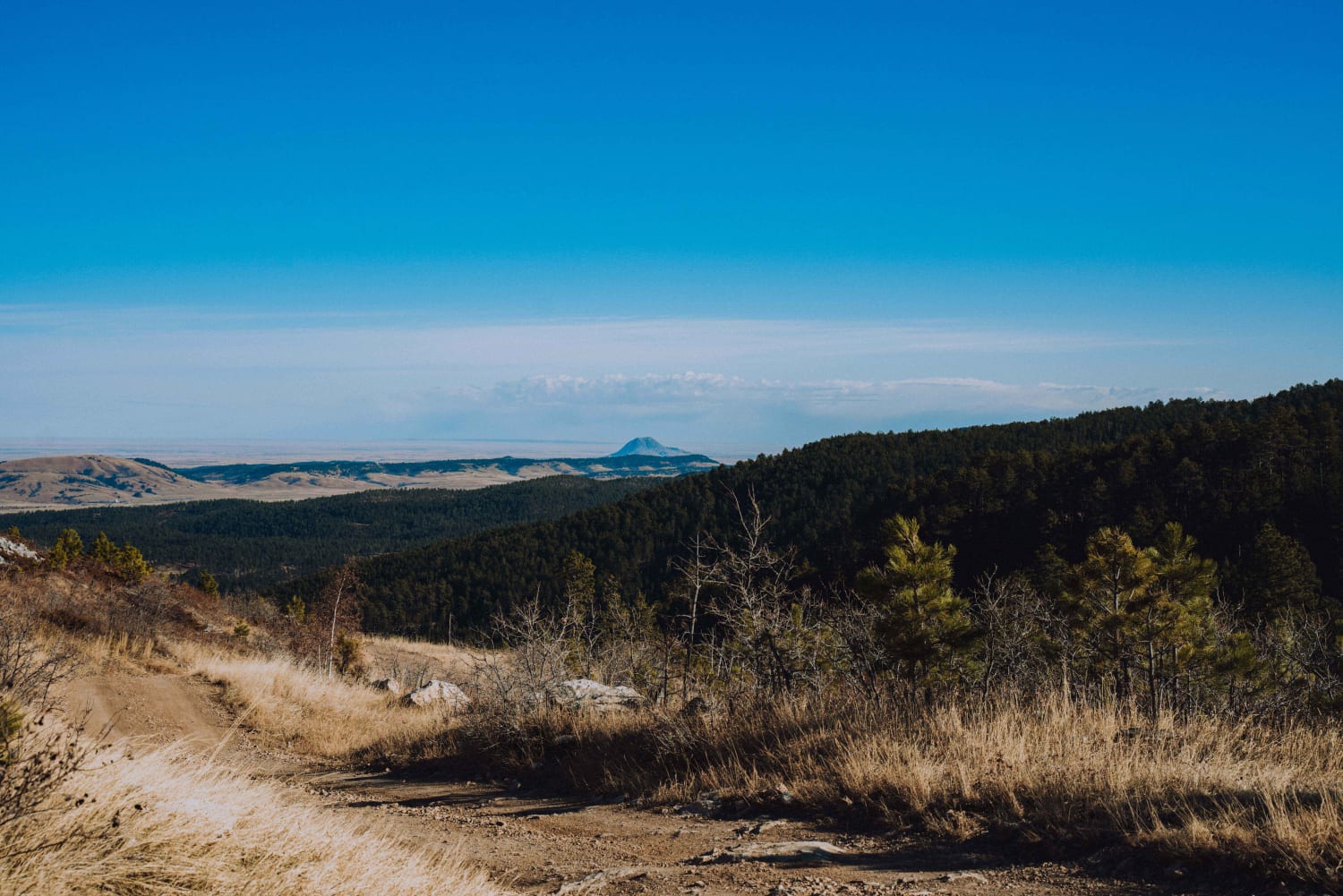
Spearfish Mountain
Total Miles
5.1
Tech Rating
Easy
Best Time
Spring, Summer, Fall
Learn more about Spring Creek Road - FS 305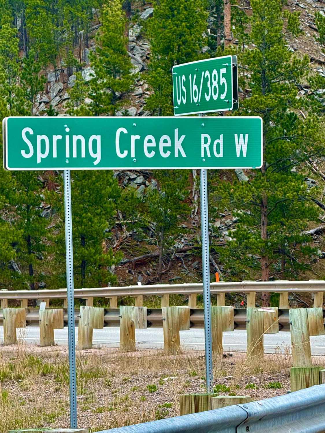
Spring Creek Road - FS 305
Total Miles
5.9
Tech Rating
Easy
Best Time
Spring, Fall, Summer, Winter
Learn more about Spring Draw Rd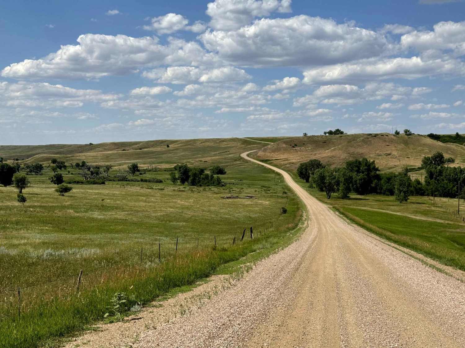
Spring Draw Rd
Total Miles
6.0
Tech Rating
Easy
Best Time
Spring, Summer, Fall
Learn more about Storm Mountain Road - Coon Hollow
Storm Mountain Road - Coon Hollow
Total Miles
1.6
Tech Rating
Easy
Best Time
Spring, Summer, Fall, Winter
Learn more about Summit Road(FS 265)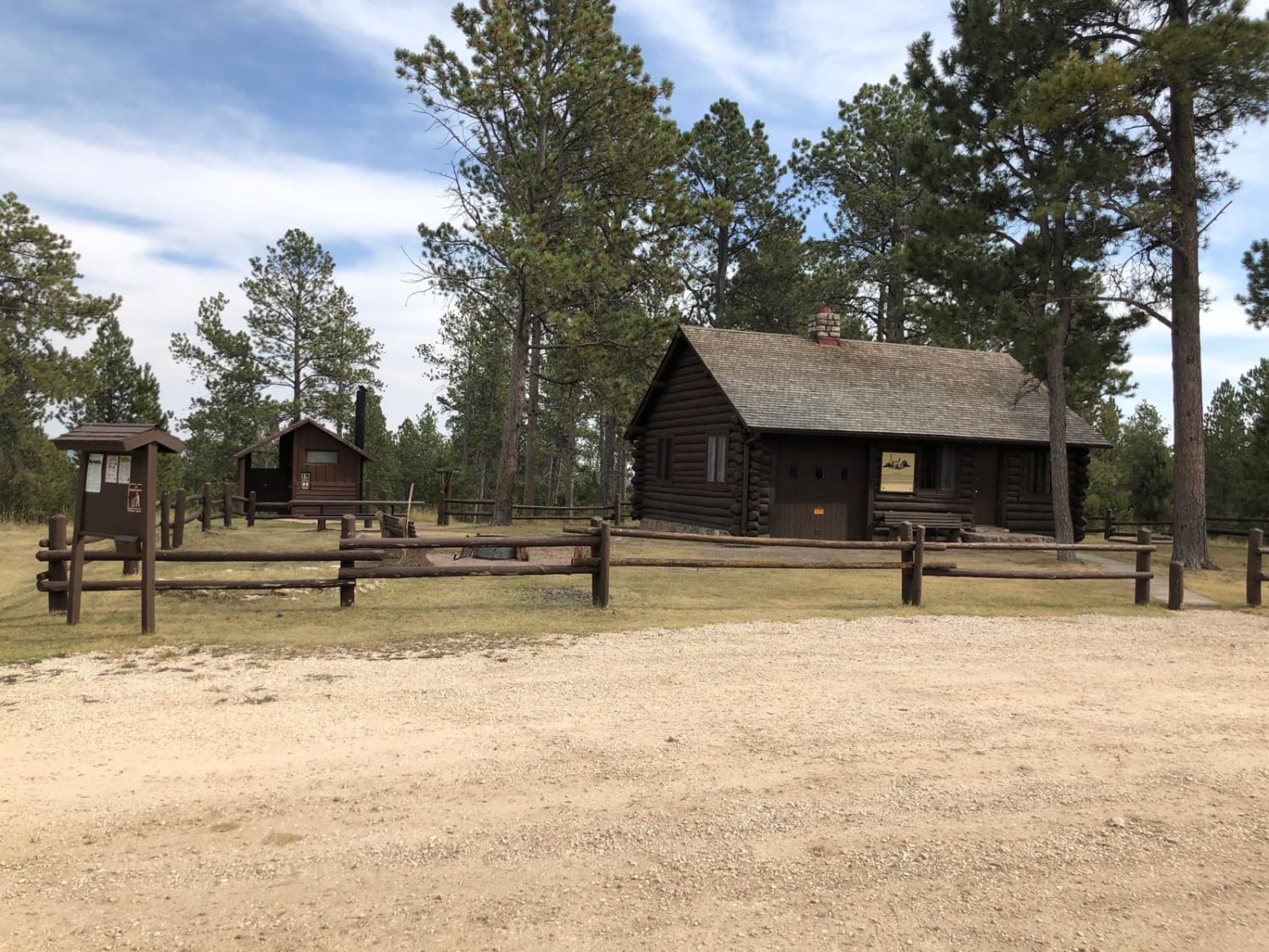
Summit Road(FS 265)
Total Miles
3.6
Tech Rating
Easy
Best Time
Spring, Summer, Fall
Learn more about Surveyor Hill Road
Surveyor Hill Road
Total Miles
6.0
Tech Rating
Easy
Best Time
Summer, Fall
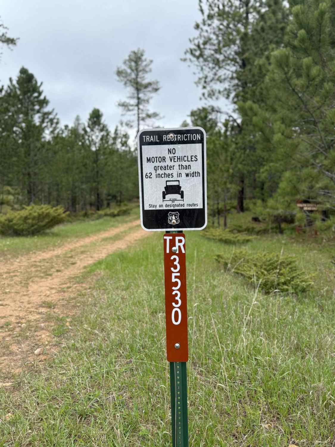
Learn more about Tepee Branch Road - FS 271.1A
Tepee Branch Road - FS 271.1A
Total Miles
1.9
Tech Rating
Easy
Best Time
Spring, Summer, Fall
Learn more about Tinton Road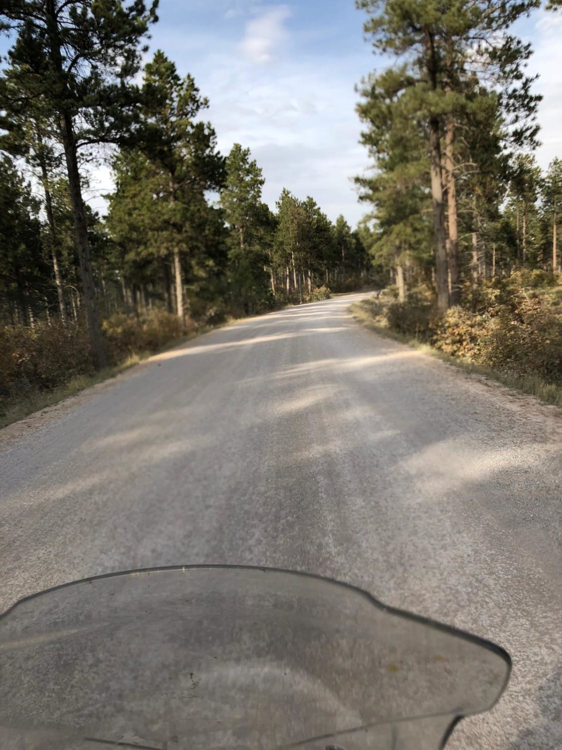
Tinton Road
Total Miles
25.3
Tech Rating
Easy
Best Time
Spring, Summer, Fall, Winter
ATV trails in South Dakota
UTV/side-by-side trails in South Dakota
The onX Offroad Difference
onX Offroad combines trail photos, descriptions, difficulty ratings, width restrictions, seasonality, and more in a user-friendly interface. Available on all devices, with offline access and full compatibility with CarPlay and Android Auto. Discover what you’re missing today!